Plizio Visual Lab
Mali-Guinea border forest
Weather…
Water temperature…
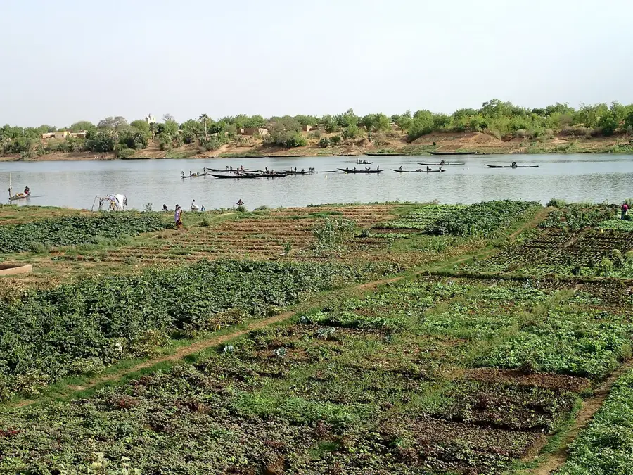
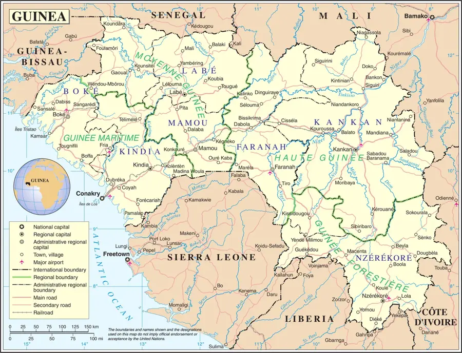
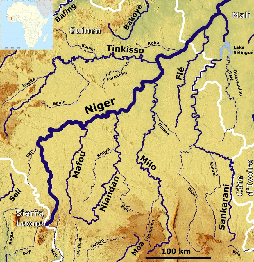
The border forest between Mali and Guinea in the extreme southwest of Mali represents one of the country's most biologically diverse regions. This area is characterized by a transitional climate between the dry Sahel and the humid Guinean zone, resulting in a unique blend of wooded savanna and dense gallery forests. The forest serves as a critical refuge for numerous endangered species, including chimpanzees, elephants, and various antelope species. Geographically, the region is defined by the upper reaches of the Bafing and Falémé rivers, which provide vital water sources for wildlife. Historically, this border area was difficult to access due to its dense vegetation and rugged terrain, which helped preserve its natural resources. Today, transboundary conservation initiatives strive to protect the forest's ecological integrity against illegal logging and poaching. The region is also culturally significant, being inhabited by communities closely tied to the forest's natural cycles.
- Location: Mali
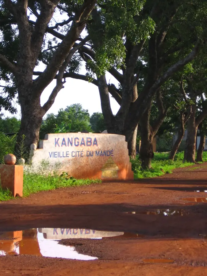
- Nearby: Kangaba (64 km)
Best time to visit & climate
The most pleasant time to visit is Jan, Nov, Dec.
| Jan | Feb | Mar | Apr | May | Jun | Jul | Aug | Sep | Oct | Nov | Dec | |
|---|---|---|---|---|---|---|---|---|---|---|---|---|
| Avg °C | 25 | 28 | 31 | 32 | 31 | 28 | 26 | 25 | 25 | 26 | 26 | 25 |
| Rain mm | 2 | 1 | 3 | 33 | 75 | 156 | 236 | 313 | 241 | 76 | 4 | 0 |
📋 Practical info
Geography
Facts
- The region receives over 1,000 mm of annual rainfall.
- The Bafing River forms part of the natural border with Guinea here.
- It is one of the last strongholds for the Western Chimpanzee.
- Elevation in the area varies between 300 and 600 meters above sea level.
- The Falémé region is historically famous for its gold deposits.
- Border protection agreements between Mali and Guinea were strengthened in the 1990s.
Explore nearby
Notable places around
Route planner — Car & Motorhome
Where do you start? We build the route here, with stops and country notes along the way.
© OpenStreetMap contributors · OpenRouteService
Sights nearby
Frequently asked questions
Do I need a visa to cross the border?
Is it a hiking region?
What is the biggest risk?
When is it safest?
Do you need special equipment?
Mali-Guinea border forest: where is it located?
Mali-Guinea border forest: when is the best time to visit?
Mali-Guinea border forest: why is it worth visiting?

Nearby cities
History & landmarks
Nature
More places