Plizio Visual Lab
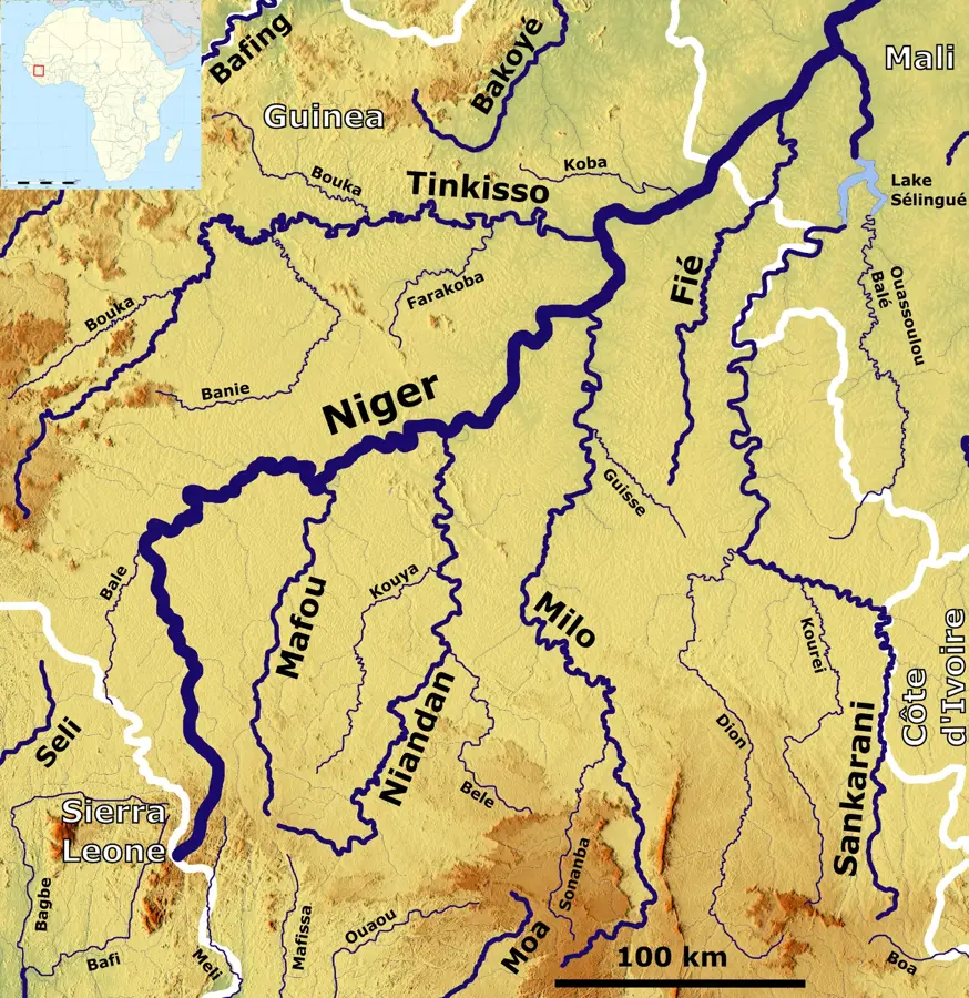
Sélingué Dam

Weather…
Water temperature…
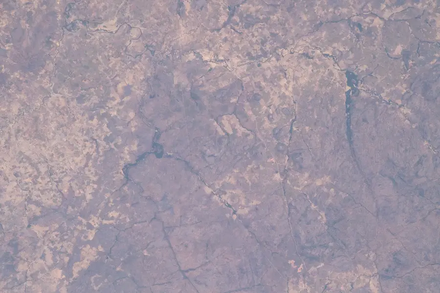
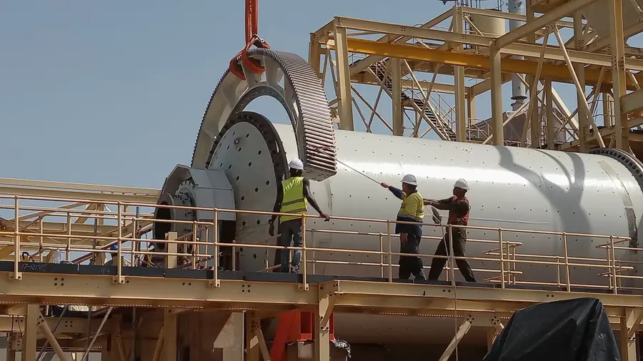
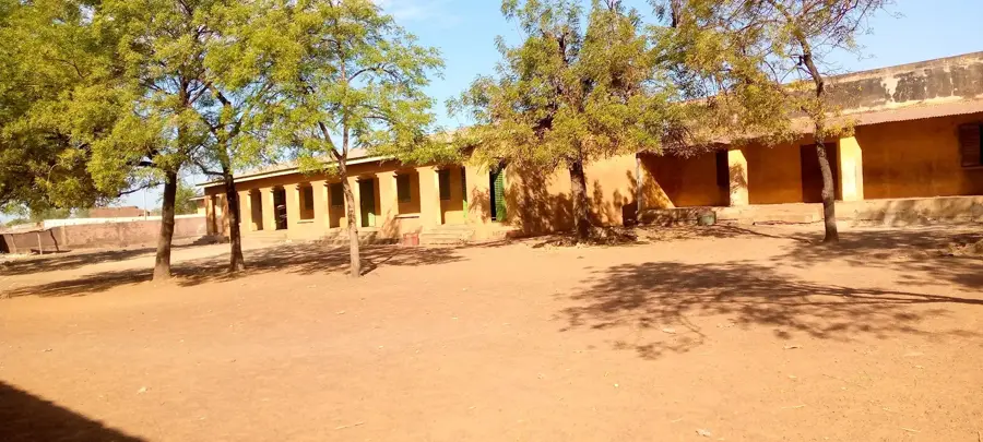
The Sélingué Dam, located on the Sankarani River, a major tributary of the Niger, is a vital multi-purpose infrastructure located about 140 km south of Bamako. Completed in 1980 after four years of construction, the dam was for many years the primary source of electricity for Mali's capital, fueling its rapid urban and industrial growth. With an installed capacity of 44 MW, it remains a key component of the national energy mix. The dam created a massive reservoir covering over 400 square kilometers, which has had a profound impact on the local economy, particularly in the fishing sector. Sélingué is now one of Mali's most productive inland fisheries, providing thousands of tons of fish annually and supporting a large community of artisanal fishers. Furthermore, the reservoir enables the irrigation of vast agricultural perimeters, predominantly dedicated to rice cultivation, which is essential for regional food security. The area surrounding the lake has also developed into a recreational zone for Bamako residents, boosting local tourism. Beyond power and food, the dam plays a crucial role in regulating the Sankarani's flow, helping to manage water levels downstream in the Niger River and mitigating the effects of seasonal floods and droughts.
- Location: Mali
- Top sights: Lake Sélingué · Tagandougou · Binko, Sikasso
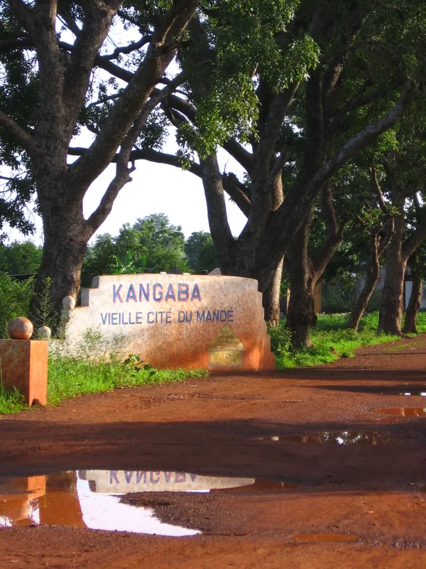
- Nearby: Kangaba (40 km)
Best time to visit & climate
The most pleasant time to visit is Jan, Nov, Dec.
| Jan | Feb | Mar | Apr | May | Jun | Jul | Aug | Sep | Oct | Nov | Dec | |
|---|---|---|---|---|---|---|---|---|---|---|---|---|
| Avg °C | 24 | 28 | 31 | 32 | 31 | 28 | 26 | 25 | 25 | 27 | 26 | 24 |
| Rain mm | 1 | 1 | 3 | 27 | 74 | 149 | 231 | 299 | 233 | 74 | 4 | 0 |
📋 Practical info
Geography
Facts
- Capacity: 44 MW hydroelectric power generation
- Completion Date: Finished and operational in 1980
- Reservoir Area: Spans approximately 400 square kilometers
- Fisheries: Produces thousands of tons of fish per year
- Location: Sankarani River, south of the capital Bamako
- Irrigation: Supports a major rice-growing perimeter
Explore nearby
Notable places around
Route planner — Car & Motorhome
Where do you start? We build the route here, with stops and country notes along the way.
© OpenStreetMap contributors · OpenRouteService
Sights in the town Sélingué Dam (3)
Sights nearby
Frequently asked questions
Why is the Sélingué dam known?
Can one buy fish there?
Is the reservoir a destination for trips?
How do you get from Bamako to Sélingué?
Is the electricity here used for the whole country?
Sélingué Dam: where is it located?
Sélingué Dam: what is there to see?
Sélingué Dam: when is the best time to visit?
Sélingué Dam: why is it worth visiting?

Nearby cities
Nature
More places