Plizio Visual Lab
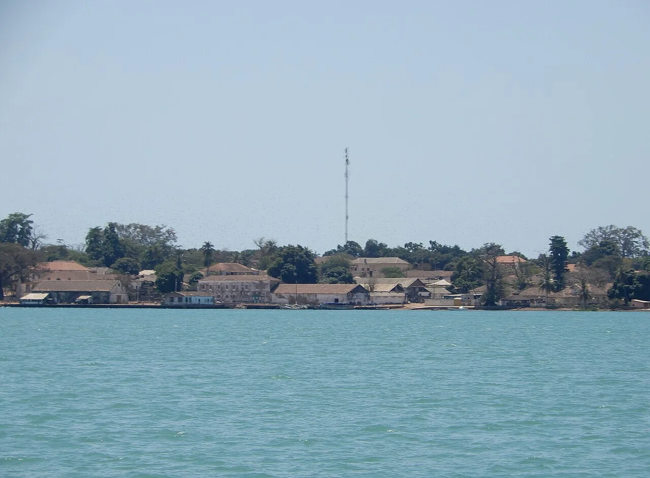
Bolama Palm Grove
Weather…
Water temperature…
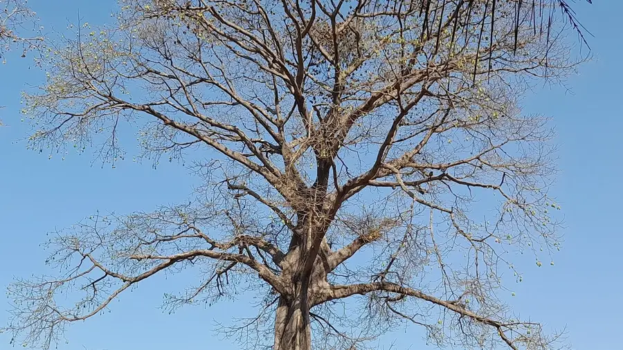
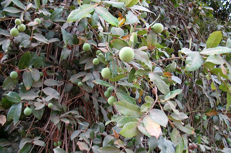
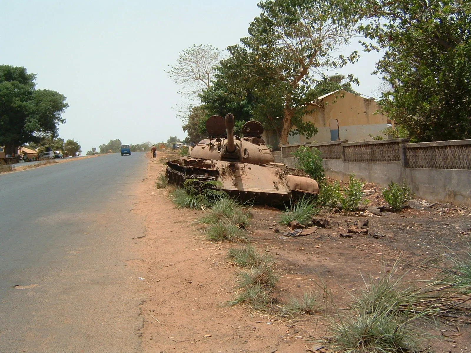
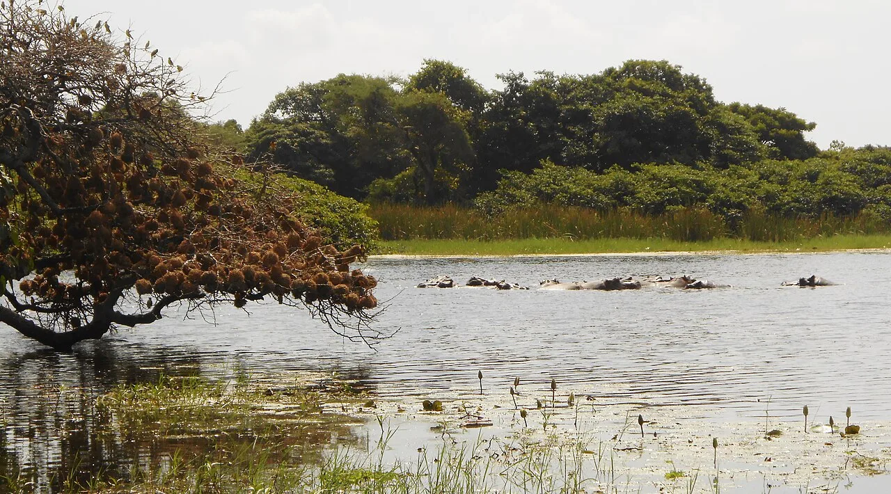
The relief of the palm forests on Bolama Island is characterized by a gently undulating coastal plain, typical of the inner Bijagós Archipelago. This area sits barely 5 to 10 meters above sea level and is geomorphologically distinguished by a mix of sandy deposits and laterite substrates. The relief is dominated by dense stands of the African oil palm (Elaeis guineensis), which often grow on slight elevations, while wetlands form in the depressions after heavy rains. The topography of the palm forests is closely linked to human settlement; many groves are located on the foundations of former colonial-era plantations. The flat nature of the relief allows for easy traversal but also leads to a susceptibility to soil salinization through the capillary action of nearby seawater. The soil surface is often covered by a layer of fallen palm fronds, which prevents erosion. Geologically, this relief represents a stable coastal plateau that stands in contrast to the island's dynamic mangrove zones. The gentle rises also provide natural drainage paths for rainwater toward the coast.
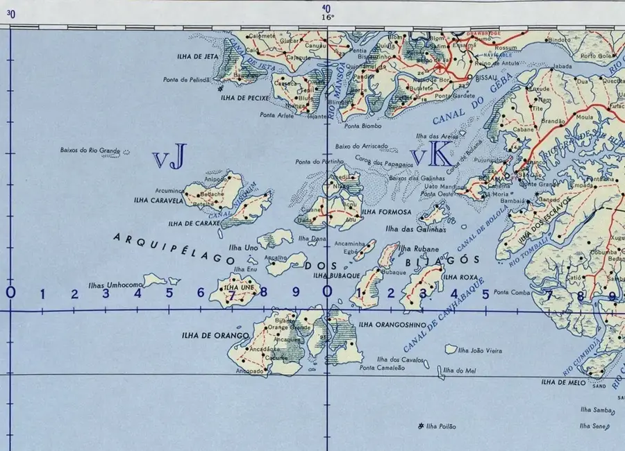
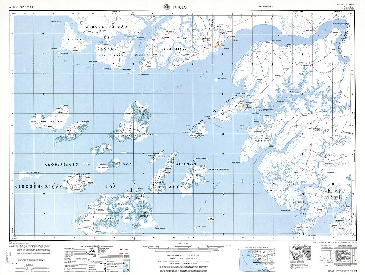
- Location: Guinea-Bissau
- Top sights: Ruinas de pavilhão hospitalar - Internamento · Casa da família Nunes Correia · Casa Pinto
- Nearby: Tite (19 km)
Best time to visit & climate
The most pleasant time to visit is Jan, Feb, Dec.
| Jan | Feb | Mar | Apr | May | Jun | Jul | Aug | Sep | Oct | Nov | Dec | |
|---|---|---|---|---|---|---|---|---|---|---|---|---|
| Avg °C | 24 | 26 | 27 | 28 | 28 | 28 | 27 | 27 | 27 | 28 | 28 | 25 |
| Rain mm | 0 | 0 | 1 | 0 | 21 | 142 | 405 | 518 | 363 | 189 | 15 | 0 |
📋 Practical info
Geography
Facts
- The relief constitutes the most stable land surface on Bolama Island.
- The average elevation of the terrain varies by only a few meters.
- Sandy coastal deposits dominate the geological profile.
- The topography favors the cultivation of secondary crops under the palms.
- Small erosion channels drain rainwater toward the mangroves.
- The soil features a high humus content due to organic palm debris.
Explore nearby
Notable places around
Route planner — Car & Motorhome
Where do you start? We build the route here, with stops and country notes along the way.
© OpenStreetMap contributors · OpenRouteService
Sights in the town Bolama Palm Grove (6)
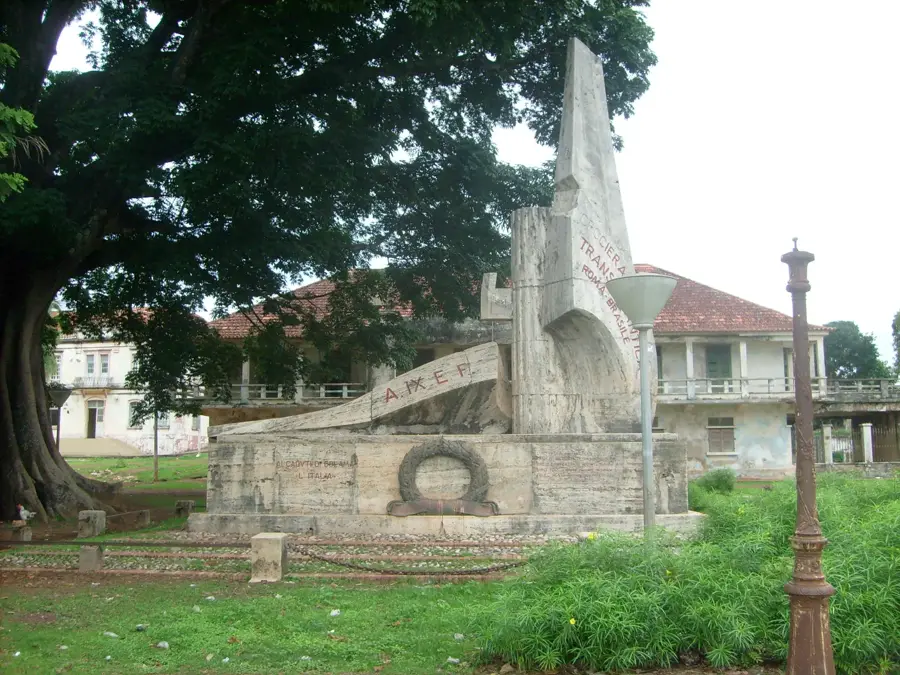
Casa Pinto
Ruins of Casa Pinto in Bolama. The building is dilapidated.
Praia de Ofir
Beach in Guinea-Bissau. Sandy shoreline along the coast.
Sights nearby
Frequently asked questions
What is the main attraction of the Bolama Palm Forest?
How do you get from Bissau to Bolama?
Can you watch the oil palm harvest?
Are there paved paths through the grove on Bolama?
Is Bolama suitable for families?
Bolama Palm Grove: where is it located?
Bolama Palm Grove: what is there to see?
Bolama Palm Grove: when is the best time to visit?
Bolama Palm Grove: why is it worth visiting?

Nearby cities


History & landmarks
More places