Plizio Visual Lab
Mount Laila
Weather…
Water temperature…
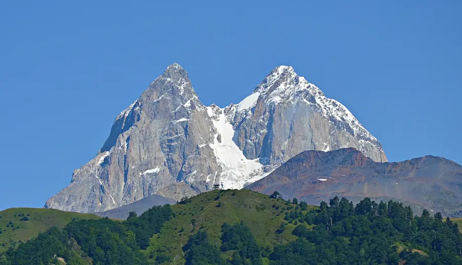
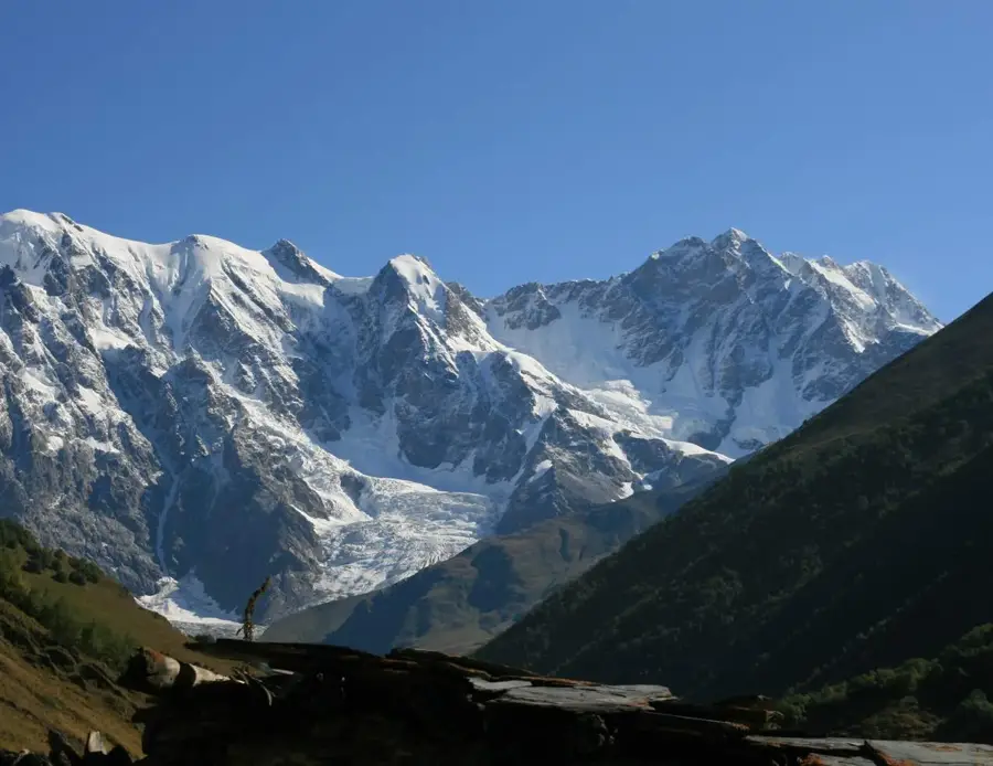
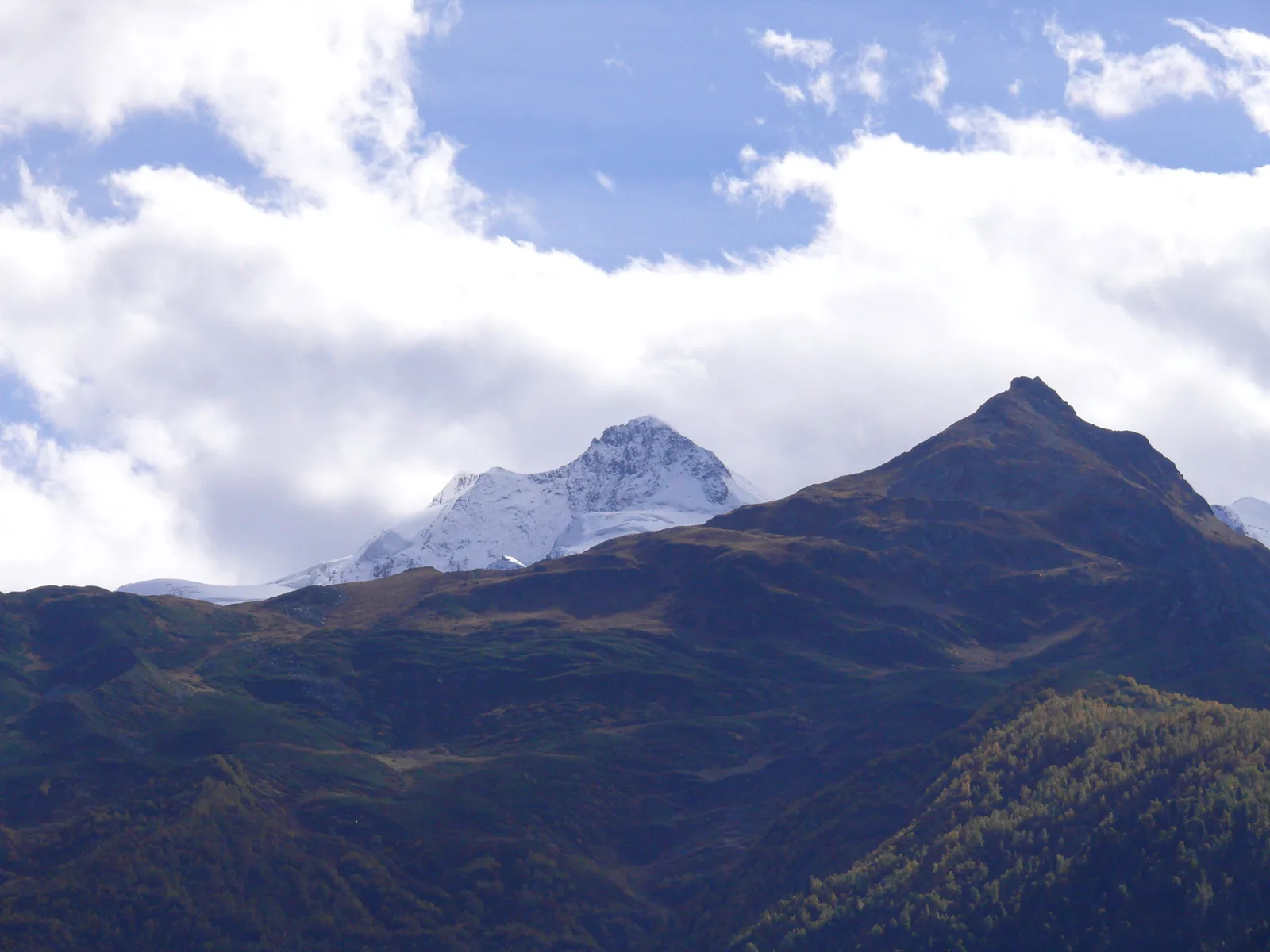
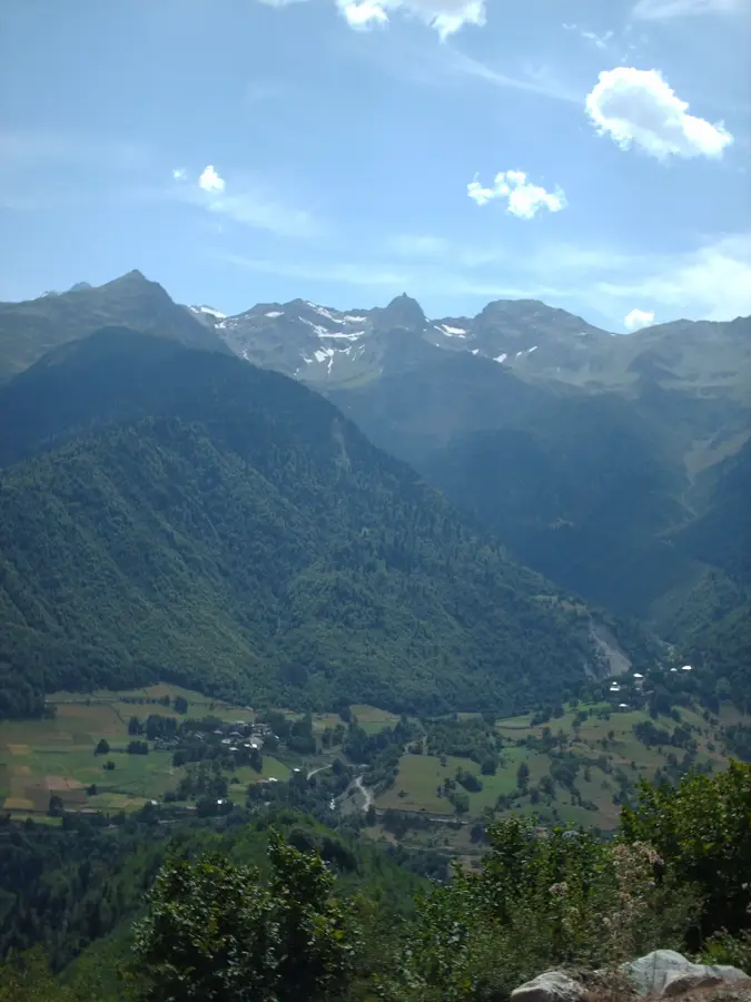
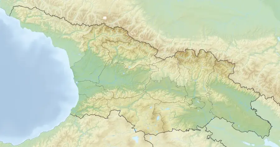
Mount Laila, reaching an elevation of 4008 meters, is the highest peak of the Svaneti Range within the Greater Caucasus in Georgia. Located in the historic Svaneti region, it is characterized by its prominent snow-covered profile and extensive glacial cover. Geologically, the massif is composed of Paleozoic metamorphic schists and granites, typical of the central Caucasus tectonic structure. The mountain is a favored destination for mountaineers, offering a technically moderate climb compared to nearby 5000-meter peaks while providing clear views of Mount Elbrus and Ushba. The first documented ascents took place in the late 19th century during the systematic exploration of the Caucasus by European alpinists. The surrounding slopes support diverse alpine ecosystems, with lower elevations featuring dense coniferous and deciduous forests. In local Svan culture, the peak serves as a vital navigational landmark and a symbol of the region's rugged natural heritage.
- Location: Georgia
- Nearby: Lentekhi (32 km)
Best time to visit & climate
The most pleasant time to visit is Jun–Aug.
| Jan | Feb | Mar | Apr | May | Jun | Jul | Aug | Sep | Oct | Nov | Dec | |
|---|---|---|---|---|---|---|---|---|---|---|---|---|
| Avg °C | -10 | -9 | -6 | -1 | 6 | 10 | 13 | 14 | 9 | 4 | -3 | -8 |
| Rain mm | 78 | 65 | 94 | 68 | 78 | 80 | 67 | 61 | 88 | 97 | 93 | 80 |
📋 Practical info
Geography
Facts
- Mount Laila stands at an official elevation of 4008 meters.
- It is the highest summit of the entire Svaneti Range.
- The geological composition consists of Paleozoic schists and granites.
- Permanent glaciers cover significant portions of its northern slopes.
- The first documented ascent was recorded in the year 1887.
- The peak offers a direct line of sight to the 5642m high Mount Elbrus.
Explore nearby
Notable places around
Route planner — Car & Motorhome
Where do you start? We build the route here, with stops and country notes along the way.
© OpenStreetMap contributors · OpenRouteService
Sights nearby
Frequently asked questions
Where is Mount Laila located?
How high is Mount Laila?
Is a climb possible for hikers?
What can you see from the peak?
When is the best time for an expedition?
Mount Laila: where is it located?
Mount Laila: when is the best time to visit?
Mount Laila: why is it worth visiting?

Nearby cities


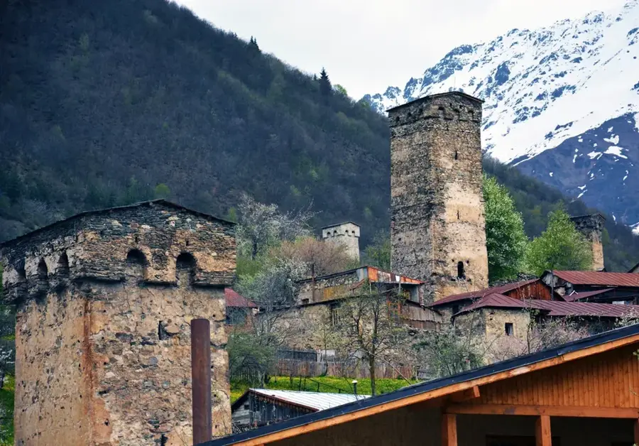
History & landmarks
Nature
More places