Plizio Visual Lab
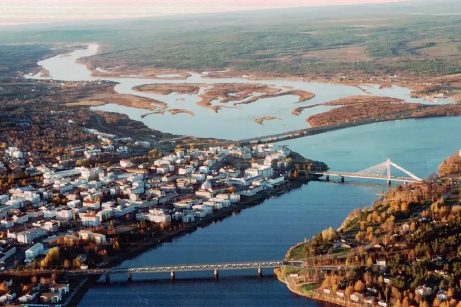
Pyhätunturi
Weather…
Water temperature…
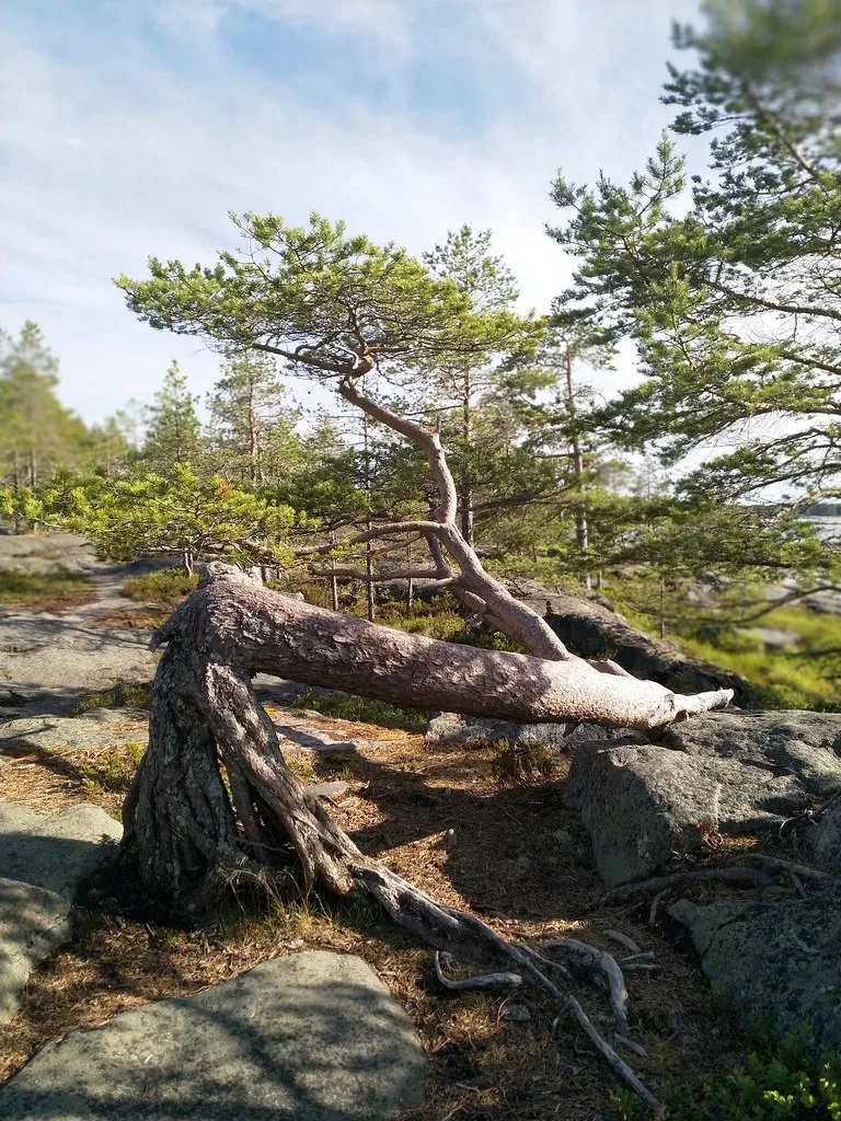
The Pyhätunturi mountain range in Eastern Finnish Lapland spans the municipalities of Pelkosenniemi and Kemijärvi and forms the core of Finland's oldest national park, established in 1938. The highest peak, Noitatunturi, rises to 540 meters above sea level and is composed of ancient quartzite rock dating back over two billion years. Historically, these fells served as sacred sites for the indigenous Sami people, a fact preserved in the name "Pyhä", which translates to "holy" in Finnish. Dramatic geological features such as the Isokuru gorge illustrate the powerful erosive forces of meltwater streams following the last Ice Age. Today, the area is a premier destination for nature tourism and winter sports, while its protected status ensures the preservation of its pristine wilderness. The combination of unique geological formations and arctic flora makes Pyhätunturi a significant site for both cultural heritage and scientific research into subarctic ecosystems.
- Location: Finland
- Top sights: Astelin uimaranta · Noitatunturi · Kultakero
- Nearby: Luosto (17 km)
Best time to visit & climate
The most pleasant time to visit is Jun–Aug.
| Jan | Feb | Mar | Apr | May | Jun | Jul | Aug | Sep | Oct | Nov | Dec | |
|---|---|---|---|---|---|---|---|---|---|---|---|---|
| Avg °C | -13 | -12 | -8 | -2 | 6 | 11 | 15 | 13 | 7 | 0 | -6 | -10 |
| Rain mm | 46 | 37 | 41 | 48 | 75 | 88 | 109 | 95 | 84 | 69 | 59 | 53 |
📋 Practical info
Geography
Facts
- The Pyhä-Luosto National Park was established in 1938 as one of Finland's first.
- Noitatunturi is the highest peak in the range, reaching an elevation of 540 meters.
- The Isokuru gorge is the deepest in Finland, with a vertical drop of 220 meters.
- The mountain range consists of quartzite rock that is over 2 billion years old.
- The region typically experiences more than 200 days of snow cover per year.
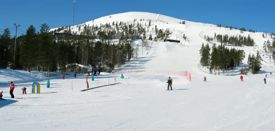
- The local ski resort features 14 slopes and 9 lifts for alpine skiing.
Explore nearby
Notable places around
Route planner — Car & Motorhome
Where do you start? We build the route here, with stops and country notes along the way.
© OpenStreetMap contributors · OpenRouteService
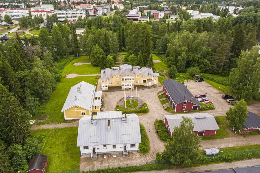
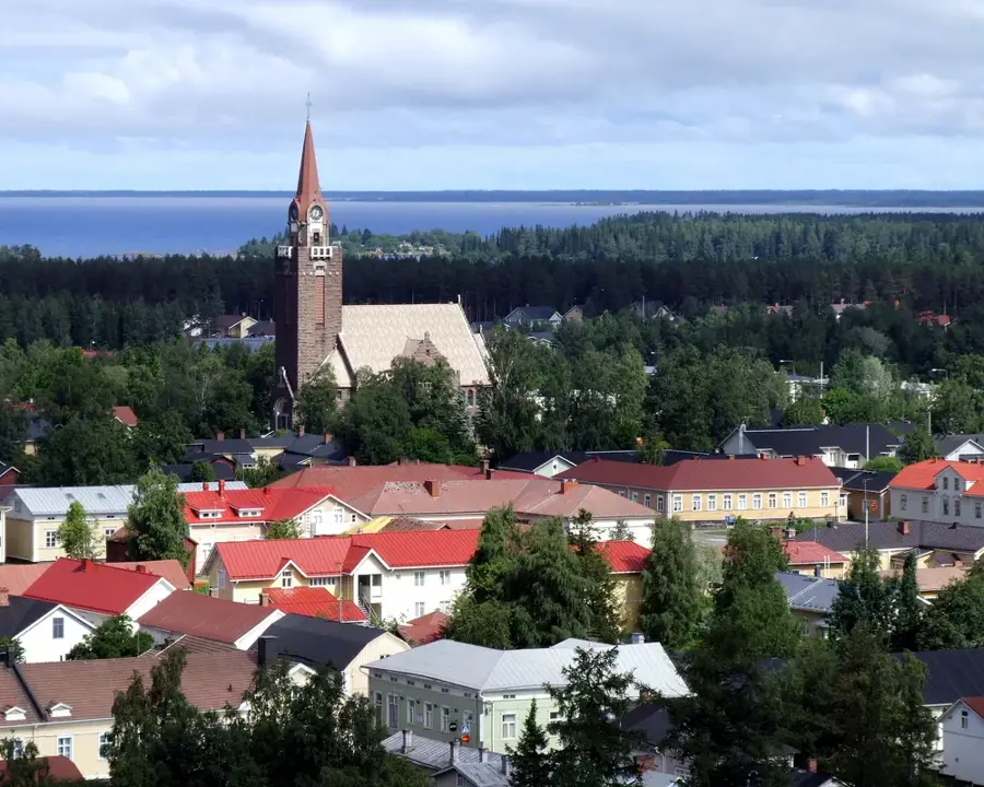
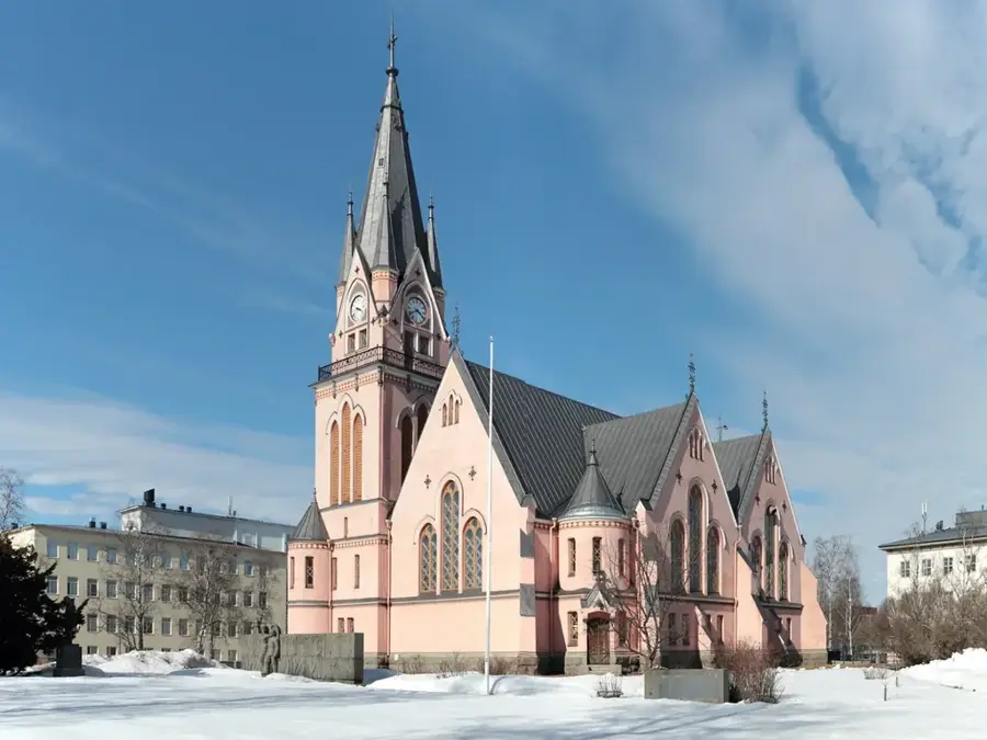
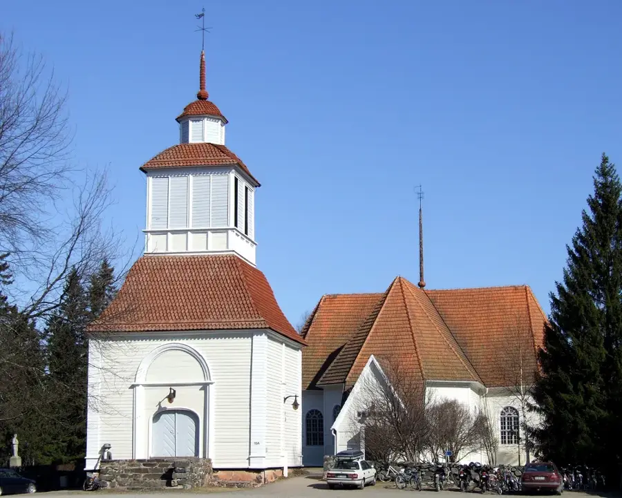
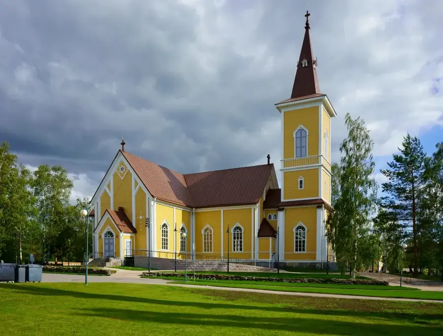
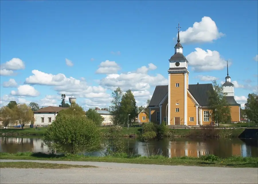
Sights in the town Pyhätunturi (5)
Sights nearby
Frequently asked questions
What does Pyhätunturi mean?
Which hike is the most famous?
Is there skiing available?
How do you reach Pyhä?
Is the Isokuru trail open year-round?
Pyhätunturi: where is it located?
Pyhätunturi: what is there to see?
Pyhätunturi: when is the best time to visit?
Pyhätunturi: why is it worth visiting?

Nearby cities