Plizio Visual Lab
Salmivaara Hill
Weather…
Water temperature…
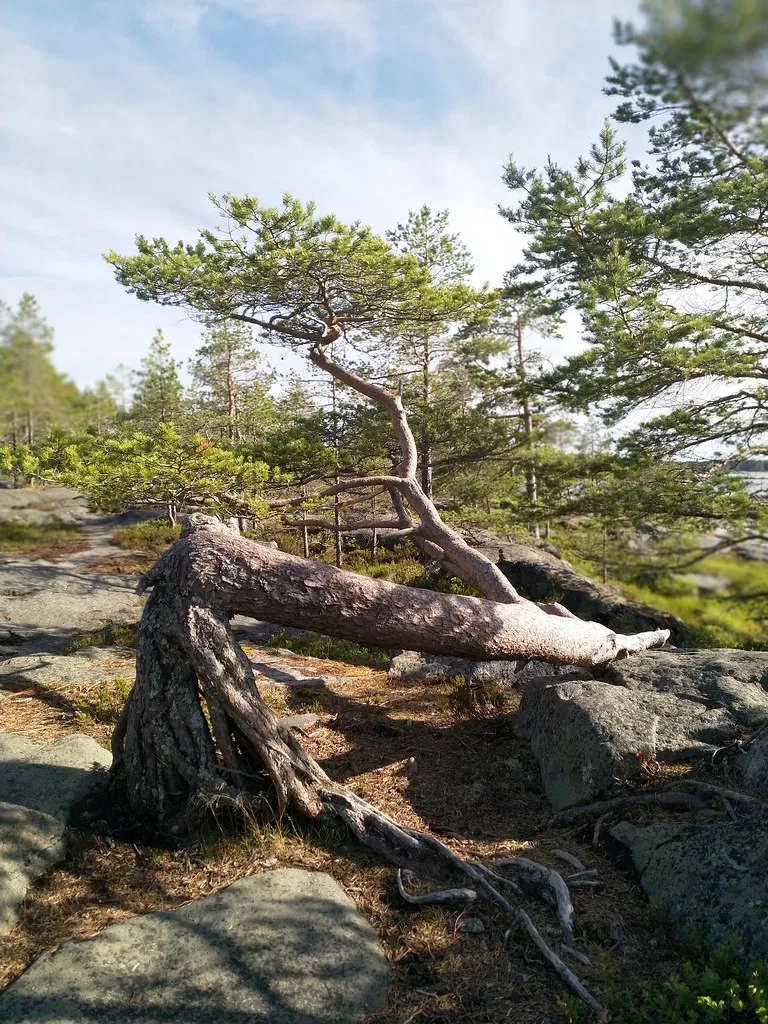
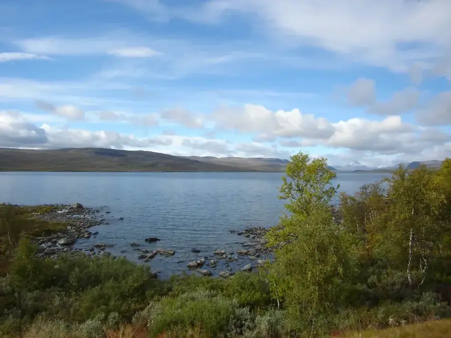
Salmivaara is a prominent hill in the far northwest of Finland, located near the village of Kilpisjärvi in the Enontekiö municipality. It rises directly from the shores of Lake Kilpisjärvi and features an exceptional vantage point over the 'Three-Country Cairn' where Finland, Sweden, and Norway meet. Geologically, Salmivaara is closely linked to the Scandinavian Mountains (Scandes) and consists of rock layers thrust upward during the Caledonian orogeny. The slopes are clad in arctic birch forests, which turn a lively yellow during the autumn 'ruska' season. Due to its location at the foot of the mighty Saana fell, Salmivaara is a popular destination for shorter hikes and provides excellent photographic opportunities of the surrounding high-altitude landscape. Historically, the hill served as an important observation post during the final stages of the Lapland War in 1945.
- Location: Finland
- Nearby: Luosto (30 km)
Best time to visit & climate
The most pleasant time to visit is Jun–Aug.
| Jan | Feb | Mar | Apr | May | Jun | Jul | Aug | Sep | Oct | Nov | Dec | |
|---|---|---|---|---|---|---|---|---|---|---|---|---|
| Avg °C | -13 | -13 | -8 | -3 | 5 | 11 | 15 | 12 | 7 | 0 | -7 | -11 |
| Rain mm | 43 | 35 | 38 | 45 | 75 | 83 | 111 | 96 | 82 | 61 | 54 | 50 |
📋 Practical info
Geography
Facts
- Located near Kilpisjärvi in Enontekiö
- Overlooks the border of Finland, Sweden, and Norway
- Part of the Caledonian mountain range
- Situated at the foot of the famous Saana fell
- Used as an observation post in 1945
- Popular spot for observing the autumn foliage
Explore nearby
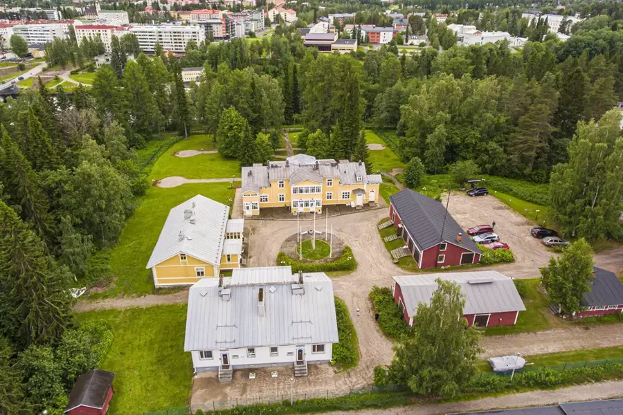
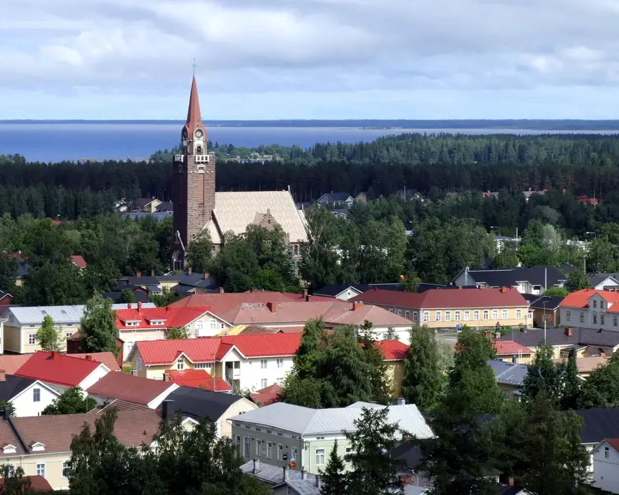
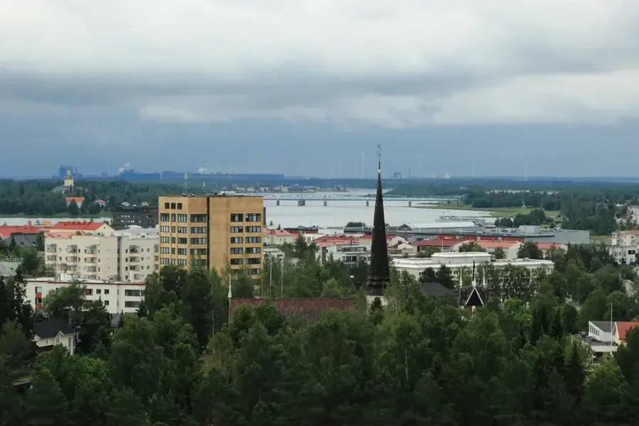
Notable places around
Route planner — Car & Motorhome
Where do you start? We build the route here, with stops and country notes along the way.
© OpenStreetMap contributors · OpenRouteService
Sights nearby
Frequently asked questions
How long is the hiking trail to the summit?
Is there an observation tower?
Is the trail accessible in winter?
Is there a designated campfire spot?
How difficult is the ascent?
Salmivaara Hill: where is it located?
Salmivaara Hill: when is the best time to visit?
Salmivaara Hill: why is it worth visiting?

Nearby cities