Plizio Visual Lab
Paistunturi Fells

Weather…
Water temperature…
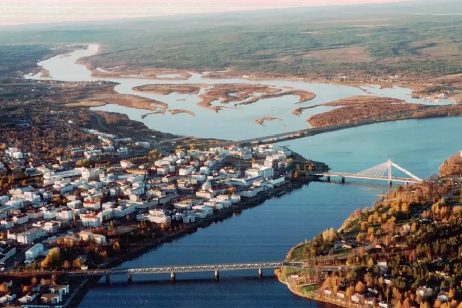
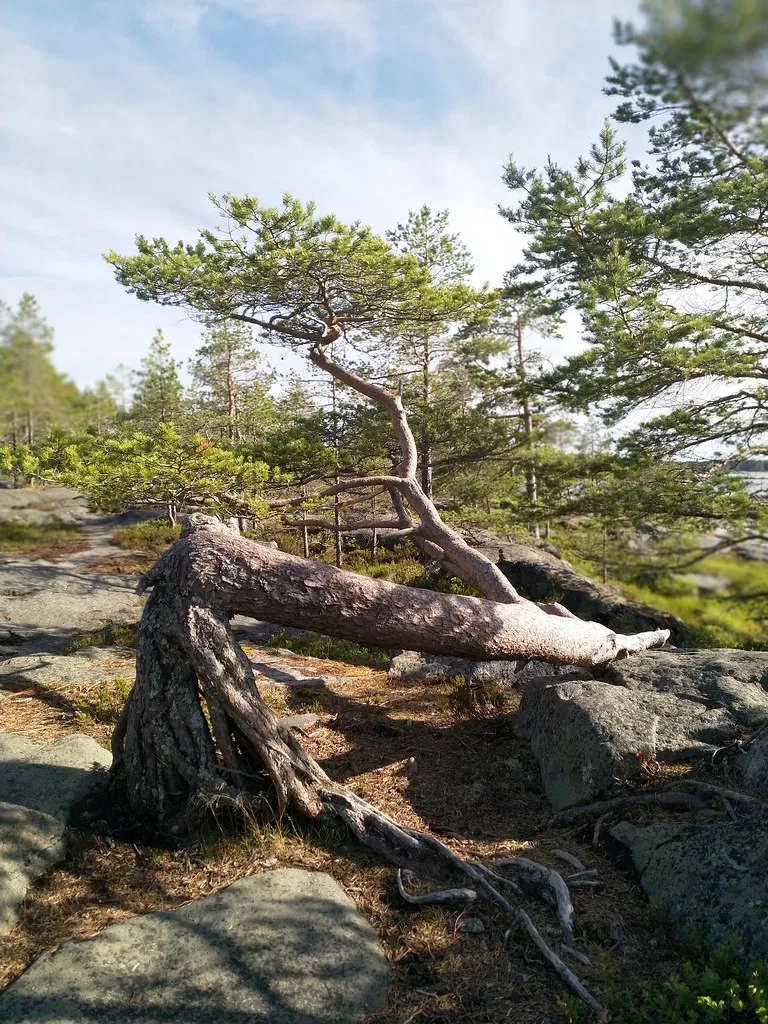
The Paistunturi Fells are located in the far north of Finland in the municipality of Utsjoki, forming one of Lapland's largest and most pristine wilderness areas. This expansive tundra landscape is characterized by gently rolling peaks and deep river valleys shaped during the last Ice Age. The highest point in the range is Guivi, standing at an elevation of 641 meters, which gives sweeping views over the Arctic region. Historically, the area has been a central grazing ground for Sami reindeer husbandry, which remains the cultural and economic foundation of the region today. The flora consists mainly of dwarf birch, mosses, and lichens that can withstand extreme winter conditions. Due to its remote location without paved roads, the Paistunturi area serves as a sanctuary for endangered animal species such as the Arctic fox and the golden plover.
- Location: Finland
- Nearby: Karigasniemi (28 km)
Best time to visit & climate
The most pleasant time to visit is Jun–Aug.
| Jan | Feb | Mar | Apr | May | Jun | Jul | Aug | Sep | Oct | Nov | Dec | |
|---|---|---|---|---|---|---|---|---|---|---|---|---|
| Avg °C | -12 | -12 | -8 | -3 | 3 | 9 | 13 | 10 | 5 | -1 | -8 | -10 |
| Rain mm | 40 | 35 | 35 | 42 | 76 | 101 | 117 | 102 | 67 | 56 | 45 | 45 |
📋 Practical info
Geography
Facts
- The Paistunturi Wilderness Area covers an area of approximately 1,570 square kilometers.
- Guivi Fell is the highest elevation in the area at 641 meters.
- The region experiences an Arctic climate with polar nights lasting about two months.
- There are no marked trails, requiring strong orientation skills for any hikers.
- The Kevo Canyon borders the Paistunturi area to the east.
- The territory is a crucial breeding ground for the rare Eurasian dotterel.
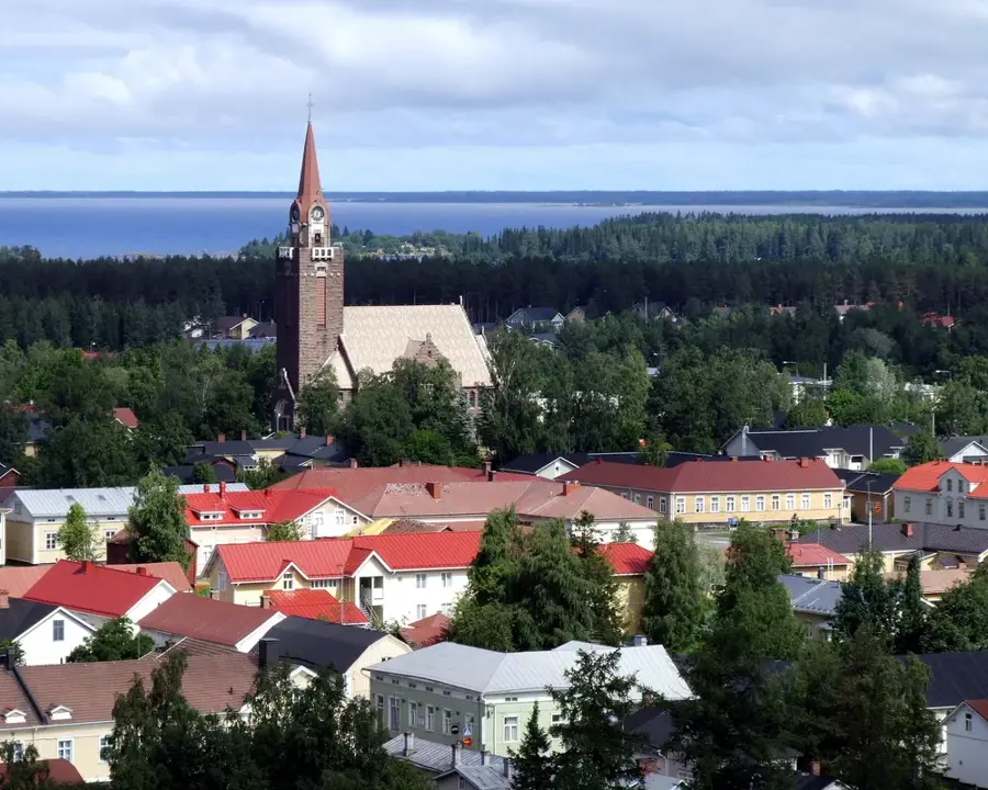
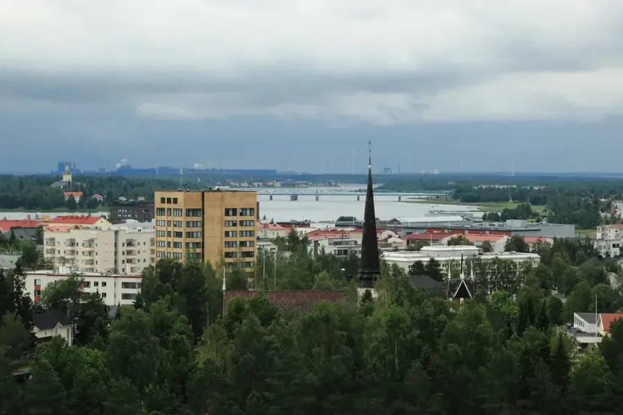
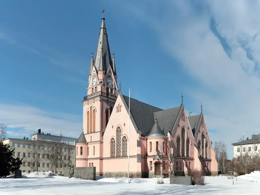
Explore nearby
Notable places around
Route planner — Car & Motorhome
Where do you start? We build the route here, with stops and country notes along the way.
© OpenStreetMap contributors · OpenRouteService
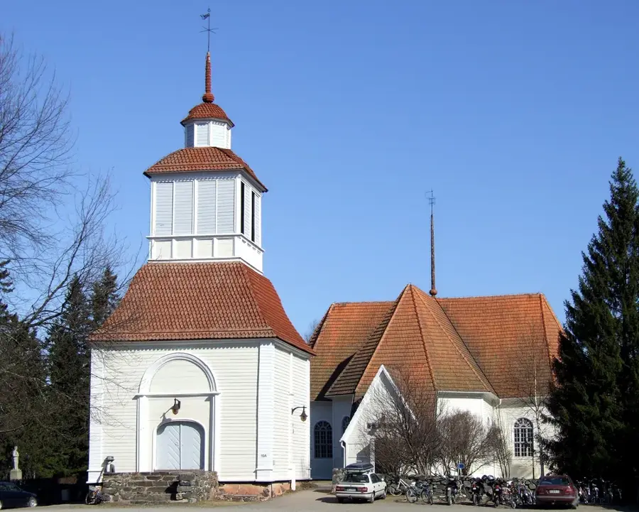
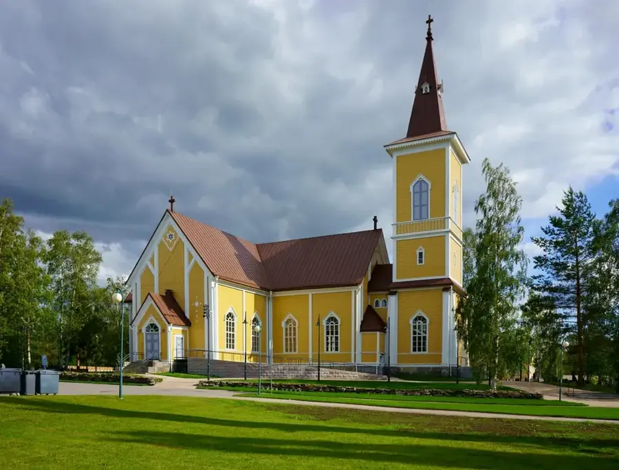
Sights nearby
Frequently asked questions
Is Paistunturi a national park?
Are there trails there?
Is camping allowed?
What is the terrain like?
When is the best time for hiking?
Paistunturi Fells: where is it located?
Paistunturi Fells: when is the best time to visit?
Paistunturi Fells: why is it worth visiting?

Nearby cities