Plizio Visual Lab
Tana Valley
Weather…
Water temperature…
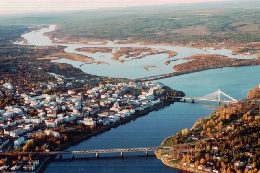
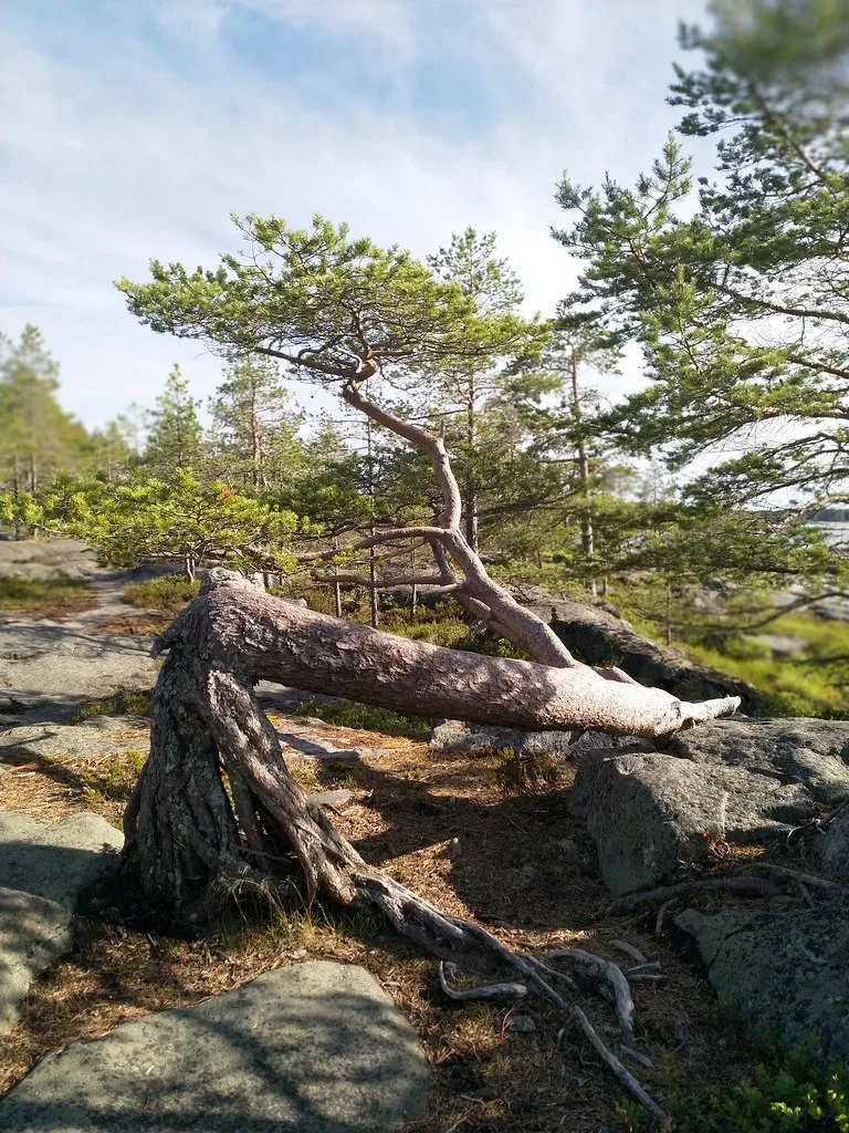
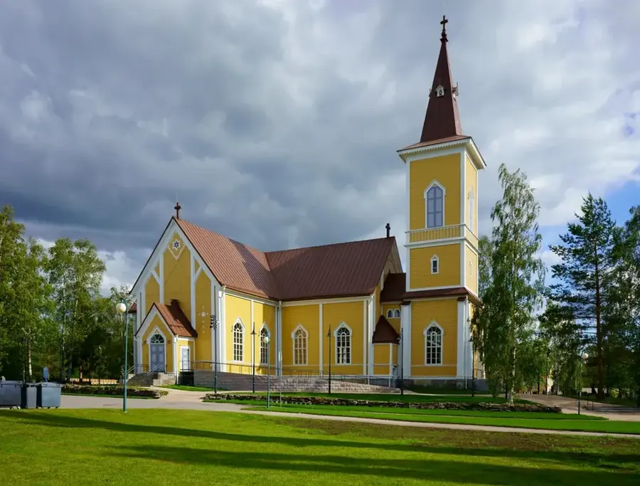
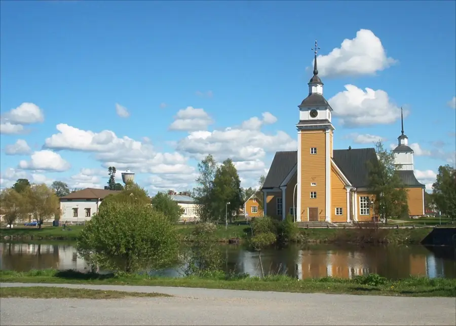
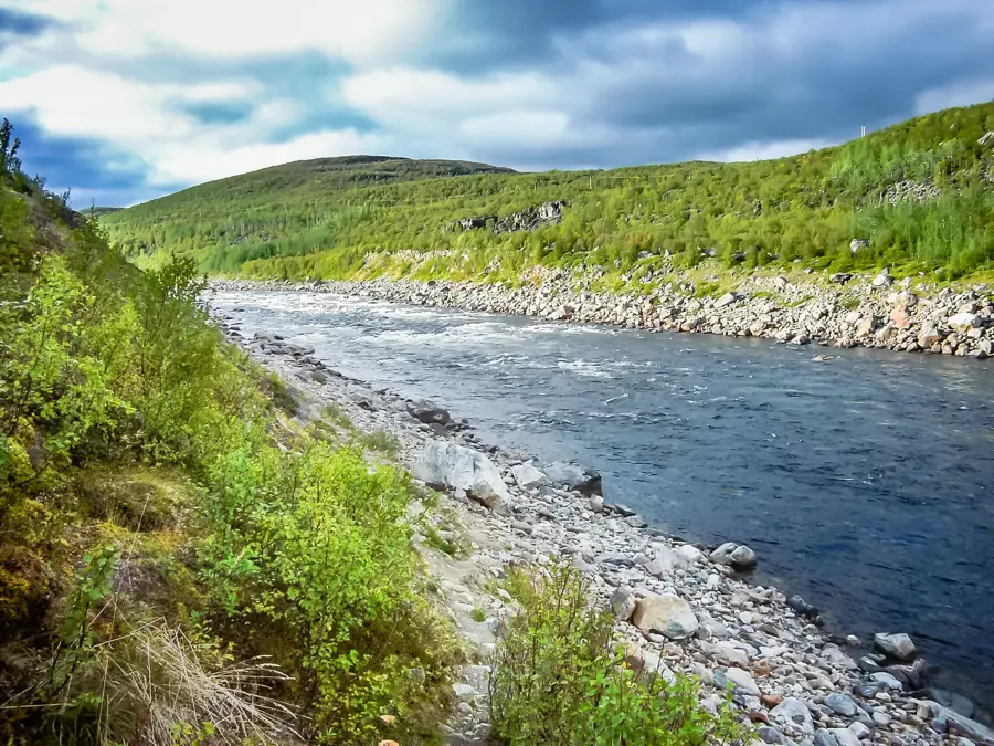
The Tana Valley (Tenojoki) stretches along the river of the same name in northern Lapland, forming the natural border between Finland and Norway. Spanning 361 kilometers, the Tana River is one of the world's most significant rivers for Atlantic salmon and plays a central role in the culture of the indigenous Sámi people. The valley is characterized by expansive floodplains, steep rocky slopes, and Arctic vegetation. Historically, the river served as the region's primary transport route before modern roads were established. Fishing in the Tana Valley is strictly regulated to preserve the salmon stocks, which are known to reach exceptional sizes in these waters. The landscape undergoes dramatic transformations between the midnight sun of summer and the polar night of winter. For visitors, the valley gives opportunities for fly fishing, river boating, and exploring traditional Sámi heritage in villages such as Utsjoki.
- Location: Finland
- Nearby: Karigasniemi (61 km)
Best time to visit & climate
The most pleasant time to visit is Jun–Aug.
| Jan | Feb | Mar | Apr | May | Jun | Jul | Aug | Sep | Oct | Nov | Dec | |
|---|---|---|---|---|---|---|---|---|---|---|---|---|
| Avg °C | -11 | -11 | -7 | -3 | 2 | 8 | 12 | 10 | 5 | -1 | -6 | -9 |
| Rain mm | 43 | 40 | 45 | 46 | 74 | 98 | 115 | 99 | 67 | 62 | 50 | 52 |
📋 Practical info
Geography
Facts
- River length: 361 kilometers
- Status: Border river between Finland and Norway
- Primary species: Atlantic salmon
- Significance: Most productive salmon river in Europe
- Local culture: Heart of the Sámi region
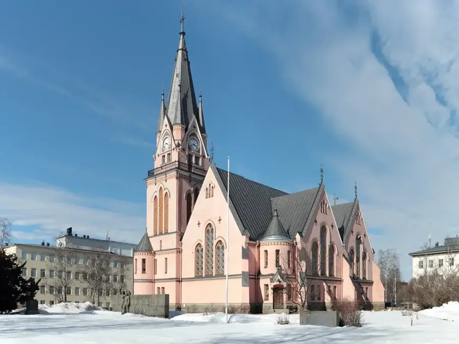
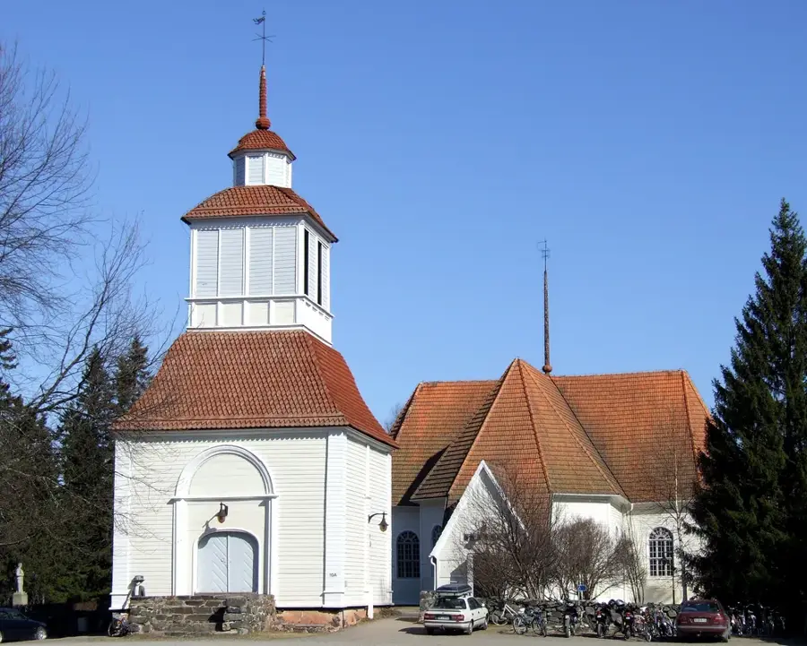
- Northernmost municipality: Utsjoki (Finland)
Explore nearby
Notable places around
Route planner — Car & Motorhome
Where do you start? We build the route here, with stops and country notes along the way.
© OpenStreetMap contributors · OpenRouteService
Sights nearby
Frequently asked questions
Can you fish in the Tenojoki river?
Where exactly is the valley located?
Is there a bridge to Norway?
Can you see Northern Lights there?
Is the road through the valley drivable?
Tana Valley: where is it located?
Tana Valley: when is the best time to visit?
Tana Valley: why is it worth visiting?

Nearby cities