Plizio Visual Lab
Muotkatunturi
Weather…
Water temperature…
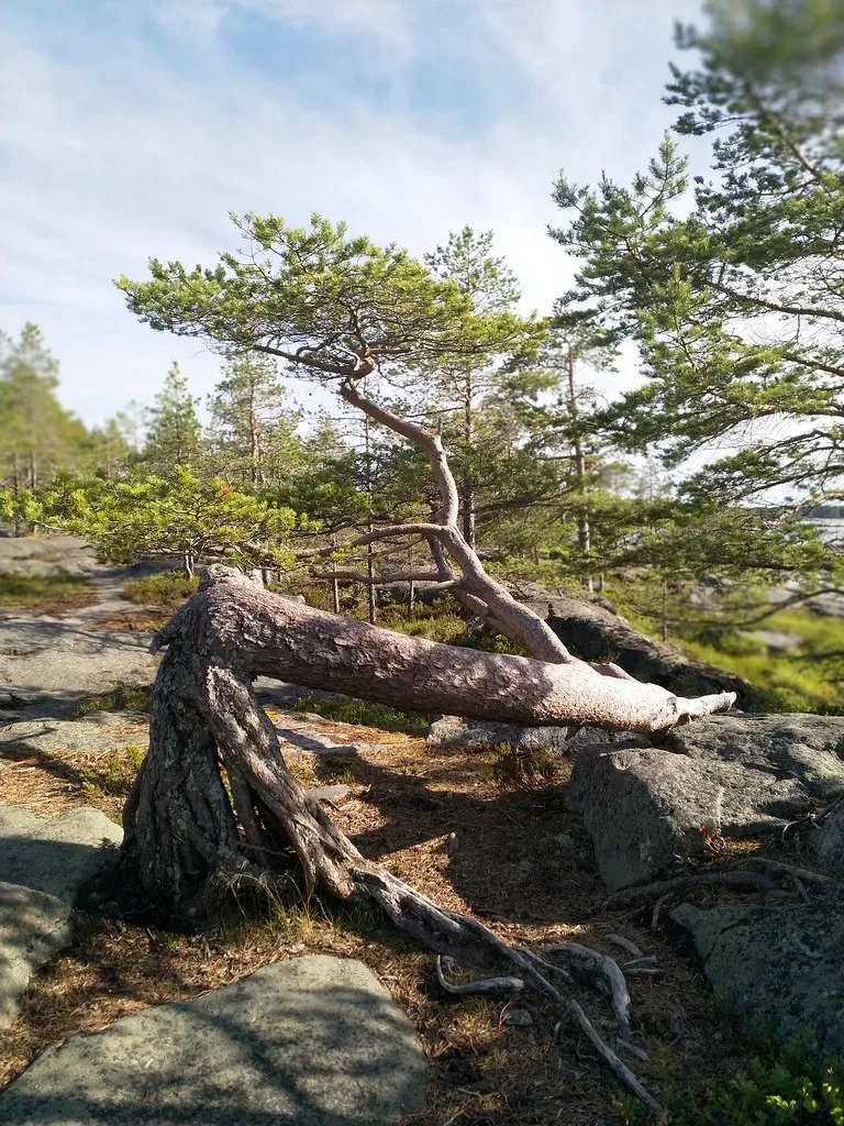
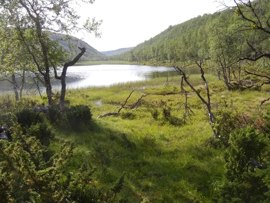
The Muotkatunturi Fells form an extensive, almost uninhabited mountain landscape in the northwestern part of the Inari municipality. This wilderness area is distinguished by the absence of any marked hiking trails, making it one of the most authentic places in Lapland. Its geography is characterized by rounded fell peaks, deep gorges, and numerous crystal-clear lakes left behind after the last glacial period. Historically, Muotkatunturi has been an important area for Sami reindeer husbandry, with herds utilizing the wide valleys for their seasonal migrations. The vegetation is typical of the fell tundra, featuring lichen carpets that serve as the primary food for reindeer, along with barren peatlands. Travelers find absolute silence here, interrupted only by the whistling of the wind or the call of the black-throated loon.
- Location: Finland
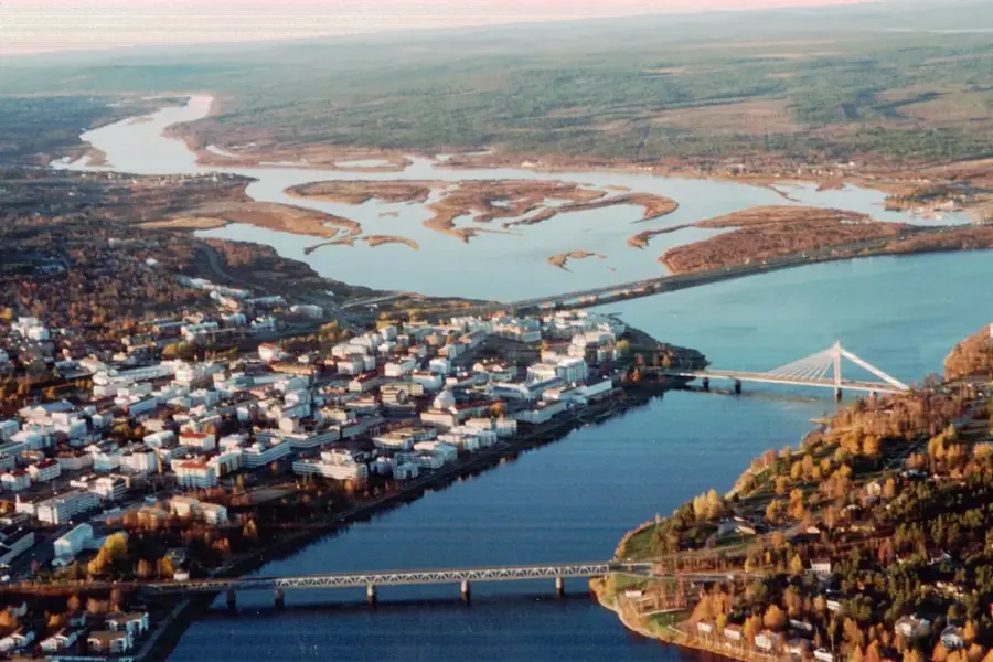
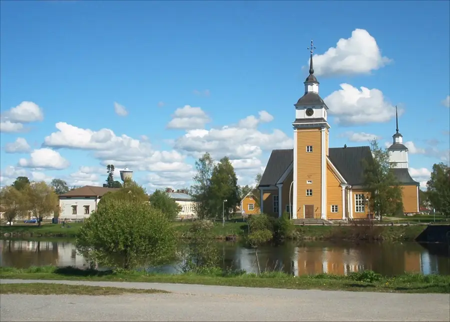
- Nearby: Karigasniemi (34 km)
Best time to visit & climate
The most pleasant time to visit is Jun–Aug.
| Jan | Feb | Mar | Apr | May | Jun | Jul | Aug | Sep | Oct | Nov | Dec | |
|---|---|---|---|---|---|---|---|---|---|---|---|---|
| Avg °C | -13 | -12 | -8 | -3 | 4 | 10 | 13 | 11 | 6 | -1 | -8 | -10 |
| Rain mm | 38 | 32 | 32 | 42 | 76 | 102 | 114 | 103 | 70 | 55 | 43 | 42 |
📋 Practical info
Geography
Facts
- The highest point of the area is Peltoaivi at 568 meters above sea level.
- The Muotkatunturi Wilderness Area covers an area of approximately 1,570 square kilometers.
- There are no roads or permanent human settlements within the region.
- The Muotkajoki River cuts through the massif and is known for its abundance of fish.
- The area borders the Lemmenjoki National Park to the west.
- The average temperature in January often drops below minus 20 degrees Celsius.
Explore nearby
Notable places around
Route planner — Car & Motorhome
Where do you start? We build the route here, with stops and country notes along the way.
© OpenStreetMap contributors · OpenRouteService
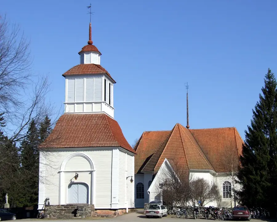
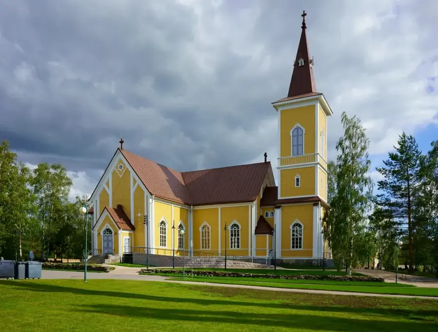
Sights nearby
Frequently asked questions
Are there marked trails in Muotkatunturi?
Can you camp anywhere?
How do you cross the rivers?
What animals live there?
Is the area safe in winter?
Muotkatunturi: where is it located?
Muotkatunturi: when is the best time to visit?
Muotkatunturi: why is it worth visiting?

Nearby cities