Plizio Visual Lab
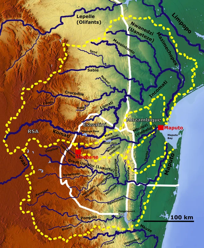
Emlembe
Weather…
Water temperature…
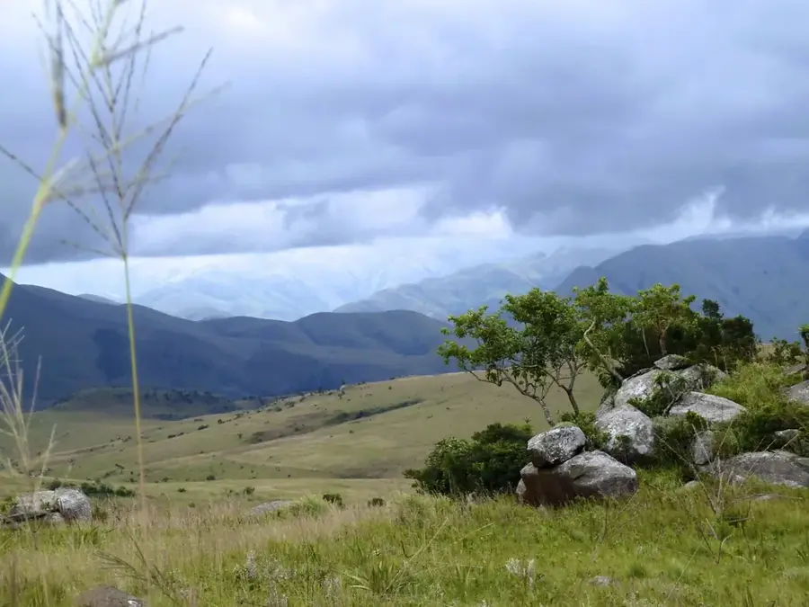
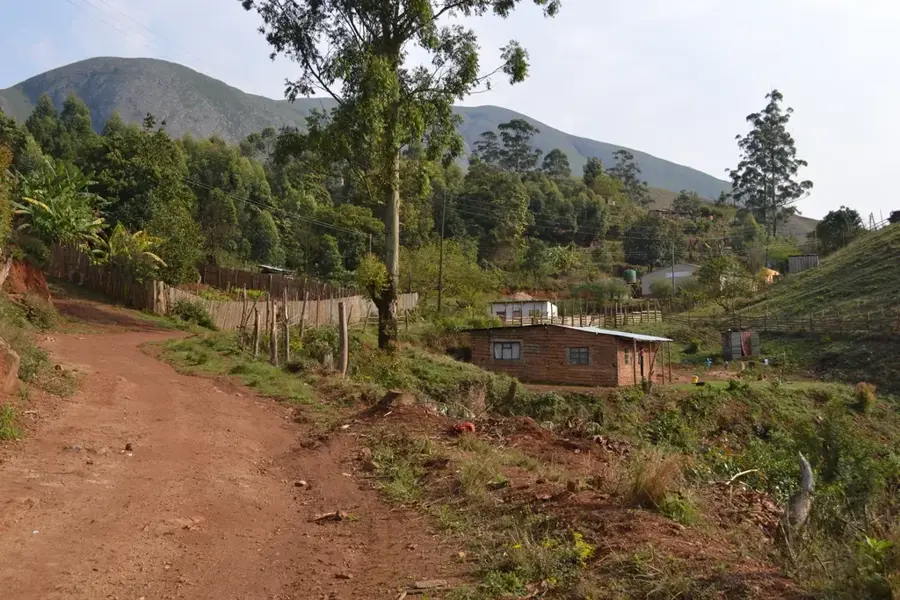
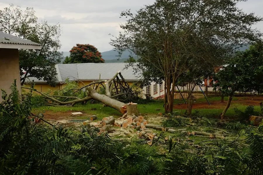
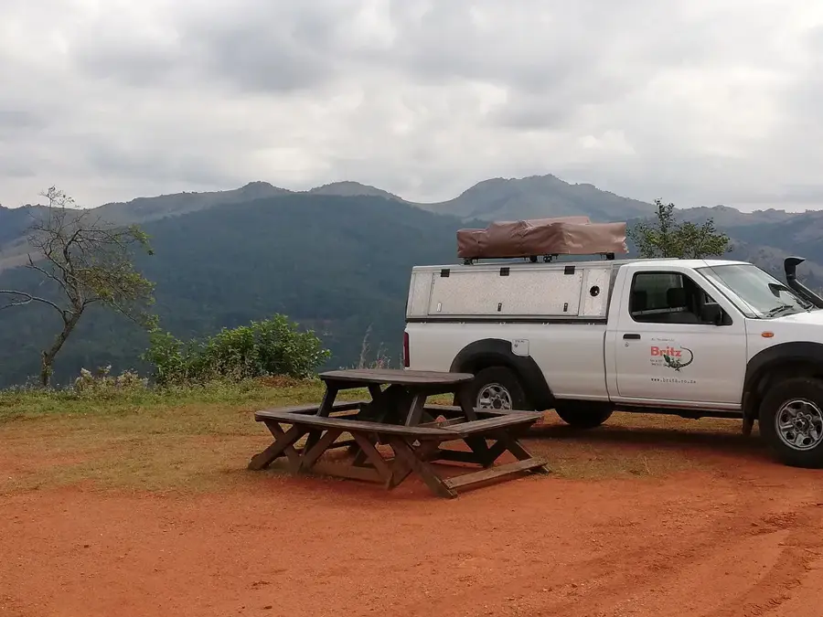
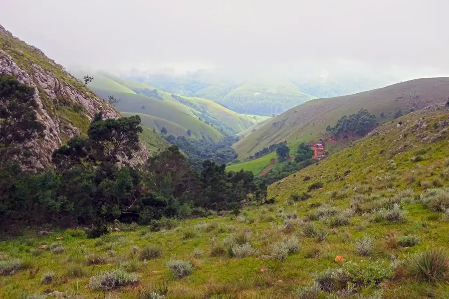
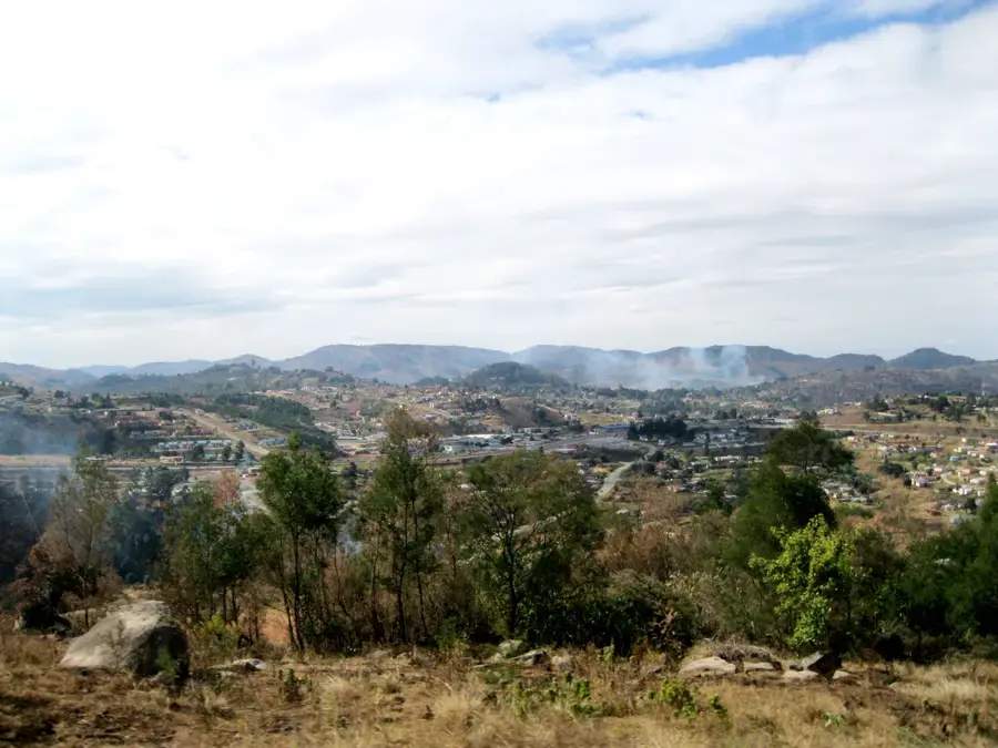
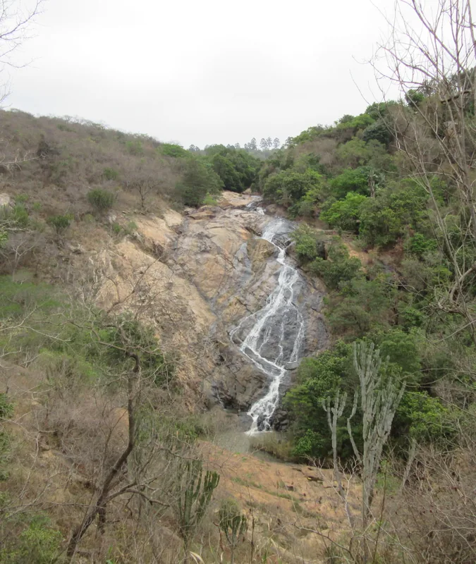
Emlembe is the highest mountain in Eswatini, reaching an elevation of 1,862 meters (6,109 feet) above sea level. Located in the northwestern corner of the country, it sits directly on the border with the Mpumalanga province of South Africa. The mountain is part of the Bulembu range, which is an extension of the vast Drakensberg escarpment system. Geologically, Emlembe is part of the Barberton Greenstone Belt, containing some of the oldest and best-preserved rock formations on Earth, dating back over 3 billion years. The flora on the mountain consists primarily of montane grasslands and rare alpine plants adapted to the cool, often windy climate of high altitudes. The summit is frequently shrouded in mist, providing spectacular views of the historic mining town of Bulembu located at its base. Although it is the highest point in the nation, the mountain remains a relatively quiet destination, convenient for hikers seeking solitude and natural beauty.
- Location: Eswatini
- Top sights: Ida Doyer Nature Reserve · Emlembe · Shokhohlwa
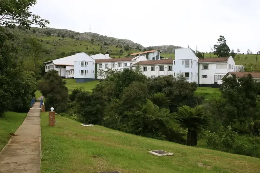
- Nearby: Piggs Peak (15 km)
Best time to visit & climate
The most pleasant time to visit is May, Sep, Oct.
| Jan | Feb | Mar | Apr | May | Jun | Jul | Aug | Sep | Oct | Nov | Dec | |
|---|---|---|---|---|---|---|---|---|---|---|---|---|
| Avg °C | 23 | 23 | 22 | 19 | 17 | 15 | 15 | 17 | 19 | 21 | 22 | 23 |
| Rain mm | 142 | 97 | 83 | 54 | 14 | 9 | 10 | 12 | 27 | 58 | 99 | 125 |
📋 Practical info
Geography
Facts
- Emlembe stands at 1,862 meters, making it Eswatini's highest point.
- The summit is shared with the Mpumalanga province of South Africa.
- It consists of ancient rocks from the Barberton Greenstone Belt.
- The historic town of Bulembu serves as the primary base for hikers.
- The mountain is part of the extensive Drakensberg mountain range.
- The area is known for unique montane grasslands and high-altitude flora.
Explore nearby
Notable places around
Route planner — Car & Motorhome
Where do you start? We build the route here, with stops and country notes along the way.
© OpenStreetMap contributors · OpenRouteService
Sights in the town Emlembe (3)
Sights nearby
Frequently asked questions
How difficult is climbing Emlembe?
What equipment is necessary?
What is the best time of year for a hike?
Do you need a guide?
Is there parking at the starting point?
Emlembe: where is it located?
Emlembe: what is there to see?
Emlembe: when is the best time to visit?
Emlembe: why is it worth visiting?

Nearby cities

History & landmarks


Nature
More places