Plizio Visual Lab
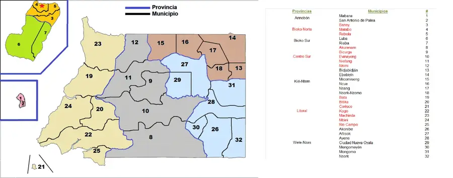
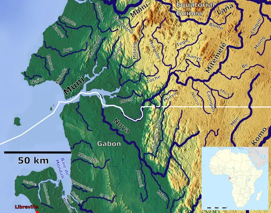
Río Muni Basin

Weather…
Water temperature…
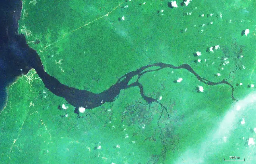
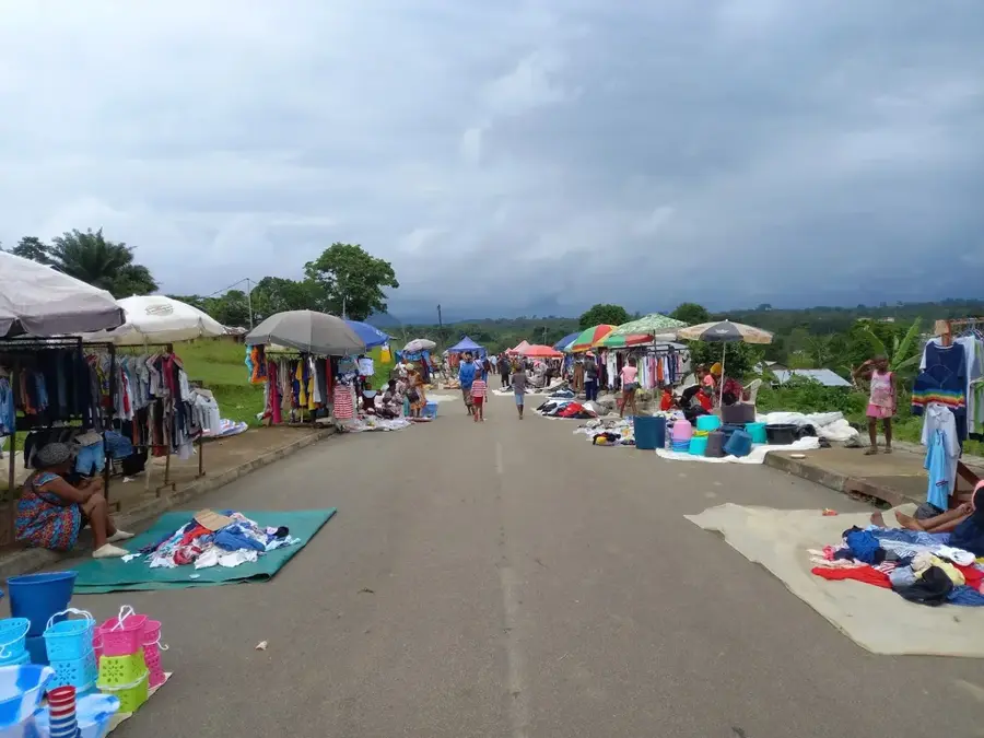
The Río Muni Basin is a vast sedimentary basin that characterizes much of the continental territory of Equatorial Guinea. Geologically, it consists of deep layers of sedimentary rocks that were deposited over millions of years, containing significant mineral and potential hydrocarbon resources. The basin's relief is relatively flat to gently rolling, providing the foundation for the dense rainforests that cover the region. It is drained by major river systems like the Benito and the Wele, which have carved wide valleys through the sedimentary landscape. The basin is essential for the nation's agriculture and its geological history is key to understanding the formation of the West African coastline. Curriculum: Earth Science K8, Geography K6.
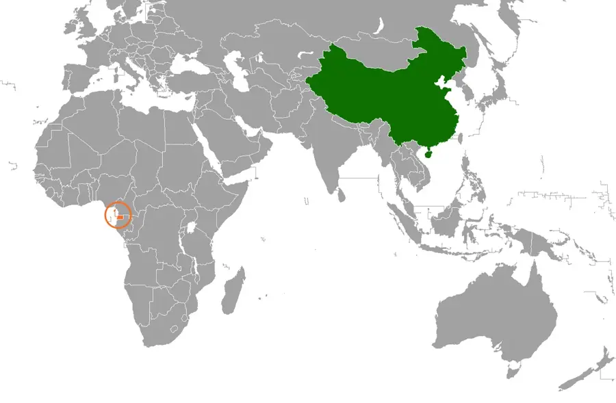
- Location: Equatorial Guinea
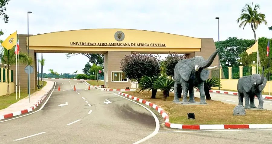
- Nearby: Nkimi (22 km)
Best time to visit & climate
The most pleasant time to visit is Jun–Aug.
| Jan | Feb | Mar | Apr | May | Jun | Jul | Aug | Sep | Oct | Nov | Dec | |
|---|---|---|---|---|---|---|---|---|---|---|---|---|
| Avg °C | 25 | 25 | 25 | 25 | 25 | 24 | 23 | 23 | 24 | 24 | 24 | 25 |
| Rain mm | 184 | 174 | 286 | 274 | 227 | 95 | 46 | 70 | 185 | 400 | 391 | 212 |
📋 Practical info
Geography
Facts
- A large sedimentary formation covering much of the mainland.
- Rich in geological deposits and potential mineral resources.
- Forms the topographical foundation of the Rio Muni rainforest.
- Drained by the extensive Benito and Wele river systems.
- Features a relatively flat to gently rolling landscape.
- Critical for the study of the region's geological evolution.
- Supports the primary agricultural and forestry activities of the nation.
Explore nearby
Notable places around
Route planner — Car & Motorhome
Where do you start? We build the route here, with stops and country notes along the way.
© OpenStreetMap contributors · OpenRouteService
Sights in the town Río Muni Basin (1)
Sights nearby
Frequently asked questions
What does the Río Muni Basin encompass?
Which rivers define the landscape?
Is the basin developed for tourism?
What raw materials are suspected to be here?
What is the vegetation like in the basin?
Río Muni Basin: where is it located?
Río Muni Basin: when is the best time to visit?
Río Muni Basin: why is it worth visiting?

Nearby cities

History & landmarks
Nature
More places