Plizio Visual Lab
Nkumekien
ℹ️Practical info — Nkumekien
▾
🌤 Weather — 5 days
📍 Nearby
Sights nearby
💡 Tips
- Due to the hilly terrain, comfortable walking shoes with good grip are a must.
- Mornings can be misty and cool; bring a light jacket when exploring early.
- There are no official taxis in the village; expect to walk or ask for a ride in a local truck.
- Internet coverage is very weak here, so download any needed offline maps beforehand.
🍽 Food
A rich palm nut soup often served with fish, available at local homes serving food.
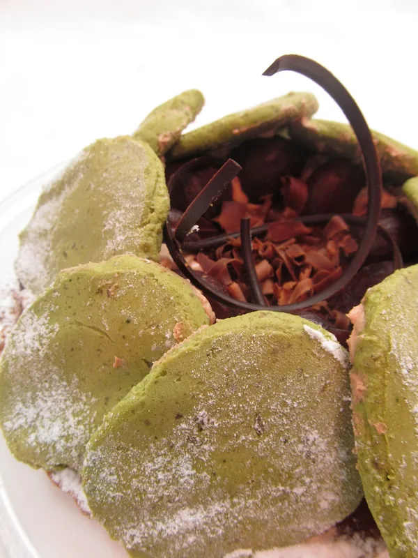
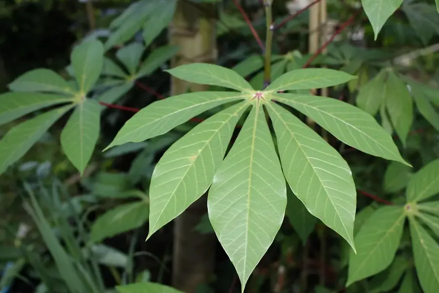
A dense, fulfilling bread made from cassava flour, great for hiking snacks.
Locals often forage sweet berries in the hills; you can buy them in small cups.
🛍 Shopping · 🧘 Quiet spots
Buy freshly harvested root vegetables from villagers directly from their gardens.
Look for traditional handmade sleeping or sitting mats sold by local women.
Hike up the nearby hills for a panoramic view of the dense rainforest.
Sit quietly near the tree line to listen to the sounds of Central African birdlife.
Water temperature…
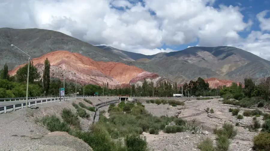
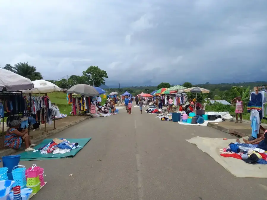
Nkumekien is a remote settlement in the heart of the Centro Sur province in Equatorial Guinea, deeply embedded in the equatorial forest ecosystem of Río Muni. The village represents typical rural life in the interior, where the geography is characterized by rolling hills and a dense network of small streams. Historically, Nkumekien served as a local trading post for forest products and as a connecting point between the larger towns of Evinayong and Akurenam. Due to the dense vegetation and distance from coastal centers, the community has maintained its traditional social structure and Fang culture with particular authenticity. The local economy is based almost entirely on subsistence farming, with cocoa, coffee, and various root crops grown for personal use and local markets. In recent years, the town has benefited moderately from state programs aimed at improving rural electrification and water supply, yet it remains a symbol of the developmental challenges faced in the isolated rainforest regions of Central Africa.
- Location: Equatorial Guinea
- Nearby: Bicurga (12 km)
Best time to visit & climate
The most pleasant time to visit is Jun–Aug.
| Jan | Feb | Mar | Apr | May | Jun | Jul | Aug | Sep | Oct | Nov | Dec | |
|---|---|---|---|---|---|---|---|---|---|---|---|---|
| Avg °C | 24 | 24 | 24 | 24 | 24 | 23 | 22 | 22 | 23 | 23 | 23 | 23 |
| Rain mm | 110 | 122 | 228 | 214 | 183 | 89 | 38 | 61 | 160 | 332 | 299 | 145 |
Geography
Facts
- Nkumekien is centrally located in the Centro Sur province of Río Muni.
- The settlement is surrounded by dense equatorial rainforest.
- The population belongs predominantly to the Fang ethnic group.
- Primary crops include cassava, plantains, and small amounts of cocoa.
- The region is characterized by a humid, tropical climate.
- Access is provided via unpaved or partially paved rural roads.
Explore nearby
Notable places around
Route planner — Car & Motorhome
Where do you start? We build the route here, with stops and country notes along the way.
© OpenStreetMap contributors · OpenRouteService
Frequently asked questions
Why should you visit Nkumekien?
Are there markets there?
How is it best to travel?
Is it safe?
Are there sights?
Nkumekien: where is it located?
Nkumekien: when is the best time to visit?
Nkumekien: why is it worth visiting?

Nearby cities

Nature

More places