Plizio Visual Lab
Bicurga

ℹ️Practical info — Bicurga
▾
🌤 Weather — 5 days
📍 Nearby
Sights nearby
💡 Tips
- Bicurga is very remote; travel requires a reliable 4x4 vehicle due to unpaved and muddy roads in the rainforest.
- Spanish is the official language, but Fang is widely spoken; learning a few basic phrases is helpful.
- Infrastructure is basic; bring all necessary supplies, including cash, water, and first-aid kits, from larger cities like Bata.
- Respect local customs and always ask the village chief for permission before exploring the surrounding rainforest.
🍽 Food
A rich peanut soup with chicken or fish, a hearty staple in local village homes.
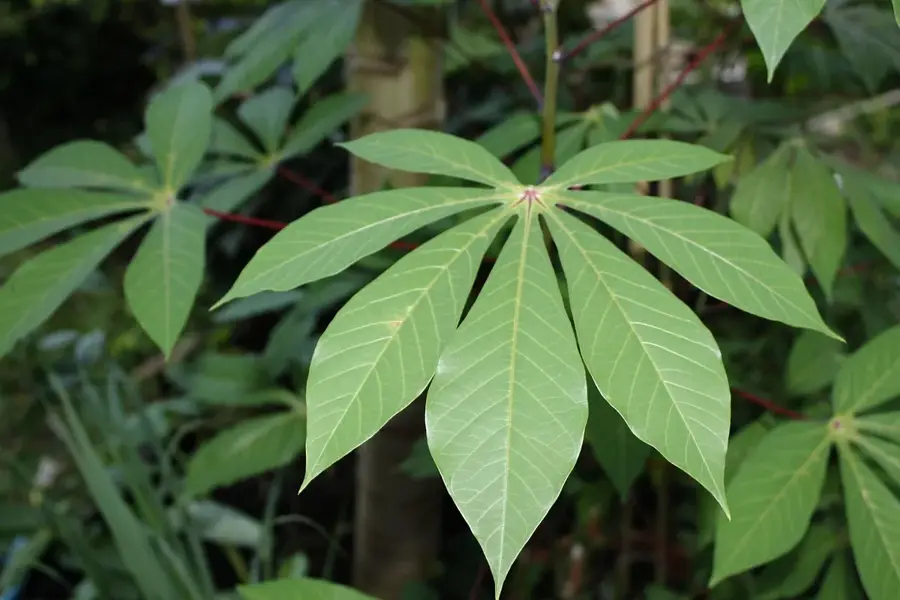
Boiled or fried root vegetables, often served alongside grilled bushmeat or river fish.
Freshly tapped palm wine is a traditional village beverage, often shared among locals in the evenings.
🛍 Shopping · 🧘 Quiet spots
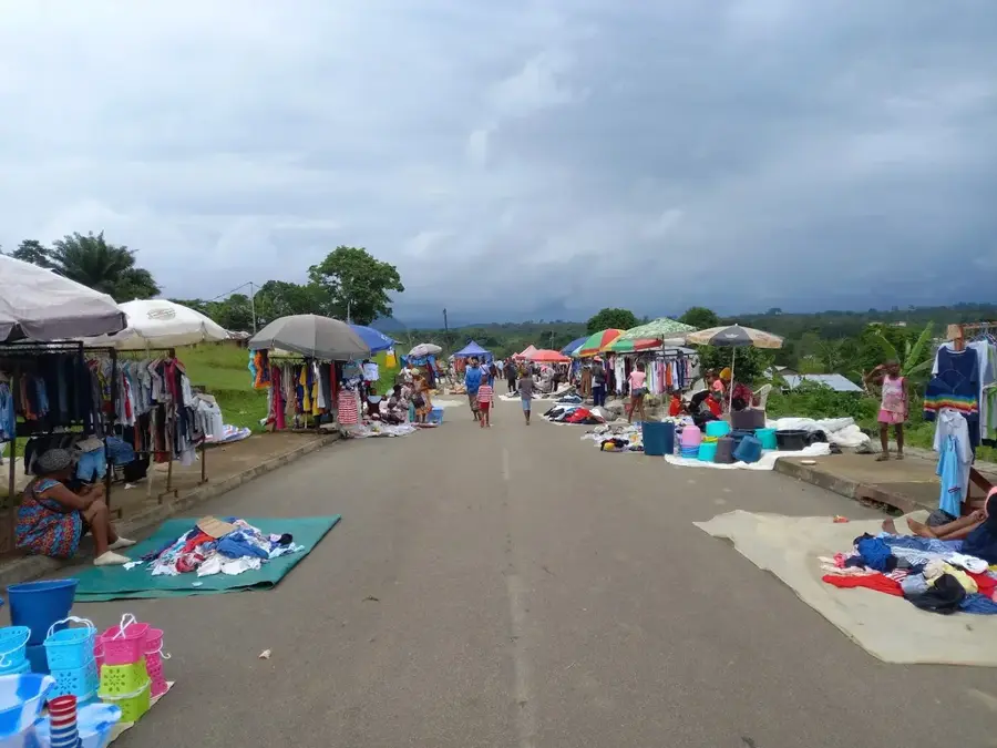
There are no formal markets; purchase fresh fruits like bananas and papayas directly from local farmers.
Occasionally, locals may sell simple carved wooden items or woven baskets from their homes.
The dense jungle surrounding the village provides an incredibly peaceful and biodiverse environment (guide essential).
Find a quiet spot along the local streams for a tranquil break amidst the sounds of nature.
Water temperature…
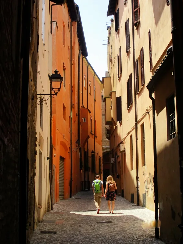
Bicurga is a rural settlement in the Centro Sur province of Equatorial Guinea, located near the town of Evinayong. The region is part of the central highlands of Rio Muni, noted for its dramatic topography and pristine natural environment. Bicurga is set in a valley surrounded by steep slopes and dense primary rainforests, giving the community a quiet and secluded atmosphere. The inhabitants rely primarily on farming, focusing on staple crops such as plantains, yams, and various tropical fruits. The equatorial climate provides abundant rainfall, ensuring a steady water supply through the numerous small streams in the vicinity. Historically, Bicurga served as a minor trading point for forest products and agricultural yields from the surrounding countryside. The settlement represents the typical way of life in the rural interior of the mainland, well removed from the modern developments found in the country's larger cities.
- Location: Equatorial Guinea
- Nearby: Nkumekien (12 km)
- Population: ~2.318 (2013)
Best time to visit & climate
The most pleasant time to visit is Jun–Aug.
| Jan | Feb | Mar | Apr | May | Jun | Jul | Aug | Sep | Oct | Nov | Dec | |
|---|---|---|---|---|---|---|---|---|---|---|---|---|
| Avg °C | 24 | 24 | 24 | 24 | 24 | 23 | 22 | 22 | 23 | 23 | 23 | 23 |
| Rain mm | 110 | 122 | 228 | 214 | 183 | 89 | 38 | 61 | 160 | 332 | 299 | 145 |
Geography
Facts
- Located in the heart of the Centro Sur province.
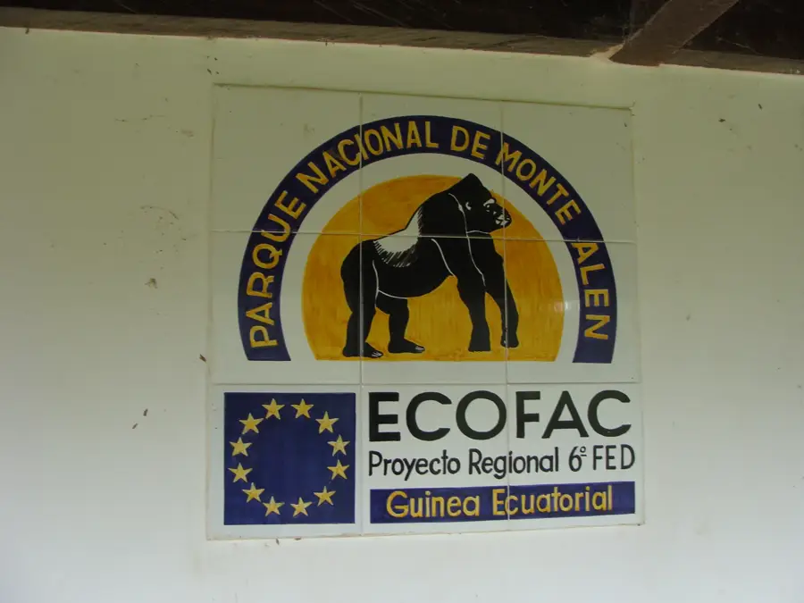
- Surrounded by the foothills of the Monte Alén National Park.
- A key location for harvesting wild honey and medicinal plants.
- Situated at an elevation of about 480 meters.
- Local architecture traditionally utilizes mud and palm fronds.
- Features fertile volcanic soils in the surrounding valleys.
Explore nearby
Notable places around
Route planner — Car & Motorhome
Where do you start? We build the route here, with stops and country notes along the way.
© OpenStreetMap contributors · OpenRouteService
Frequently asked questions
What can you do in Bicurga?
How is the weather in Bicurga?
Are there accommodations in Bicurga?
What language is spoken in Bicurga?
Is Bicurga safe for tourists?
Bicurga: where is it located?
Bicurga: when is the best time to visit?
Bicurga: why is it worth visiting?

Nearby cities

Nature
More places