Plizio Visual Lab
Acurenam
ℹ️Practical info — Acurenam
▾
🌤 Weather — 5 days
📍 Nearby
Sights nearby
💡 Tips
- Transport connections can be irregular; plan your onward journey in advance.
- French is sometimes understood here due to the proximity to Gabon.
- Take precautions against mosquitoes, especially at dawn and dusk.
- Electricity outages can occur, so keep your devices charged.
- It's best to dress modestly and respect local village traditions.
🍽 Food
A rich and hearty local soup, typically eaten with rice or plantains.
Often found in local stews, though stick to chicken or fish if unsure.
Fried or boiled, a staple side dish in almost every meal.
🛍 Shopping · 🧘 Quiet spots
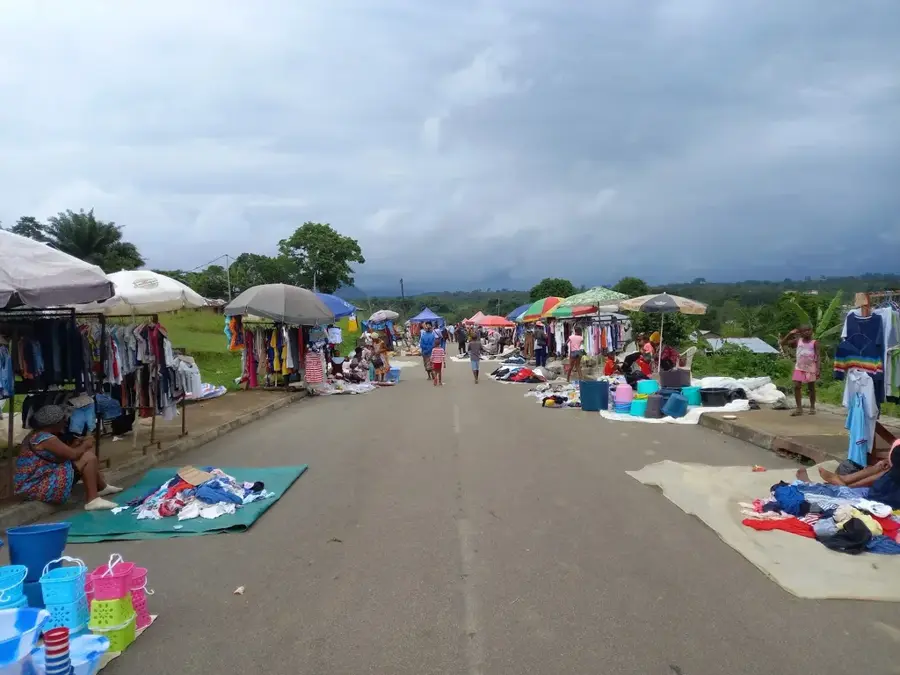
You can find a mix of goods from both Equatorial Guinea and Gabon.
Ask around for local artisans making simple wooden utensils.
Take a quiet stroll along the paths leading out of town towards the lush greenery.
A tranquil place to sit quietly, especially on weekdays.
Water temperature…
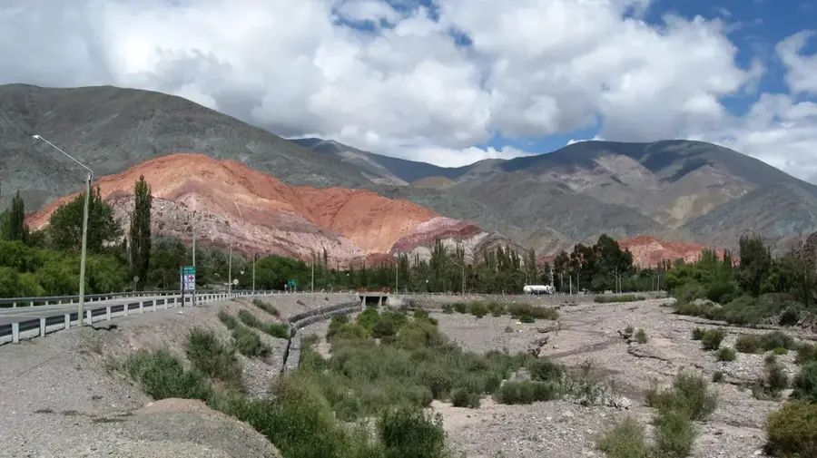
Acurenam is a remote small town in the Centro Sur province of Equatorial Guinea, situated south of the provincial capital, Evinayong. The town is positioned in a hilly, nearly mountainous area covered by dense equatorial rainforests. Due to its isolated location, Acurenam has maintained a very traditional character, with daily life heavily influenced by the rhythms of subsistence agriculture. The climate is characterized by high humidity and regular rainfall, making the region a handy location for growing root vegetables and tropical fruits. Historically, the town served as an administrative outpost during the colonial era; today, it functions as a local administrative center for the southern part of the province. Infrastructure is less developed compared to coastal regions, which can make access challenging during periods of heavy rain. Nevertheless, Acurenam remains a key meeting point for the scattered communities in the interior of Rio Muni.
- Location: Equatorial Guinea
- Nearby: Mbere (39 km)
- Population: ~2.736 (2013)
Best time to visit & climate
The most pleasant time to visit is Jun–Aug.
| Jan | Feb | Mar | Apr | May | Jun | Jul | Aug | Sep | Oct | Nov | Dec | |
|---|---|---|---|---|---|---|---|---|---|---|---|---|
| Avg °C | 24 | 24 | 24 | 24 | 24 | 23 | 22 | 22 | 23 | 23 | 23 | 23 |
| Rain mm | 128 | 133 | 238 | 216 | 185 | 82 | 34 | 57 | 162 | 344 | 322 | 165 |
Geography
Facts
- Located in the southern part of the Centro Sur province.
- Situated in one of the most densely forested zones of the country.
- A traditional stronghold of interior Fang culture.
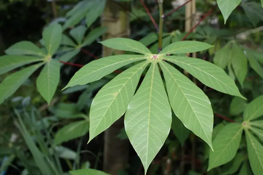
- Important center for local trade in cassava and tubers.
- Sits at an elevation of approximately 550 meters above sea level.
- Established as an administrative site during the Spanish colonial era.
Explore nearby
Notable places around
Route planner — Car & Motorhome
Where do you start? We build the route here, with stops and country notes along the way.
© OpenStreetMap contributors · OpenRouteService
Frequently asked questions
How many days should I plan for Acurenam?
When is the best time to visit Acurenam?
What is the best way to get to Acurenam?
Which local specialty should I try?
Is Acurenam a family-friendly destination?
Acurenam: where is it located?
Acurenam: when is the best time to visit?
Acurenam: why is it worth visiting?

Nearby cities

Nature

More places