Plizio Visual Lab
Muni River
Weather…
Water temperature…
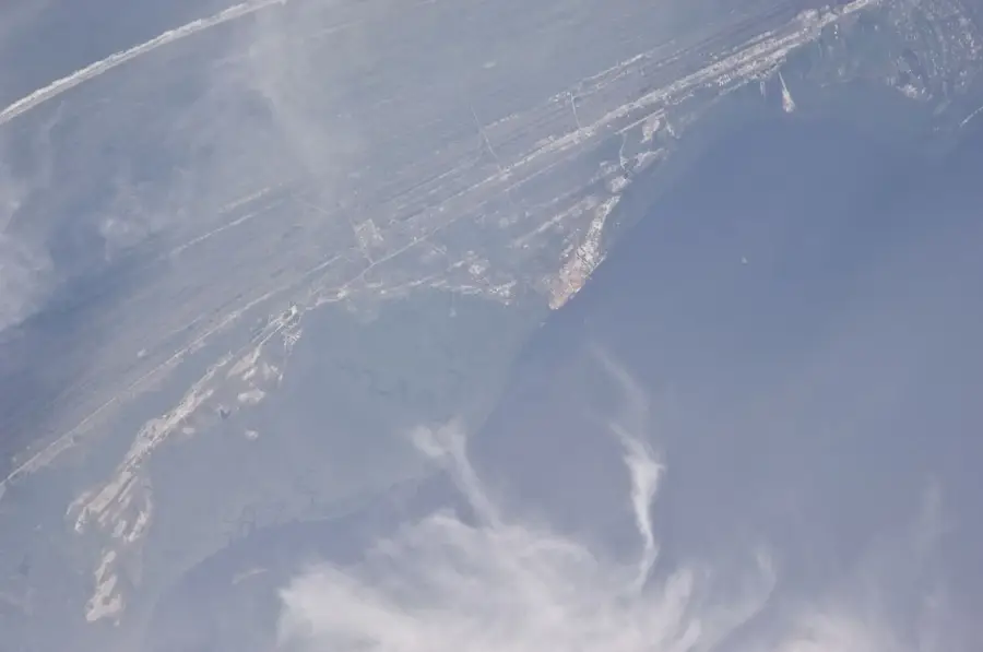
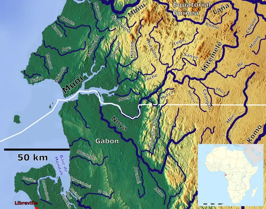
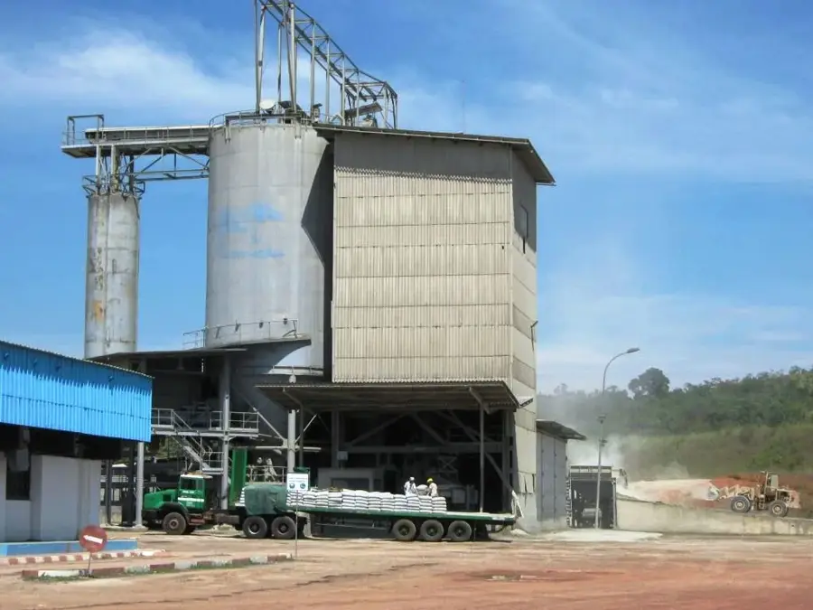
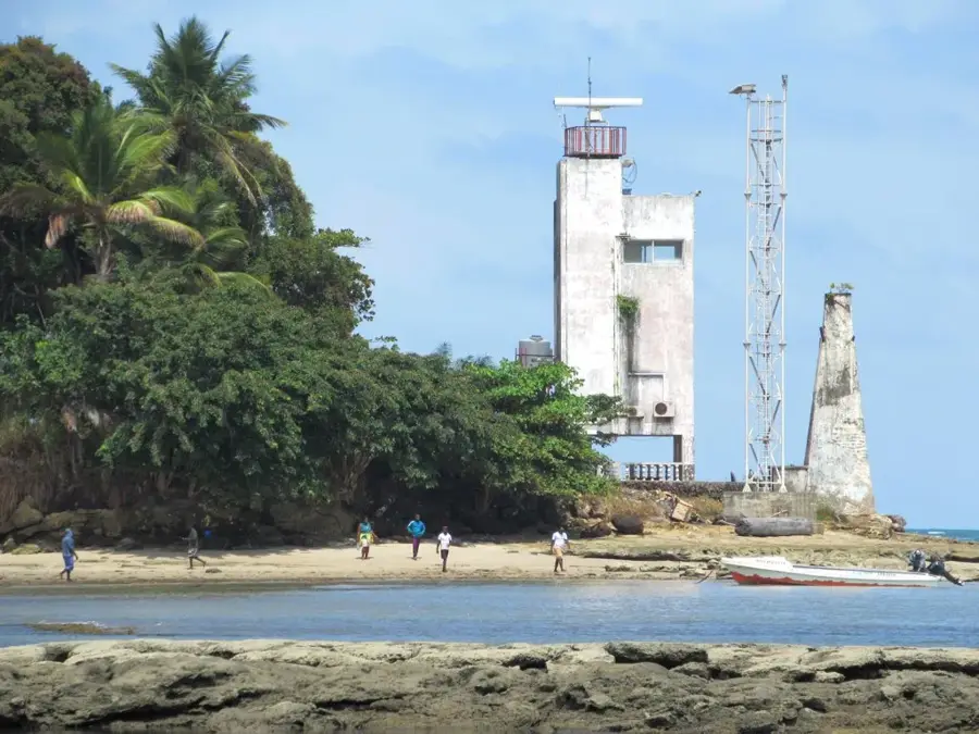
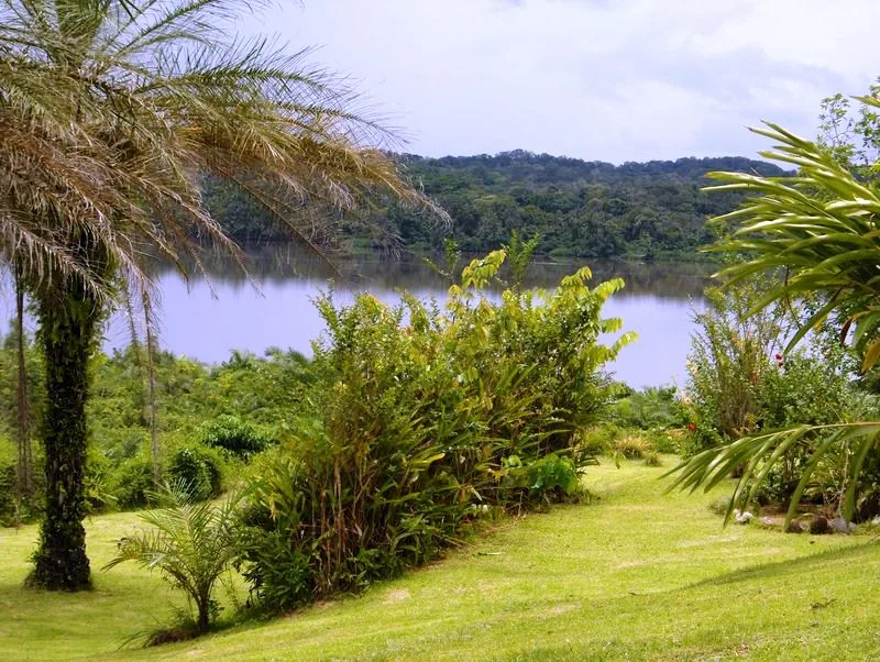
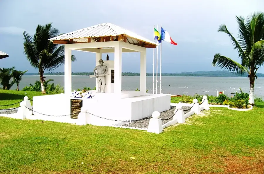
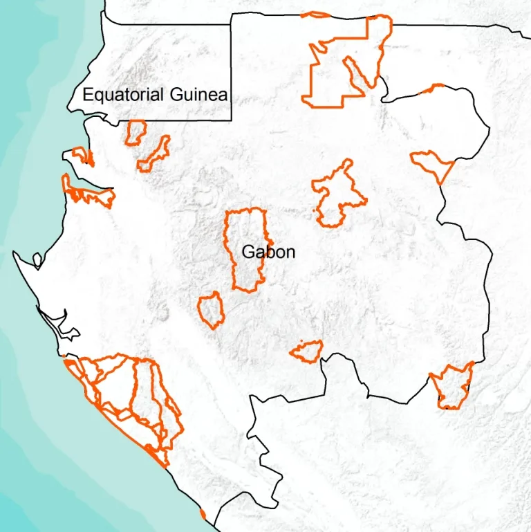
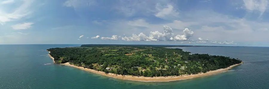
The Muni River, also known as Rio Muni, forms a natural border between northwestern Gabon and Equatorial Guinea. Geographically, it is less a single river and more an extensive estuary system into which several rivers such as the Utamboni and Mitong flow. This area is ecologically extremely valuable, comprising some of the largest mangrove areas in West Africa, which serve as a nursery for marine fish species. Historically, the region was the scene of colonial border disputes between France and Spain in the 19th and early 20th centuries. The Pongara National Park, established in 2002, protects parts of the southern coastal zones of the estuary. The dense swamp forests are a sanctuary for forest elephants and various rare waterbirds. For the local population, the Muni estuary is a vital fishing ground, though it is threatened by transboundary environmental issues and overfishing. Preserving this transboundary ecosystem requires close cooperation between both states.
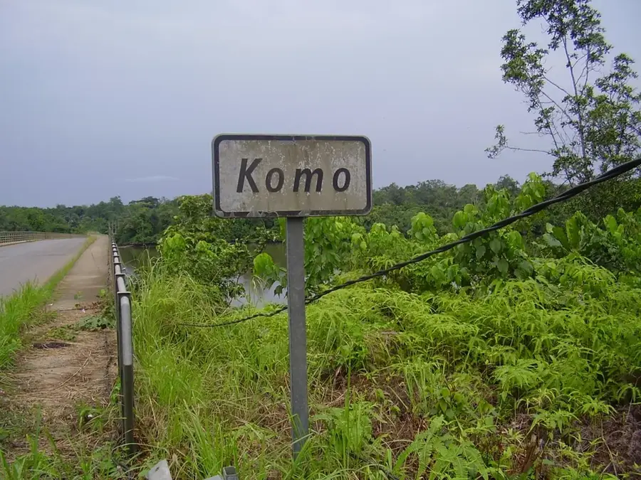
- Location: Gabon
- Nearby: Cocobeach (24 km)
Best time to visit & climate
The most pleasant time to visit is Jun–Aug.
| Jan | Feb | Mar | Apr | May | Jun | Jul | Aug | Sep | Oct | Nov | Dec | |
|---|---|---|---|---|---|---|---|---|---|---|---|---|
| Avg °C | 25 | 25 | 25 | 25 | 25 | 24 | 23 | 23 | 24 | 24 | 25 | 25 |
| Rain mm | 203 | 188 | 296 | 270 | 223 | 81 | 38 | 63 | 181 | 411 | 412 | 231 |
📋 Practical info
Geography
Facts
- Forms the international border between Gabon and Equatorial Guinea.
- The estuary system covers an area of over 1,000 square kilometers.
- It is a significant habitat for the West African manatee.
- The Rio Muni region is also the name of mainland Equatorial Guinea.
- Several tributaries such as the Utamboni flow into the system.
- Territorially defined historically by the Treaty of Paris in 1900.
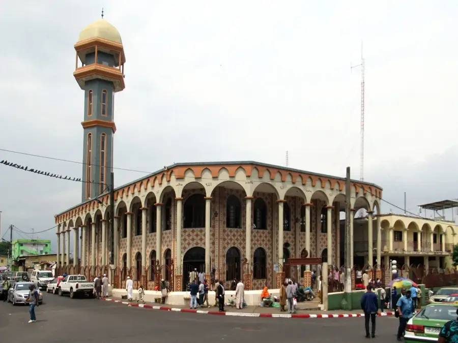
Explore nearby
Notable places around
Route planner — Car & Motorhome
Where do you start? We build the route here, with stops and country notes along the way.
© OpenStreetMap contributors · OpenRouteService
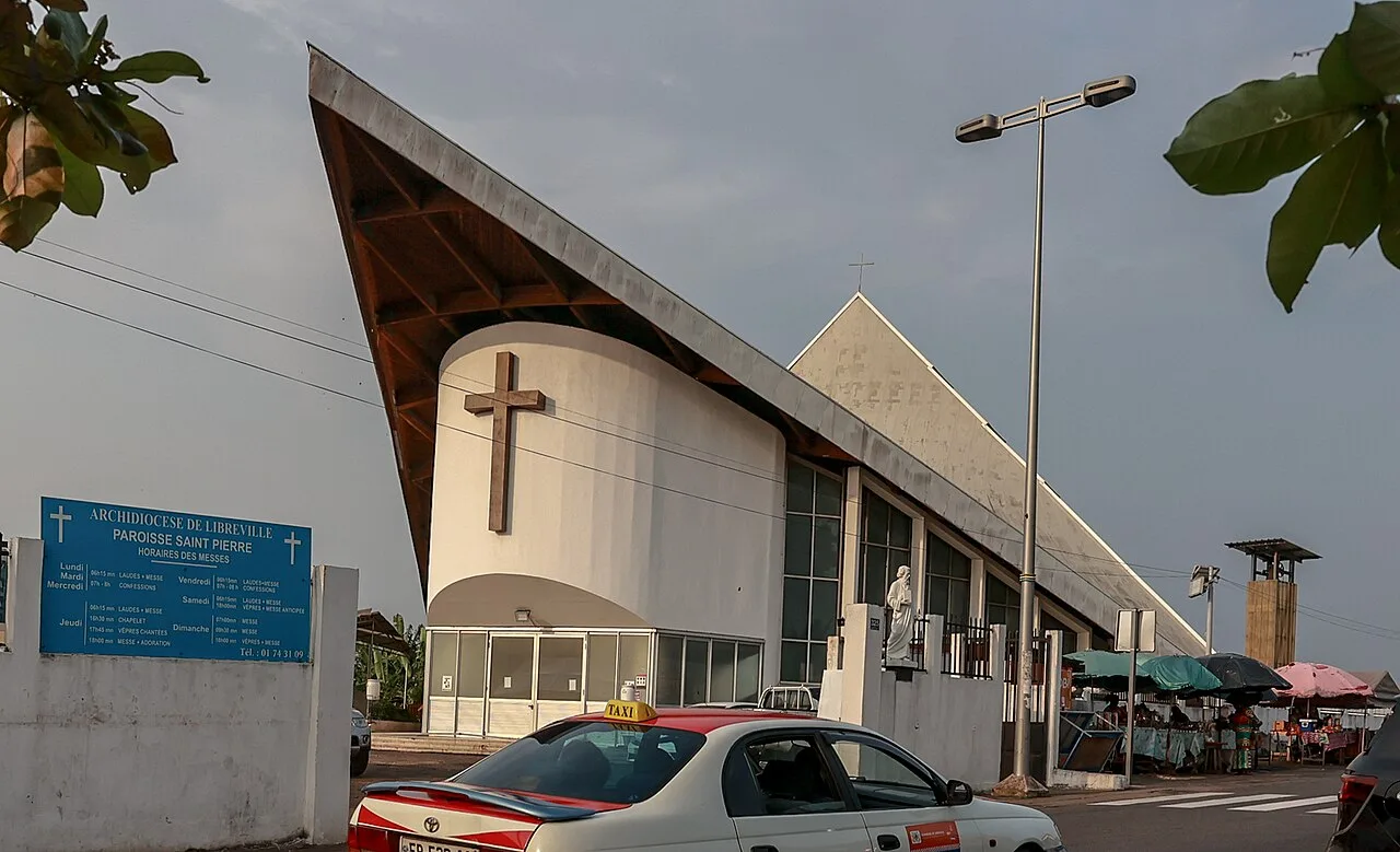
Sights in the town Muni River (1)
Sights nearby
Frequently asked questions
Where is the Muni River located?
Is the river navigable?
What ecosystems are found at the Muni?
Are there border stations along the river?
Can tourists visit the river?
Muni River: where is it located?
Muni River: when is the best time to visit?
Muni River: why is it worth visiting?

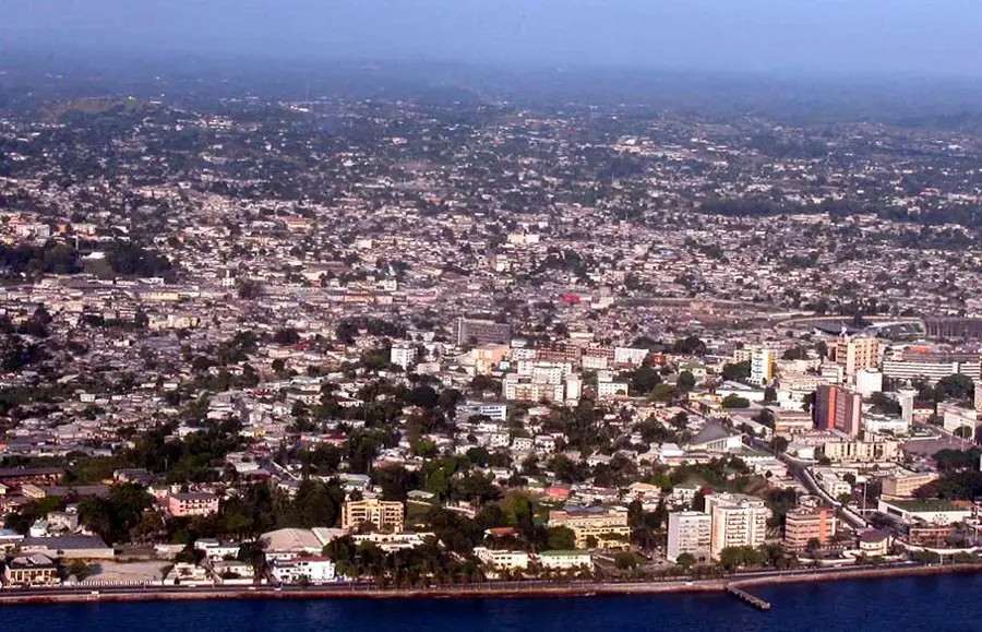
Nearby cities
History & landmarks


Nature
More places