Plizio Visual Lab
Rumiñahui Volcano
Weather…
Water temperature…
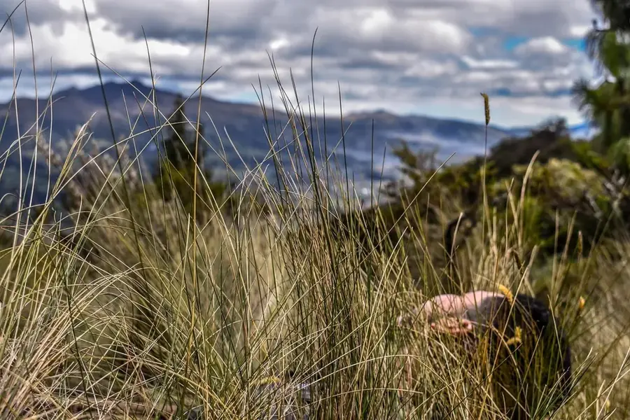
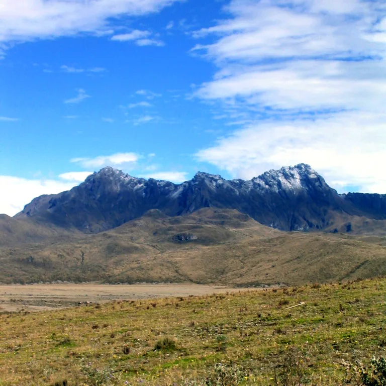
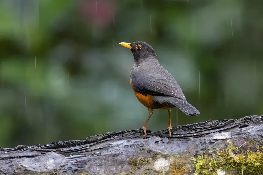
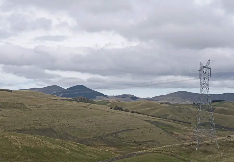
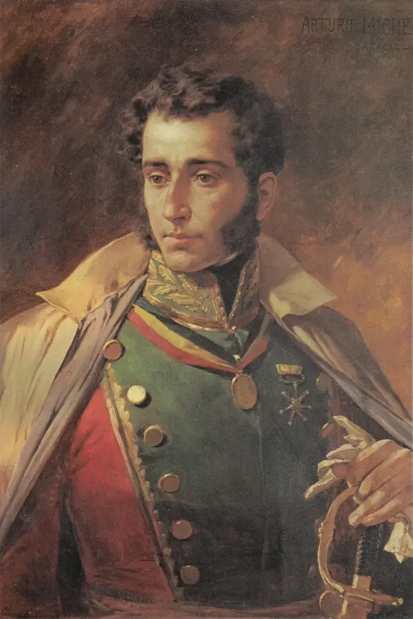
Rumiñahui is an imposing extinct volcano located in the heart of Cotopaxi National Park in Ecuador. Standing at an elevation of 4721 meters, it is situated just 13 kilometers northwest of the mighty Cotopaxi, providing a dramatic backdrop to the Limpiopungo Lagoon. The volcano is named after the famous Inca general Rumiñahui, which means 'Stone Face' in Quichua, reflecting the warrior's legendary steadfastness. Geologically, it is an ancient stratovolcano whose summit area is divided into three distinct peaks: North, Central, and South. The North peak is the highest and most technically demanding, characterized by steep rock faces and loose volcanic debris. Rumiñahui has shown no historical activity and has been heavily sculpted by erosion over thousands of years. The surrounding páramo landscape is rich in wildlife, such as Andean foxes, white-tailed deer, and various species of hummingbirds. Hikers and climbers value Rumiñahui as a premier viewpoint, as it has one of the best vantage points to observe the perfectly shaped cone of Cotopaxi and the vast Ecuadorian highlands.
- Location: Ecuador
- Top sights: Möglicher Übernachtungsplatz · La Base · Summit ridge
- Nearby: Sangolquí (8 km)
Best time to visit & climate
The most pleasant time to visit is Jul–Sep.
| Jan | Feb | Mar | Apr | May | Jun | Jul | Aug | Sep | Oct | Nov | Dec | |
|---|---|---|---|---|---|---|---|---|---|---|---|---|
| Avg °C | 14 | 14 | 14 | 15 | 15 | 14 | 14 | 14 | 14 | 14 | 14 | 14 |
| Rain mm | 132 | 142 | 169 | 168 | 117 | 63 | 43 | 33 | 41 | 80 | 92 | 100 |
📋 Practical info
Geography
Facts
- The highest point of Rumiñahui is the North peak (4721 m).
- The mountain sits directly across from the Limpiopungo Lagoon.
- Legend says General Rumiñahui hid the Inca treasure here.
- Climbing the North peak involves light rock scrambling.
- The volcano has been inactive for thousands of years.
- Rumiñahui is often used as a test for altitude acclimatization.
Explore nearby
Notable places around
Route planner — Car & Motorhome
Where do you start? We build the route here, with stops and country notes along the way.
© OpenStreetMap contributors · OpenRouteService
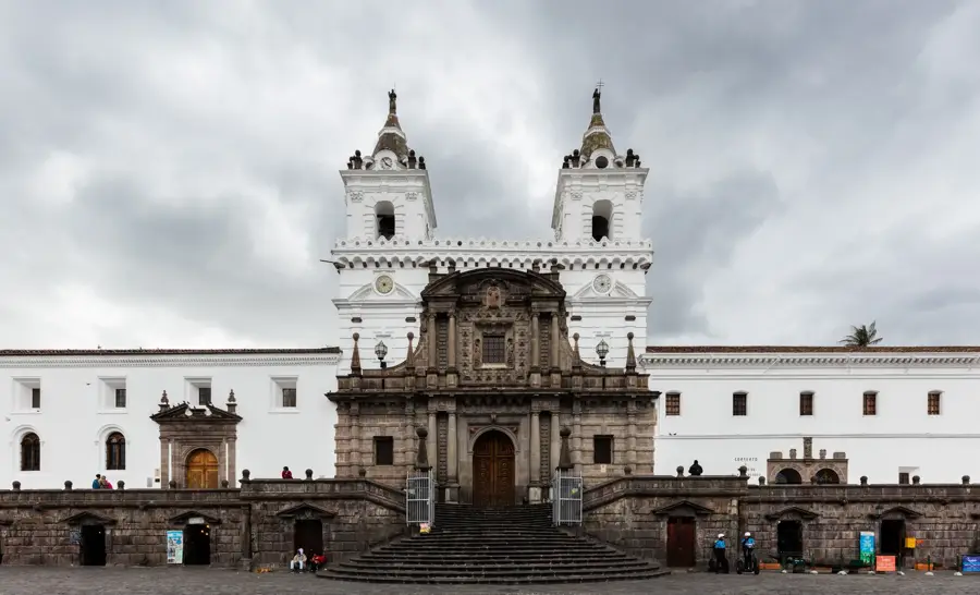
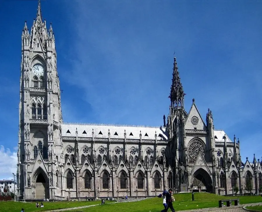
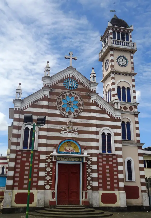
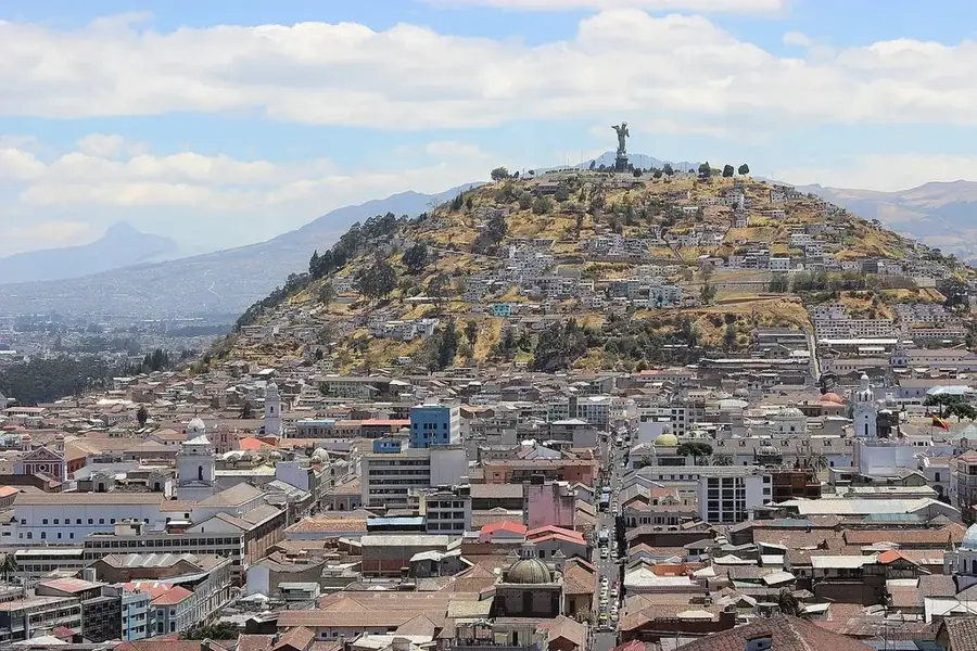
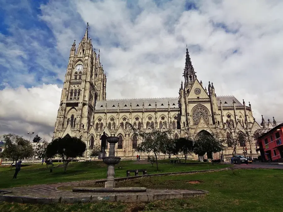
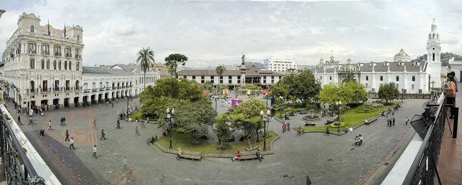
Sights in the town Rumiñahui Volcano (6)
Sights nearby
Frequently asked questions
Where is Rumiñahui located?
What is the height of Rumiñahui's highest peak?
Do you need a permit to climb it?
How is the view of Cotopaxi?
Is there snow there?
Rumiñahui Volcano: where is it located?
Rumiñahui Volcano: what is there to see?
Rumiñahui Volcano: when is the best time to visit?
Rumiñahui Volcano: why is it worth visiting?

Nearby cities


History & landmarks


More places