Plizio Visual Lab
Pasochoa
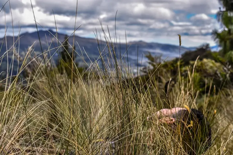
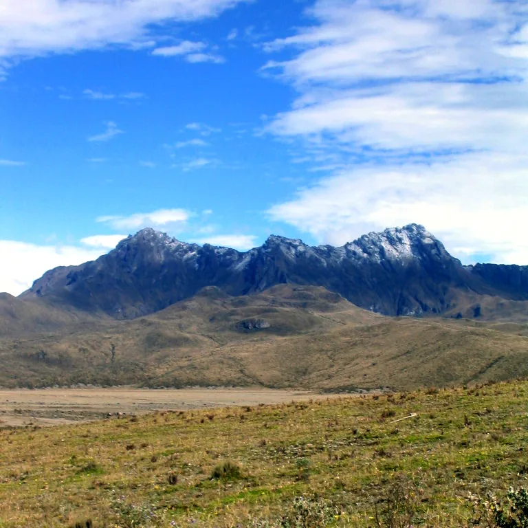
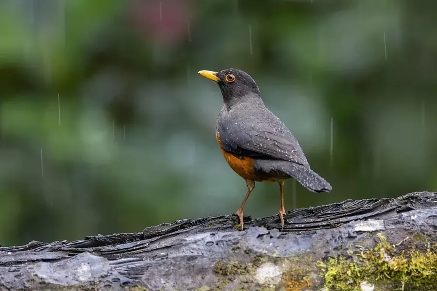
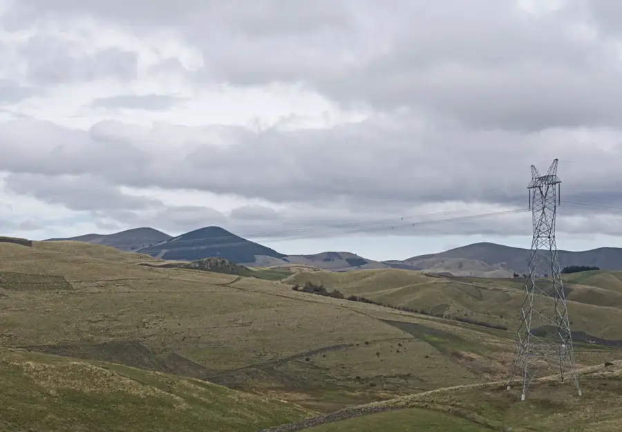
Pasochoa is an extinct stratovolcano located in the Ecuadorian Andes, approximately 15 kilometers south of Quito. Reaching an elevation of 4,200 meters above sea level, it is characterized by its highly eroded crater, which opened towards the west during a massive collapse thousands of years ago. Since 1982, the area has been protected as the Pasochoa Wildlife Refuge, covering approximately 500 hectares of high-altitude Andean forest. This refuge is one of the few remaining primary forests in the inter-Andean valley, hosting over 110 bird species and diverse flora like Polylepis trees. The volcanic structure itself belongs to the older volcanic chain of the region, having ceased activity during the Pleistocene epoch. Today, it serves as a critical site for environmental education and trekking, offering a unique microclimate shielded by the volcanic walls.
- Location: Ecuador
- Top sights: Cascada Cóndor Machay · Cascada Vilatuña · El Murco
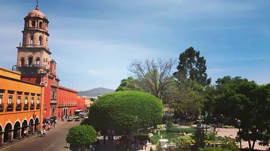
- Nearby: Saquisilí (23 km)
Best time to visit & climate
The most pleasant time to visit is Jul–Sep.
| Jan | Feb | Mar | Apr | May | Jun | Jul | Aug | Sep | Oct | Nov | Dec | |
|---|---|---|---|---|---|---|---|---|---|---|---|---|
| Avg °C | 14 | 14 | 14 | 15 | 15 | 14 | 14 | 14 | 14 | 14 | 14 | 14 |
| Rain mm | 132 | 142 | 169 | 168 | 117 | 63 | 43 | 33 | 41 | 80 | 92 | 100 |
📋 Practical info
Geography
Facts
- Elevation of 4,200 meters above sea level
- Wildlife refuge established in the year 1982
- Home to over 110 different bird species
- The crater is open toward the west
- Located 15 kilometers south of Quito
- Last volcanic activity occurred in the Pleistocene
Explore nearby
Notable places around
Route planner — Car & Motorhome
Where do you start? We build the route here, with stops and country notes along the way.
© OpenStreetMap contributors · OpenRouteService
Sights in the town Pasochoa (7)
Sights nearby
Frequently asked questions
What is special about Pasochoa?
Is it suitable for a day trip from Quito?
How high is Pasochoa?
What animals can be observed there?
Is there a protected area there?
Pasochoa: where is it located?
Pasochoa: what is there to see?
Pasochoa: when is the best time to visit?
Pasochoa: why is it worth visiting?

Nearby cities

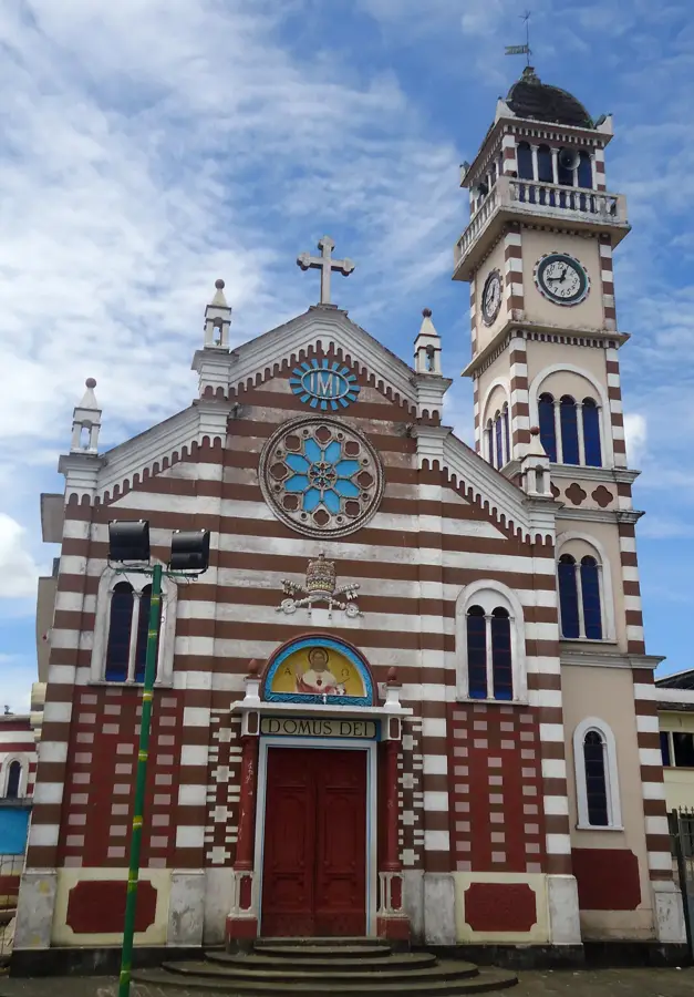

History & landmarks


More places