Plizio Visual Lab
Tungurahua
Weather…
Water temperature…
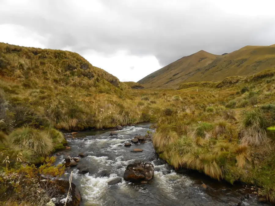
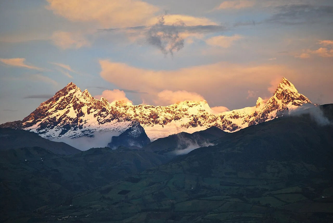
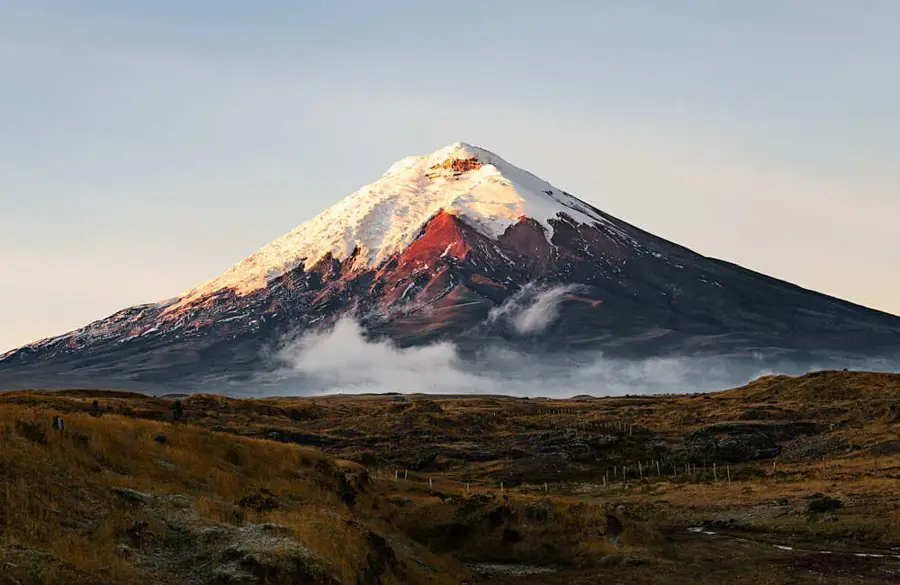
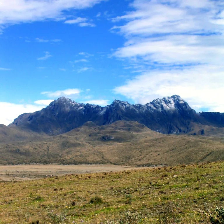
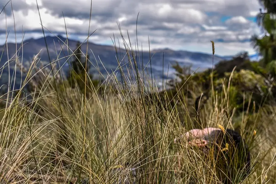
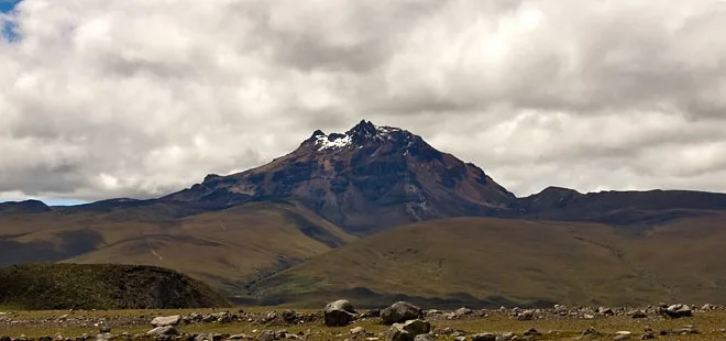
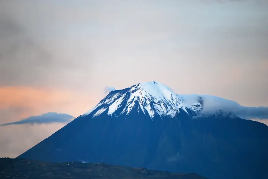
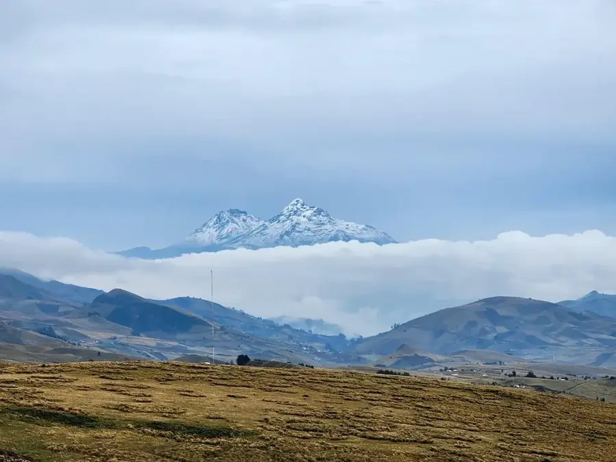
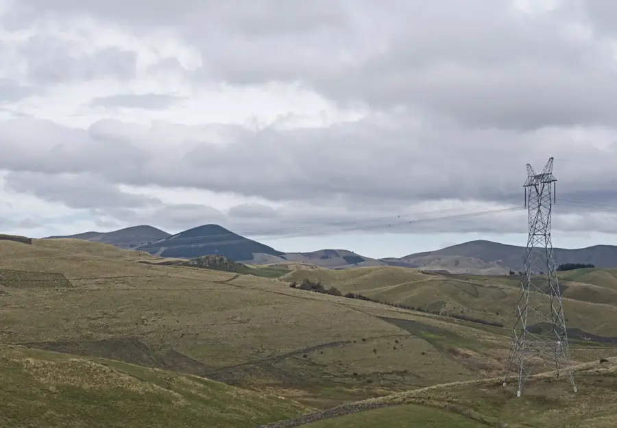
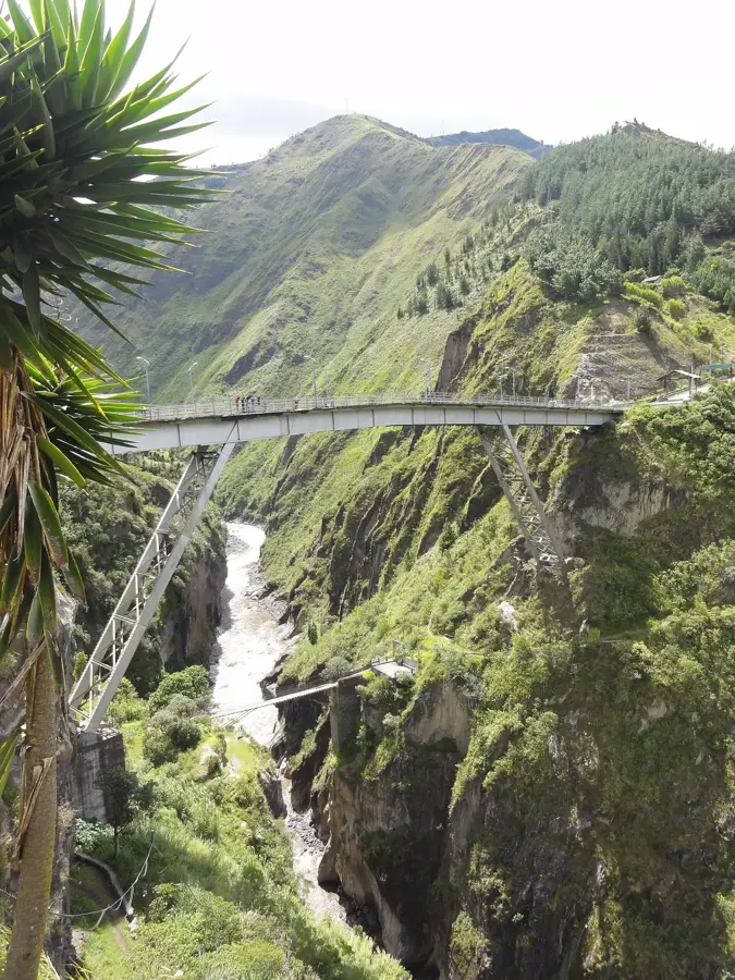
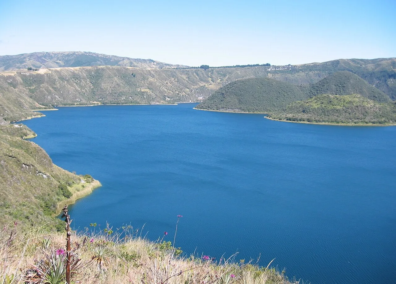
Tungurahua is an active stratovolcano located in the Cordillera Oriental of the Ecuadorian Andes, rising to an elevation of 5,023 meters above sea level. Known as the "Throat of Fire" in the local Quichua language, it is one of the most active volcanoes in South America, having entered a major eruptive phase in 1999 that lasted until 2016. Its steep-sided cone is situated within the Sangay National Park, a UNESCO World Heritage site known for its diverse ecological zones. The volcano overlooks the town of Baños, where its frequent ash falls and seismic activity have necessitated numerous evacuations over the past decades. Geologically, Tungurahua sits above a subduction zone where the Nazca Plate slides beneath the South American Plate, leading to its characteristic andesitic volcanism. The surrounding landscape features a mix of high-altitude paramo and lush cloud forests, which are periodically affected by volcanic deposits. Scientific monitoring is conducted by the Geophysical Institute to provide early warnings for the local population and agricultural sectors.
- Location: Ecuador
- Top sights: Cima Tungurahua (5023m) · Tungurahua Volcano · Chonglontuz
- Nearby: Sangolquí (25 km)
Best time to visit & climate
The most pleasant time to visit is Aug–Oct.
| Jan | Feb | Mar | Apr | May | Jun | Jul | Aug | Sep | Oct | Nov | Dec | |
|---|---|---|---|---|---|---|---|---|---|---|---|---|
| Avg °C | 12 | 12 | 11 | 12 | 11 | 10 | 10 | 10 | 11 | 11 | 12 | 11 |
| Rain mm | 124 | 146 | 162 | 162 | 129 | 111 | 89 | 75 | 67 | 109 | 113 | 113 |
📋 Practical info
Geography
Facts
- The summit reaches an elevation of 5,023 meters above sea level.
- A major eruptive cycle began in 1999 and continued until 2016.
- The name Tungurahua means 'Throat of Fire' in the Quichua language.
- It is located within the boundaries of Sangay National Park.
- The nearby town of Baños is a primary site for volcanic monitoring.
- The volcano is geologically classified as an active stratovolcano.
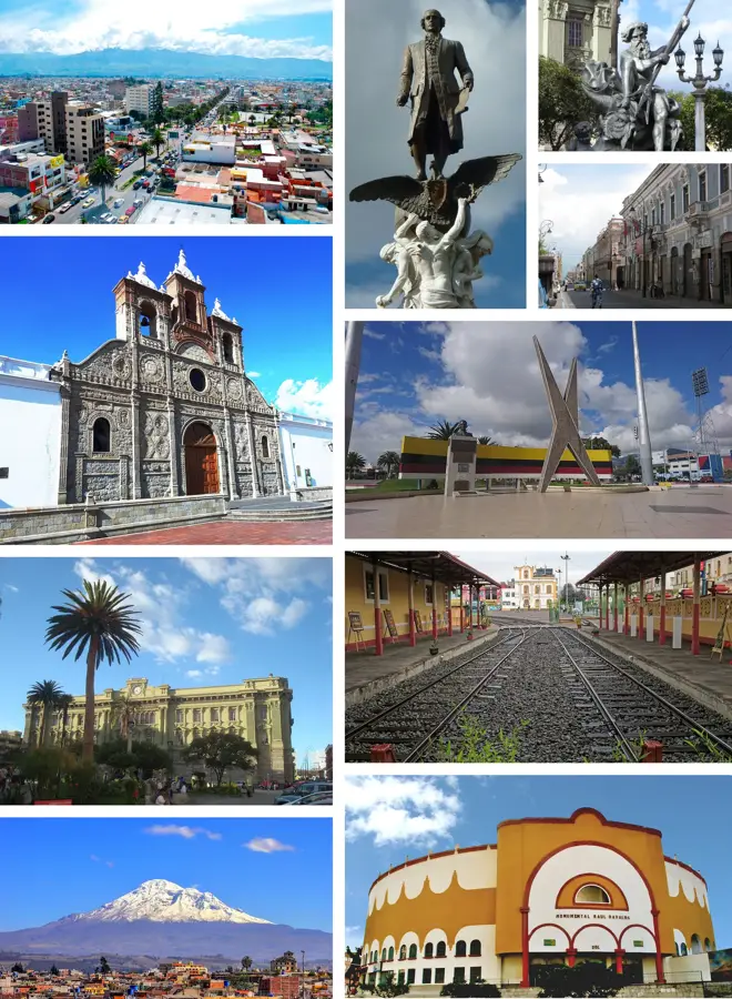
Explore nearby
Notable places around
Route planner — Car & Motorhome
Where do you start? We build the route here, with stops and country notes along the way.
© OpenStreetMap contributors · OpenRouteService
Sights in the town Tungurahua (5)
Sights nearby
Frequently asked questions
Is Tungurahua currently closed?
What does the name Tungurahua mean?
Where does the hike start?
Can you see the eruptions?
Is the trail steep?
Tungurahua: where is it located?
Tungurahua: what is there to see?
Tungurahua: when is the best time to visit?
Tungurahua: why is it worth visiting?

Nearby cities
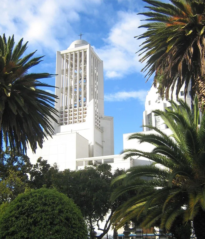

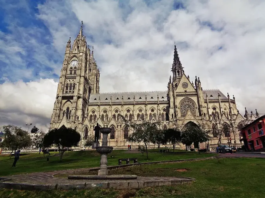
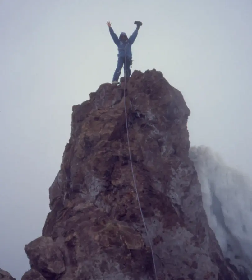
History & landmarks


Nature
More places