Plizio Visual Lab
Carihuairazo
Weather…
Water temperature…
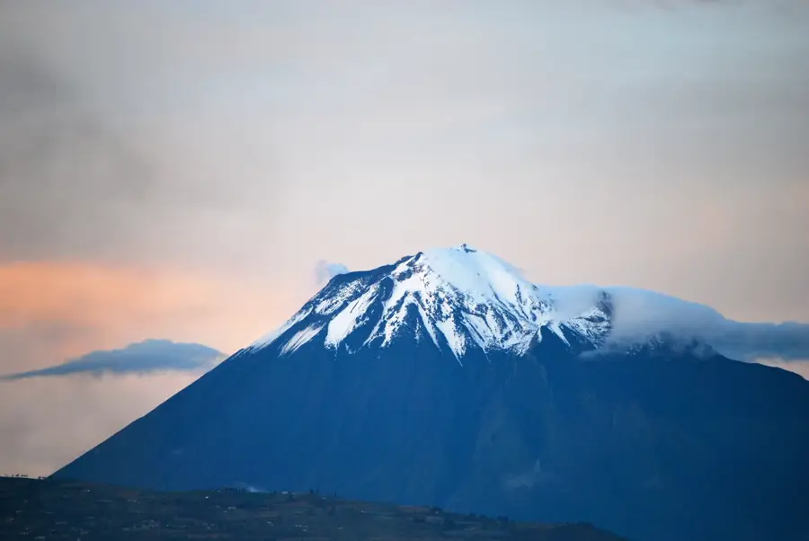
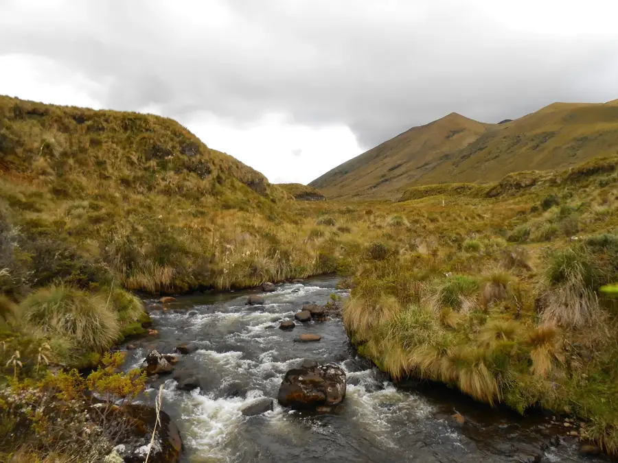
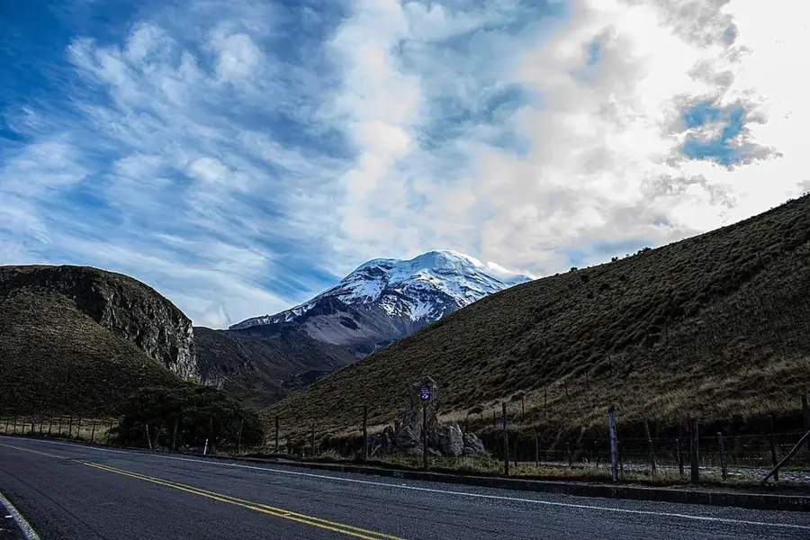
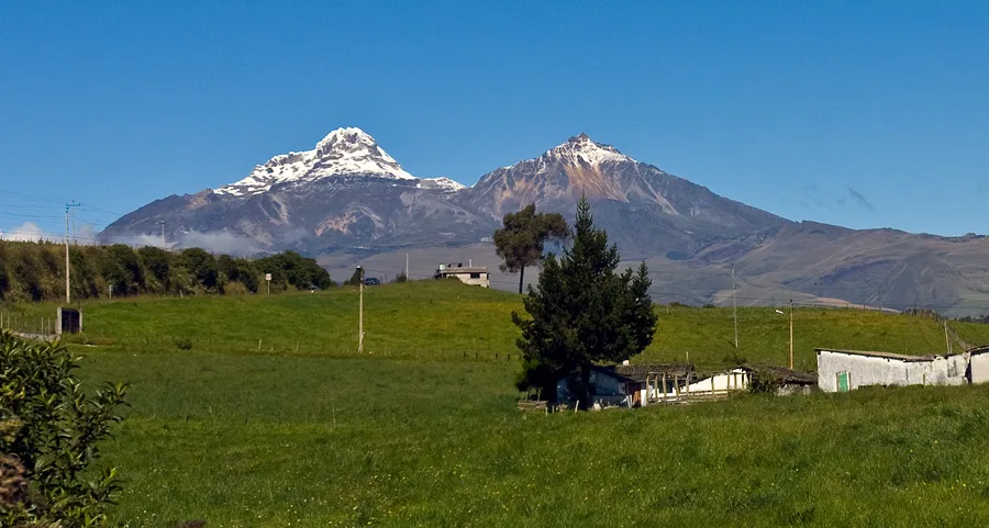
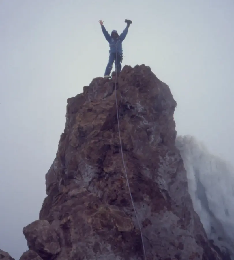
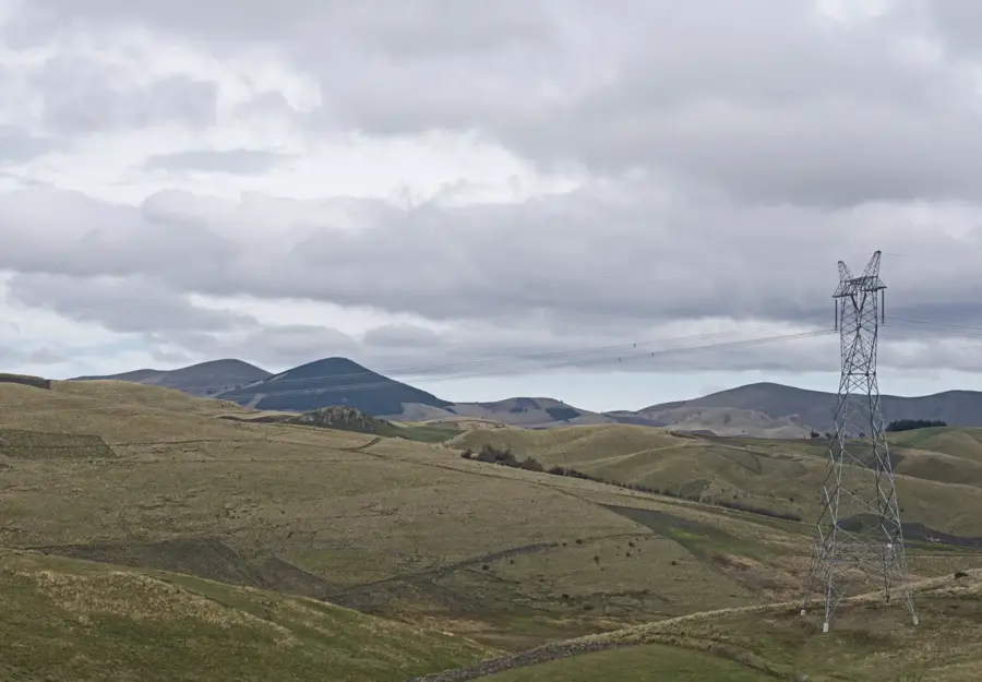
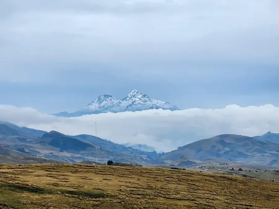
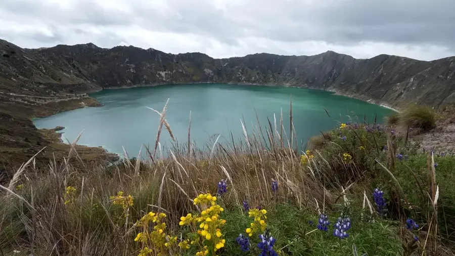
Carihuairazo is an extinct volcano located in the Western Cordillera of Ecuador, standing in close proximity to the majestic Chimborazo. Reaching an elevation of 5018 meters, it is one of the significant peaks in the country, though it is often overshadowed by its much taller neighbor. The name Carihuairazo originates from the Quichua language, meaning 'Man of the Snow', reflecting the extensive glaciers that historically covered its summit. In recent decades, the volcano has experienced a significant retreat of its glacial ice, serving as a stark indicator of climate change in the Andes. The volcanic structure features a heavily eroded caldera that is open to the northeast, shaped by millennia of ice action and natural erosion. The mountain is part of the Chimborazo Wildlife Production Reserve, where vicuñas can be seen grazing across the expansive páramo grasslands. For mountaineers, Carihuairazo serves as a handy acclimatization peak before attempting higher summits like Chimborazo. Reaching its top provides remarkable views of the central Ecuadorian 'Avenue of the Volcanoes' and the surrounding highland valleys.
- Location: Ecuador
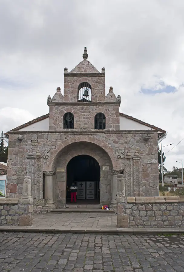
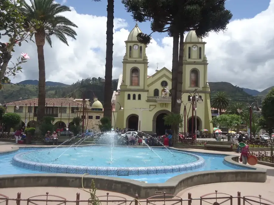
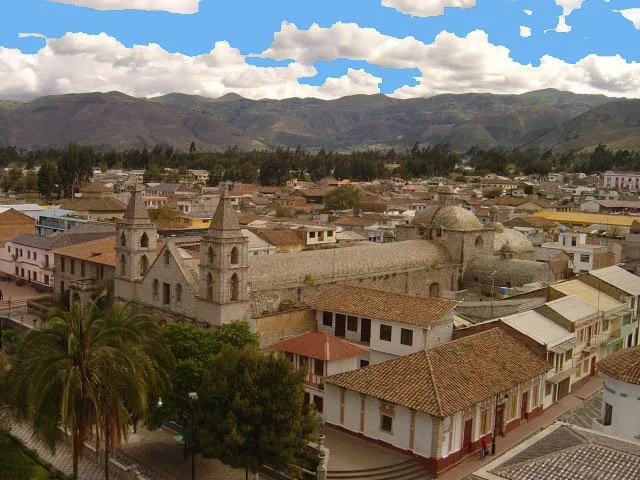
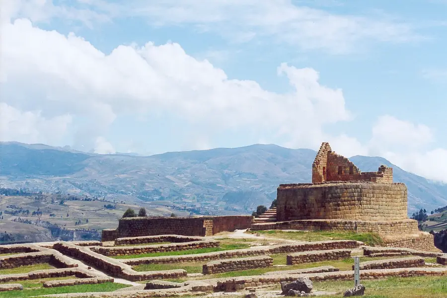
- Top sights: Tzunantza · Cruzmaqui · Iglesia Católica de Santa Lucía Arriba Bellavista
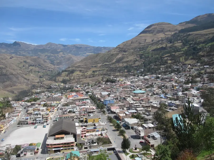
- Nearby: Saquisilí (15 km)
Best time to visit & climate
The most pleasant time to visit is Aug–Oct.
| Jan | Feb | Mar | Apr | May | Jun | Jul | Aug | Sep | Oct | Nov | Dec | |
|---|---|---|---|---|---|---|---|---|---|---|---|---|
| Avg °C | 12 | 12 | 11 | 12 | 11 | 10 | 10 | 10 | 11 | 11 | 12 | 11 |
| Rain mm | 124 | 146 | 162 | 162 | 129 | 111 | 89 | 75 | 67 | 109 | 113 | 113 |
📋 Practical info
Geography
Facts
- Carihuairazo is located about 150 km southwest of Quito.
- The name is derived from 'Cari' (man) and 'Huairazo' (wind/snow).
- Scientists predict its glaciers may completely disappear by 2030.
- The mountain features three main peaks: Josefina, Central, and Mocha.
- The first documented ascent of the peak was recorded in 1880.
- The volcano has remained inactive throughout recorded history.
Explore nearby
Notable places around
Route planner — Car & Motorhome
Where do you start? We build the route here, with stops and country notes along the way.
© OpenStreetMap contributors · OpenRouteService
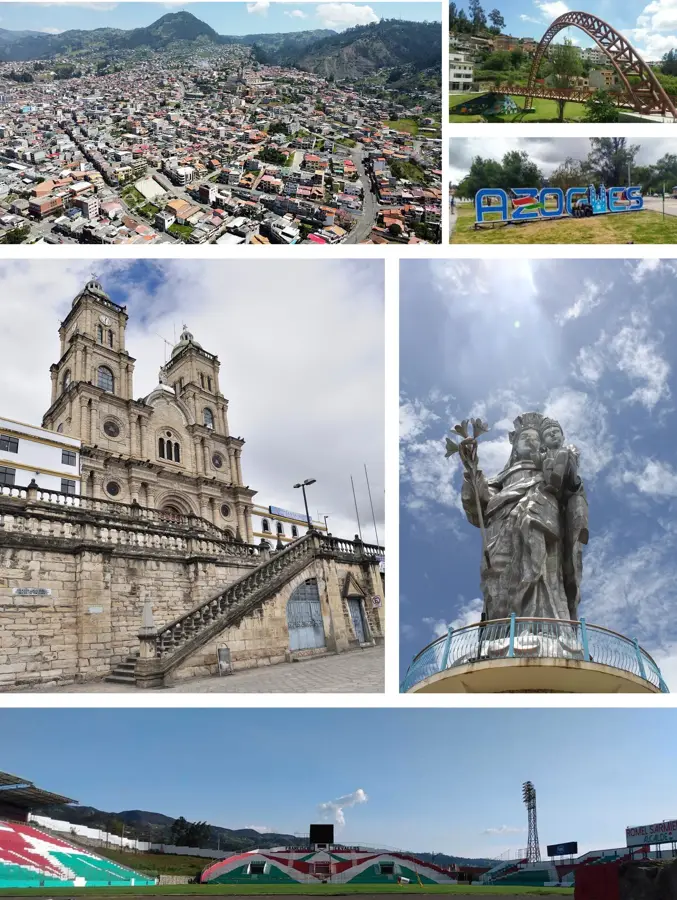
Sights in the town Carihuairazo (4)
Sights nearby
Frequently asked questions
Is Carihuairazo difficult to climb?
How high is the mountain?
Are there glaciers there?
When is the best time for a climb?
Do you need special equipment?
Carihuairazo: where is it located?
Carihuairazo: what is there to see?
Carihuairazo: when is the best time to visit?
Carihuairazo: why is it worth visiting?

Nearby cities
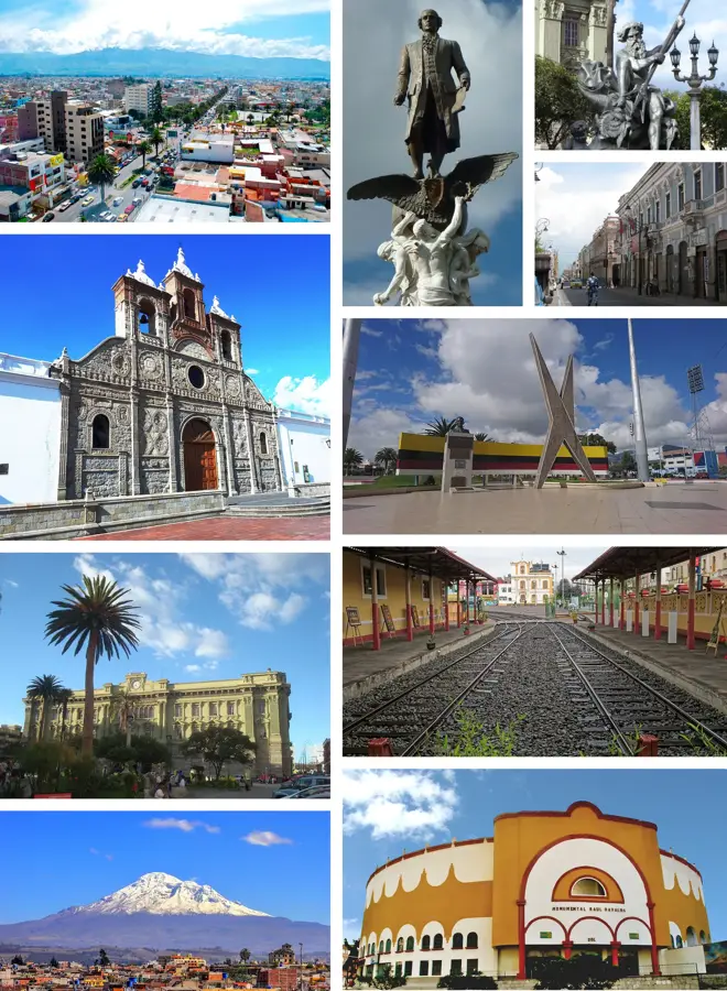
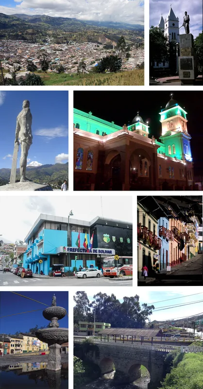
History & landmarks


Nature
More places