Plizio Visual Lab
El Altar
Weather…
Water temperature…
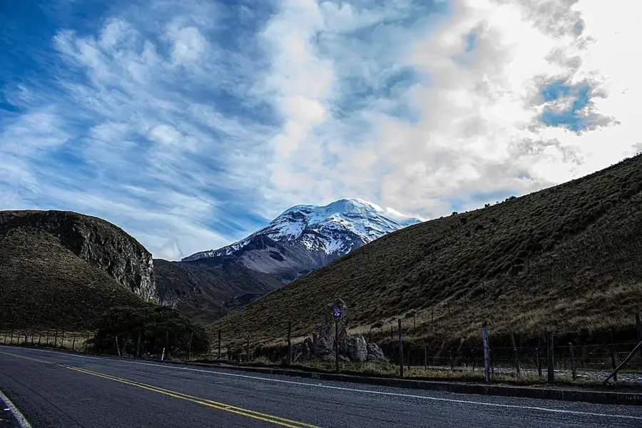
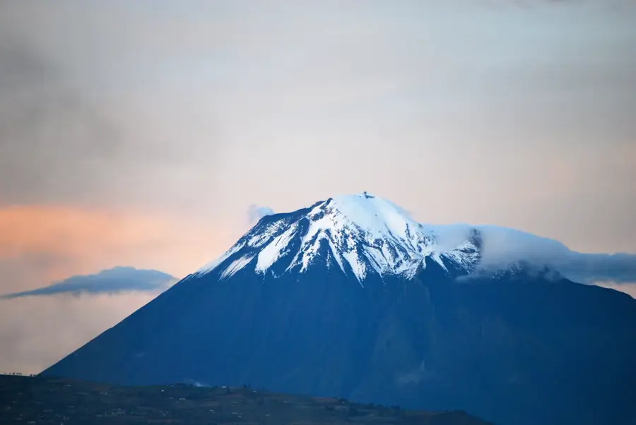
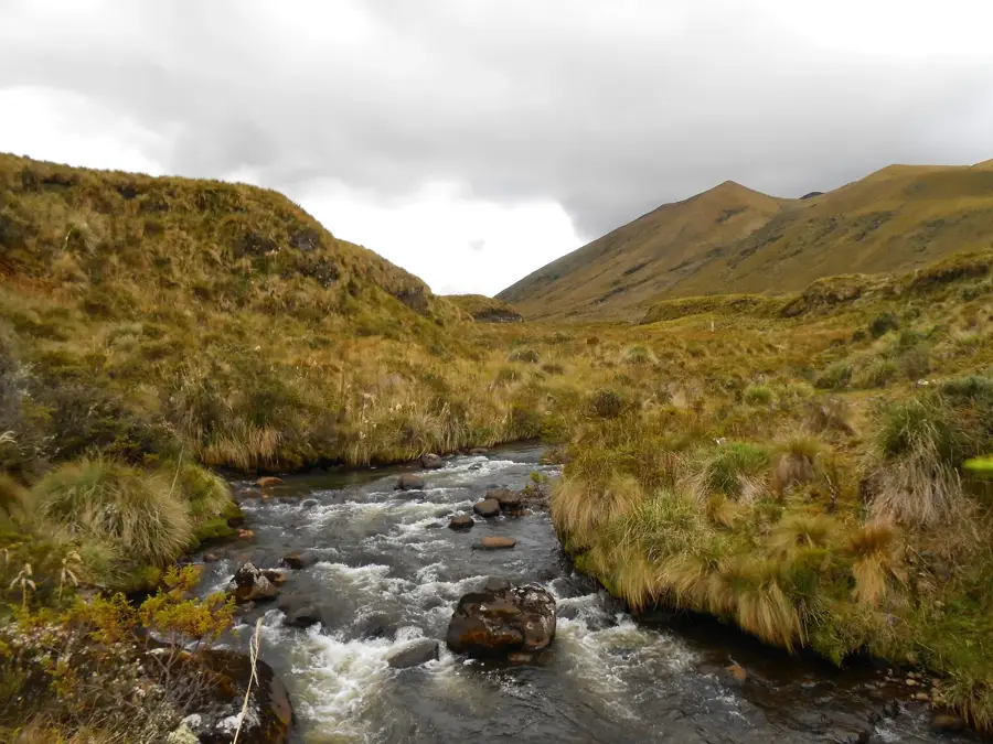
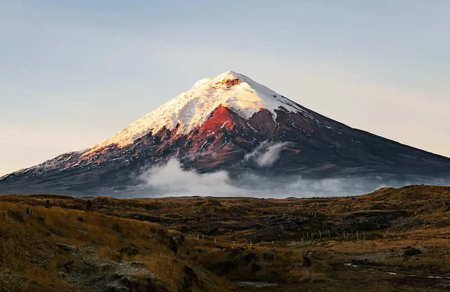
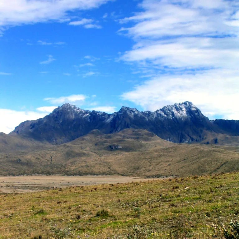
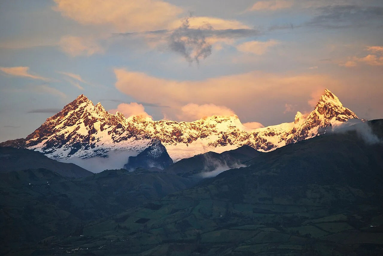
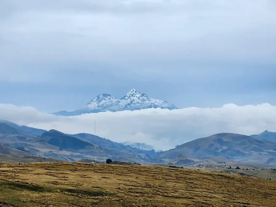
El Altar, known in the indigenous Kichwa language as Kapak Urku, is an extinct stratovolcano located within Sangay National Park and is widely regarded as one of Ecuador's most striking mountains. Standing at 5,319 meters (17,451 feet), it is believed to have once been one of the highest peaks on Earth before a massive collapse roughly 500 years ago created its current horseshoe-shaped caldera. This caldera opens to the west and shelters the emerald-green Laguna Amarilla at its center, fed by hanging glaciers from the surrounding ridges. The Spanish conquistadors gave it the name 'El Altar' because its nine main peaks resemble the layout of a cathedral, with the highest point named 'El Canónigo' (The Bishop). Due to extreme technical difficulty and unstable rock conditions, El Altar is considered the most challenging climb in the Ecuadorian Andes. Trekking to the crater rim is a popular but demanding journey that features sweeping views of the pristine wilderness of Sangay National Park, a UNESCO World Heritage site.
- Location: Ecuador
- Top sights: Laguna Amarilla · Mirador Laguna Verde
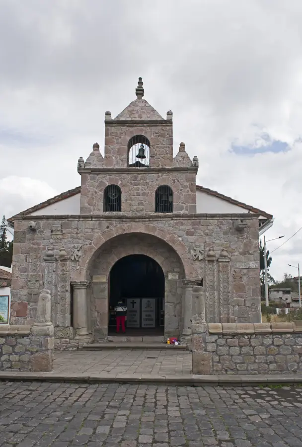
- Nearby: Sangolquí (30 km)
Best time to visit & climate
The most pleasant time to visit is Aug–Oct.
| Jan | Feb | Mar | Apr | May | Jun | Jul | Aug | Sep | Oct | Nov | Dec | |
|---|---|---|---|---|---|---|---|---|---|---|---|---|
| Avg °C | 12 | 12 | 11 | 12 | 11 | 10 | 10 | 10 | 11 | 11 | 12 | 11 |
| Rain mm | 124 | 146 | 162 | 162 | 129 | 111 | 89 | 75 | 67 | 109 | 113 | 113 |
📋 Practical info
Geography
Facts
- El Altar stands at a peak elevation of 5,319 meters.
- The mountain's massive collapse occurred around 1460 AD.
- Laguna Amarilla inside the crater is located at 4,150 meters.
- The highest peak of the massif is named 'El Canónigo'.
- The first successful ascent was not achieved until 1963.
- It is located within the Sangay National Park, a UNESCO site.
Explore nearby
Notable places around
Route planner — Car & Motorhome
Where do you start? We build the route here, with stops and country notes along the way.
© OpenStreetMap contributors · OpenRouteService
Sights in the town El Altar (2)
Sights nearby
Frequently asked questions
Why is the mountain called El Altar?
What is Laguna Amarilla?
How long does the trekking take?
What is the difficulty level of the hike?
When is the best visibility?
El Altar: where is it located?
El Altar: what is there to see?
El Altar: when is the best time to visit?
El Altar: why is it worth visiting?

Nearby cities

History & landmarks


More places