Plizio Visual Lab
Dakhatou Hills

Weather…
Water temperature…
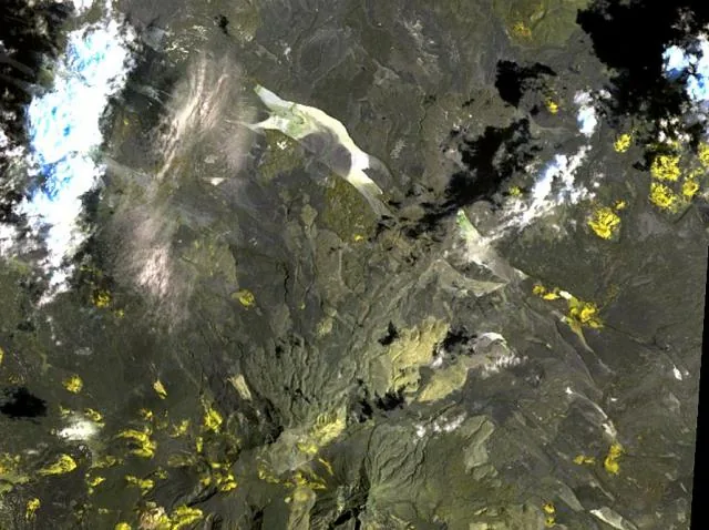
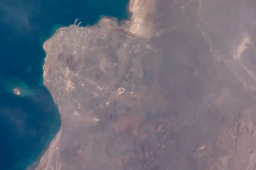
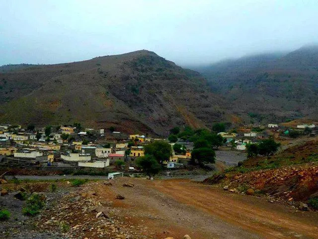
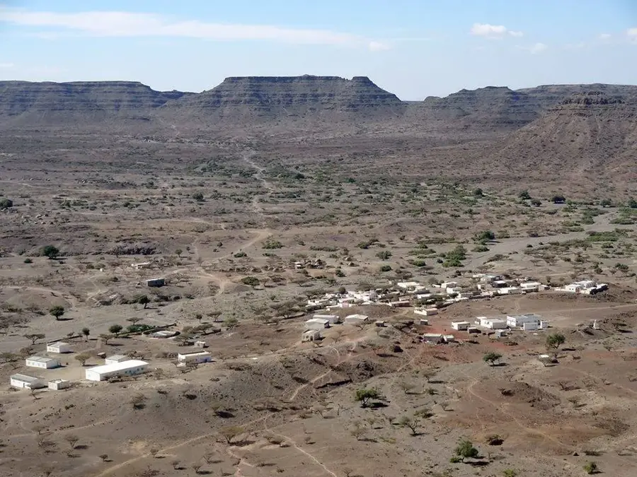
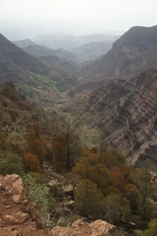
The Dakhatou Hills extend as a series of gentle to rugged elevations through the central plains of Djibouti, northwest of the town of Dikhil. This hilly landscape is geologically fascinating as it marks the transition zone between the volcanic high plateaus and the sandy sedimentary basins. The surface structure is shaped by erosion, which has produced bizarre rock formations and deep ravines. In the region's history, the Dakhatou Hills often served as a navigational aid for Afar nomads moving their livestock between watering points. Vegetation is extremely sparse, consisting mainly of thorny shrubs that turn green only briefly after rare spring rains. Despite the barren appearance, the area supports a specialized fauna, including gazelles and various birds of prey that nest in the rocky cliffs. The hills also offer sweeping views across the surrounding semi-desert toward Lake Abbe.
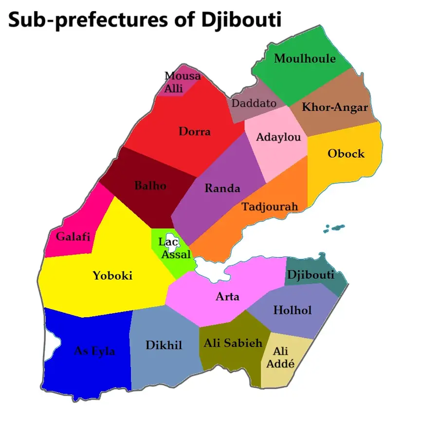
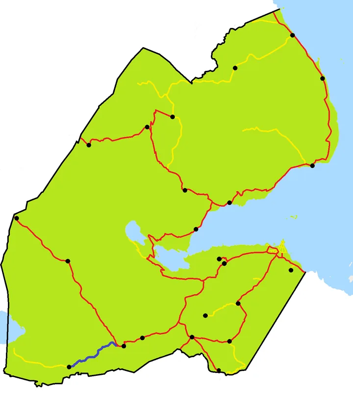
- Location: Djibouti
- Nearby: Balho (13 km)
Best time to visit & climate
The most pleasant time to visit is Jan, Feb, Dec.
| Jan | Feb | Mar | Apr | May | Jun | Jul | Aug | Sep | Oct | Nov | Dec | |
|---|---|---|---|---|---|---|---|---|---|---|---|---|
| Avg °C | 22 | 23 | 25 | 27 | 30 | 33 | 32 | 31 | 31 | 27 | 25 | 23 |
| Rain mm | 9 | 9 | 25 | 58 | 35 | 11 | 46 | 67 | 51 | 23 | 11 | 18 |
📋 Practical info
Geography
Facts
- The hills reach a maximum elevation of approximately 600 meters.
- They consist predominantly of rhyolitic and basaltic lava rock.
- The area is located within the fault zone of the Afar Triangle.
- The average temperature in the region stays above 30 degrees Celsius year-round.
- Dakhatou is a notable site for fossilized wood dating back to the Miocene.
- The hill range stretches over a length of about 25 kilometers.
Explore nearby
Notable places around
Route planner — Car & Motorhome
Where do you start? We build the route here, with stops and country notes along the way.
© OpenStreetMap contributors · OpenRouteService
Sights nearby
Frequently asked questions
What characterizes the Dakhatou Hills?
Are the hills inhabited?
Are there water sources?
Is it worth a visit for photographers?
How do you reach them?
Dakhatou Hills: where is it located?
Dakhatou Hills: when is the best time to visit?
Dakhatou Hills: why is it worth visiting?

Nearby cities

History & landmarks
Nature

More places