Plizio Visual Lab
Gessila Peak
Weather…
Water temperature…
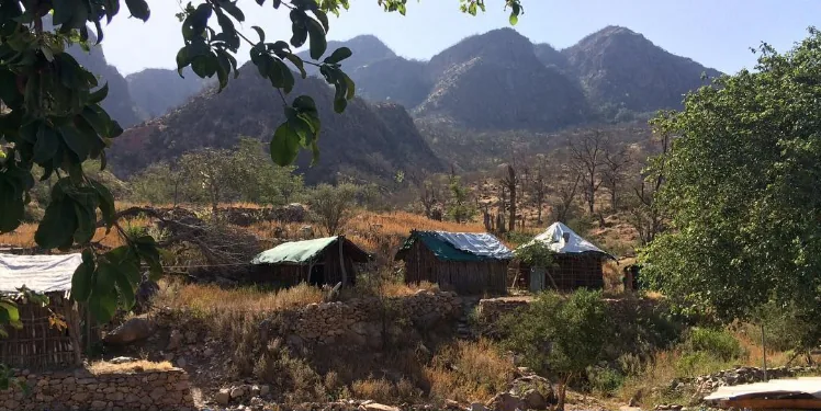
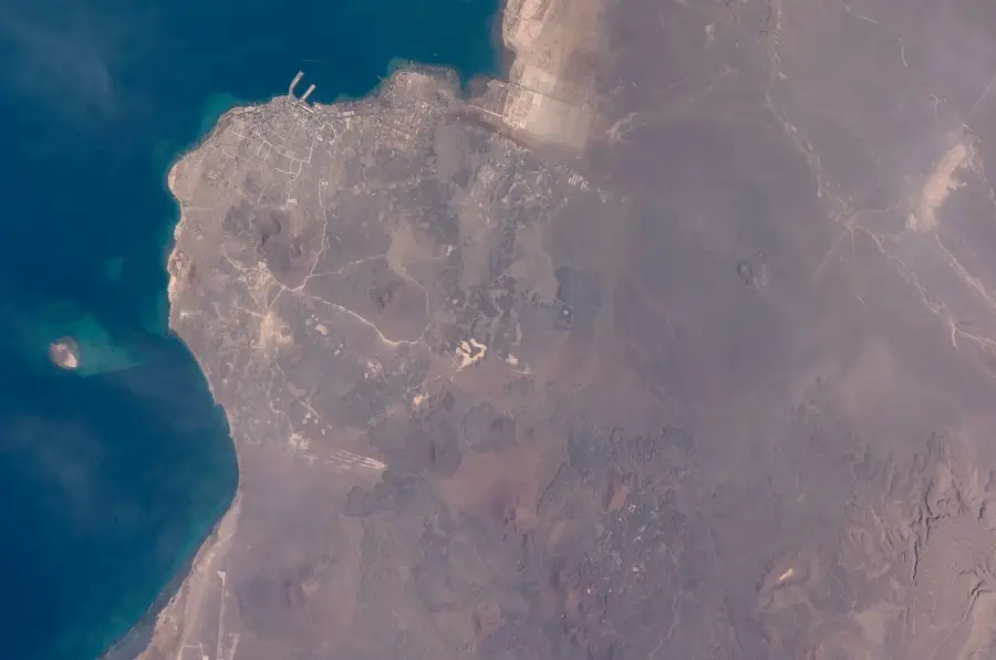
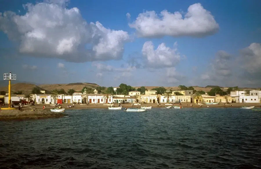
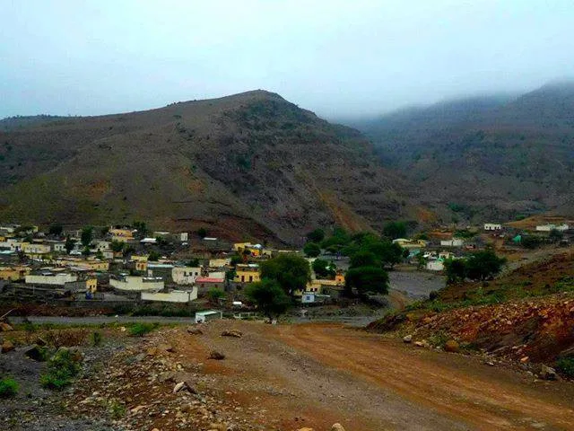
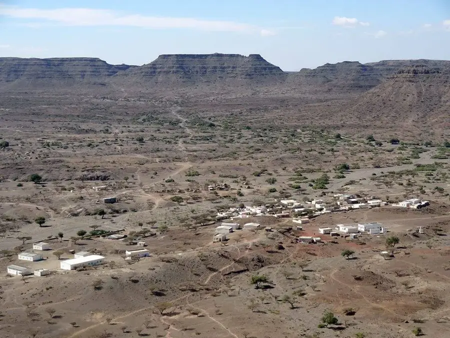
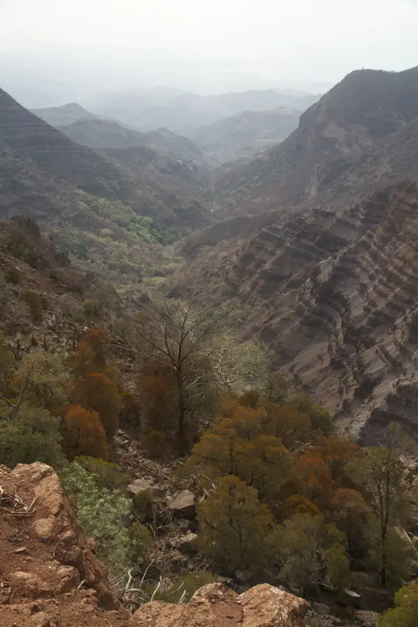
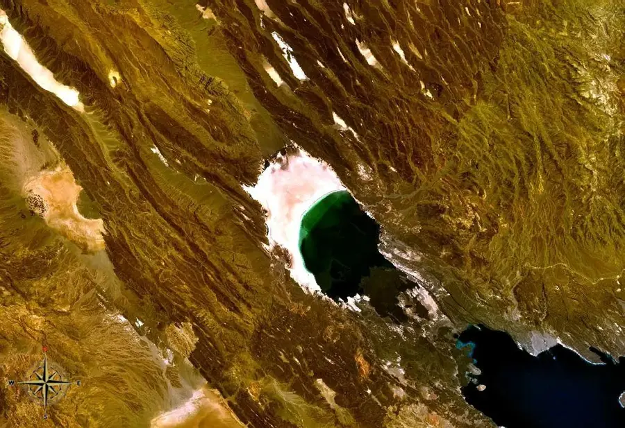
Gessila Peak is a prominent mountain summit located in the rugged highlands between Tadjourah and Obock in northern Djibouti. Rising to an elevation of over 1,300 meters, it stands as one of the country's most significant topographic features. Its formation is deeply rooted in the volcanic history of the Afar Triangle, evident in the basaltic nature of its rocky slopes. From the summit, visitors can enjoy sweeping panoramic views that stretch across the Gulf of Tadjourah and the surrounding desert ranges. The terrain around Gessila is steep and dissected by deep wadis that channel flash floods during the infrequent rainy seasons. Vegetation is minimal, consisting mainly of hardy, drought-resistant shrubs and occasional acacia trees. Due to its challenging accessibility, the area remains largely uninhabited, visited primarily by nomadic herders. For adventurous trekkers, the ascent features a demanding physical test set within a pristine and untouched natural landscape.
- Location: Djibouti
- Top sights: `Adgub · Darbi `Ale · Somma
- Nearby: Randa (8 km)
Best time to visit & climate
The most pleasant time to visit is Jan, Feb, Dec.
| Jan | Feb | Mar | Apr | May | Jun | Jul | Aug | Sep | Oct | Nov | Dec | |
|---|---|---|---|---|---|---|---|---|---|---|---|---|
| Avg °C | 22 | 23 | 25 | 27 | 30 | 33 | 32 | 31 | 31 | 27 | 25 | 23 |
| Rain mm | 9 | 9 | 25 | 58 | 35 | 11 | 46 | 67 | 51 | 23 | 11 | 18 |
📋 Practical info
Geography
Facts
- Located in the mountainous belt between Tadjourah and Obock.
- Stands at an elevation of more than 1,300 meters above sea level.
- Formed through volcanic processes within the Afar rift system.
- Provides expansive views of the surrounding Gulf of Tadjourah.
- The slopes support sparse vegetation adapted to arid conditions.
- Acts as a historical navigational landmark for local Afar nomads.
Explore nearby
Notable places around
Route planner — Car & Motorhome
Where do you start? We build the route here, with stops and country notes along the way.
© OpenStreetMap contributors · OpenRouteService
Sights in the town Gessila Peak (3)
Sights nearby
Frequently asked questions
How high is Gessila Peak?
Is the climb difficult?
Is a guide necessary?
What can you see from the peak?
When should you start?
Gessila Peak: where is it located?
Gessila Peak: what is there to see?
Gessila Peak: when is the best time to visit?
Gessila Peak: why is it worth visiting?

Nearby cities

History & landmarks
Nature
More places