Plizio Visual Lab
Kouta Bouyya
ℹ️Practical info — Kouta Bouyya
▾
🌤 Weather — 5 days
📍 Nearby
Sights nearby
💡 Tips
- Due to the high elevation, nights can get surprisingly cold compared to the coastal heat; pack a warm jacket.
- There are no ATMs or modern banking facilities here, so bring all the cash you need from Djibouti City or Tadjourah.
- The terrain is rugged and volcanic; sturdy hiking boots are essential if you plan to explore the surrounding peaks.
- It is customary to ask for permission before taking photographs of locals or specific tribal settlements.
🍽 Food
A Djiboutian lamb and rice dish flavored with cardamom, available if you pre-arrange meals with local guesthouses.
A traditional boiled goat soup, very comforting in the cooler mountain evenings. Typically served with flatbread.
Sweet black tea brewed with cardamom and cinnamon, often offered as a gesture of hospitality.
🛍 Shopping · 🧘 Quiet spots
You might find handmade woven mats or small nomadic crafts offered directly by locals in the village.
Occasionally available from local traders who gather resins from the region.
Hike up to the surrounding mountain ridges at sunrise for wide-open, silent views of the arid, dramatic landscape.
Sit quietly on the outskirts of the settlement to observe the nomadic herders tending to their goats and camels in the vast plains.
Water temperature…
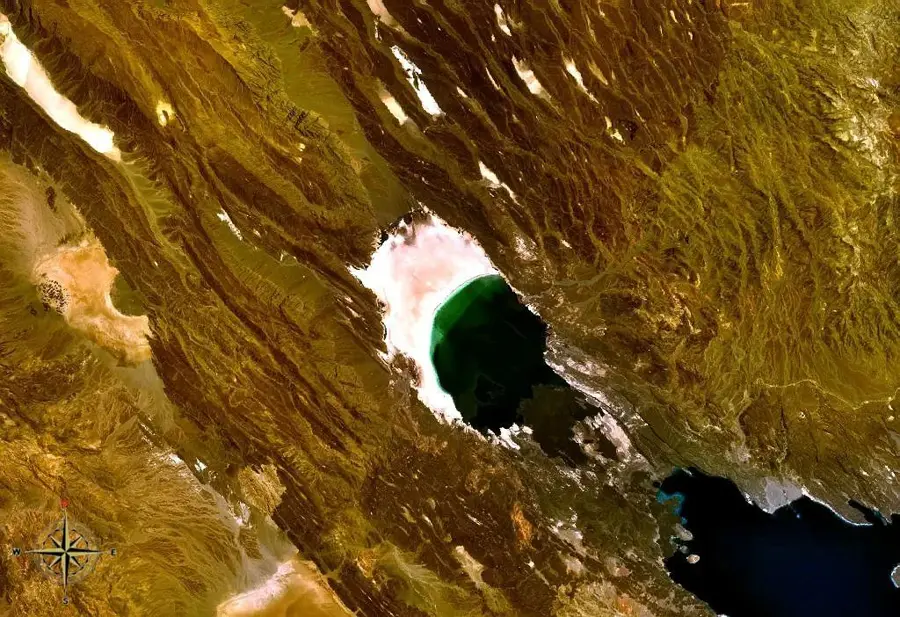
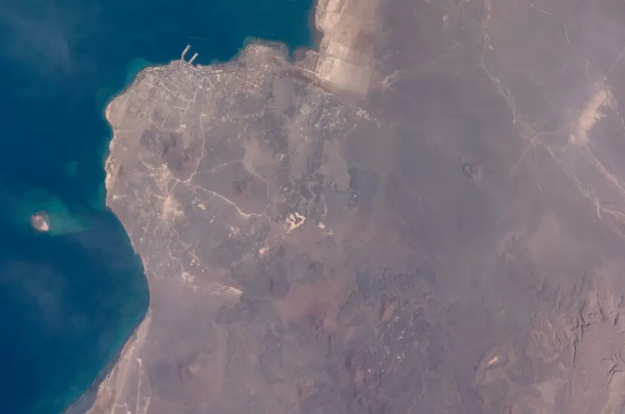
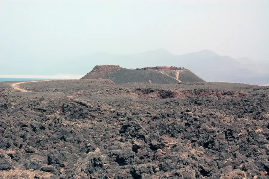
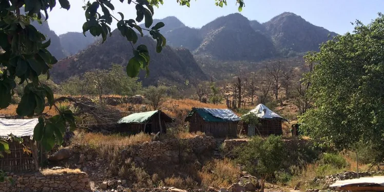
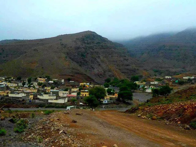
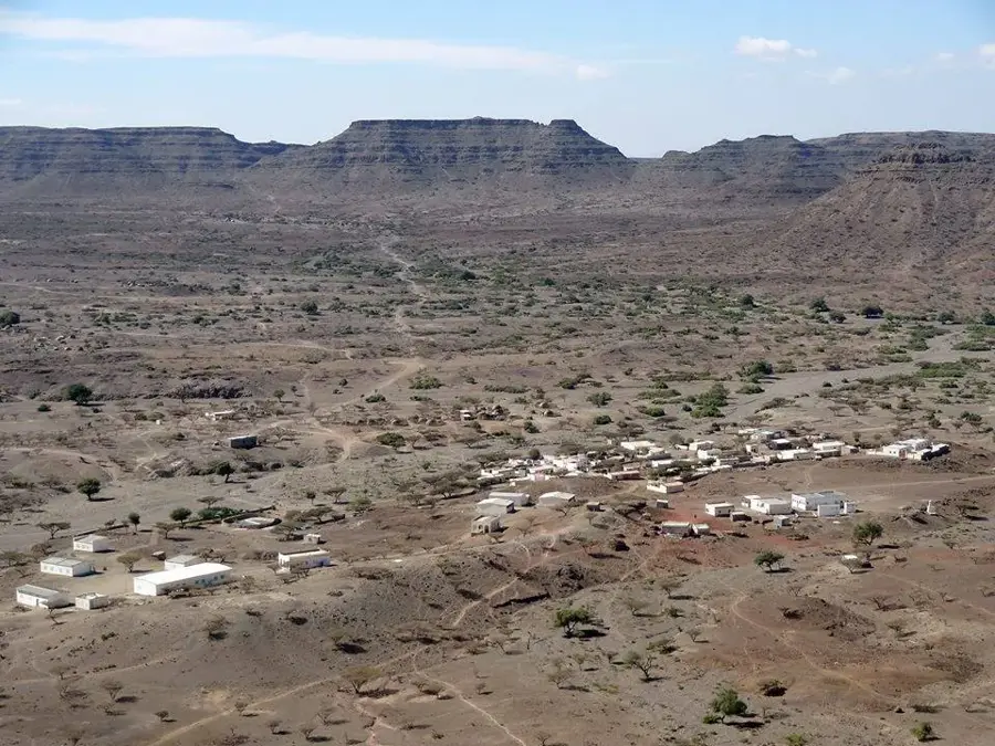
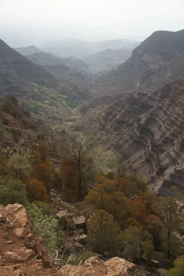
Kouta Bouyya is a remote settlement located in the Dikhil Region of southwestern Djibouti, situated near the international border with Ethiopia. The geographical setting is defined by the extreme conditions of the Danakil Desert, featuring vast plains of volcanic rock and sparse, drought-resistant vegetation. Historically, this area has served as a vital transit point for nomadic pastoralists moving their herds between the Ethiopian highlands and the coastal plains of the Horn of Africa. The local economy is almost entirely dependent on livestock herding, particularly camels and goats, which provide the primary sustenance and trade goods for the inhabitants. Due to its isolated position, infrastructure remains minimal, yet the settlement is a culturally significant hub for the Afar people who inhabit this arid territory. The climate is characterized by extreme heat, with temperatures regularly exceeding 45 degrees Celsius during the summer months, and very low annual rainfall. Modern developments are slowly introducing basic services such as water points and health clinics, though the traditional nomadic lifestyle continues to dominate daily life while the town maintains its strategic role in cross-border movements.
- Location: Djibouti
- Nearby: Randa (23 km)
Best time to visit & climate
The most pleasant time to visit is Jan, Feb, Dec.
| Jan | Feb | Mar | Apr | May | Jun | Jul | Aug | Sep | Oct | Nov | Dec | |
|---|---|---|---|---|---|---|---|---|---|---|---|---|
| Avg °C | 22 | 23 | 25 | 27 | 30 | 33 | 32 | 31 | 31 | 27 | 25 | 23 |
| Rain mm | 9 | 9 | 25 | 58 | 35 | 11 | 46 | 67 | 51 | 23 | 11 | 18 |
Geography
Facts
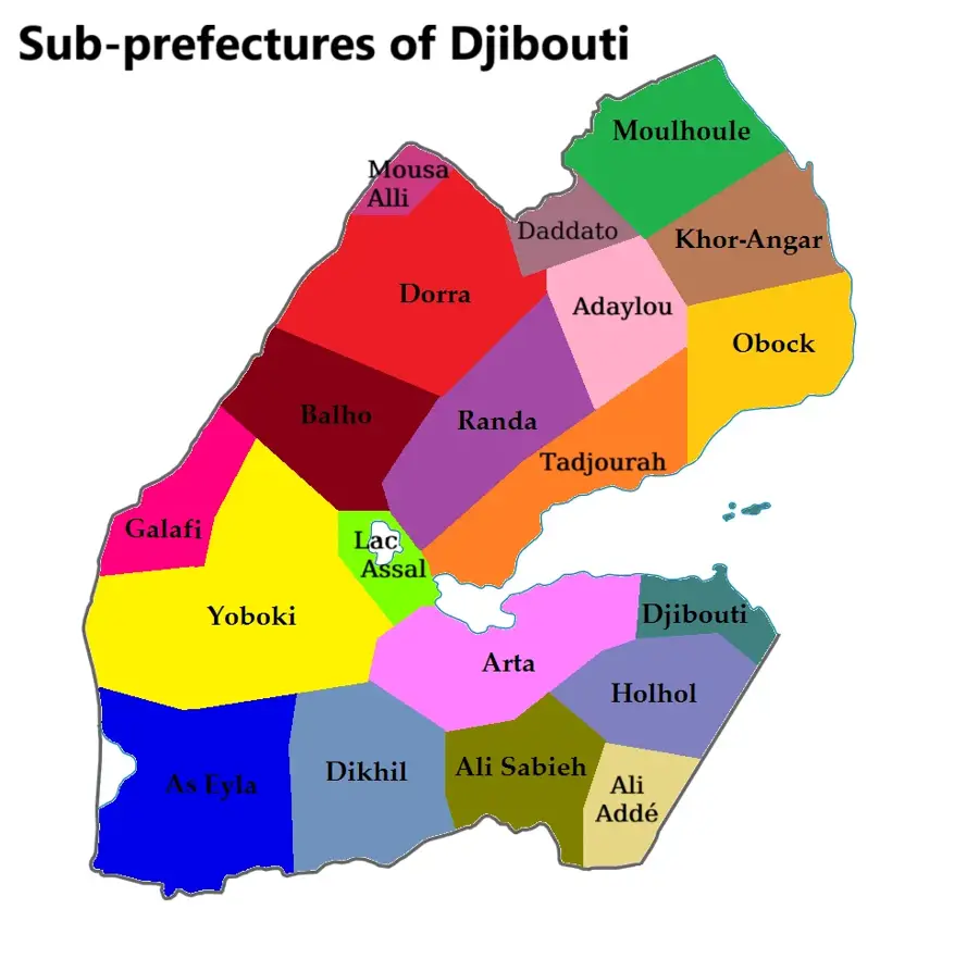
- Located in the Dikhil Region in the southwest of Djibouti.
- Situated in close proximity to the international border with Ethiopia.
- Part of the geologically significant Danakil Depression area.
- Summer temperatures frequently rise above 45 degrees Celsius.
- Nomadic camel herding is the primary economic activity.
- The inhabitants belong mainly to the Afar ethnic group.
Explore nearby
Notable places around
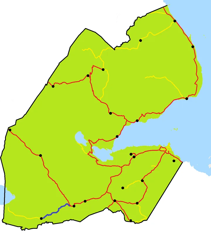
Route planner — Car & Motorhome
Where do you start? We build the route here, with stops and country notes along the way.
© OpenStreetMap contributors · OpenRouteService
Sights in the town Kouta Bouyya (1)
Frequently asked questions
Where is Kouta Bouyya located?
What do people do there?
Are there schools there?
What is the terrain like?
Do you need water reserves?
Kouta Bouyya: where is it located?
Kouta Bouyya: when is the best time to visit?
Kouta Bouyya: why is it worth visiting?

Nearby cities

History & landmarks
Nature

More places