Plizio Visual Lab
Allols Depression

Weather…
Water temperature…
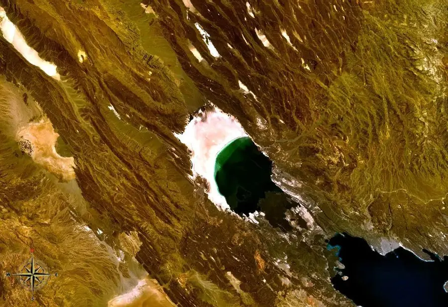
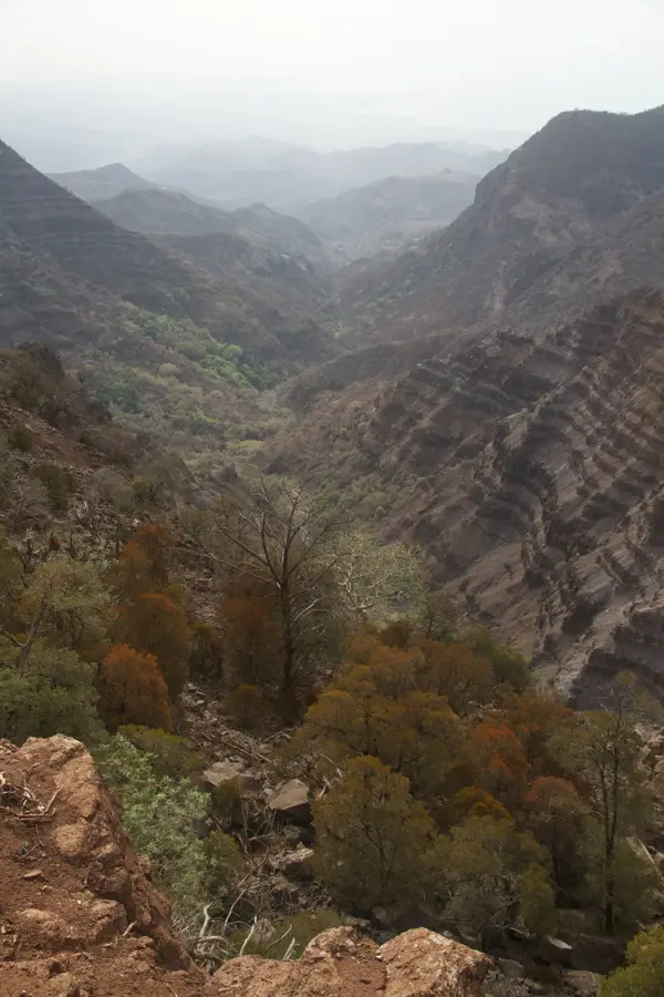
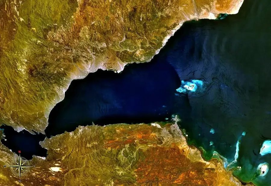
The Allols Depression is a geologically fascinating low-lying area in northern Djibouti, situated north of Lake Assal. Resting at approximately 100 meters below sea level, it forms part of the complex rift system of the broader Afar Triangle. This sunken plain is characterized by vast salt deposits and numerous hot springs, which are clear indicators of intense geothermal activity beneath the surface. The climate within the depression is exceptionally hot and arid, conditions that facilitate the formation of unique mineral structures. Occasionally, seasonal rains may collect in the lower reaches, but the high evaporation rate quickly transforms these pools into brilliant salt crusts. The landscape has an otherworldly appearance with its stark white salt flats contrasted against dark volcanic hills. Geologists study Allols because the Earth's crust is notably thin here, making it a key site for understanding continental rifting. Its remote location ensures it remains one of the least explored and most pristine parts of the country.
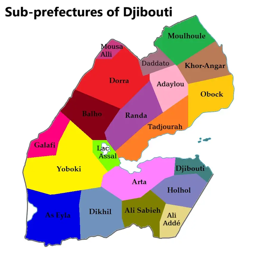
- Location: Djibouti
- Top sights: Sârouli · Inkaflou · Ouroumma
- Nearby: Balho (5 km)
Best time to visit & climate
The most pleasant time to visit is Jan, Feb, Dec.
| Jan | Feb | Mar | Apr | May | Jun | Jul | Aug | Sep | Oct | Nov | Dec | |
|---|---|---|---|---|---|---|---|---|---|---|---|---|
| Avg °C | 24 | 26 | 28 | 29 | 32 | 34 | 33 | 32 | 32 | 29 | 27 | 25 |
| Rain mm | 7 | 7 | 22 | 50 | 31 | 9 | 51 | 77 | 47 | 15 | 7 | 11 |
📋 Practical info
Geography
Facts
- Situated roughly 100 meters below sea level in northern Djibouti.
- Forms a key segment of the active Afar Depression rift system.
- Known for its extensive salt deposits and geothermal hot springs.
- Experiences some of the highest average temperatures on Earth.
- A significant site for studying the divergence of tectonic plates.
- The terrain consists of brilliant white salt flats and dark lava.
Explore nearby
Notable places around
Route planner — Car & Motorhome
Where do you start? We build the route here, with stops and country notes along the way.
© OpenStreetMap contributors · OpenRouteService
Sights in the town Allols Depression (3)
Sights nearby
Frequently asked questions
What is the Allols Depression?
Is the depression inhabited?
What colors can be seen there?
How is the access to the Allols Depression?
Is there liquid water there?
Allols Depression: where is it located?
Allols Depression: what is there to see?
Allols Depression: when is the best time to visit?
Allols Depression: why is it worth visiting?

Nearby cities

History & landmarks
Nature

More places