Plizio Visual Lab
Randa
ℹ️Practical info — Randa
▾
🌤 Weather — 5 days
📍 Nearby
Sights nearby
💡 Tips
- Prepare for cooler temperatures than the coast; Randa in the Goda Mountains can be chilly at night.
- Hire a local guide to explore the nearby Day Forest National Park to avoid getting lost.
- Carry enough cash from Djibouti City, as there are no ATMs in the mountain villages.
- Wear sturdy hiking shoes, the terrain around the village is rocky and uneven.
🍽 Food
Best requested at a local guesthouse.
Enjoy a sweet, spiced tea at a village tea stall.
Often available from local nomadic herders in the mornings.
🛍 Shopping · 🧘 Quiet spots
Ask locals if any artisans are selling handmade knives.
Look for Afar women selling colorful woven goods.
Enjoy the serene views of the green valleys.
A great spot for stargazing with zero light pollution.
Water temperature…
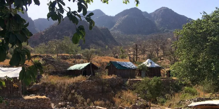
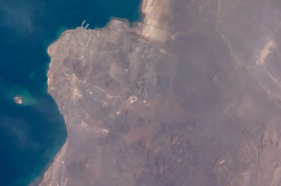
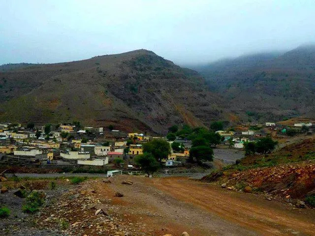
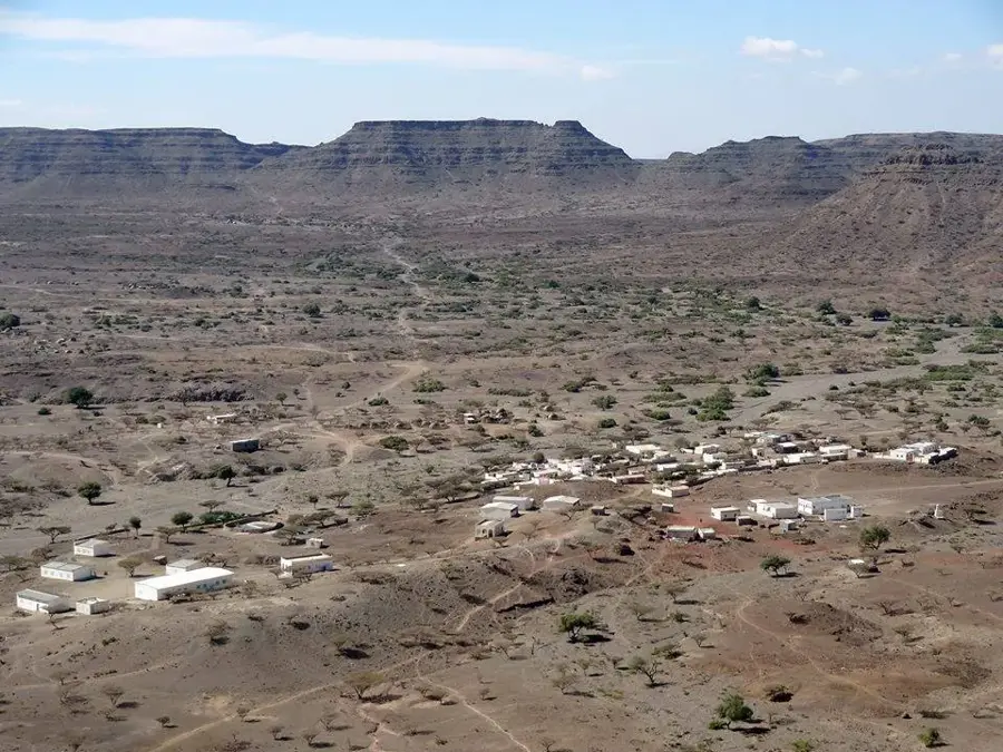
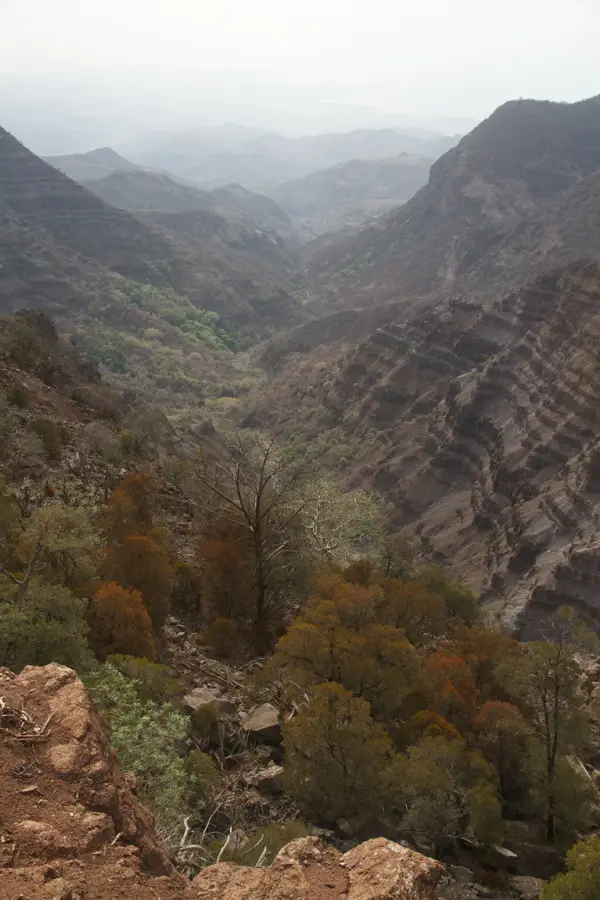
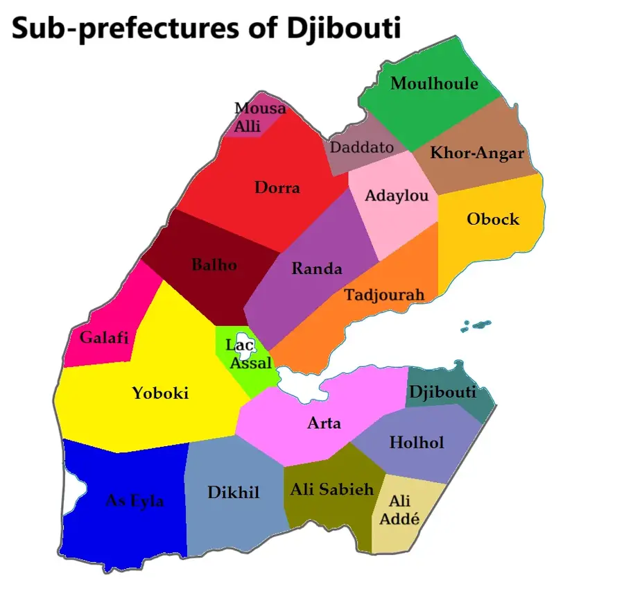
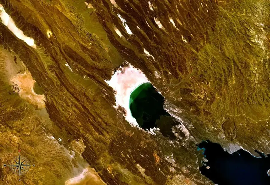
Randa is a small town in the Tadjoura Region of Djibouti, situated at an elevation of approximately 930 meters above sea level. This altitude gives it a more temperate climate compared to the country's coastal regions, making it an important local center. The settlement is located near the Goda Mountains and the Day Forest National Park, one of the few forested areas in Djibouti, renowned for its endemic flora, including the Djibouti juniper. Randa's economy is primarily based on agriculture, with the cooler temperatures allowing for the cultivation of vegetables and fruits, a rarity in the otherwise arid landscape. The town serves as an administrative and social hub for the semi-nomadic Afar population of the surrounding areas. Historically, the area around Randa has been a significant resting spot for caravans traversing the desert. Its infrastructure includes a primary school, a small medical center, and a few local shops that cater to the basic needs of the community.
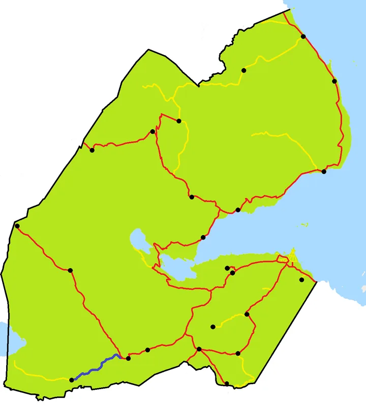
- Location: Djibouti
- Top sights: Ḏertim · ‘Ado Dâba
- Nearby: Adailou (11 km)
- Population: ~2.055 (2025)
Best time to visit & climate
The most pleasant time to visit is Jan, Feb, Dec.
| Jan | Feb | Mar | Apr | May | Jun | Jul | Aug | Sep | Oct | Nov | Dec | |
|---|---|---|---|---|---|---|---|---|---|---|---|---|
| Avg °C | 22 | 23 | 25 | 27 | 30 | 33 | 32 | 31 | 31 | 27 | 25 | 23 |
| Rain mm | 9 | 9 | 25 | 58 | 35 | 11 | 46 | 67 | 51 | 23 | 11 | 18 |
Geography
Facts
- Located at an altitude of 930 meters.
- Part of the Tadjoura Region.
- Near the Day Forest National Park.
- The climate is cooler than Djibouti's coast.
- A center for the local Afar people.
- Known for its fruit and vegetable cultivation.
Explore nearby
Notable places around
Route planner — Car & Motorhome
Where do you start? We build the route here, with stops and country notes along the way.
© OpenStreetMap contributors · OpenRouteService
Frequently asked questions
What makes Randa special?
Is there agriculture there?
Can you go hiking there?
What is the accommodation situation?
When is harvest season?
Randa: where is it located?
Randa: what is there to see?
Randa: when is the best time to visit?
Randa: why is it worth visiting?

Nearby cities

History & landmarks
Nature
More places