Plizio Visual Lab
Mungo River
Weather…
Water temperature…
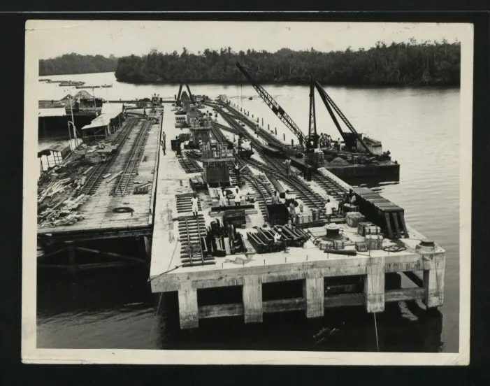
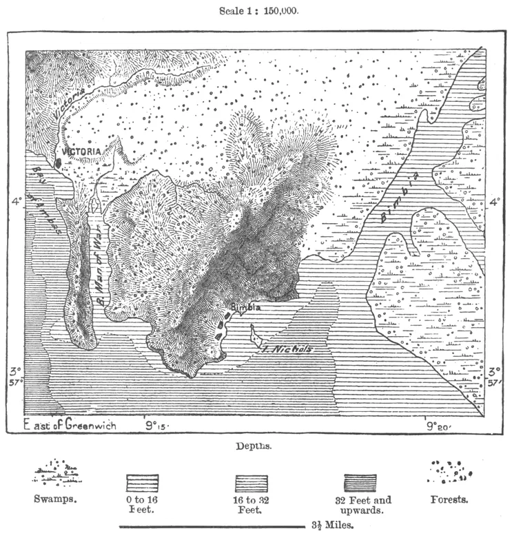
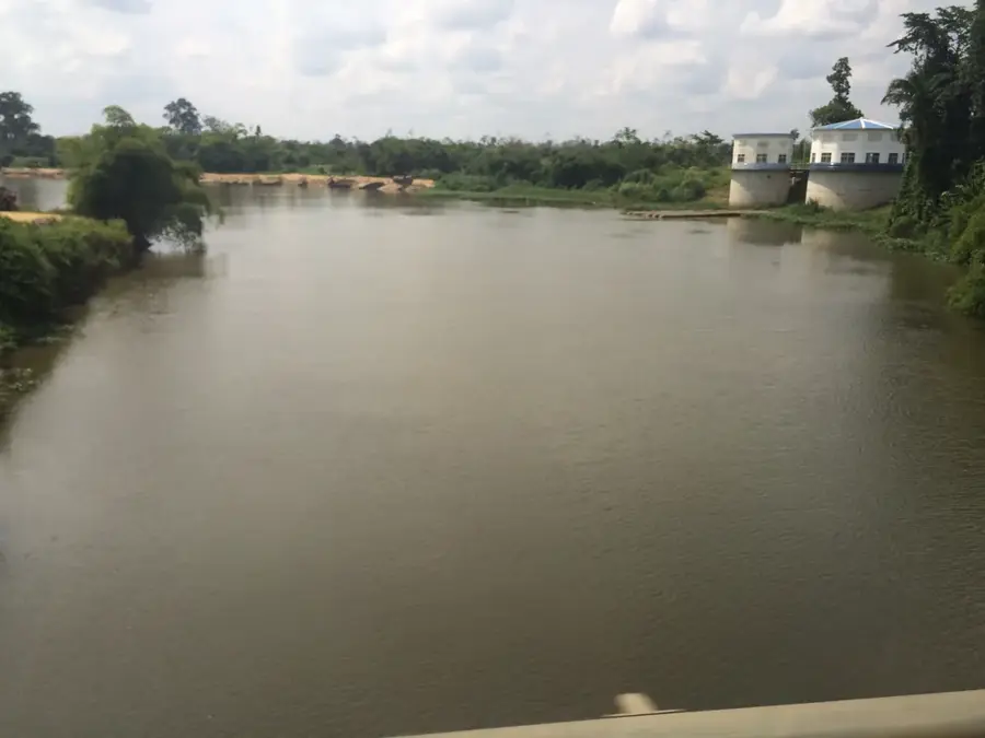
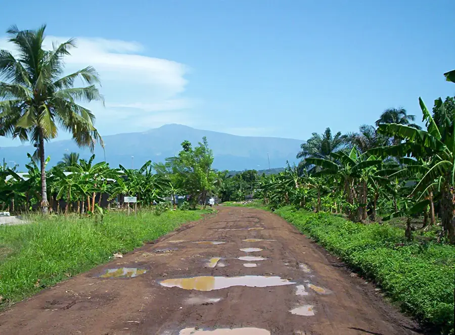
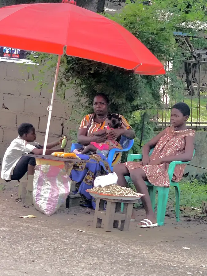
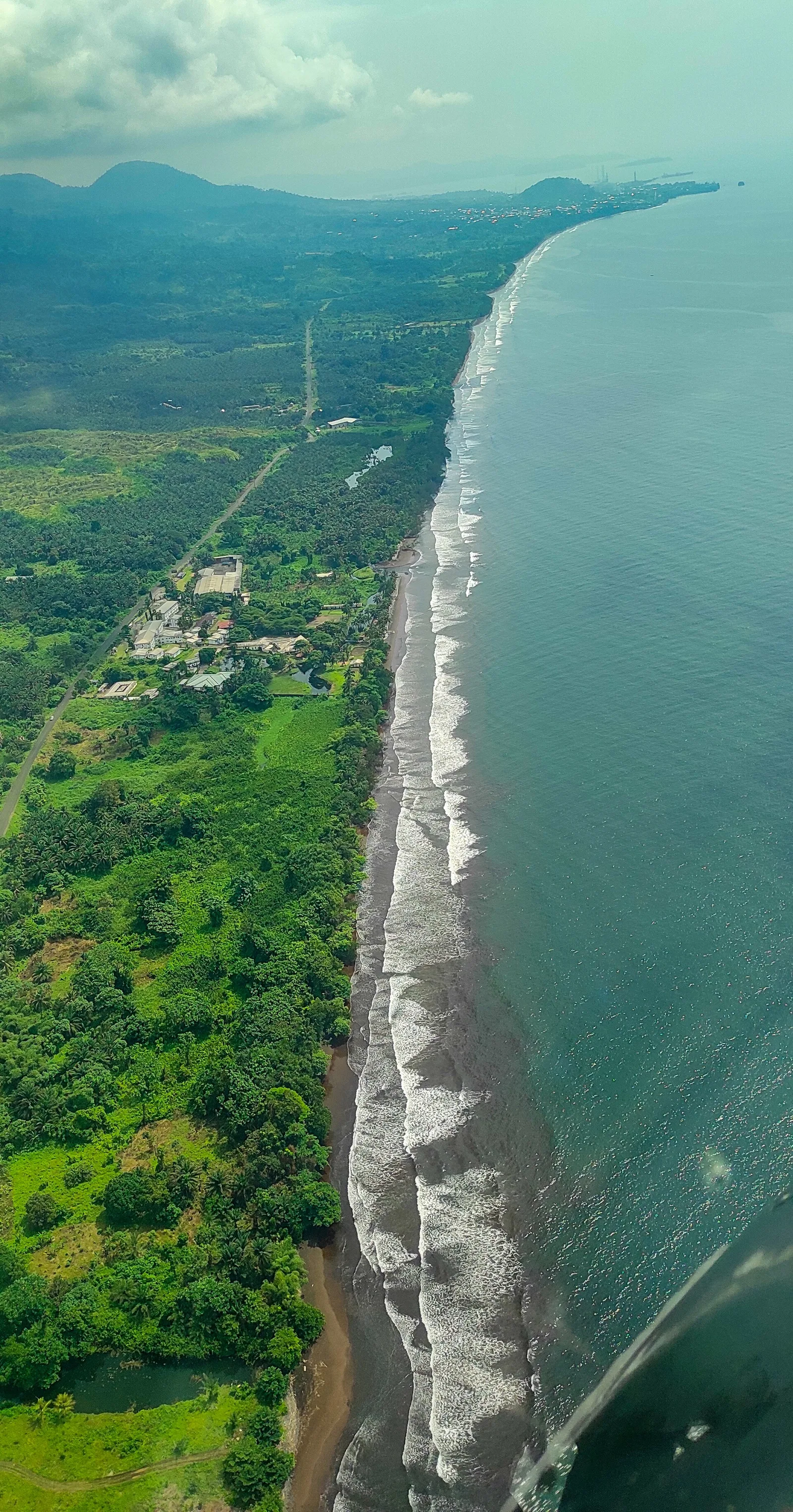
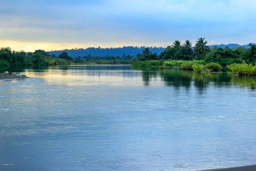
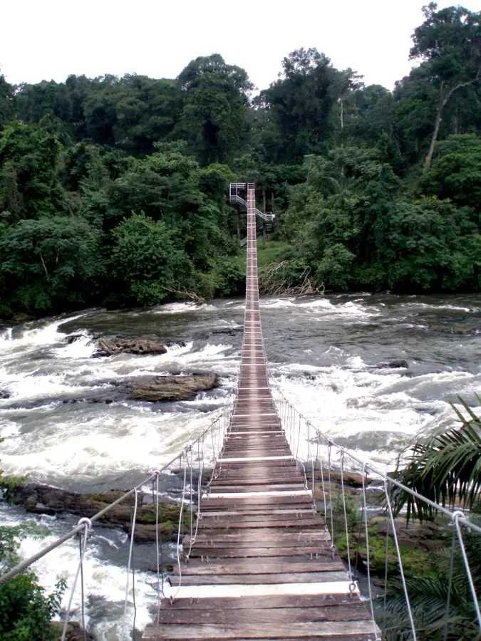
The Mungo River is a historically and politically significant waterway in western Cameroon, stretching approximately 150 kilometers in length. It gained international prominence as the official boundary between the French and British League of Nations mandates following World War I. Geographically, the river originates in the Rumpi Hills and flows southward, forming the administrative border between the modern Littoral and Southwest regions. The fertile plains along the Mungo have been centers of agricultural production since the colonial era, hosting massive rubber, cocoa, and banana plantations. Ecologically, the river supports diverse fish populations and crocodiles, while its discharge into the Cameroon Estuary sustains vital mangrove ecosystems. The construction of the bridge over the Mungo River was a landmark achievement in unifying the transport infrastructure between the English-speaking and French-speaking sectors of the nation.
- Location: Cameroon
- Nearby: Tiko (17 km)
Best time to visit & climate
The most pleasant time to visit is Jan, Feb, Dec.
| Jan | Feb | Mar | Apr | May | Jun | Jul | Aug | Sep | Oct | Nov | Dec | |
|---|---|---|---|---|---|---|---|---|---|---|---|---|
| Avg °C | 27 | 27 | 27 | 27 | 26 | 25 | 25 | 24 | 25 | 25 | 26 | 26 |
| Rain mm | 32 | 76 | 149 | 194 | 208 | 330 | 366 | 393 | 381 | 249 | 147 | 28 |
📋 Practical info
Geography
Facts
- The river functioned as an international border from 1916 until 1961.
- The source of the Mungo is in the Rumpi Hills at about 1,100 meters elevation.
- The river's mouth is part of the extensive Cameroon Estuary near Douala.
- The Mungo basin is located in one of the highest rainfall areas in Africa.
- The strategically vital Mungo Bridge collapsed in 2004 and was later rebuilt.
- The river drains a total catchment area exceeding 4,200 square kilometers.
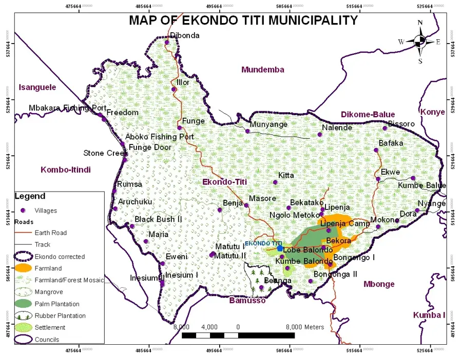
Explore nearby
Notable places around
Route planner — Car & Motorhome
Where do you start? We build the route here, with stops and country notes along the way.
© OpenStreetMap contributors · OpenRouteService
Sights nearby
Frequently asked questions
Which regions does the Mungo River connect?
What is grown along the Mungo River?
Are there bridges over the Mungo?
How is the river's current?
Can you see wildlife there?
Mungo River: where is it located?
Mungo River: when is the best time to visit?
Mungo River: why is it worth visiting?

Nearby cities


History & landmarks

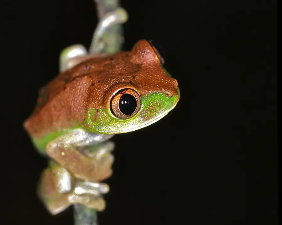
Nature
More places