Plizio Visual Lab
Mungo Marsh
Weather…
Water temperature…
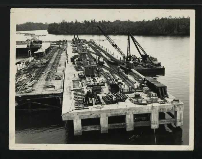
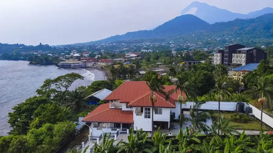
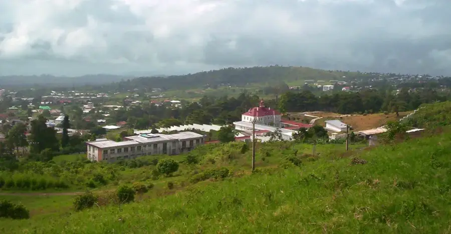
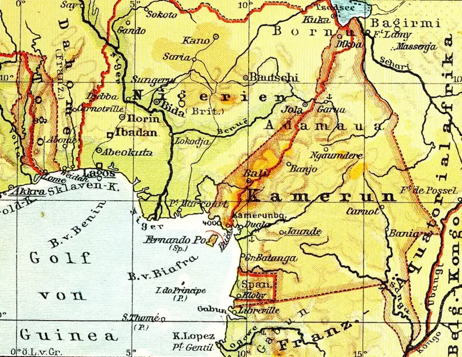
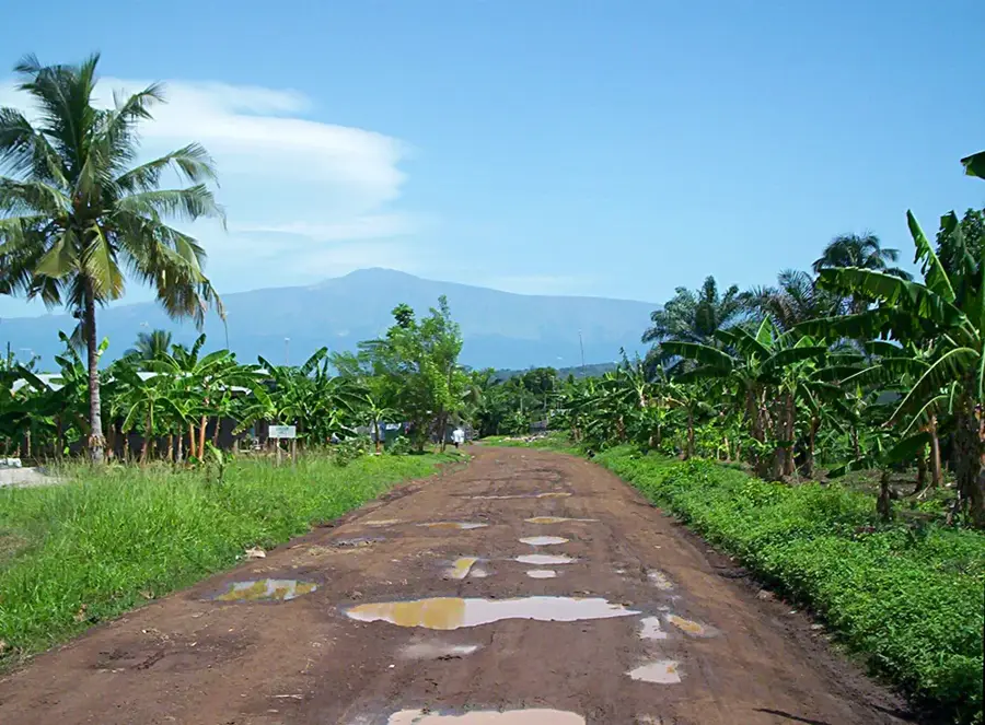
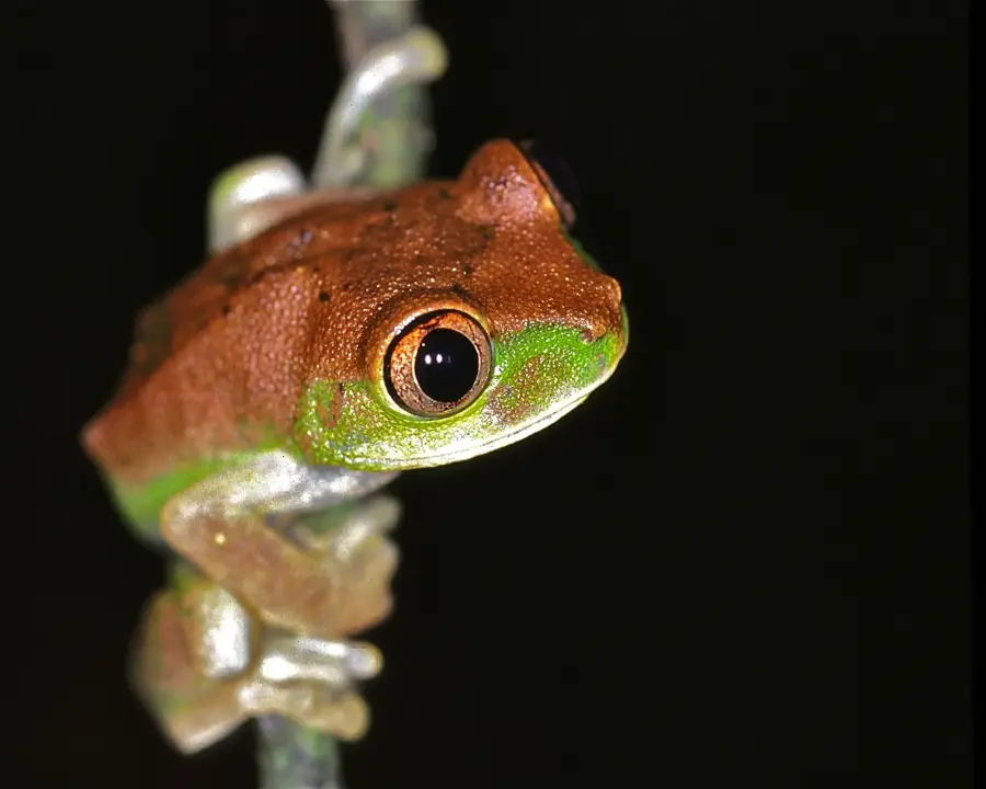
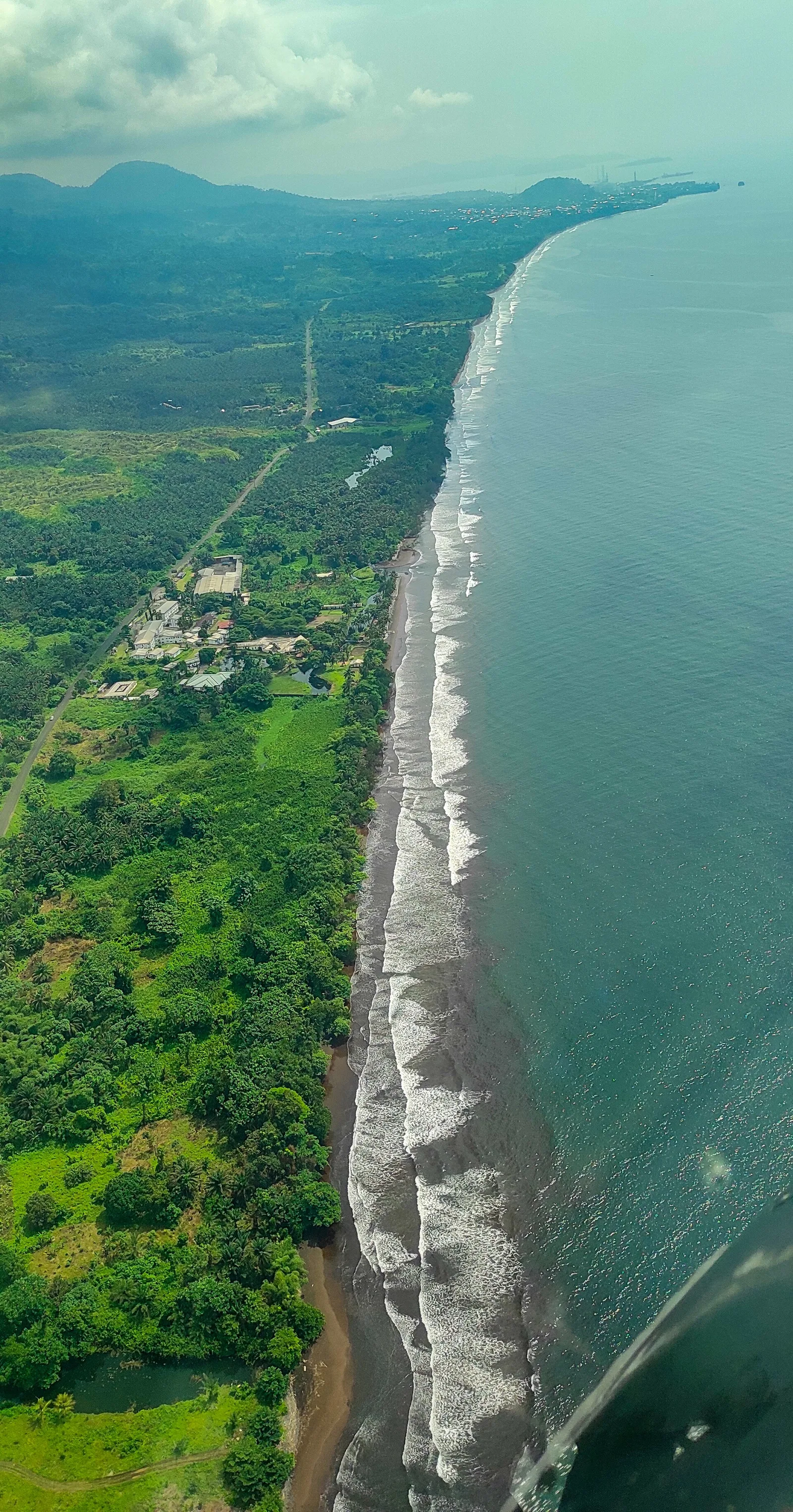
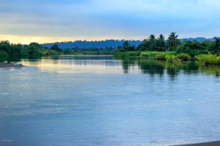
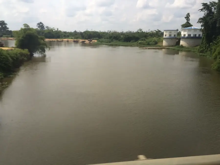
The Mungo marshland extends along the lower Mungo River in Cameroon's Littoral Region and is one of the country's most fertile wetlands. It consists of a mosaic of seasonally flooded grasslands, papyrus swamps, and small riparian forests. During the rainy season, the river swells and floods vast areas of the plain, leading to the deposition of nutrient-rich sediments. This dynamic makes the area a handy habitat for waterfowl and various reptile species, such as the West African dwarf crocodile. For the local population, the marshland is an indispensable source of fish and building materials, particularly reeds for house construction. Agriculture in the peripheral areas benefits from natural irrigation but often conflicts with the preservation of the original wetland flora. The Mungo marshland also functions as a vital carbon sink and contributes to the regulation of the regional microclimate.
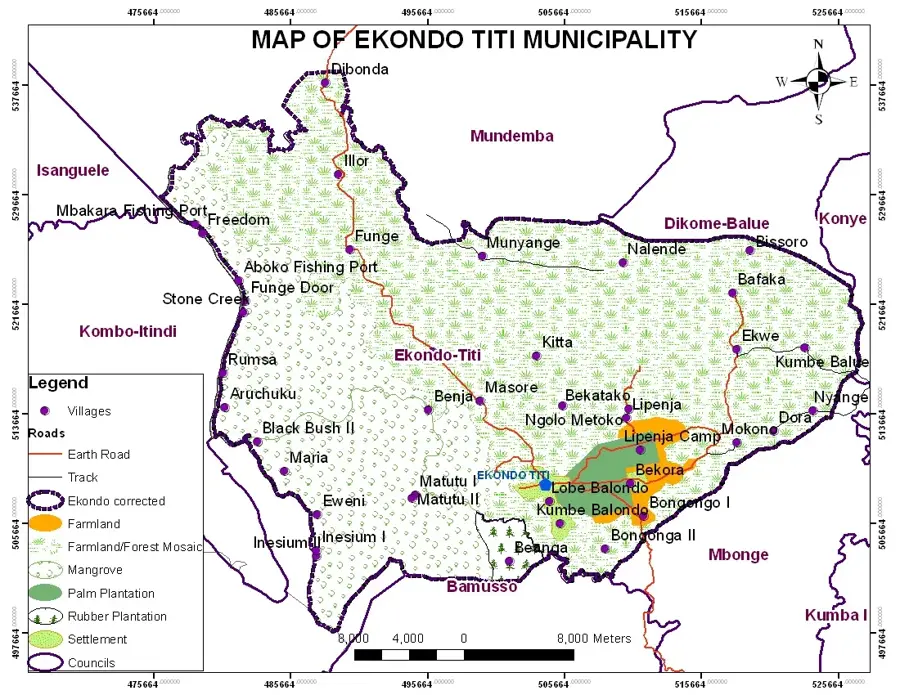
- Location: Cameroon
- Nearby: Tiko (9 km)
Best time to visit & climate
The most pleasant time to visit is Jan, Feb, Dec.
| Jan | Feb | Mar | Apr | May | Jun | Jul | Aug | Sep | Oct | Nov | Dec | |
|---|---|---|---|---|---|---|---|---|---|---|---|---|
| Avg °C | 27 | 27 | 27 | 27 | 26 | 25 | 25 | 24 | 25 | 25 | 26 | 26 |
| Rain mm | 32 | 76 | 149 | 194 | 208 | 330 | 366 | 393 | 381 | 249 | 147 | 28 |
📋 Practical info
Geography
Facts
- The Mungo River originates in the Manengouba Mountains
- Seasonal floods reach depths of up to 3 meters
- Habitat for the endangered West African dwarf crocodile
- Important site for rice cultivation in the region
- Papyrus plants dominate the lower-lying zones
- Home to over 150 different bird species
Explore nearby
Notable places around
Route planner — Car & Motorhome
Where do you start? We build the route here, with stops and country notes along the way.
© OpenStreetMap contributors · OpenRouteService
Sights nearby
Frequently asked questions
Are boat trips possible in the Mungo Marsh?
Is there a malaria risk in Mungo Marsh?
What flora dominates the marsh area?
Can you fish in the Mungo Marsh?
What is the weather like in the Mungo Basin?
Mungo Marsh: where is it located?
Mungo Marsh: when is the best time to visit?
Mungo Marsh: why is it worth visiting?

Nearby cities


History & landmarks

Nature
More places