Plizio Visual Lab
Mutengene

ℹ️Practical info — Mutengene
▾
🌤 Weather — 5 days
📍 Nearby
Sights nearby
💡 Tips
- Traffic at the main Mutengene intersection can be chaotic; stay alert when crossing the roads.
- English is widely spoken here, making communication straightforward for English-speaking travellers.
- Visit local plantations early in the day to see workers harvesting tea or coffee.
- The climate is pleasant but can get rainy; always carry an umbrella.
🍽 Food
A classic regional dish available in traditional restaurants along the main road.
Find small cafes near the plantations serving locally grown and roasted coffee.
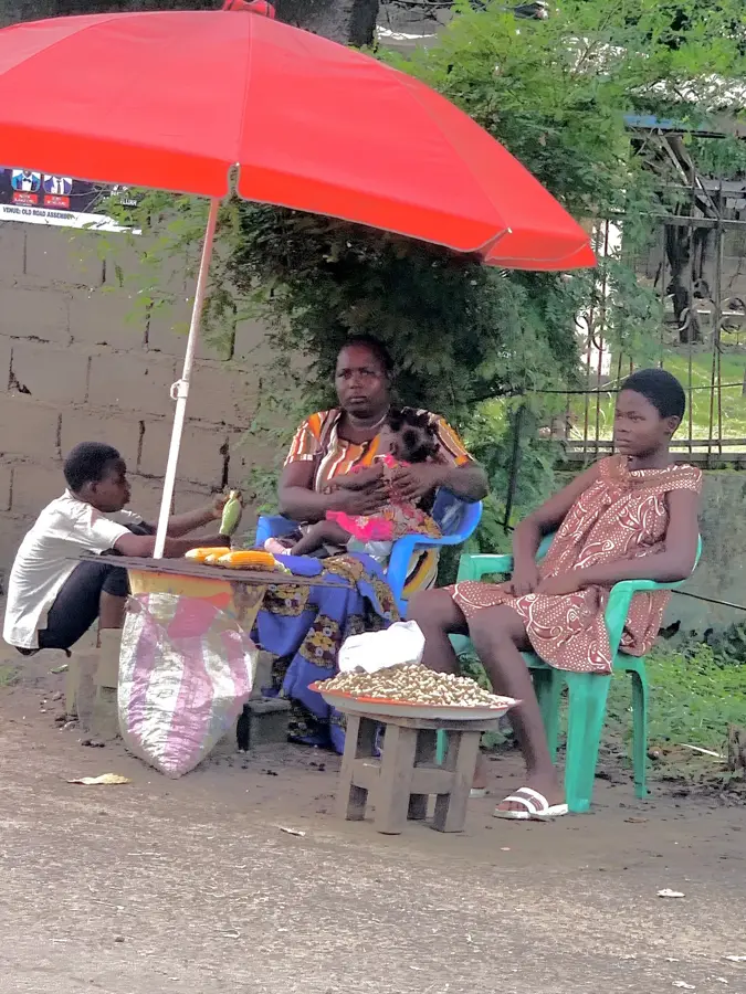
Grab some spicy meat skewers from the vendors near the bustling main junction.
🛍 Shopping · 🧘 Quiet spots
The best place to buy fresh tea leaves and locally harvested coffee beans.
Pick up abundant tropical fruits like bananas and pineapples directly from farmers.
Enjoy calm walks among the endless green bushes just outside the city center.
A short drive away, offering a beautiful and peaceful retreat from the busy junction.
Water temperature…
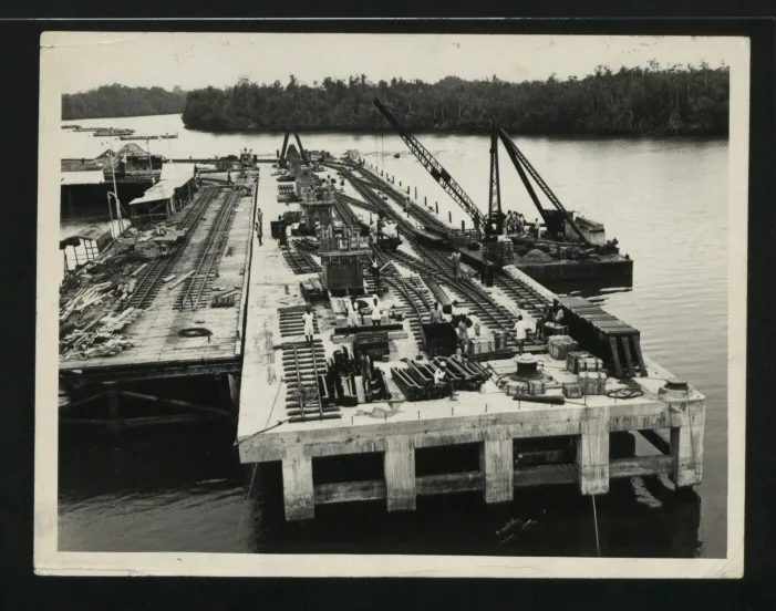
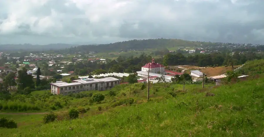
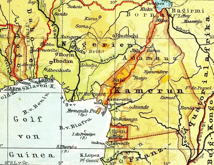
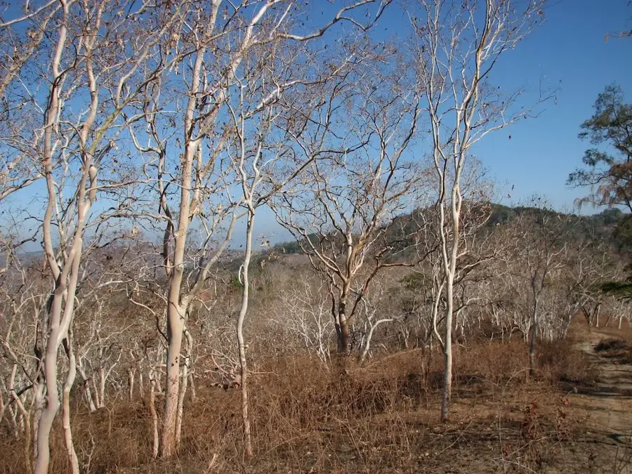
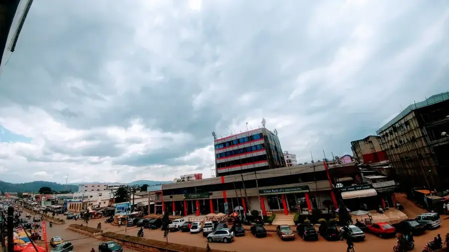
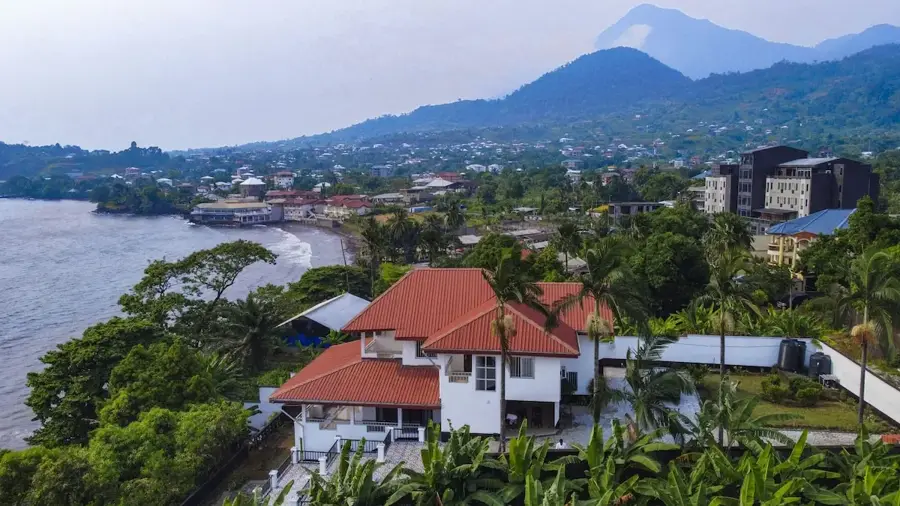
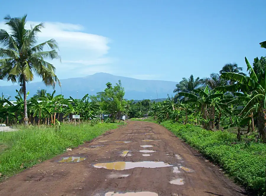
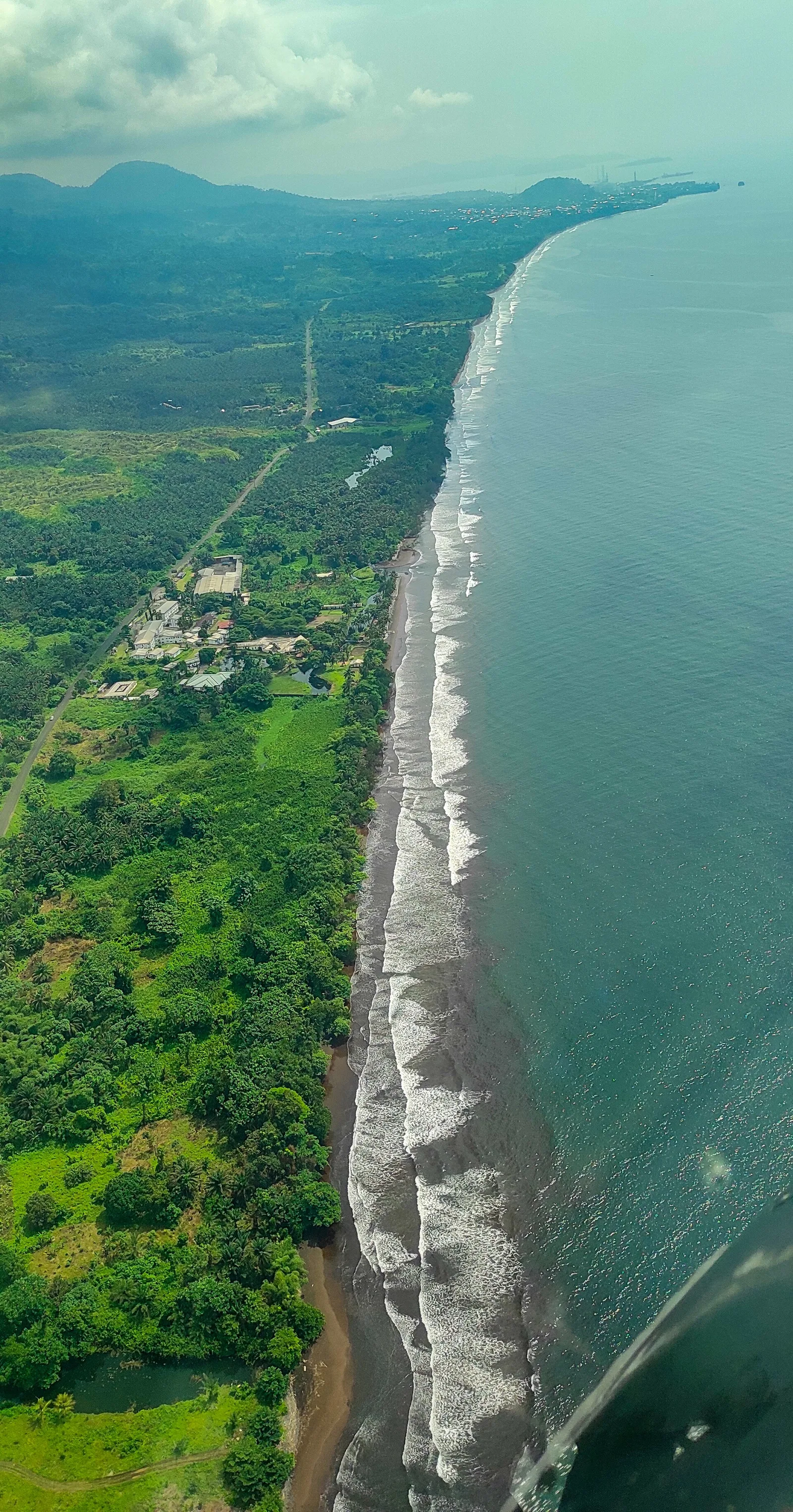
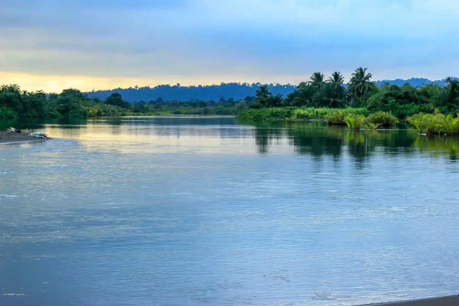
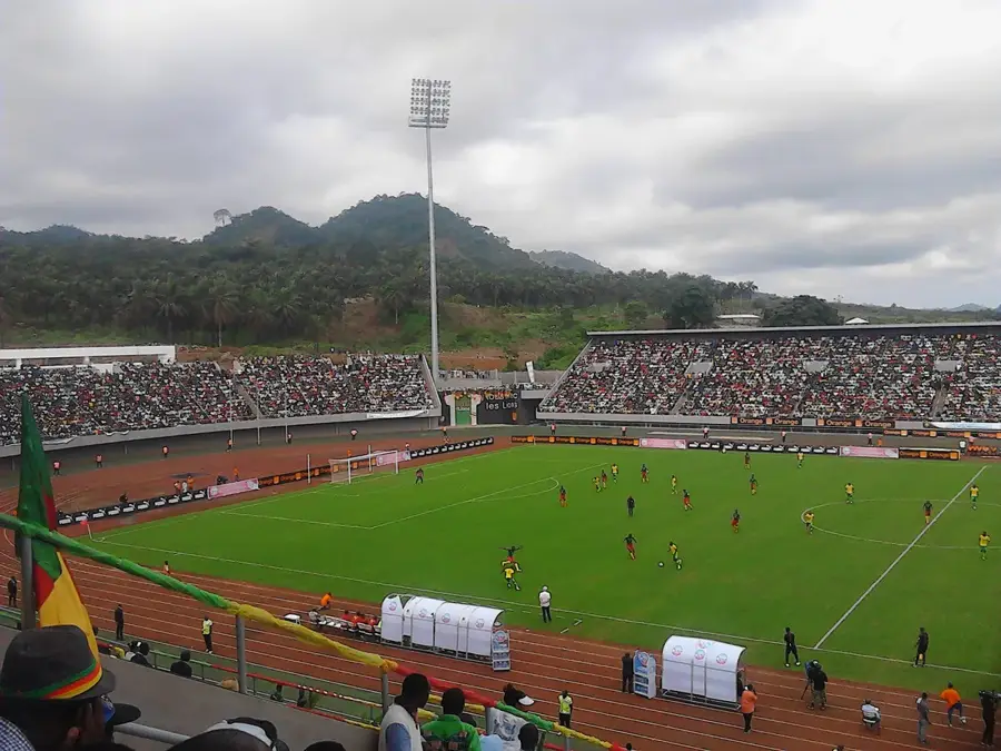
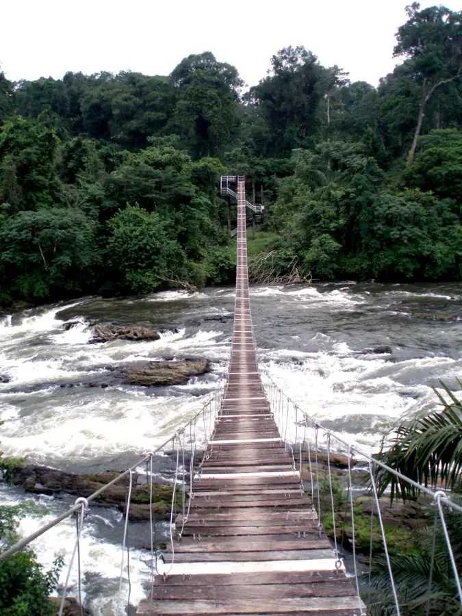
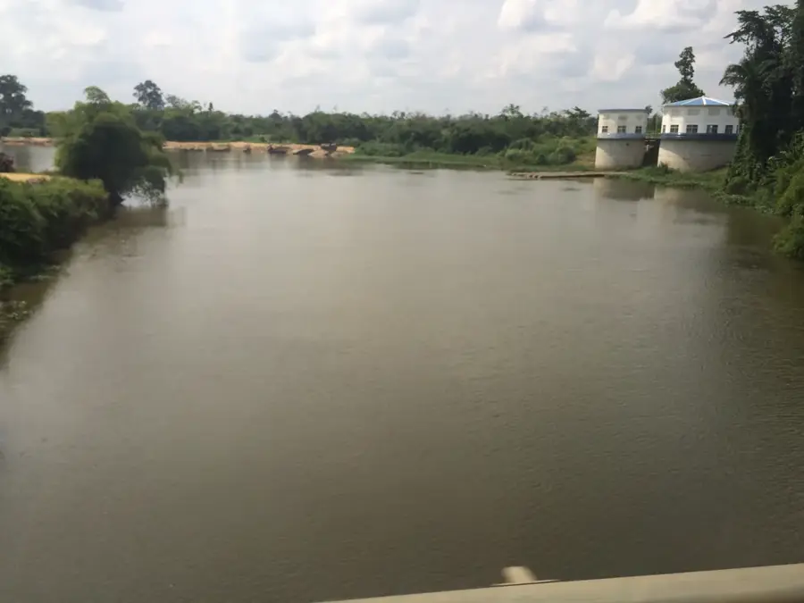
Mutengene lies in south-western Cameroon between Buea and Tiko at the crossroads of the main highways to Douala, Limbe and Kumba. With about 50 000 inhabitants, the town acts as a busy transport hub and a suburb of the university city of Buea, earning the nickname 'gateway to Mount Cameroon'. Its lively market supplies a growing commuter population with food, textiles, small electronics and car parts. The economy is based on the CDC banana, palm-oil and rubber plantations, complemented by construction, transport and hospitality. Highlights include the Mutengene bridge over the Mile 2 stream, the Mile 4 market, the episcopal college and the viewpoints overlooking Mount Cameroon. The Anglophone population is predominantly Bakweri and Bafaw, along with a growing Francophone Bamiléké community. The humid tropical climate fosters lush vegetation along the volcanic slopes.
- Location: Cameroon
- Nearby: Tiko (7 km)
- Population: ~64.054 (2023)
Best time to visit & climate
The most pleasant time to visit is Jan, Feb, Dec.
| Jan | Feb | Mar | Apr | May | Jun | Jul | Aug | Sep | Oct | Nov | Dec | |
|---|---|---|---|---|---|---|---|---|---|---|---|---|
| Avg °C | 27 | 27 | 27 | 27 | 26 | 25 | 25 | 24 | 25 | 25 | 26 | 26 |
| Rain mm | 32 | 76 | 149 | 194 | 208 | 330 | 366 | 393 | 381 | 249 | 147 | 28 |
Geography
Facts
- Located strategically between the regional hubs of Buea and Limbe.
- Crucial transport point along the main coastal highway.
- Serves as a bustling commercial center for the surrounding area.
- Proximity to major agro-industrial plantations in the Southwest.
- Fast-growing urban environment with a strong trade presence.
- Key junction for regional commuters and goods transit.
Explore nearby
Notable places around
Route planner — Car & Motorhome
Where do you start? We build the route here, with stops and country notes along the way.
© OpenStreetMap contributors · OpenRouteService
Frequently asked questions
What is Mutengene?
How to get to Mutengene?
When is the best time?
Is it a tourist destination?
What is there to see there?
Mutengene: where is it located?
Mutengene: when is the best time to visit?
Mutengene: why is it worth visiting?

Nearby cities


History & landmarks

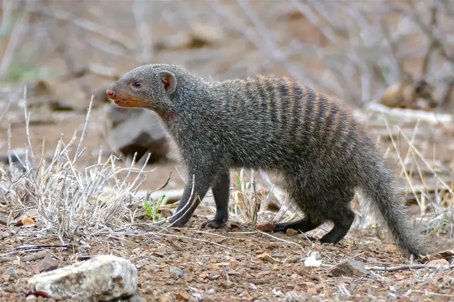
Nature
More places