Plizio Visual Lab
Mundemba
ℹ️Practical info — Mundemba
▾
🌤 Weather — 5 days
📍 Nearby
Sights nearby
Water temperature…
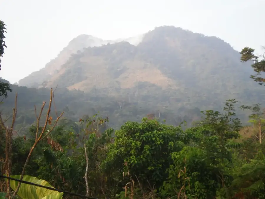
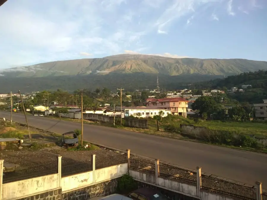
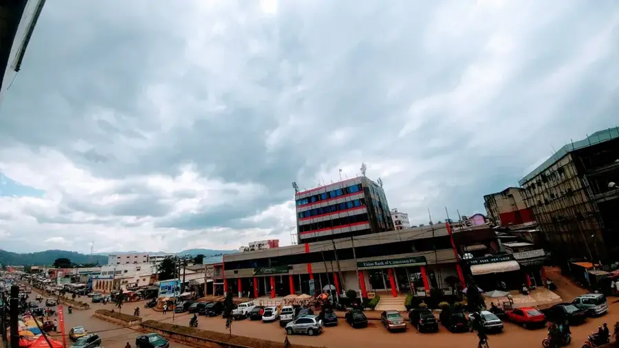
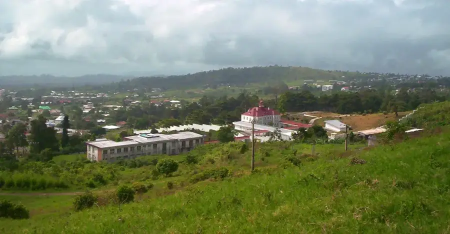
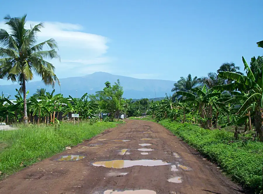
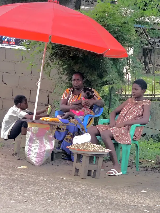
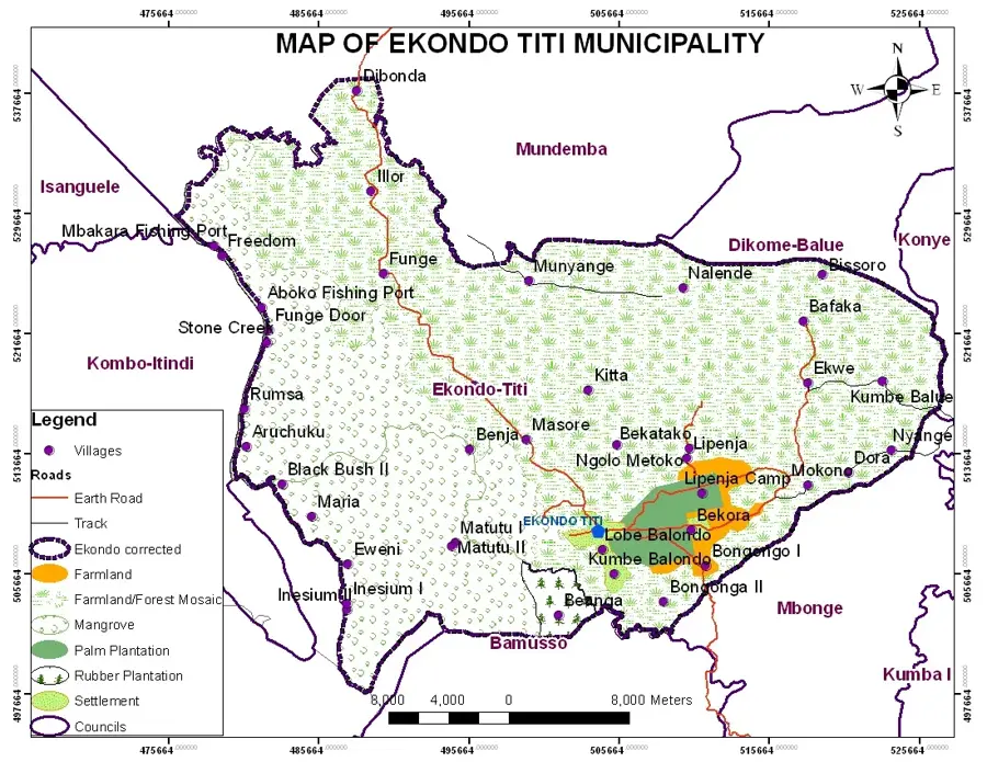
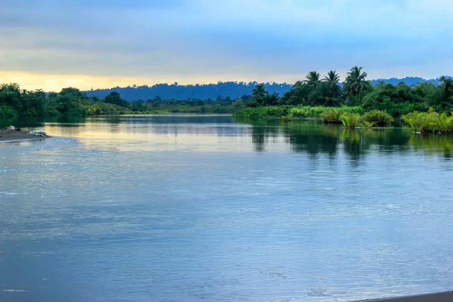
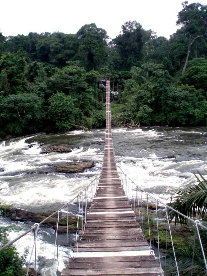
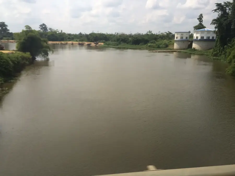
Mundemba functions as the capital of the Ndian Division in the South-West Region of Cameroon. Its geographical location at the edge of the dense equatorial forest makes it the central logistical hub for expeditions into Korup National Park, which protects one of Africa's oldest rainforests. Travelers arrive here to secure permits, hire local guides, and purchase supplies before crossing the Mana River suspension bridge into the jungle. The local economy is heavily influenced by the presence of Pamol Plantations, a major palm oil producer established during the colonial era. The town itself is modest in size, characterized by bustling local markets and small guesthouses catering to conservationists and adventurous hikers. Local dining centers around cassava, plantains, and freshly caught river fish, often prepared in spicy palm oil stews like Eru. The climate is notoriously wet, with the region receiving some of the highest rainfall in Africa, meaning the relatively drier months between December and February are the most practical for visiting. Reaching Mundemba requires a resilient 4x4 vehicle, as the unpaved roads originating from Kumba become extremely muddy and challenging to navigate during the monsoon season. Despite the difficult access, the town has a vital glimpse into rural Cameroonian life and stands as the mandatory first step for anyone wishing to explore the rich biodiversity of the neighboring national park.
- Location: Cameroon
- Nearby: Ekondo Titi (43 km)
- Population: ~11.912 (2012)
Best time to visit & climate
The most pleasant time to visit is Jan, Feb, Dec.
| Jan | Feb | Mar | Apr | May | Jun | Jul | Aug | Sep | Oct | Nov | Dec | |
|---|---|---|---|---|---|---|---|---|---|---|---|---|
| Avg °C | 26 | 27 | 26 | 26 | 26 | 25 | 24 | 24 | 24 | 25 | 25 | 26 |
| Rain mm | 39 | 95 | 176 | 243 | 269 | 450 | 581 | 685 | 532 | 384 | 168 | 23 |
Geography
Facts
- Ndian Division capital
- Korup NP access
- Mana River bridge
- Pamol plantations
- South-West Region
- Dirt road from Kumba
- Eru palm oil stew
- High annual rainfall
Explore nearby
Notable places around
Route planner — Car & Motorhome
Where do you start? We build the route here, with stops and country notes along the way.
© OpenStreetMap contributors · OpenRouteService
Frequently asked questions
Mundemba: where is it located?
Mundemba: when is the best time to visit?
Mundemba: why is it worth visiting?

Nearby cities

History & landmarks


Nature
More places