Plizio Visual Lab
Mount Oissa

Weather…
Water temperature…
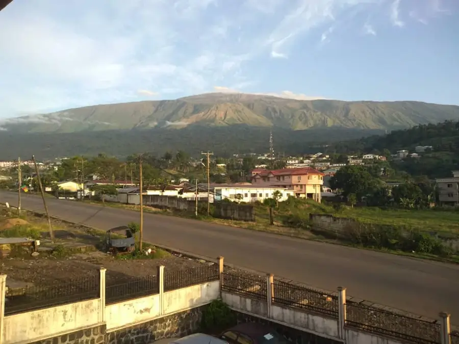
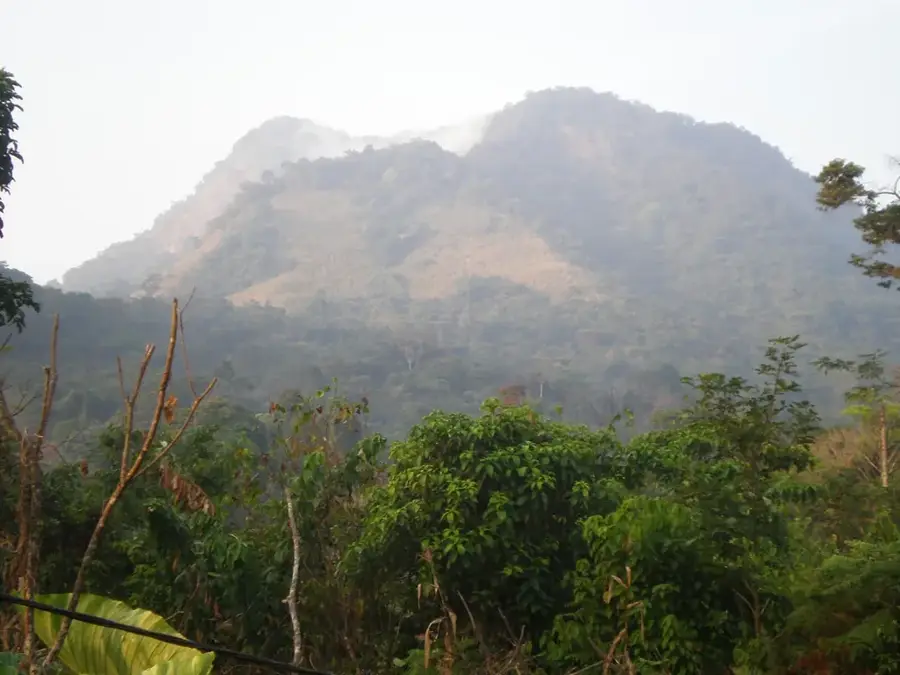
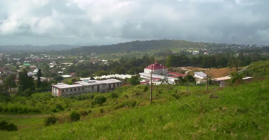
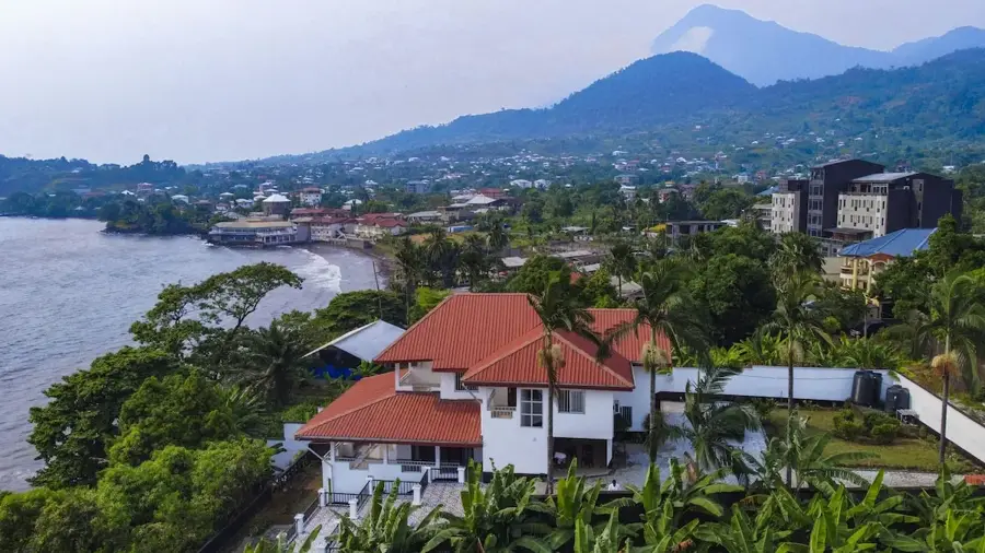
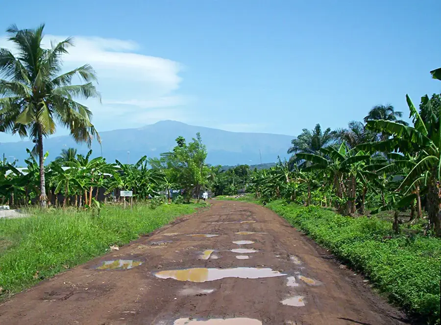
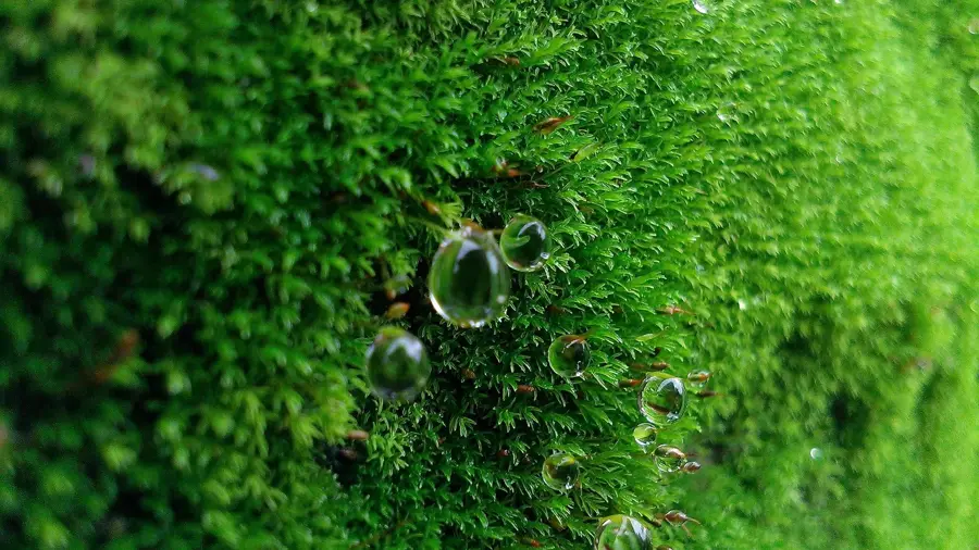
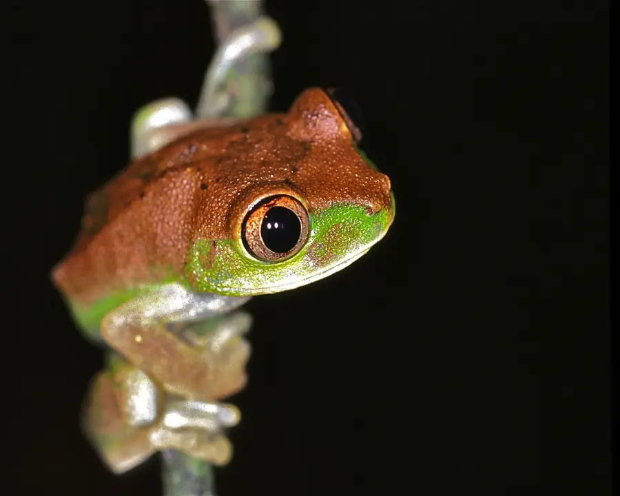
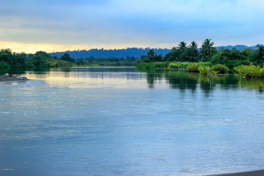
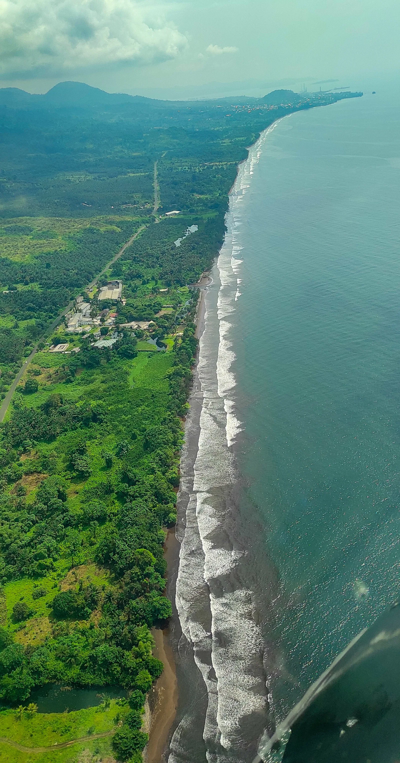
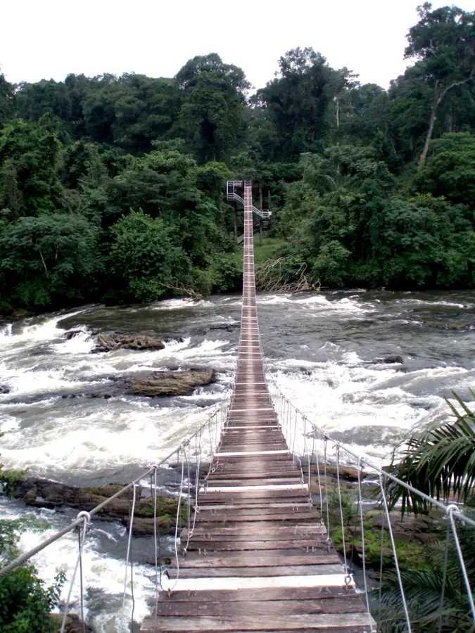
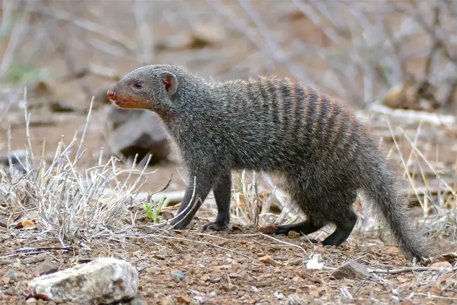
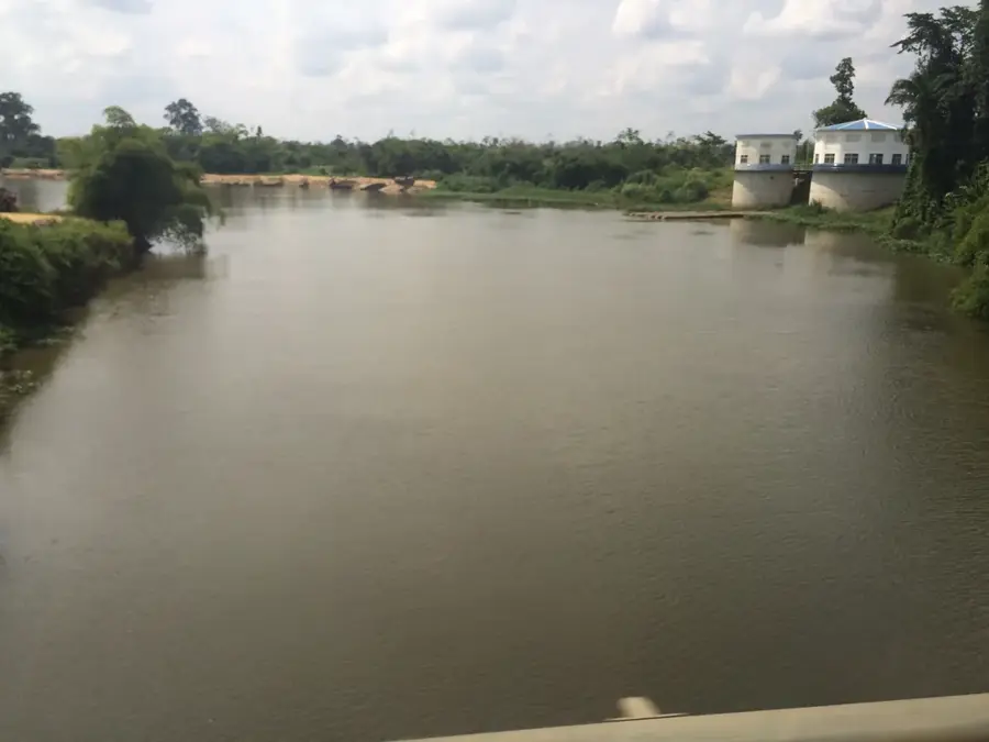
Mount Oissa is the highest peak in the Rumpi Hills of southwestern Cameroon, forming a central part of the regional highland relief. Standing at an elevation of approximately 1,750 meters above sea level, it is situated in a region that ranks among the wettest places on Earth. The torrential rains feed a dense network of streams and rivers that are vital for the water supply of the surrounding lowlands and the nearby Korup National Park. The mountain is cloaked in pristine sub-montane rainforests, which boast a high density of endemic flora and fauna, including rare primates and numerous orchid species. Geologically, Mount Oissa is composed of ancient volcanic rocks that have been shaped by erosion over millions of years. Due to its remote location and difficult terrain, the area has remained largely untouched by human development, serving as a critical sanctuary for endangered species. For local communities, the mountain is not only a primary water source but also a site of traditional customs and enduring legends.
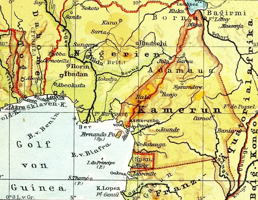
- Location: Cameroon
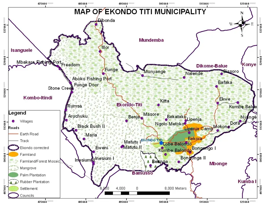
- Nearby: Ekondo Titi (21 km)
Best time to visit & climate
The most pleasant time to visit is Jan, Feb, Dec.
| Jan | Feb | Mar | Apr | May | Jun | Jul | Aug | Sep | Oct | Nov | Dec | |
|---|---|---|---|---|---|---|---|---|---|---|---|---|
| Avg °C | 27 | 28 | 28 | 28 | 27 | 26 | 25 | 25 | 25 | 26 | 27 | 27 |
| Rain mm | 37 | 87 | 171 | 218 | 233 | 450 | 621 | 733 | 555 | 336 | 173 | 30 |
📋 Practical info
Geography
Facts
- Mount Oissa is the highest point in the Rumpi Hills at 1,750 meters.
- The region records up to 10,000 mm of annual rainfall in some years.
- The area is a critical water catchment for the Korup National Park.
- The mountain hosts an impressive variety of rare butterfly species.
- Ancient basalt formations provide evidence of the region's volcanic history.
- Reaching the summit is extremely difficult due to dense forest and rain.
Explore nearby
Notable places around
Route planner — Car & Motorhome
Where do you start? We build the route here, with stops and country notes along the way.
© OpenStreetMap contributors · OpenRouteService
Sights in the town Mount Oissa (1)
Sights nearby
Frequently asked questions
Where is Mount Oissa located?
Are there marked hiking trails?
What is special about the vegetation?
Can you camp on the mountain?
How is the accessibility?
Mount Oissa: where is it located?
Mount Oissa: when is the best time to visit?
Mount Oissa: why is it worth visiting?

Nearby cities

History & landmarks

Nature
More places