Plizio Visual Lab
Sanaga Basin
Weather…
Water temperature…
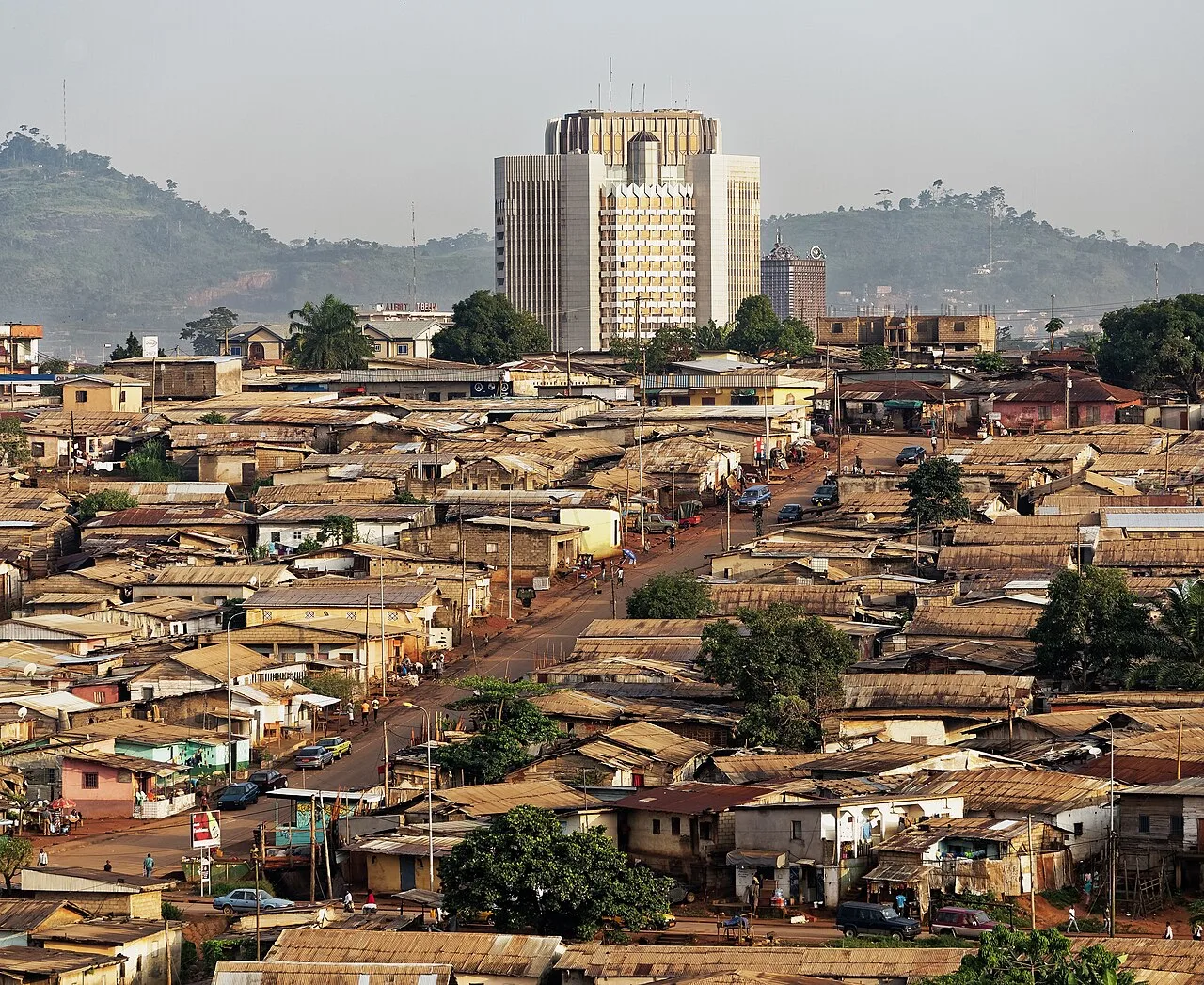
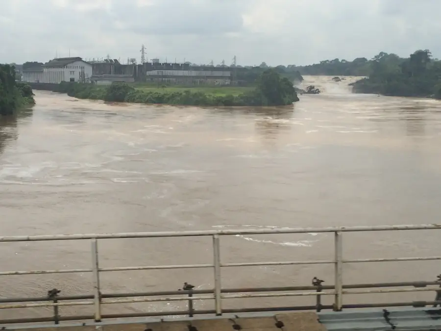
The Sanaga Basin is the largest drainage system in Cameroon, covering an area of approximately 133,000 square kilometers, which constitutes nearly a quarter of the national territory. The central river, the Sanaga, stretches for 918 kilometers, making it the most significant waterway in the country, fed primarily by the Djérem and Lom rivers originating on the Adamawa Plateau. The basin extends from the central highlands to the Atlantic Ocean, where the river discharges through a massive estuary south of Douala. Economically, the Sanaga Basin is of paramount importance as the hub of Cameroon's hydroelectric power generation; major dams such as Édéa and Song Loulou supply the majority of the nation's electricity. Geographically, the basin encompasses a wide variety of ecosystems, ranging from northern gallery forests and savannas to dense southern tropical rainforests. The recent completion of the Lom Pangar dam has enhanced water flow regulation and significantly increased the overall energy capacity of the entire basin.
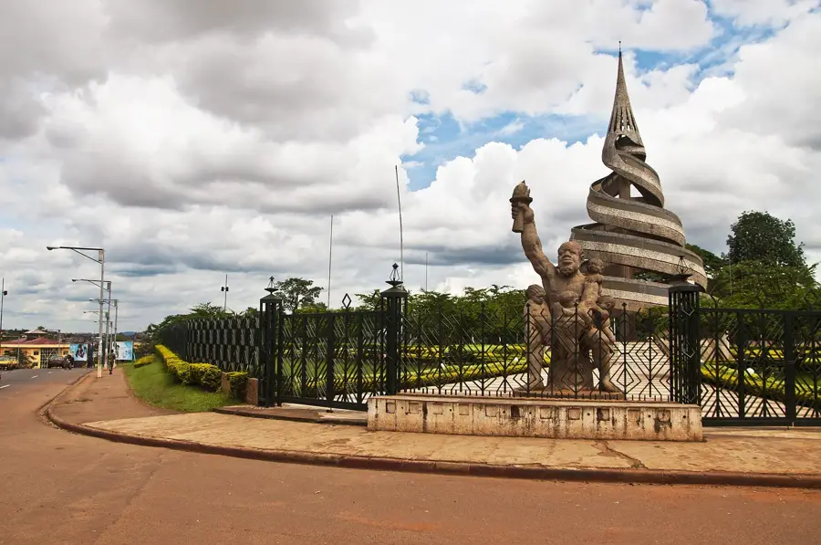
- Location: Cameroon
- Nearby: Obala (19 km)
Best time to visit & climate
The most pleasant time to visit is Jan, Feb, Dec.
| Jan | Feb | Mar | Apr | May | Jun | Jul | Aug | Sep | Oct | Nov | Dec | |
|---|---|---|---|---|---|---|---|---|---|---|---|---|
| Avg °C | 24 | 25 | 25 | 24 | 24 | 23 | 23 | 23 | 23 | 23 | 24 | 24 |
| Rain mm | 14 | 40 | 117 | 164 | 149 | 119 | 115 | 169 | 212 | 231 | 126 | 18 |
📋 Practical info
Geography
Facts
- The Sanaga is the longest river located entirely within Cameroon at 918 km.
- The basin encompasses roughly 25% of Cameroon's total land area.
- The Édéa power station was the first major hydroelectric project in the country.
- The Lom Pangar dam helps regulate river flow during the dry season.
- The Sanaga mouth forms an ecologically rich estuary on the Atlantic coast.
- Industrial hubs like the ALUCAM aluminum smelter rely on Sanaga's power.
Explore nearby
Notable places around
Route planner — Car & Motorhome
Where do you start? We build the route here, with stops and country notes along the way.
© OpenStreetMap contributors · OpenRouteService
Sights nearby
Frequently asked questions
What is the significance of the Sanaga Basin?
Are there nature reserves in the basin?
Can you navigate the Sanaga River?
Which city lies in the heart of the basin?
When is the best time to travel?
Sanaga Basin: where is it located?
Sanaga Basin: when is the best time to visit?
Sanaga Basin: why is it worth visiting?

Nearby cities
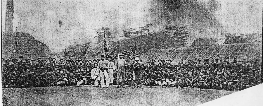

History & landmarks

More places