Plizio Visual Lab
Nyong Lowland
Weather…
Water temperature…
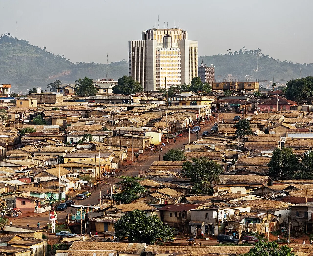
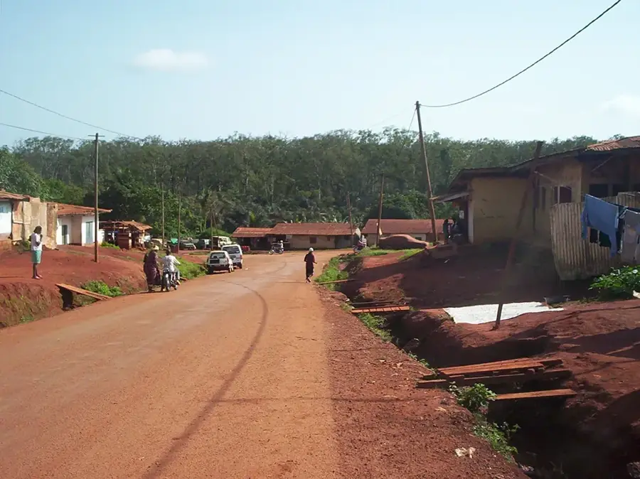
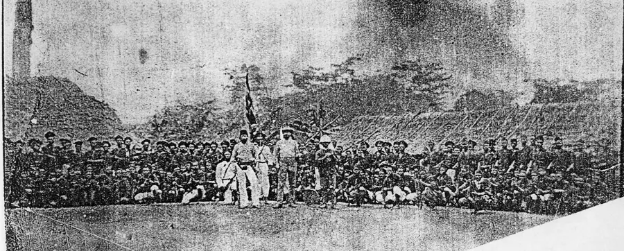
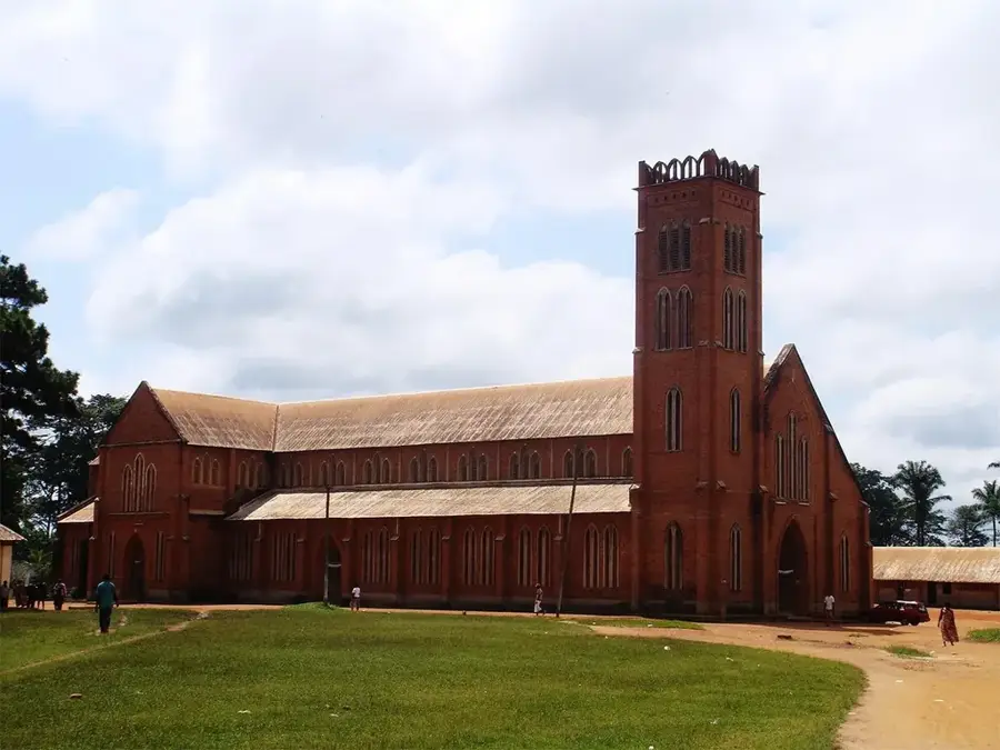
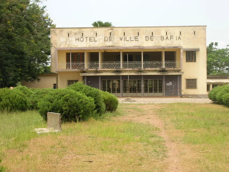
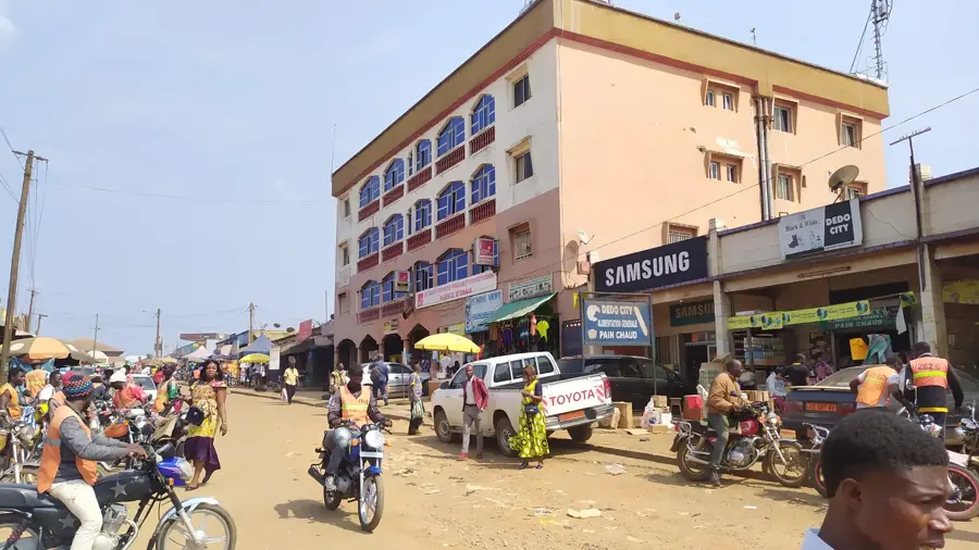
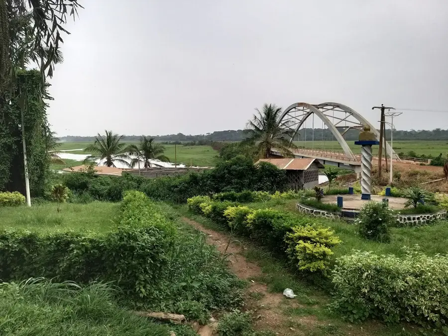
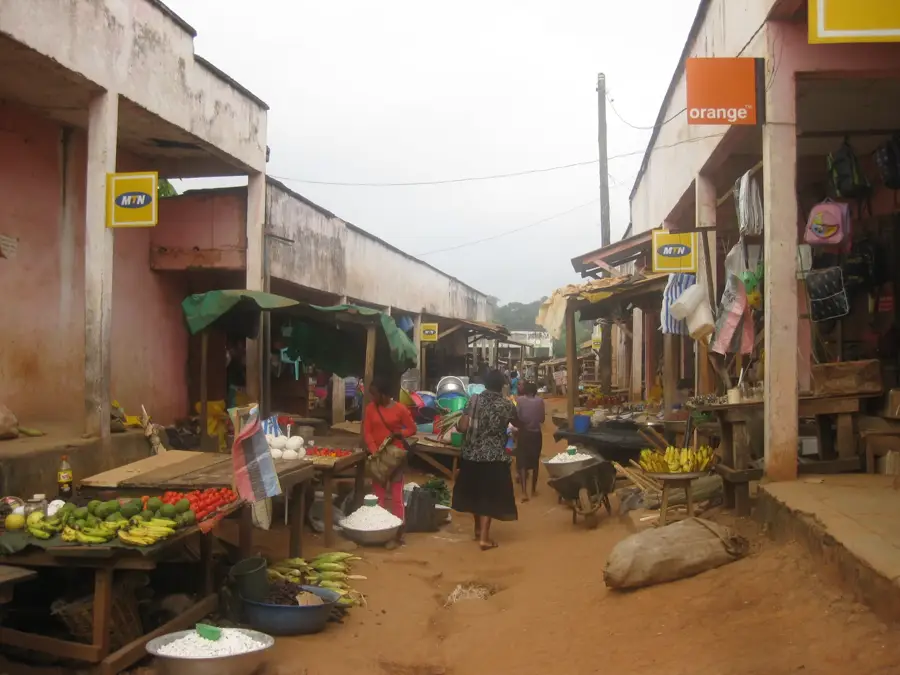
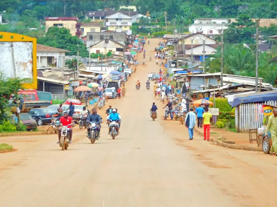
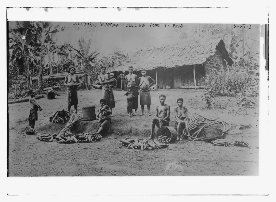
The Nyong Lowland spans the Centre and Sud regions of Cameroon and is significantly shaped by the Nyong River, which is considered one of the country's most important waterways. The relief is largely flat to gently undulating, situated at an average elevation of about 600 to 700 meters on the South Cameroon Plateau. Characteristic of this region are extensive marshlands and gallery forests that thrive along the river's course. Geologically, the substrate consists of crystalline rocks covered by thick layers of laterite. Historically, the Nyong Lowland played an important role in the slave and ivory trade during the 19th century, and later for cocoa cultivation under German and French colonial rule. The humid and hot equatorial climate ensures a year-round flow of the Nyong, making the region a center for inland fishing. Nearby important towns like Akonolinga and Mbalmayo serve as trade hubs for forestry products.
- Location: Cameroon
- Nearby: Eseka (31 km)
Best time to visit & climate
The most pleasant time to visit is Jan, Feb, Dec.
| Jan | Feb | Mar | Apr | May | Jun | Jul | Aug | Sep | Oct | Nov | Dec | |
|---|---|---|---|---|---|---|---|---|---|---|---|---|
| Avg °C | 24 | 25 | 24 | 24 | 24 | 23 | 22 | 22 | 22 | 23 | 23 | 24 |
| Rain mm | 16 | 42 | 127 | 172 | 155 | 122 | 113 | 168 | 221 | 236 | 136 | 21 |
📋 Practical info
Geography
Facts
- The Nyong River is approximately 640 kilometers long.
- The region is located on the South Cameroon Plateau.
- Akonolinga and Mbalmayo are the most prominent towns.
- The soil consists of iron-rich laterite layers.
- Marshlands cover extensive parts of the lowland area.
- The region is a primary cocoa-growing area in Cameroon.
Explore nearby
Notable places around
Route planner — Car & Motorhome
Where do you start? We build the route here, with stops and country notes along the way.
© OpenStreetMap contributors · OpenRouteService
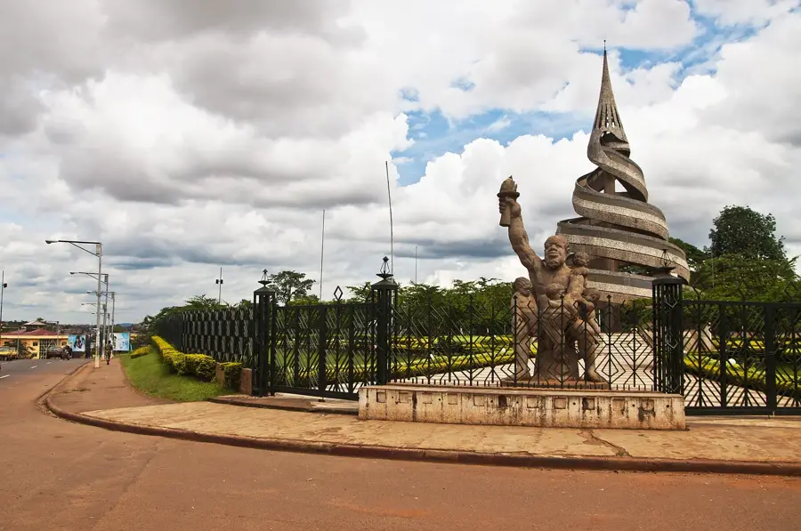
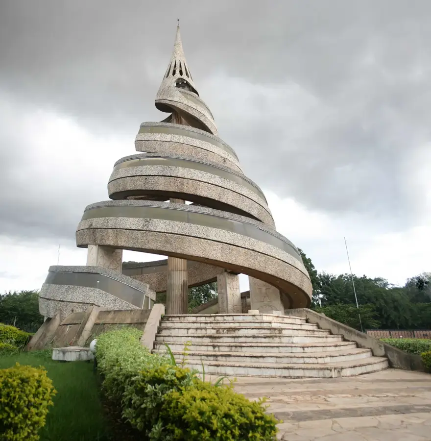
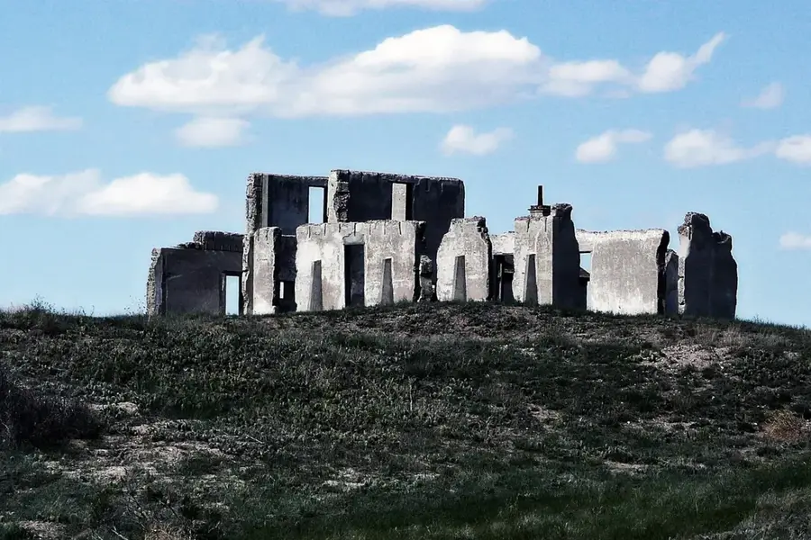
Sights nearby
Frequently asked questions
What is the Nyong Lowland?
What can you do in Ebogo?
What fish are in the Nyong?
Is the lowland prone to malaria?
What is the vegetation like?
Nyong Lowland: where is it located?
Nyong Lowland: when is the best time to visit?
Nyong Lowland: why is it worth visiting?

Nearby cities

History & landmarks


More places