Plizio Visual Lab
Mount Cene

Weather…
Water temperature…
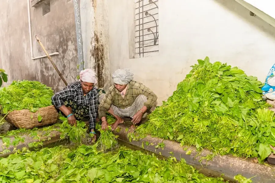
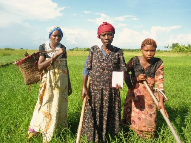
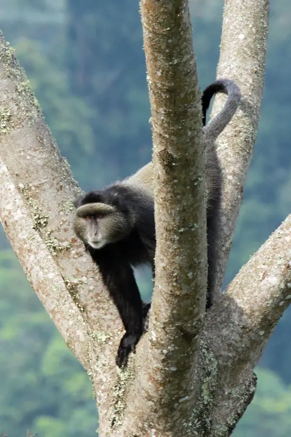
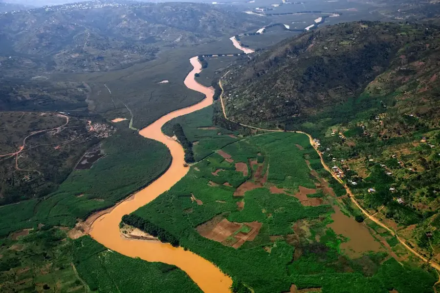
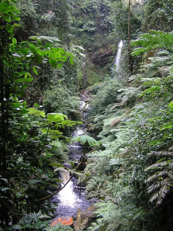
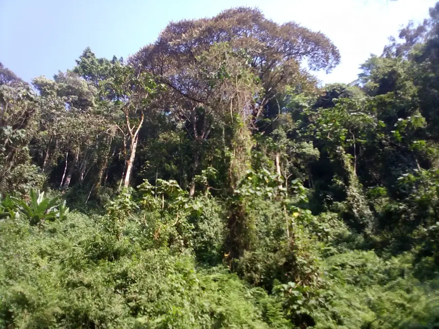
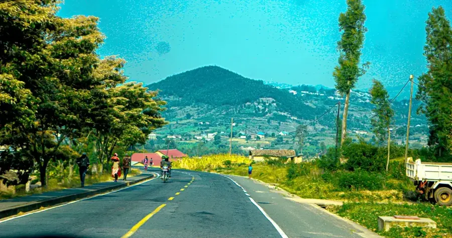
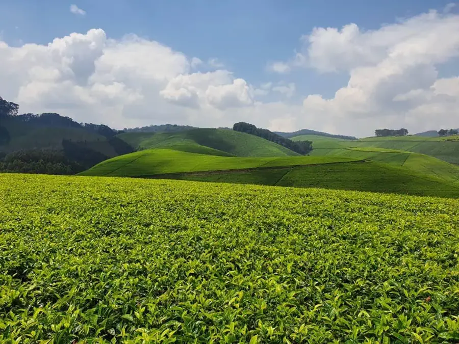
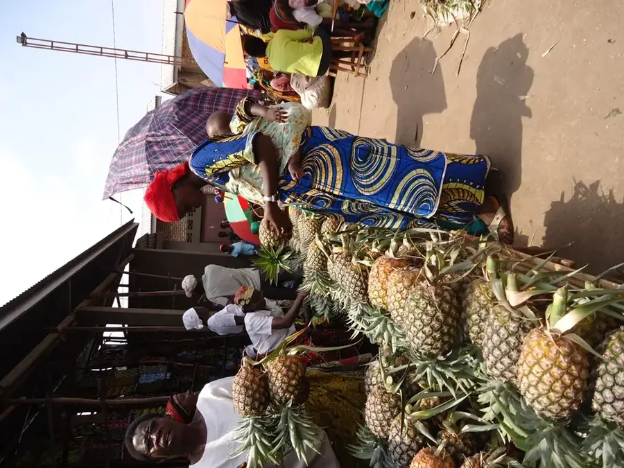
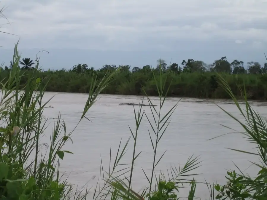
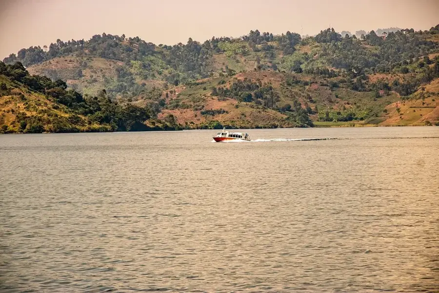
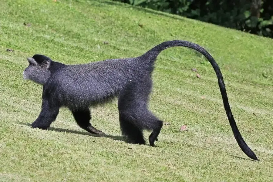
Mount Cene is a prominent elevation in the central highlands of Burundi and serves as a significant part of the Congo-Nile drainage divide. With an estimated elevation of approximately 2,500 meters above sea level, the massif shapes the regional topography and influences the local microclimate through increased rainfall. Its geological structure consists primarily of Precambrian metamorphic rocks, characteristic of the East African basement complex. The lower slopes are intensively cultivated for highland coffee and tea, which are central pillars of the local agrarian economy. Original montane flora remains in protected pockets, hosting various endemic plant species that have survived agricultural expansion. Mount Cene acts as a vital watershed, feeding numerous streams essential for irrigating the surrounding valleys throughout the year. Reaching the summit provides expansive views over Burundi's rolling plateaus, making it a point of interest for regional hikers and researchers. Historically, the area around the mountain was a center for traditional Burundian society and settlement patterns.
- Location: Burundi
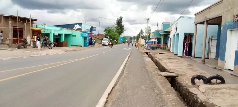
- Nearby: Rugombo (19 km)
Best time to visit & climate
The most pleasant time to visit is Jun–Aug.
| Jan | Feb | Mar | Apr | May | Jun | Jul | Aug | Sep | Oct | Nov | Dec | |
|---|---|---|---|---|---|---|---|---|---|---|---|---|
| Avg °C | 18 | 19 | 19 | 18 | 18 | 17 | 17 | 18 | 19 | 19 | 18 | 18 |
| Rain mm | 159 | 141 | 197 | 181 | 112 | 52 | 31 | 73 | 127 | 188 | 265 | 180 |
📋 Practical info
Geography
Facts
- The peak reaches an elevation of approximately 2,500 meters above sea level.
- The mountain is part of the high central African mountain range.
- It sits on the continental divide between the Congo and Nile basins.
- Its geology is defined by ancient Precambrian rock formations.
- Large tea plantations dominate the landscape on the lower slopes.
- Numerous springs on the mountain secure the region's water supply.
Explore nearby
Notable places around
Route planner — Car & Motorhome
Where do you start? We build the route here, with stops and country notes along the way.
© OpenStreetMap contributors · OpenRouteService
Sights nearby
Frequently asked questions
What is characteristic of Cene Mountain?
Is there agricultural use there?
Is the mountain developed for tourism?
How is the temperature on Cene?
Are there waterfalls on the mountain?
Mount Cene: where is it located?
Mount Cene: when is the best time to visit?
Mount Cene: why is it worth visiting?

Nearby cities

History & landmarks

Nature

More places