Plizio Visual Lab
Mount Twinyoni

Weather…
Water temperature…
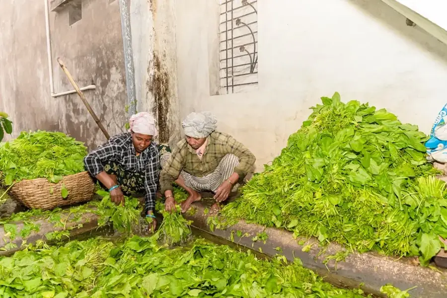
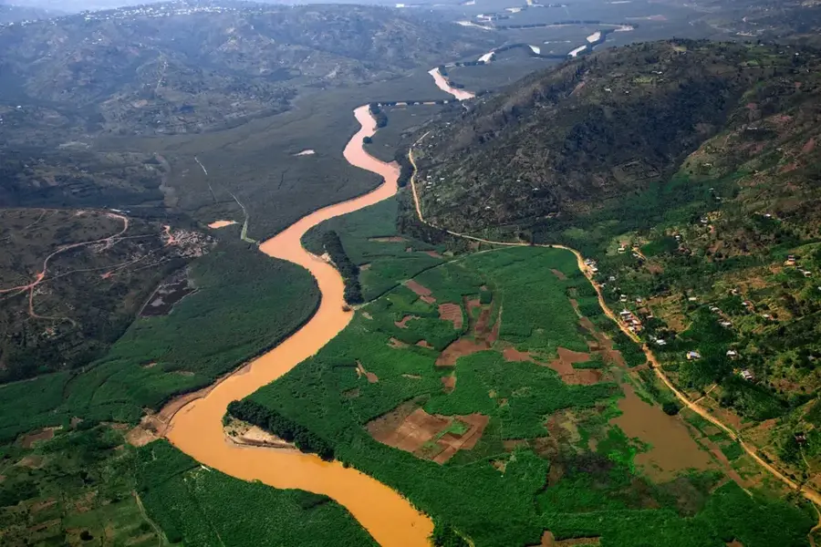
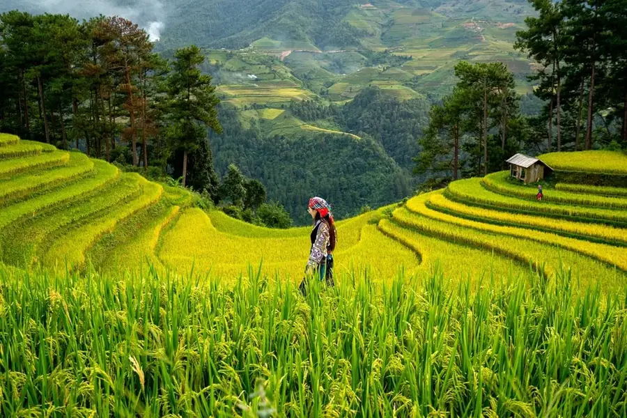
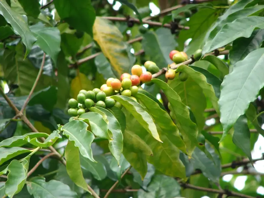
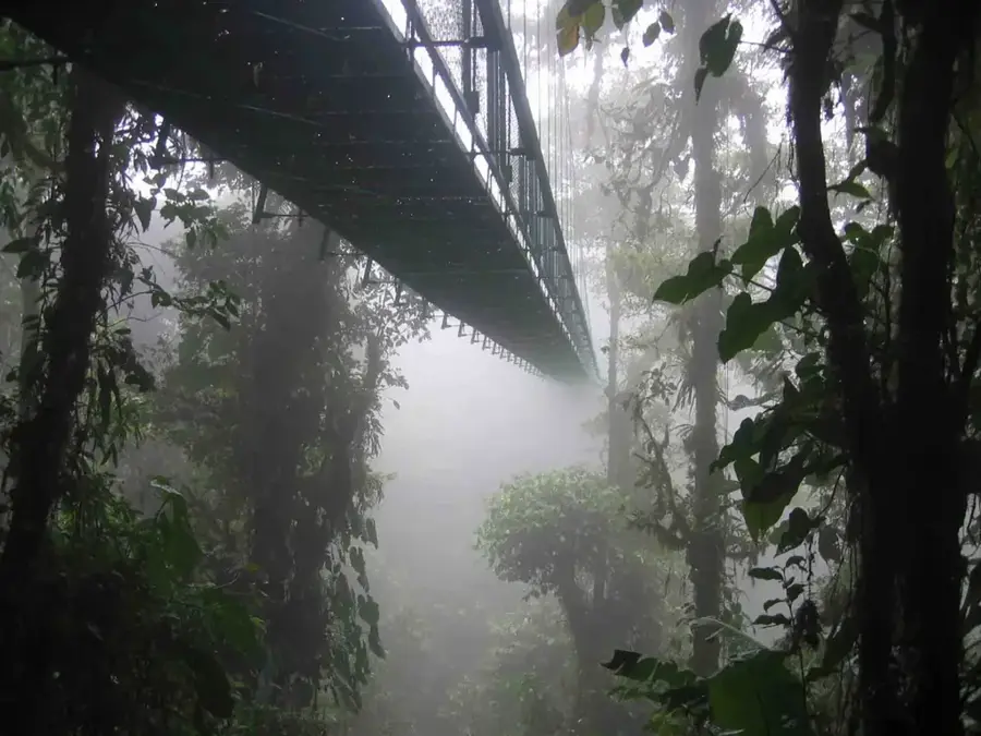
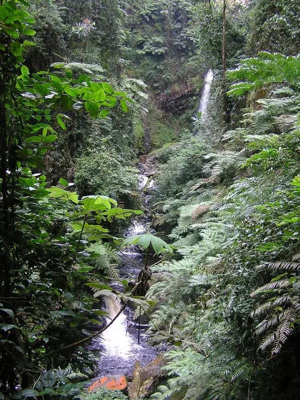
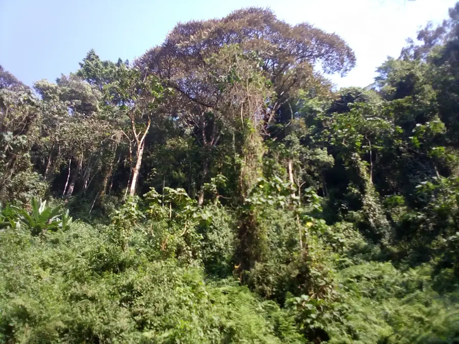
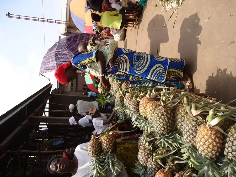
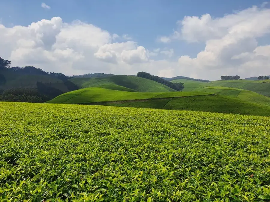
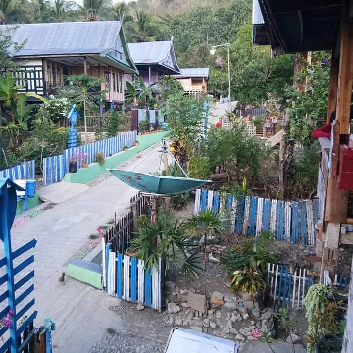
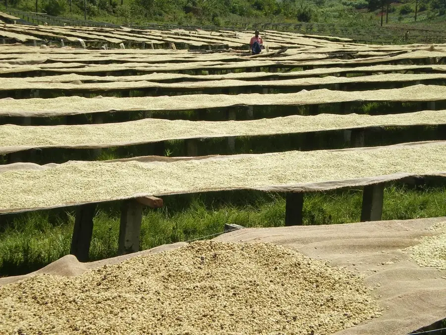
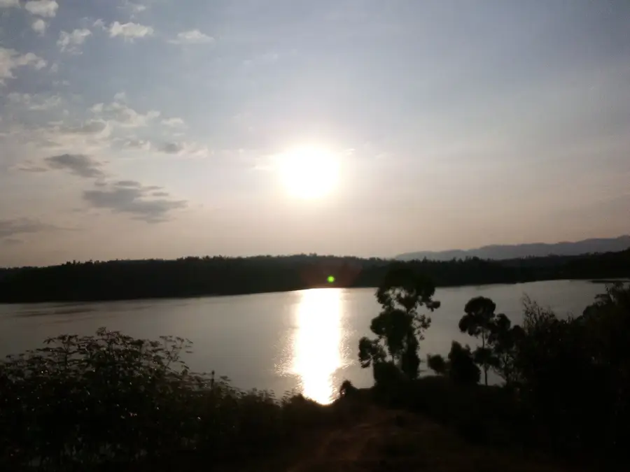
Mount Twinyoni is a prominent elevation in northern Burundi, geographically part of the Congo-Nile Crest. With a significant altitude above sea level, it gives a cooler climate than the surrounding valleys and is often shrouded in mist. The slopes of the mountain are characterized by a mix of remnant forests and agricultural terraces, which bear witness to the region's high population density. Twinyoni is of great hydrological importance, feeding numerous streams that are essential for irrigating local coffee plantations. The flora includes various montane plants, while the fauna is represented by a multitude of mountain birds and smaller mammals. Hikes to the summit provide expansive views over Burundi's northern lakes and as far as the border with Rwanda. Despite intensive agricultural use, there are efforts to protect the remaining forest fragments on Twinyoni to prevent soil erosion. The mountain also holds local cultural significance and is often mentioned in traditional stories as a place of strength.
- Location: Burundi
- Nearby: Mabayi (10 km)
Best time to visit & climate
The most pleasant time to visit is Jun–Aug.
| Jan | Feb | Mar | Apr | May | Jun | Jul | Aug | Sep | Oct | Nov | Dec | |
|---|---|---|---|---|---|---|---|---|---|---|---|---|
| Avg °C | 21 | 21 | 21 | 20 | 20 | 19 | 20 | 21 | 22 | 21 | 21 | 21 |
| Rain mm | 158 | 132 | 184 | 175 | 83 | 34 | 19 | 49 | 95 | 157 | 284 | 175 |
📋 Practical info
Geography
Facts
- Mount Twinyoni is located in northern Burundi, near the border with Rwanda.
- Geographically, it is part of the central African Congo-Nile divide.
- The mountain serves as a critical catchment area for regional streams.
- Its slopes are extensively used for high-altitude coffee cultivation.
- Due to its elevation, the climate is noticeably cooler than in the lowlands.
- The summit offers clear views of the northern Kirundo lakes.
Explore nearby
Notable places around
Route planner — Car & Motorhome
Where do you start? We build the route here, with stops and country notes along the way.
© OpenStreetMap contributors · OpenRouteService
Sights nearby
Frequently asked questions
Where is Mount Twinyoni located?
Does the summit offer a good view?
How long does a hike to the summit take?
Are there marked hiking trails?
What is the climate like on Twinyoni?
Mount Twinyoni: where is it located?
Mount Twinyoni: when is the best time to visit?
Mount Twinyoni: why is it worth visiting?

Nearby cities


Nature

More places