Plizio Visual Lab
Bubanza
ℹ️Practical info — Bubanza
▾
🌤 Weather — 5 days
📍 Nearby
Sights nearby
💡 Tips
- Minibuses (mutatus) are the best way to travel from Bujumbura, but they fill up fast, so start early.
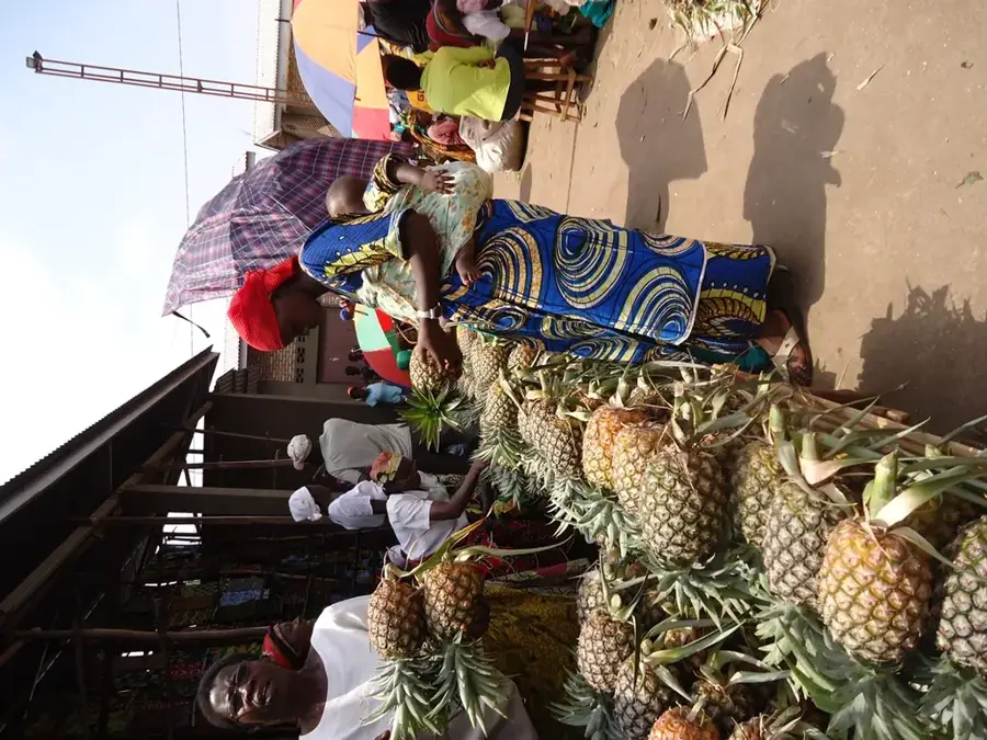
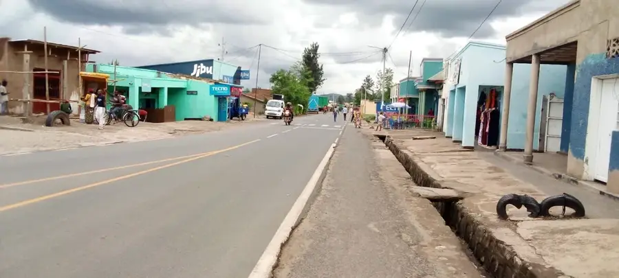
- The town is an agricultural hub; expect to see bustling trade on market days.
- Always ask permission before taking photos of locals or specific government buildings.
- The climate is relatively warm; lightweight clothing is recommended, but evenings can be cooler.
🍽 Food
A popular fish from Lake Tanganyika, often served grilled in local restaurants.
A hearty chicken and bulgur wheat paste, well-suited for a filling local meal.
A common side dish or snack, readily available at small street vendors.
🛍 Shopping · 🧘 Quiet spots
A lively spot to buy fresh local produce like beans, bananas, and cassava.
Burundian basketry is famous; look for them in smaller shops around the town.
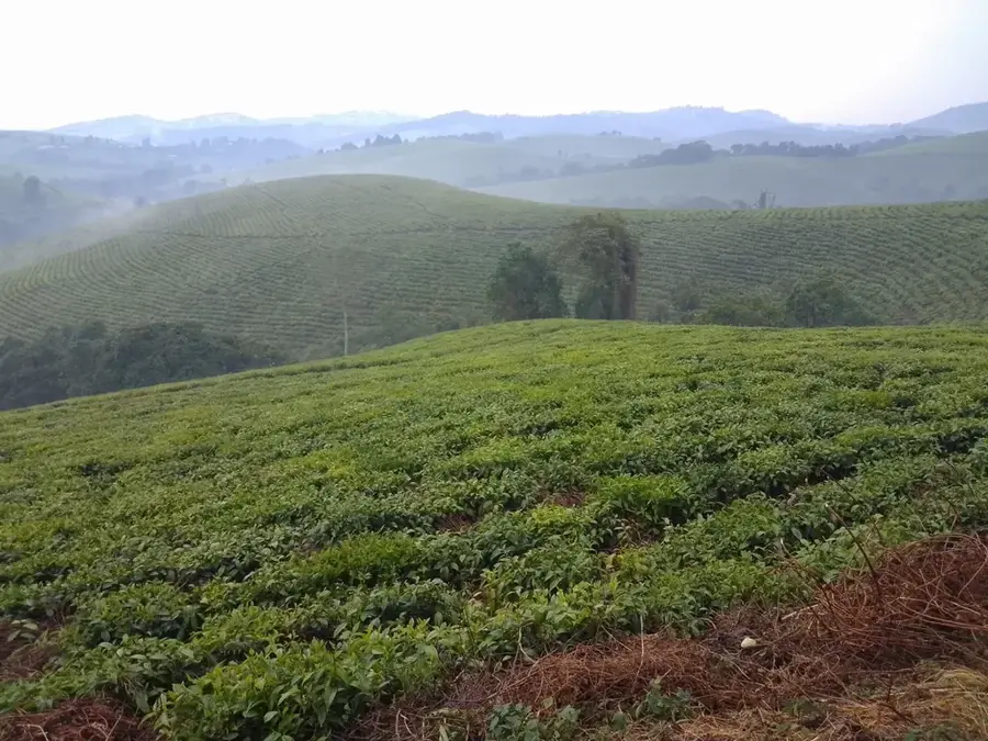
Take a short drive towards the hilly areas to see serene tea fields.
The grounds of the local churches are often peaceful and beautifully maintained.
Water temperature…
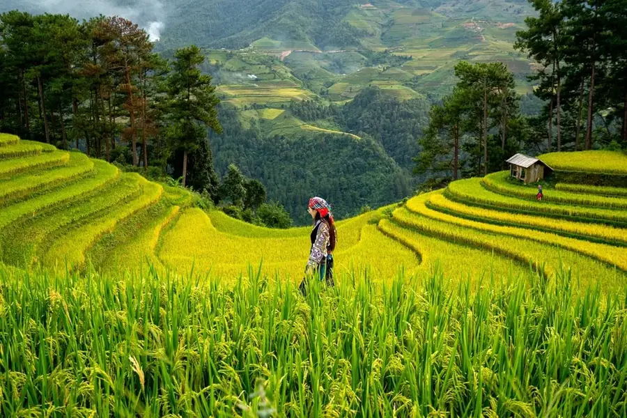
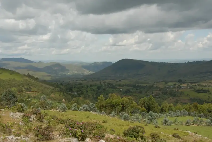
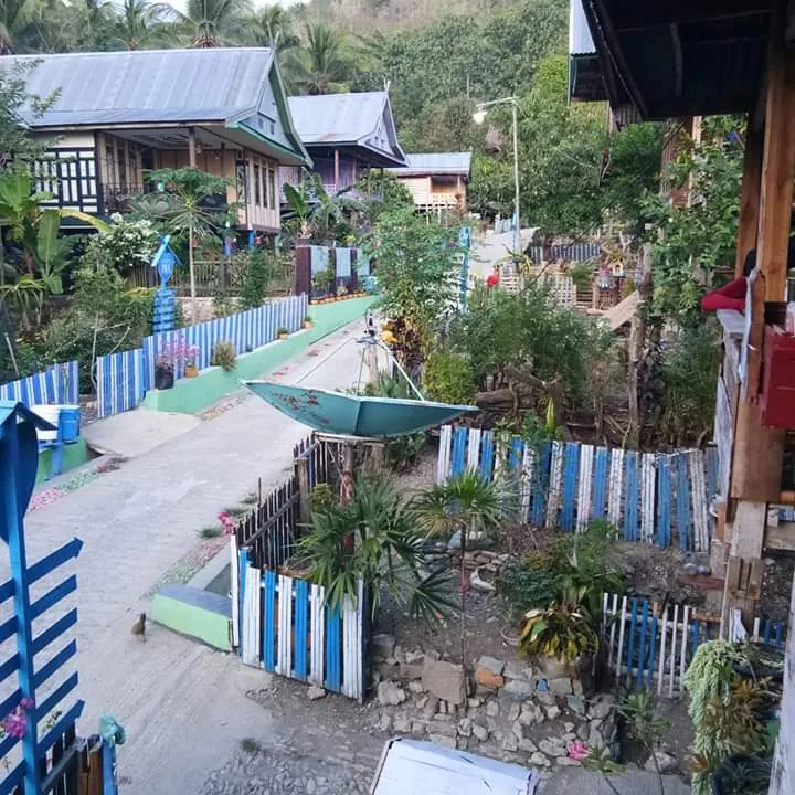
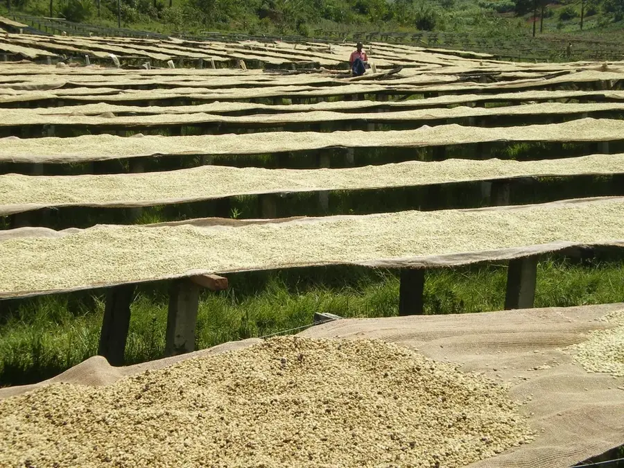
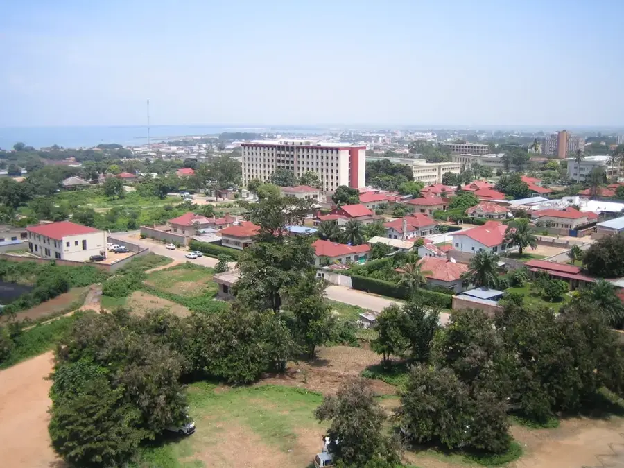
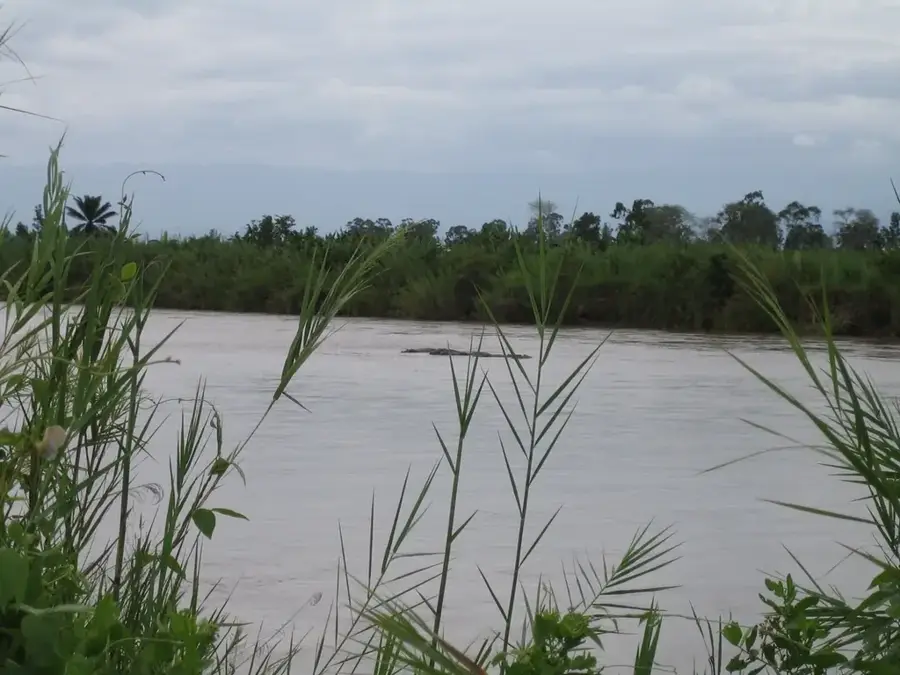
Bubanza is located in northwestern Burundi and serves as the capital of the province of the same name. The town is situated at the edge of the fertile Imbo Plain at an elevation of about 1,200 meters, benefiting from its proximity to Rusizi National Park and the Rusizi River. Bubanza is a major agricultural hub where cotton, rice, and peanuts are primarily cultivated. The region plays a key role in national textile production and the supply of staple foods. Historically, Bubanza was an area of intensive agricultural development programs during the colonial era and after independence. The town features a well-developed road network connecting it to the economic metropolis of Bujumbura. In recent years, Bubanza has gained prominence through investments in education and local administration, while the surrounding wetlands continue to play a vital role in the ecological stability of the west.
- Location: Burundi
- Top sights: Diocese of Bubanza · Commune of Bubanza · Kabwitika
- Nearby: Kibira National Park (17 km)
- Population: ~30.996 (2026)
Best time to visit & climate
The most pleasant time to visit is Jun–Aug.
| Jan | Feb | Mar | Apr | May | Jun | Jul | Aug | Sep | Oct | Nov | Dec | |
|---|---|---|---|---|---|---|---|---|---|---|---|---|
| Avg °C | 21 | 21 | 21 | 20 | 20 | 19 | 20 | 21 | 22 | 21 | 21 | 21 |
| Rain mm | 158 | 132 | 184 | 175 | 83 | 34 | 19 | 49 | 95 | 157 | 284 | 175 |
Geography
Facts
- Bubanza is located at an altitude of approximately 1,200 meters.
- The region is a primary area for cotton cultivation in Burundi.
- Bubanza is situated only about 40 km north of Bujumbura.
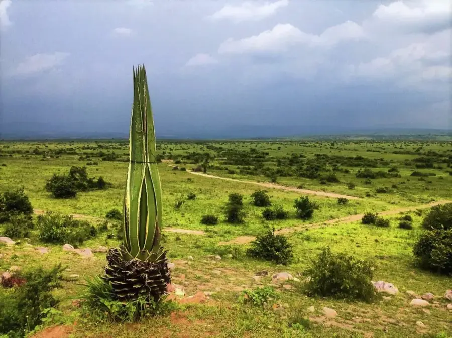
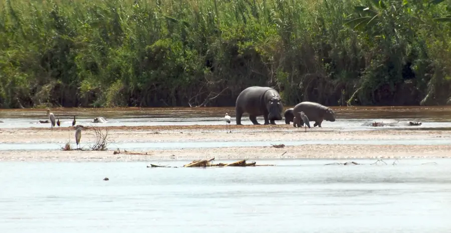
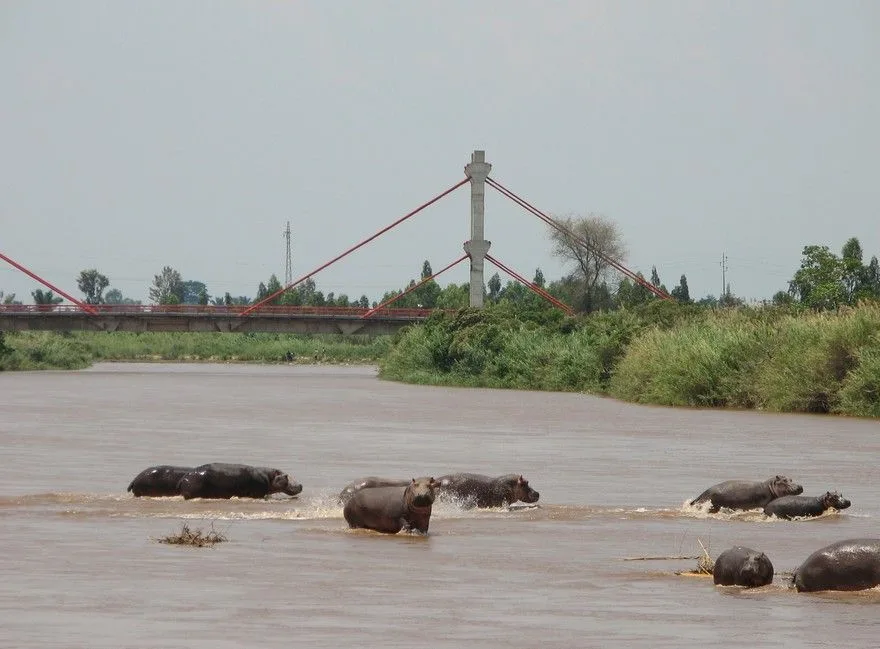
- The nearby Rusizi National Park is home to hippopotamuses.
- The town hosts a significant technical secondary school.
- Rice farming is widespread in the marshlands of the Imbo Plain.
Explore nearby
Notable places around
Route planner — Car & Motorhome
Where do you start? We build the route here, with stops and country notes along the way.
© OpenStreetMap contributors · OpenRouteService
Sights in the town Bubanza (3)
Frequently asked questions
What characterizes Bubanza?
What can you do there?
How far is Bubanza from Bujumbura?
Are there hotels there?
Is the region hilly?
Bubanza: where is it located?
Bubanza: what is there to see?
Bubanza: when is the best time to visit?
Bubanza: why is it worth visiting?

Nearby cities
History & landmarks
Nature
More places