Plizio Visual Lab
Mabayi

ℹ️Practical info — Mabayi
▾
🌤 Weather — 5 days
📍 Nearby
Sights nearby
💡 Tips
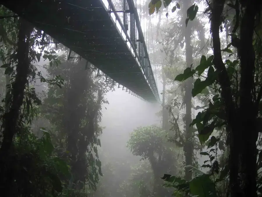
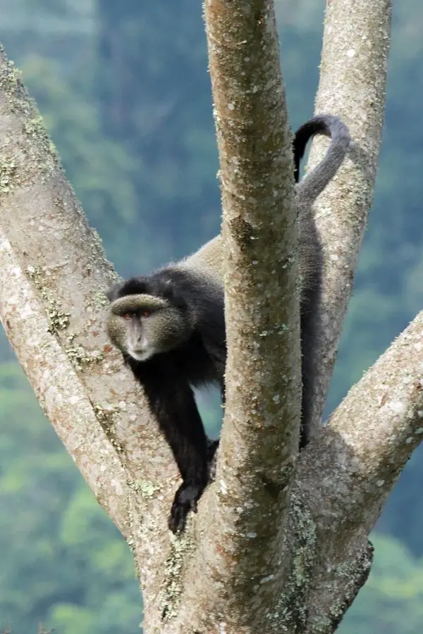
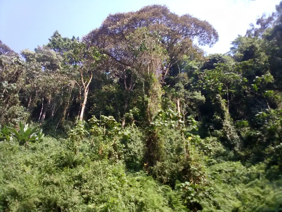
- The town is close to Kibira National Park; mornings can be chilly, so bring a jacket.
- This is a mining region; stick to established paths if exploring the surrounding hills.
- Hiking boots or sturdy shoes are highly recommended due to the steep, muddy terrain.
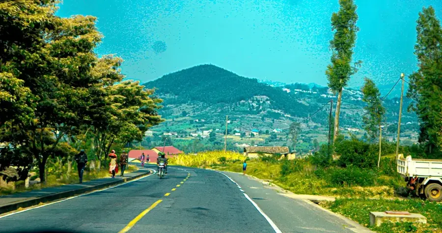
- Transport is less frequent than in lowland towns, so plan your departures early.
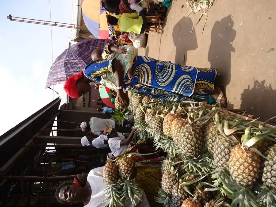
🍽 Food
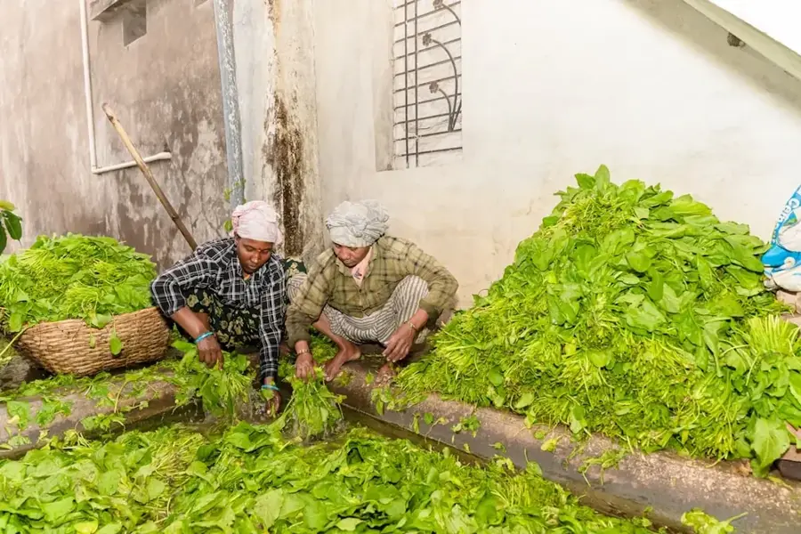
Cassava flour paste, the hearty foundation of most meals in this mountainous area.
Locally grown and often served boiled or roasted at small village eateries.
Sourced from the nearby forests, sometimes available in small local shops.
🛍 Shopping · 🧘 Quiet spots
Look for jars of rich, dark honey brought in from the Kibira forest edges.
The highland climate produces excellent cassava and potatoes sold at the central market.
A serene, lush environment well-suited for listening to birds and enjoying nature.
Walk up any of the surrounding hills for expansive views of the green valleys.
Water temperature…
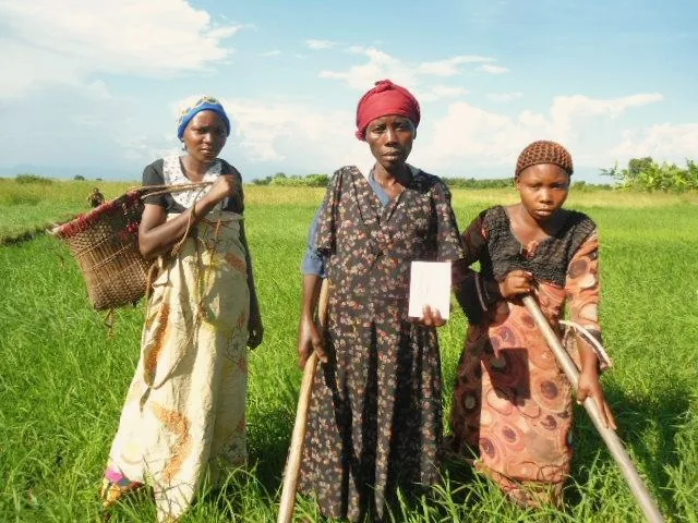
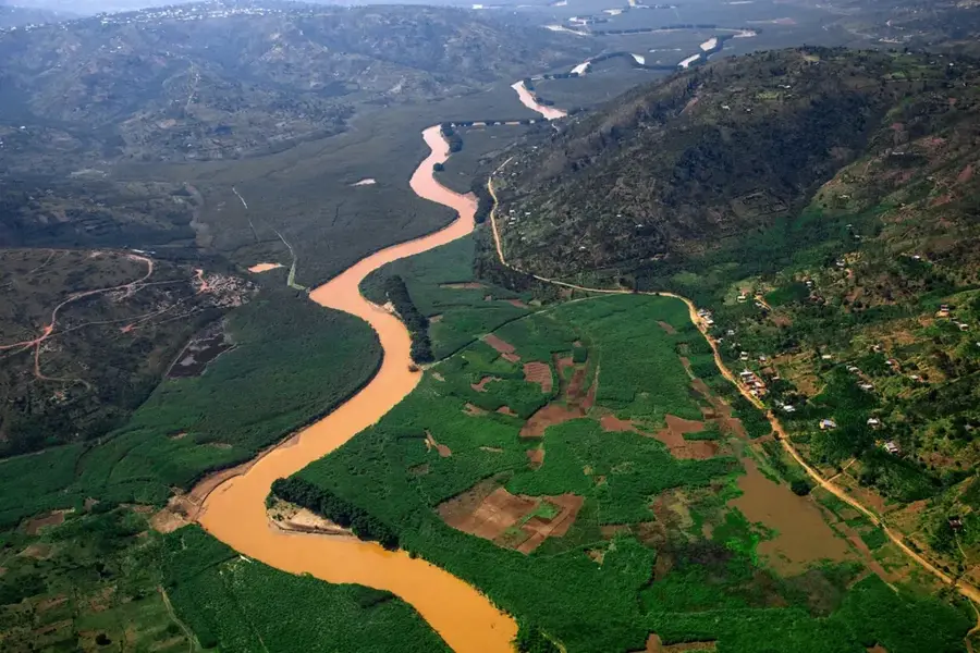
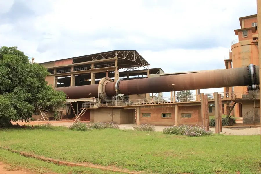
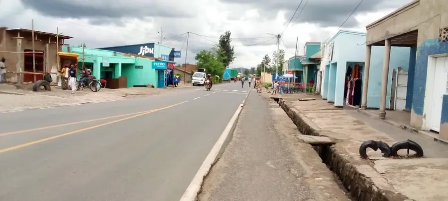
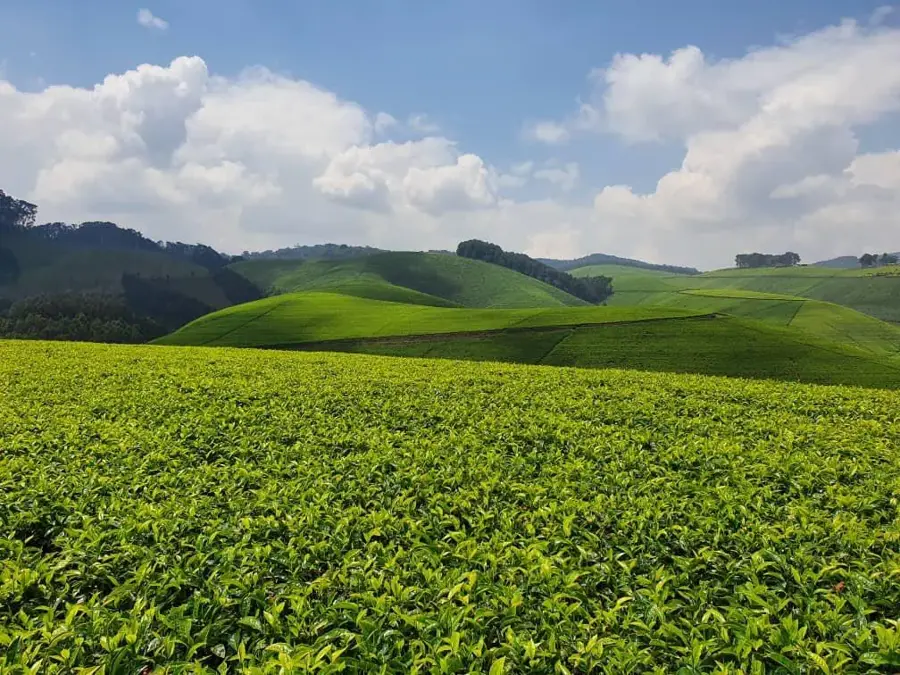
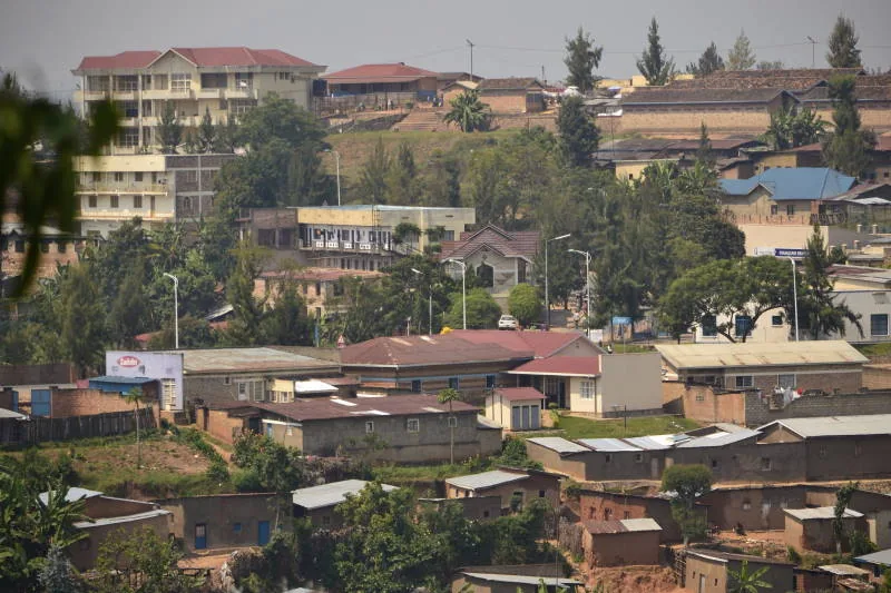
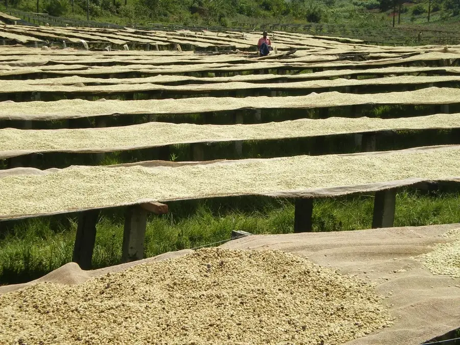
Mabayi is located in the northwestern part of Burundi within the Cibitoke Province, near the borders of Rwanda and the Democratic Republic of the Congo. The region is renowned for its hilly terrain and fertile soils, which facilitate the cultivation of coffee and tea, the backbones of the local economy. Historically, Mabayi has been an essential hub for cross-border trade, fostering a unique cultural blend within the community. The town's elevation provides a temperate climate that contrasts with the humid lowlands near Lake Tanganyika. In recent decades, Mabayi has seen improvements in infrastructure and agricultural support, enhancing its economic significance in the region. Despite its relatively remote location, the town remains a vital administrative and service center, providing essential education and healthcare to the surrounding rural populations.
- Location: Burundi
- Nearby: Rugombo (21 km)
Best time to visit & climate
The most pleasant time to visit is Jun–Aug.
| Jan | Feb | Mar | Apr | May | Jun | Jul | Aug | Sep | Oct | Nov | Dec | |
|---|---|---|---|---|---|---|---|---|---|---|---|---|
| Avg °C | 19 | 20 | 19 | 19 | 18 | 18 | 18 | 19 | 20 | 20 | 19 | 19 |
| Rain mm | 137 | 125 | 178 | 176 | 108 | 50 | 29 | 65 | 107 | 157 | 224 | 152 |
Geography
Facts
- Mabayi serves as the administrative capital of the Mabayi Commune in Cibitoke Province.
- The town sits at an average elevation of approximately 1,650 meters above sea level.
- Coffee cultivation is the primary economic activity and major export of the area.
- Mabayi is located roughly 45 kilometers from the provincial capital of Cibitoke.
- The region shares a northern border with Rwanda's Nyungwe Forest national park.
- The local administration is divided into numerous 'collines' or hill-based units.
Explore nearby
Notable places around
Route planner — Car & Motorhome
Where do you start? We build the route here, with stops and country notes along the way.
© OpenStreetMap contributors · OpenRouteService
Sights in the town Mabayi (1)
Frequently asked questions
What is Mabayi?
Can you go hiking there?
What else is Mabayi known for?
Is the region difficult to access?
What is the climate like in the forests of Mabayi?
Mabayi: where is it located?
Mabayi: when is the best time to visit?
Mabayi: why is it worth visiting?

Nearby cities

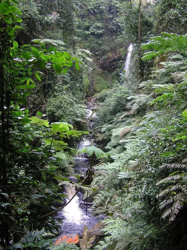

Nature

More places