Plizio Visual Lab
Matana
ℹ️Practical info — Matana
▾
🌤 Weather — 5 days
📍 Nearby
Sights nearby
💡 Tips
- Situated in the southern highlands, the climate is much cooler-a sweater is essential.
- The town is an administrative hub, so the central market is the best place to find transport.
- Life starts early and winds down quickly after dark; plan your meals and travel accordingly.
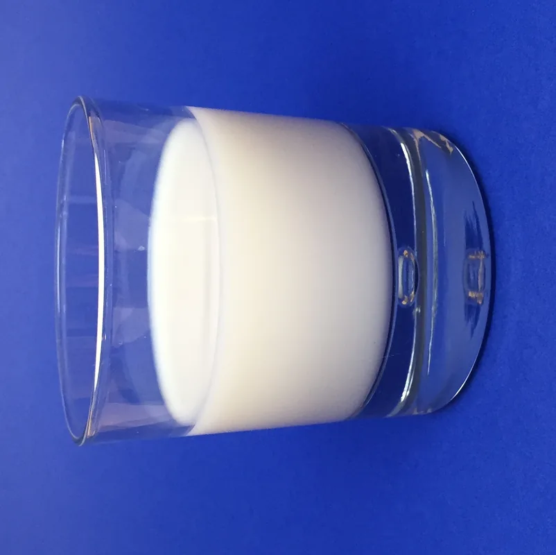
- Dairy is safe and delicious here due to the prominent local cattle farming.
🍽 Food
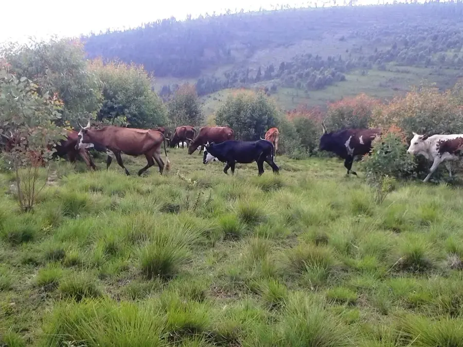
The Bururi region is known for its cattle; try a glass of fresh or fermented milk.
High-quality grilled beef skewers, widely available near the market in the evening.
Stewed savory bananas, a staple comfort food served in local restaurants.
🛍 Shopping · 🧘 Quiet spots
Local cheese and butter can sometimes be sourced from farming cooperatives.
Look for traditional Burundian floor mats crafted by local artisans.
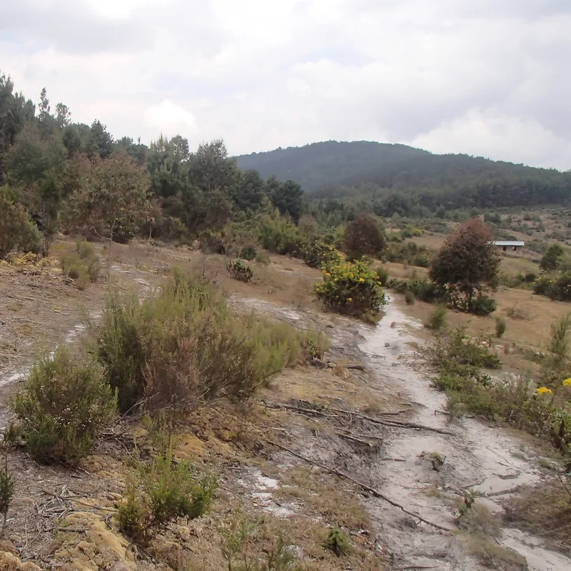
The rolling, grassy hills surrounding the town offer peaceful walking opportunities.
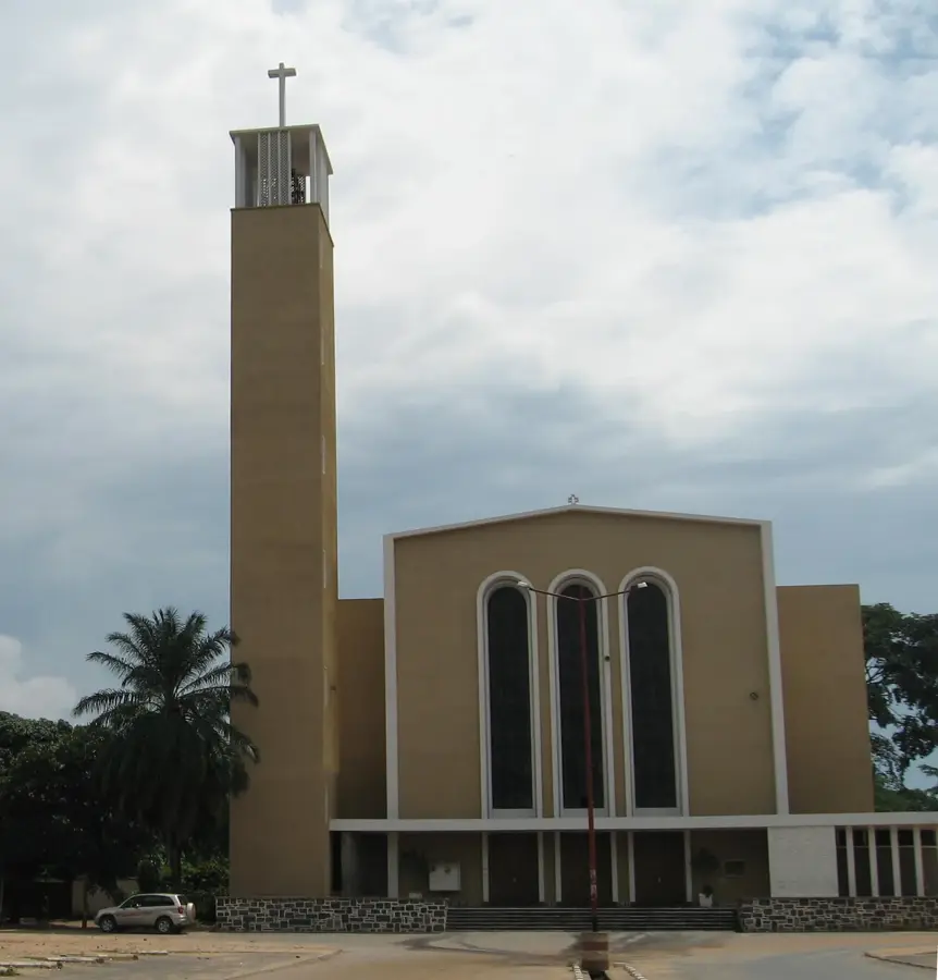
The grounds of the central church are spacious and provide a calm resting spot.
Water temperature…
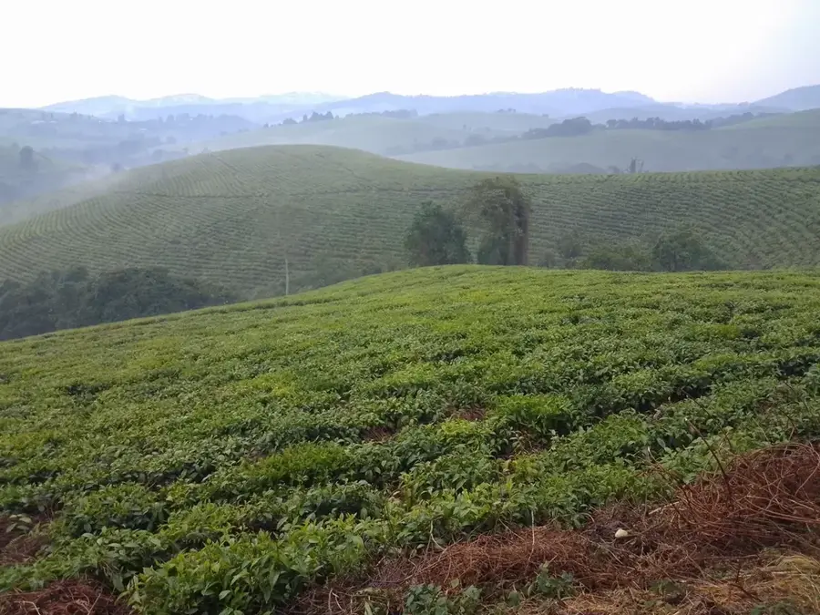
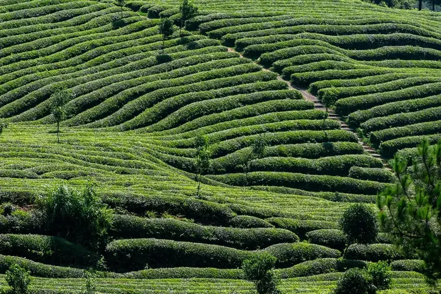
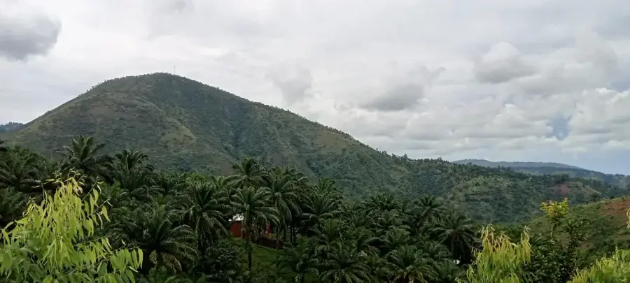
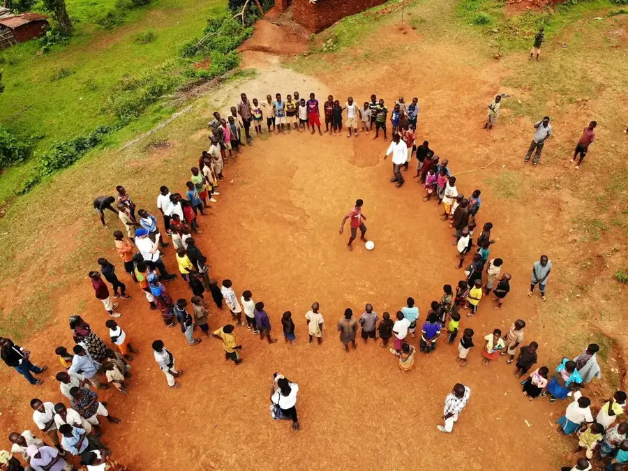
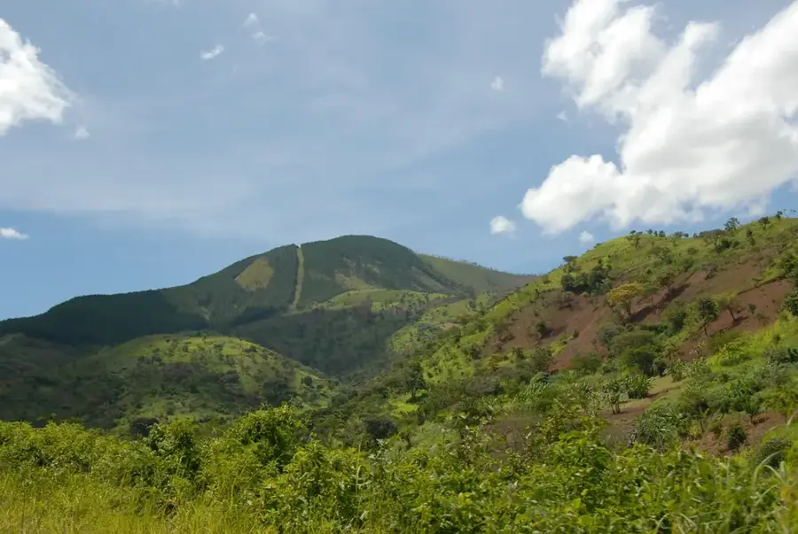
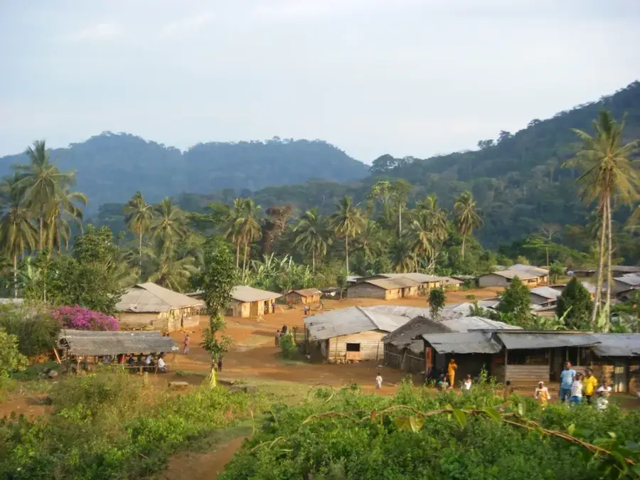
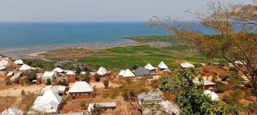
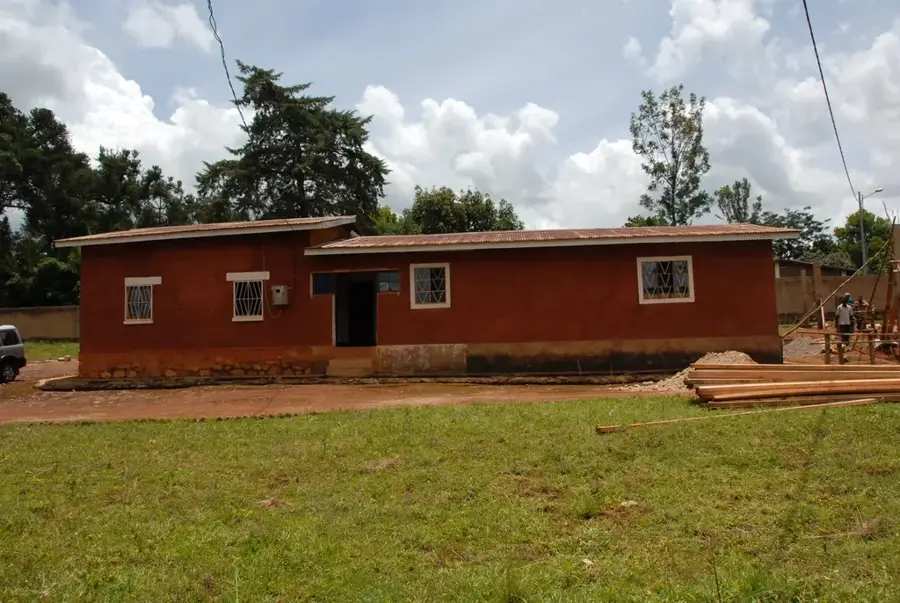
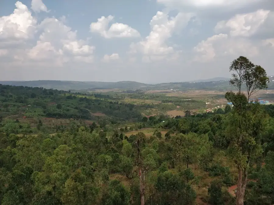
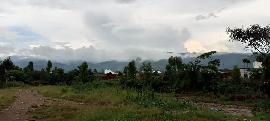
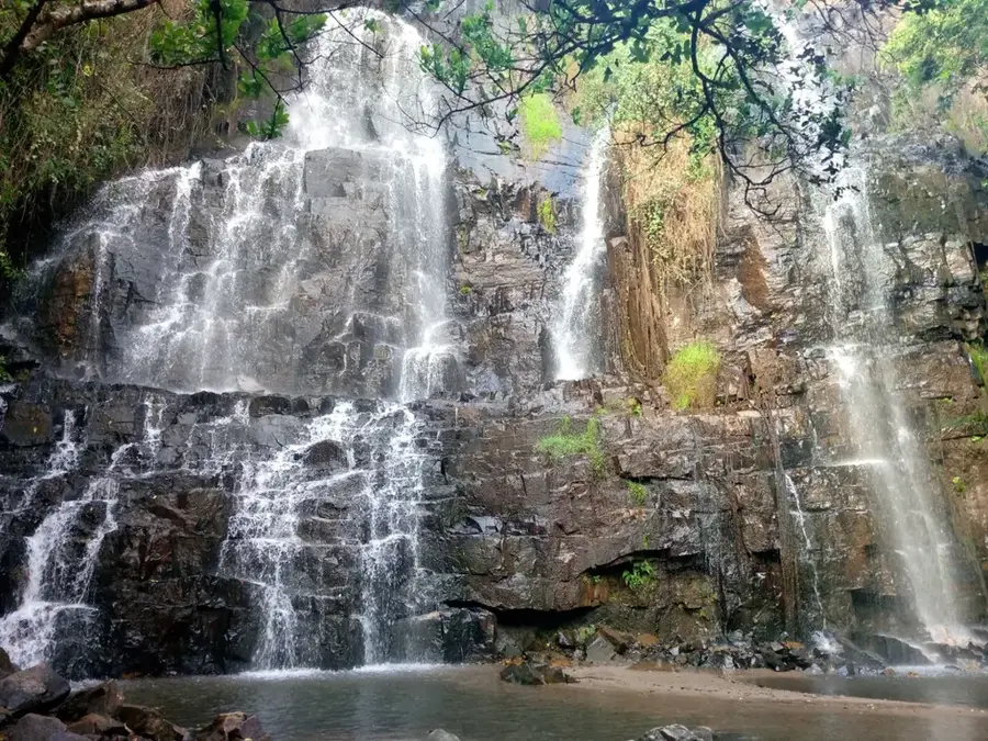
Matana is a significant town in the Bururi Province of southern Burundi, situated on the cool and misty Mugamba plateau. The town has a well-established reputation as a center for education and religious activity, largely due to the influential presence of the Anglican Church. Geographically, Matana sits at a transition point between the central highlands and the southern mountain ranges of the country. Its climate is characterized by high rainfall, making it one of the lushest and greenest regions in Burundi. Economically, the town functions as a collection hub for agricultural goods such as potatoes, maize, and tea. The local architecture reflects a mix of colonial-era structures and modern Burundian developments. Matana is also a strategic stopover for those traveling toward the Bururi Forest Nature Reserve or the southernmost source of the Nile.
- Location: Burundi
- Nearby: Songa (14 km)
- Population: ~3.178 (2023)
Best time to visit & climate
The most pleasant time to visit is Jun–Aug.
| Jan | Feb | Mar | Apr | May | Jun | Jul | Aug | Sep | Oct | Nov | Dec | |
|---|---|---|---|---|---|---|---|---|---|---|---|---|
| Avg °C | 23 | 24 | 23 | 23 | 23 | 23 | 23 | 24 | 25 | 25 | 23 | 23 |
| Rain mm | 203 | 168 | 209 | 214 | 92 | 20 | 10 | 28 | 74 | 143 | 288 | 204 |
Geography
Facts
- Matana is located at an altitude exceeding 2,000 meters on the Mugamba plateau.
- The town is a primary center for the Anglican Church in Burundi.
- The 'Lycée de Matana' is located here and is one of the country's top schools.
- The area is famous for its cattle rearing and high-quality dairy production.
- Matana sits along National Highway 7, connecting Bujumbura to the southern provinces.
- The town experiences much cooler temperatures than the plains, often with heavy mist.
Explore nearby
Notable places around
Route planner — Car & Motorhome
Where do you start? We build the route here, with stops and country notes along the way.
© OpenStreetMap contributors · OpenRouteService
Frequently asked questions
What is special about Matana?
What can you visit there?
Is there agriculture in Matana?
Is it a good place for hiking?
Do you need warm clothes?
Matana: where is it located?
Matana: when is the best time to visit?
Matana: why is it worth visiting?

Nearby cities

History & landmarks

Nature
More places