Plizio Visual Lab
Mount Gikizi

Weather…
Water temperature…
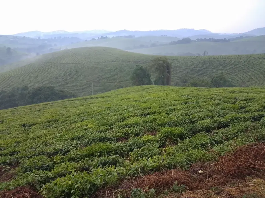
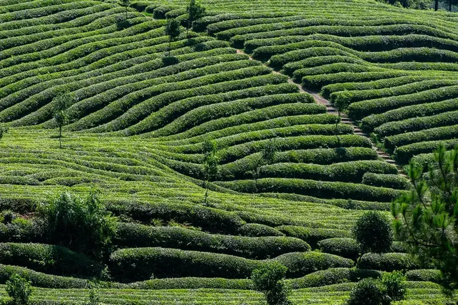
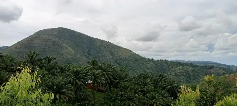
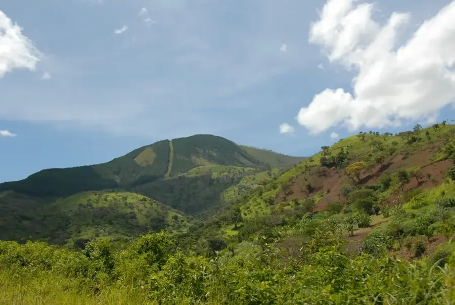
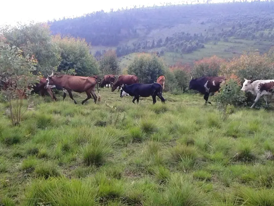
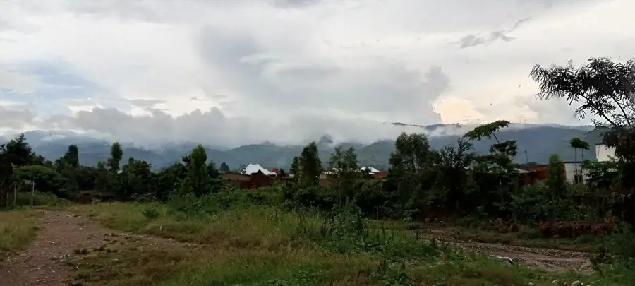
Mount Gikizi in southern Burundi is internationally famous as the site of the southernmost source of the Nile. Located in the Rutovu commune of Bururi Province, it reaches an elevation of approximately 2,129 meters. At the spot considered the furthest source of Africa's longest river, a small stone pyramid was erected in 1938, which remains a significant tourist landmark today. Geographically, Gikizi sits on the watershed divide between the Congo and Nile river basins. The region is characterized by a pleasant highland climate and lush green hills typical of the Burundian interior. Beyond its hydrological importance, the mountain is a site of interest for geographers and historians studying the 19th-century quest to find the Nile's source. The surrounding area is marked by traditional farming practices and small patches of indigenous forest. A visit to Gikizi gives not only historical insights but also sweeping panoramic views across the easy on the eye Burundian countryside.
- Location: Burundi
- Top sights: Nile South Source · Pyramide au Source du Nil
- Nearby: Songa (17 km)
Best time to visit & climate
The most pleasant time to visit is Jun–Aug.
| Jan | Feb | Mar | Apr | May | Jun | Jul | Aug | Sep | Oct | Nov | Dec | |
|---|---|---|---|---|---|---|---|---|---|---|---|---|
| Avg °C | 21 | 21 | 21 | 21 | 20 | 19 | 19 | 21 | 23 | 22 | 21 | 21 |
| Rain mm | 178 | 137 | 169 | 150 | 59 | 9 | 6 | 13 | 26 | 76 | 209 | 177 |
📋 Practical info
Geography
Facts
- Southernmost source of the Nile
- Elevation of 2,129 m
- Site of the 1938 Nile Pyramid
- Located in Bururi Province
- Part of the Congo-Nile divide
- Source of the Gasumo stream
Explore nearby
Notable places around
Route planner — Car & Motorhome
Where do you start? We build the route here, with stops and country notes along the way.
© OpenStreetMap contributors · OpenRouteService
Sights in the town Mount Gikizi (2)
Sights nearby
Frequently asked questions
What is special about Gikizi Mountain?
Is there a monument at the source?
How is the road to the mountain?
Can you visit the source?
How long does the visit take?
Mount Gikizi: where is it located?
Mount Gikizi: what is there to see?
Mount Gikizi: when is the best time to visit?
Mount Gikizi: why is it worth visiting?

Nearby cities

History & landmarks

Nature
More places