Plizio Visual Lab
Bururi
ℹ️Practical info — Bururi
▾
🌤 Weather — 5 days
📍 Nearby
Sights nearby
💡 Tips
- Bring a light jacket; because of the higher elevation, it gets significantly cooler here than in the capital.
- A 4x4 vehicle is highly recommended to navigate the unpaved, mountainous roads in the province.
- Always ask for permission politely before taking photographs of local people.
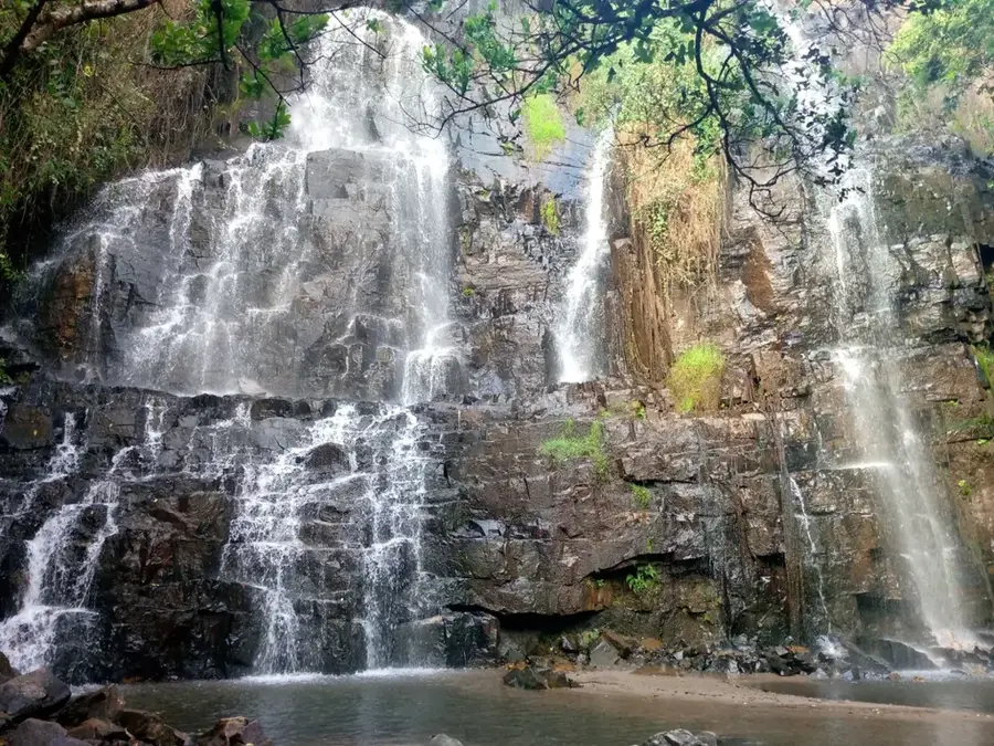
- The Bururi Forest Nature Reserve is best visited in the early morning for optimal birdwatching.
- Carry enough Burundian Francs in cash, as credit cards are very rarely accepted in this area.
🍽 Food
Small fried fish sourced from Lake Tanganyika, often sold as a protein-rich snack.
A stiff, dough-like staple served in basic local eateries, well-suited for dipping.
Grilled meat skewers prepared freshly in the evening at local bars and roadside stands.
🛍 Shopping · 🧘 Quiet spots
Visit the main market to buy the freshest agricultural produce grown in the highland region.
Look for jars of wild honey brought in by farmers from the surrounding hills.
Traditional, colorful hand-woven crafts that make for excellent and authentic souvenirs.
Hike the peaceful forested trails and look out for rare, endemic bird species.
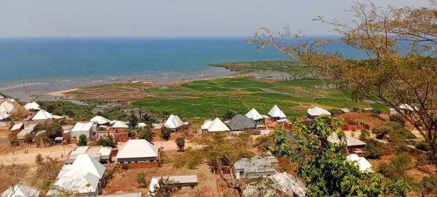
Find an elevated spot on the edge of town for sweeping, panoramic views to the south.
Enjoy an incredibly quiet and slow-paced afternoon stroll through the main streets.
Water temperature…
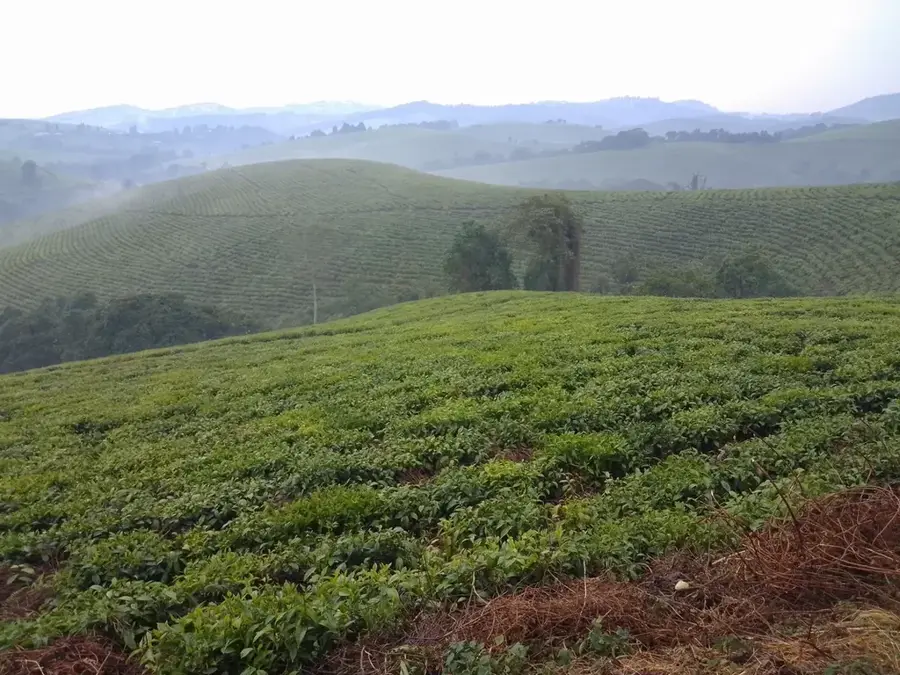
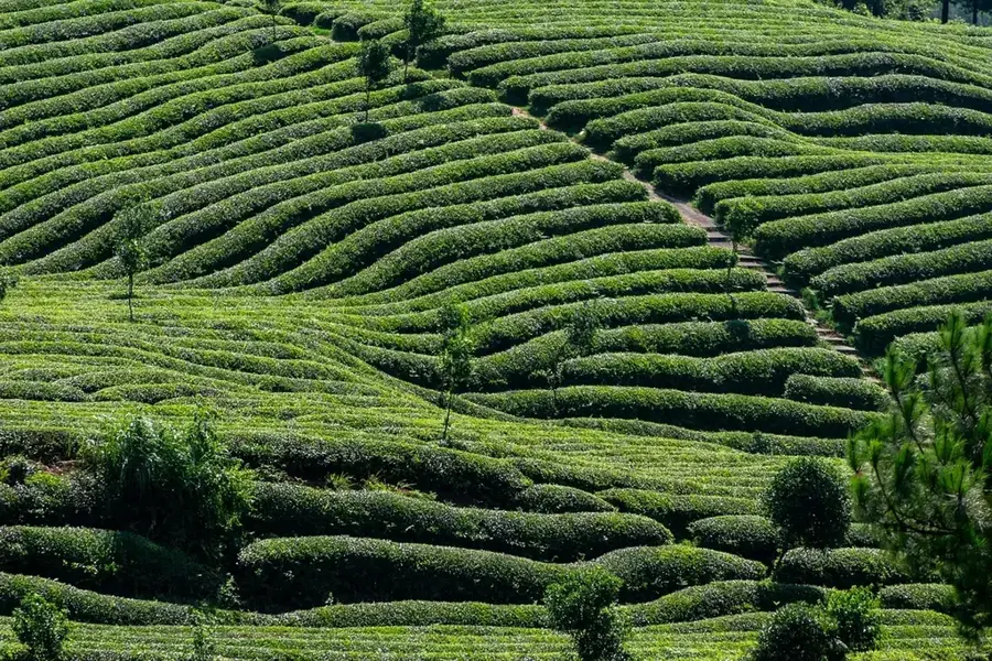
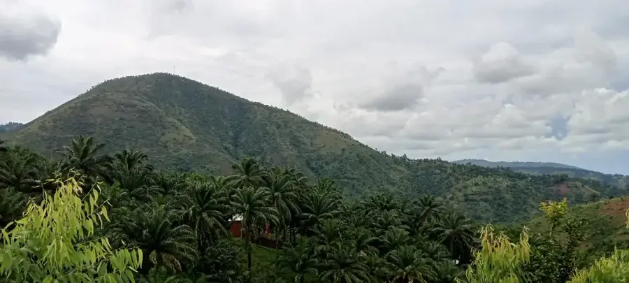
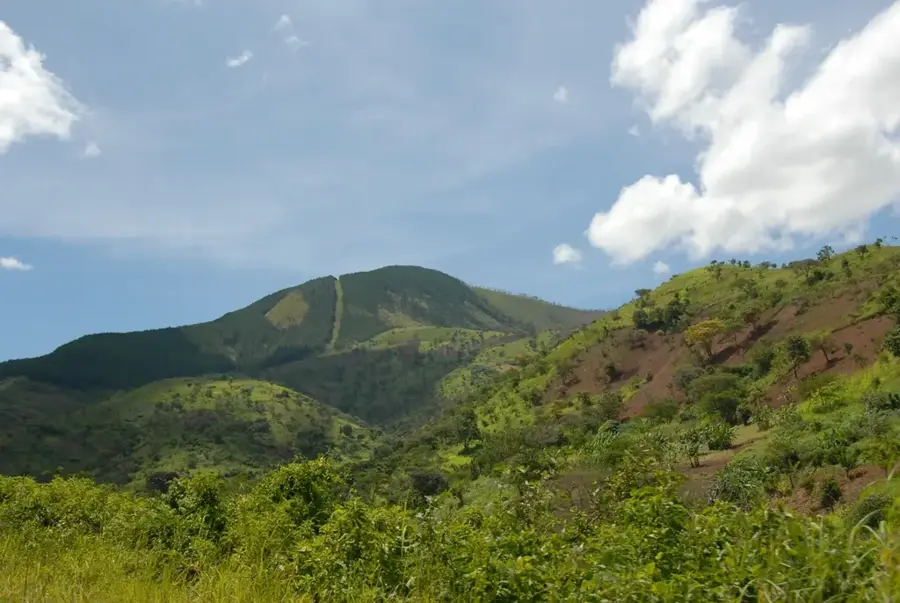
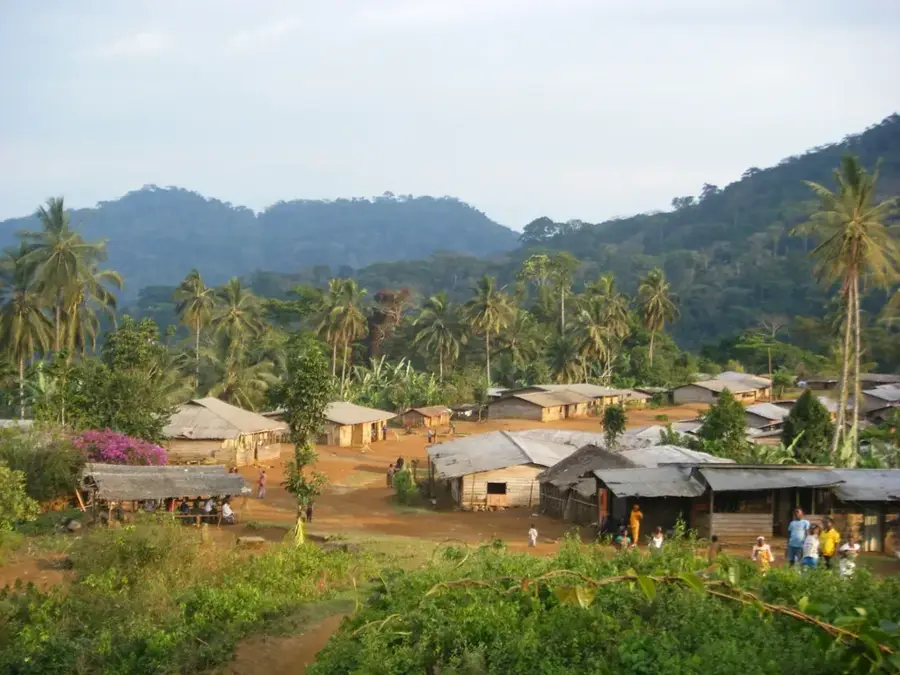
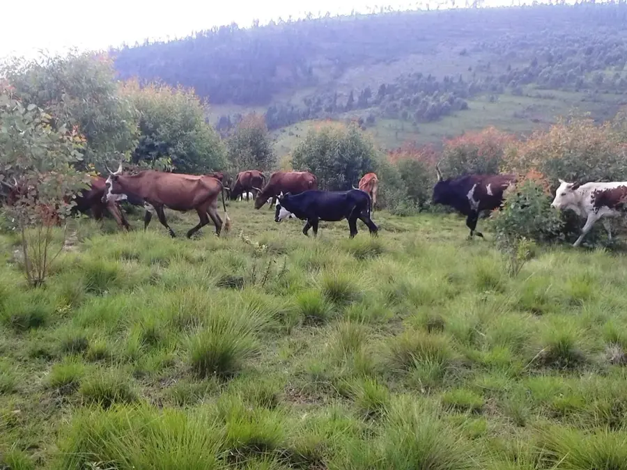
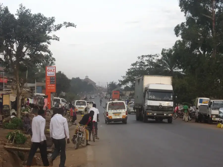
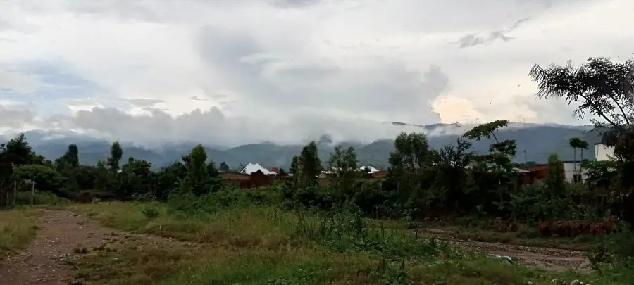
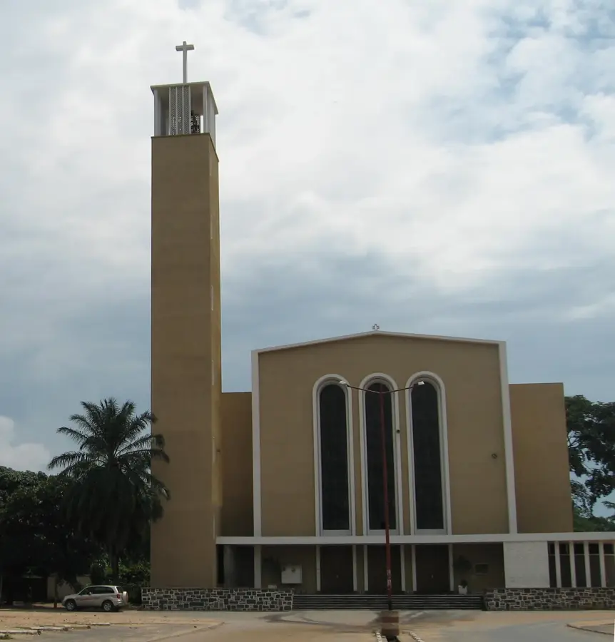
Bururi is the capital of the province of the same name in southwestern Burundi, located in a mountainous region at an elevation of about 1,830 meters. The town is primarily known for the nearby Bururi Forest Nature Reserve, which constitutes one of the last remaining montane rainforest areas in the country and provides a habitat for rare chimpanzees. Historically, Bururi was a significant educational hub where many leading figures of independent Burundi received their training. The town serves as the administrative and commercial center for a region dominated by agriculture, particularly the cultivation of coffee and tea. Due to its altitude, the climate is cooler and more humid than in the lower-lying regions near Lake Tanganyika. Bururi also plays a strategic role in regional administration and hosts several state institutions and religious missions that have been present since the early 20th century.
- Location: Burundi
- Nearby: Vyanda (6 km)
- Population: ~6.929 (2026)
Best time to visit & climate
The most pleasant time to visit is Jun–Aug.
| Jan | Feb | Mar | Apr | May | Jun | Jul | Aug | Sep | Oct | Nov | Dec | |
|---|---|---|---|---|---|---|---|---|---|---|---|---|
| Avg °C | 23 | 24 | 23 | 23 | 23 | 23 | 23 | 24 | 25 | 25 | 23 | 23 |
| Rain mm | 203 | 168 | 209 | 214 | 92 | 20 | 10 | 28 | 74 | 143 | 288 | 204 |
Geography
Facts
- Bururi is located at an altitude of approximately 1,830 meters.
- The Bururi Forest Reserve covers an area of about 3,300 hectares.
- The town hosts significant Catholic mission schools dating from the colonial era.
- Bururi is the birthplace of several former presidents of Burundi.
- Annual rainfall in the region often exceeds 1,200 mm.
- The economy is primarily based on subsistence farming and coffee exports.
Explore nearby
Notable places around
Route planner — Car & Motorhome
Where do you start? We build the route here, with stops and country notes along the way.
© OpenStreetMap contributors · OpenRouteService
Sights in the town Bururi (1)
Frequently asked questions
What is the main attraction of Bururi?
Can you go hiking there?
What is the weather like in Bururi?
What should you pack for a visit?
Is there accommodation near the reserve?
Bururi: where is it located?
Bururi: when is the best time to visit?
Bururi: why is it worth visiting?

Nearby cities


History & landmarks

Nature
More places