Plizio Visual Lab
Songa
ℹ️Practical info — Songa
▾
🌤 Weather — 5 days
📍 Nearby
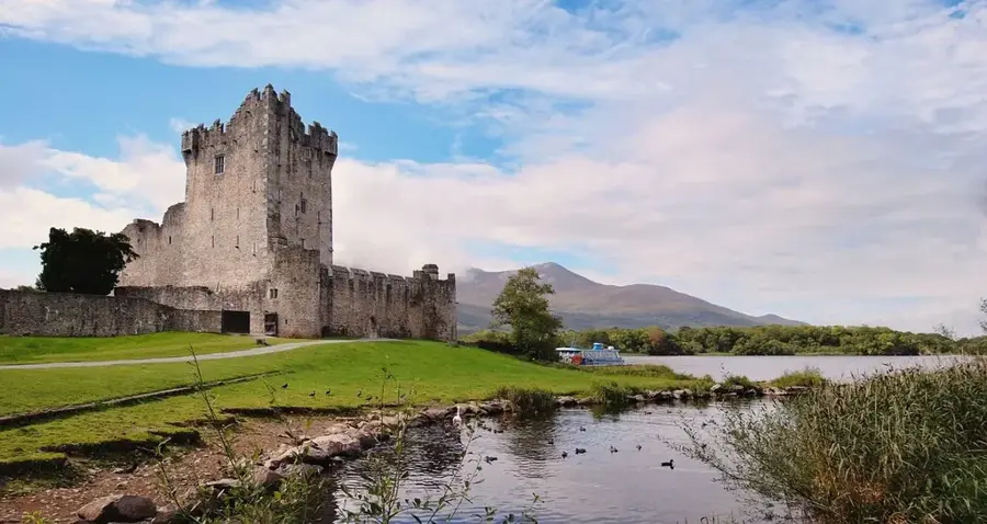
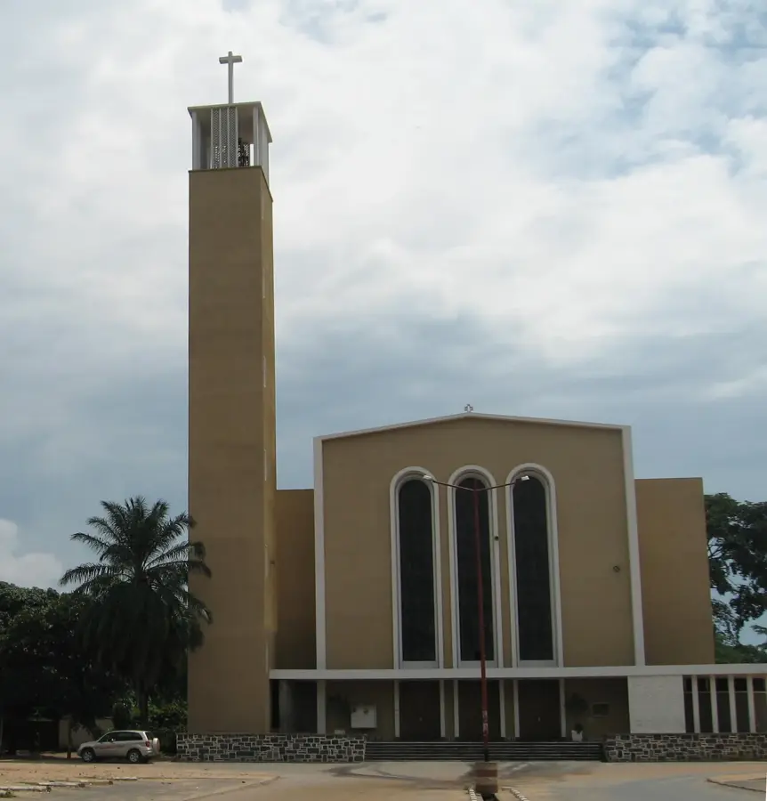
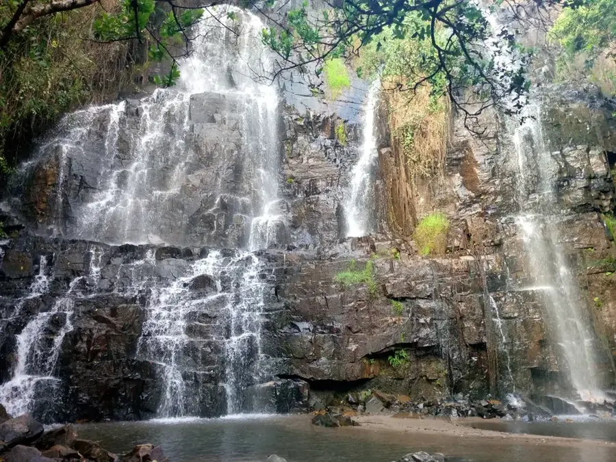
Sights nearby
💡 Tips
- It can get cooler in the evenings in this higher-altitude area. Bring a light sweater.
- Mobile reception can be spotty in the valleys.
- Sundays are usually rest days on the farms; it's a quiet time to visit.
- Rental cars should have good ground clearance to handle the rural roads.
🍽 Food
A popular afternoon snack often found at small stalls along the roads.
Brochettes are served in most small bars, usually alongside beer.
The classic filling side dish for almost all stews in the center.
🛍 Shopping · 🧘 Quiet spots
An important grain in the region that you will see in the small farmers' markets.
Occasionally, craftsmen offer simple, useful wooden items near the village square.
The cool climate is excellent for longer walks through the green landscape.
At the edge of the farmlands, you can often find pleasant, shady spots to rest.
Water temperature…
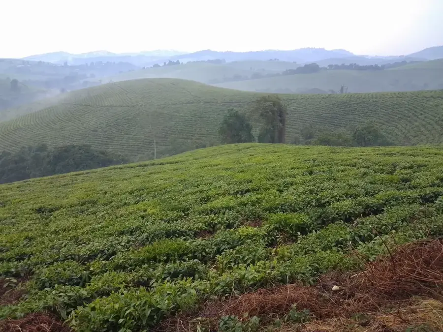
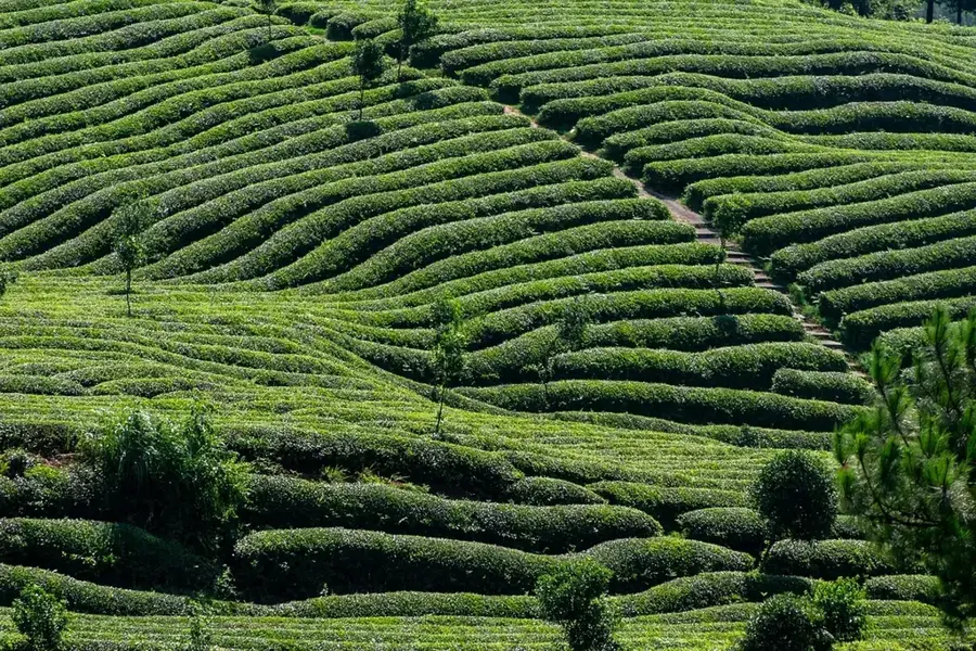
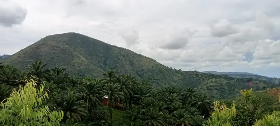
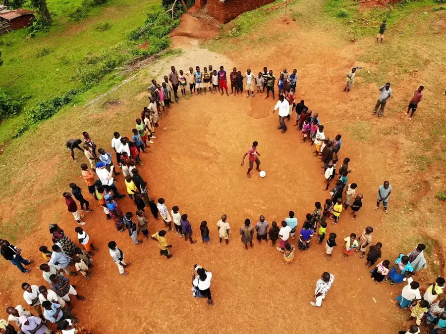
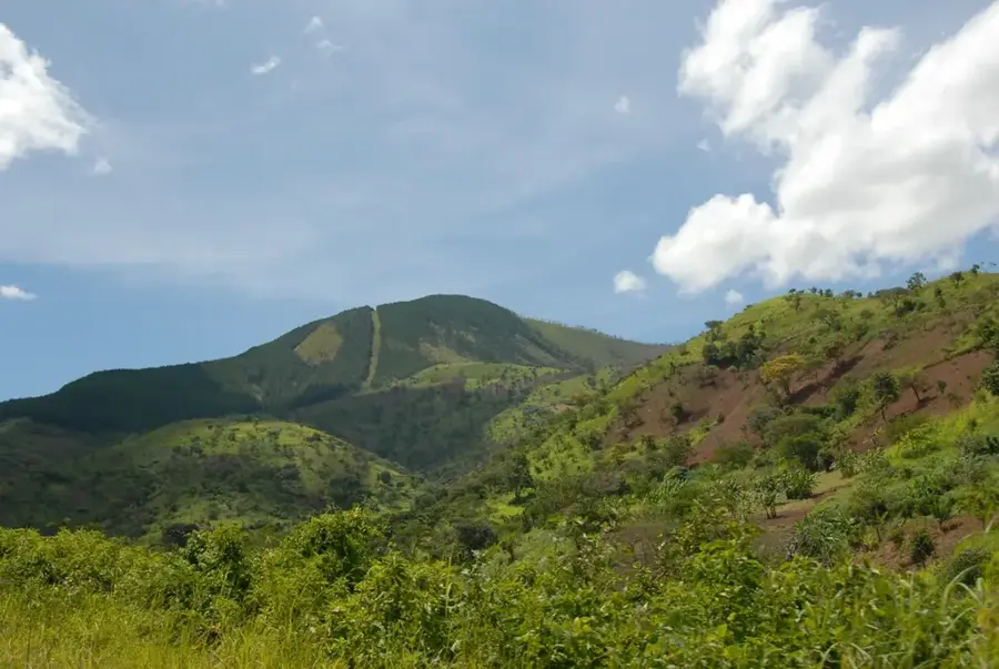
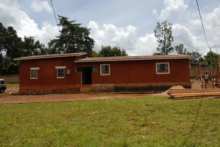
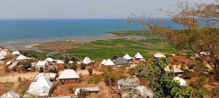
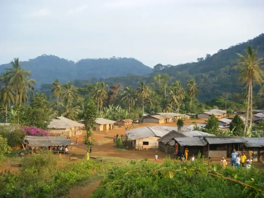
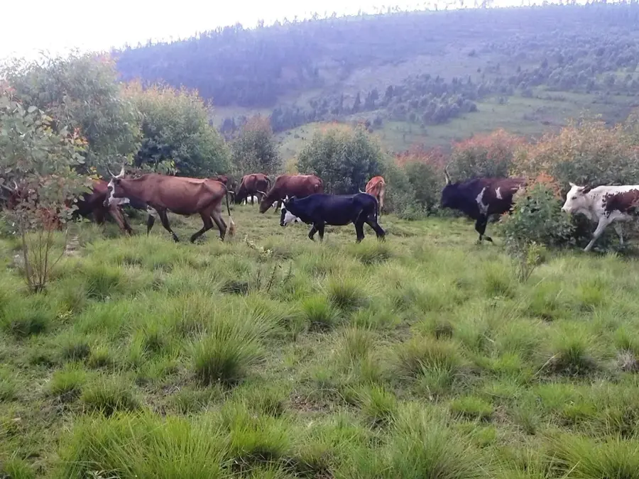
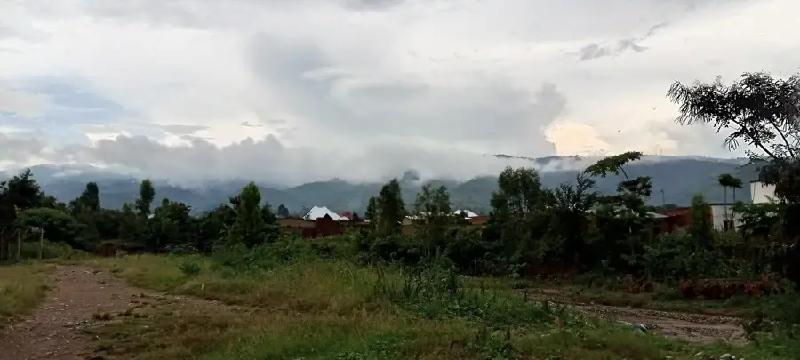
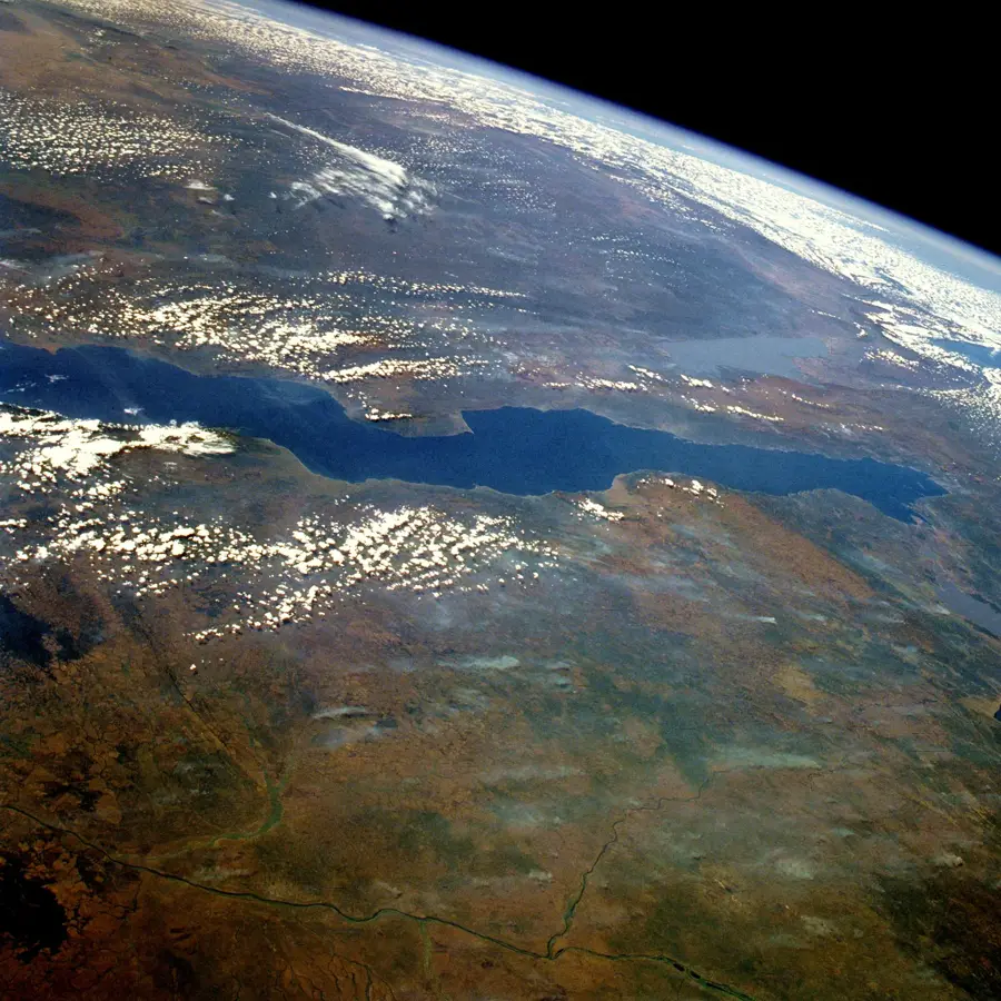
Songa is located in the Bururi Province of southern Burundi and serves as the administrative center of the commune of the same name. The region sits at a significant elevation of approximately 2,100 meters above sea level, which dictates the local temperate climate and agricultural output. Historically, Songa has been deeply rooted in pastoralism and farming, with the cultivation of coffee and tea being vital components of the local economy. The landscape is defined by rolling hills and lush vegetation, typical of the Burundian highlands' ecological profile. Nearby, several nature reserves contribute to the preservation of regional biodiversity and endemic species. In recent decades, the town's infrastructure has seen gradual improvements, focusing on enhancing educational and healthcare facilities for its expanding population. Songa acts as a crucial local commercial hub where agricultural goods from surrounding villages are gathered and traded for distribution to larger urban centers.
- Location: Burundi
- Nearby: Bururi (8 km)
Best time to visit & climate
The most pleasant time to visit is Jun–Aug.
| Jan | Feb | Mar | Apr | May | Jun | Jul | Aug | Sep | Oct | Nov | Dec | |
|---|---|---|---|---|---|---|---|---|---|---|---|---|
| Avg °C | 23 | 24 | 23 | 23 | 23 | 23 | 23 | 24 | 25 | 25 | 23 | 23 |
| Rain mm | 203 | 168 | 209 | 214 | 92 | 20 | 10 | 28 | 74 | 143 | 288 | 204 |
Geography
Facts
- Located in Bururi Province in southern Burundi.
- Average elevation is approximately 2,100 meters.
- A regional center for coffee agricultural production.
- Characterized by a cooler tropical highland climate.
- Primary local market hub for the surrounding rural area.
- Situated near the Congo-Nile drainage divide.
Explore nearby
Notable places around
Route planner — Car & Motorhome
Where do you start? We build the route here, with stops and country notes along the way.
© OpenStreetMap contributors · OpenRouteService
Frequently asked questions
What is the main attraction in Songa?
How many days should I plan for?
Are there any accommodation options?
What souvenir should I buy?
When is market day in Songa?
Songa: where is it located?
Songa: when is the best time to visit?
Songa: why is it worth visiting?

Nearby cities

History & landmarks

Nature
More places