Plizio Visual Lab
Todor
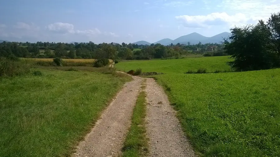
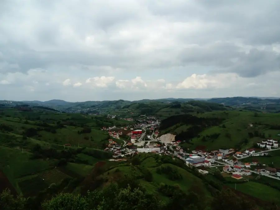
Todor is a prominent mountain peak within the Zelengora massif, located in the Sutjeska National Park in southeastern Bosnia and Herzegovina. Rising to an elevation of approximately 2,014 meters, it gives spectacular panoramic views of the surrounding Maglić and Volujak ranges, as well as the deep valleys of the Drina and Sutjeska rivers. The geology of Todor is characterized by sedimentary rock and limestone typical of the Dinaric Alps, resulting in rugged rock formations and sharp ridges. The flora in this region is remarkably diverse, featuring rare alpine wildflowers and dense patches of mountain pine. Historically, the area surrounding Todor was a site of significant military operations during World War II, most notably during the Battle of the Sutjeska. Today, the peak primarily attracts experienced mountaineers and nature photographers who appreciate the solitude and pristine wilderness of Zelengora. Nearby, several glacial lakes, often called the 'mountain eyes,' contribute to the mystical atmosphere of the landscape. Todor embodies the raw beauty and ecological significance of the country's oldest national park.
- Location: Bosnia and Herzegovina
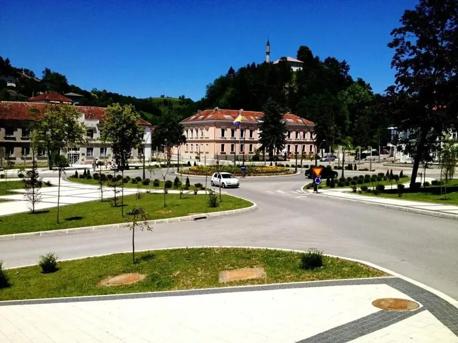
- Nearby: Cazin (8 km)
Best time to visit & climate
The most pleasant time to visit is Jun–Aug.
| Jan | Feb | Mar | Apr | May | Jun | Jul | Aug | Sep | Oct | Nov | Dec | |
|---|---|---|---|---|---|---|---|---|---|---|---|---|
| Avg °C | 0 | 1 | 6 | 11 | 15 | 19 | 22 | 22 | 16 | 11 | 6 | 1 |
| Rain mm | 81 | 85 | 77 | 82 | 103 | 86 | 69 | 82 | 121 | 104 | 114 | 92 |
📋 Practical info
Geography
Facts
- The Todor peak reaches an altitude of 2,014 meters above sea level.
- It is part of the Zelengora mountain range within the Sutjeska National Park.
- The name 'Todor' is deeply rooted in local folklore and historical traditions.
- The area is a well-known habitat for chamois populations and golden eagles.
- Orlovačko Lake, one of the region's most beautiful glacial lakes, is located nearby.
- The peak is primarily composed of limestone dating back to the Triassic period.
Explore nearby
Notable places around
Route planner — Car & Motorhome
Where do you start? We build the route here, with stops and country notes along the way.
© OpenStreetMap contributors · OpenRouteService
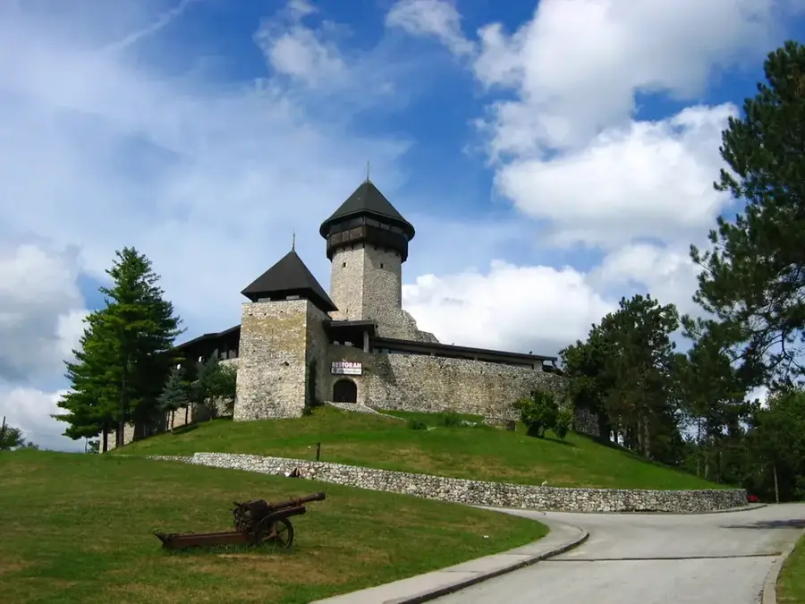
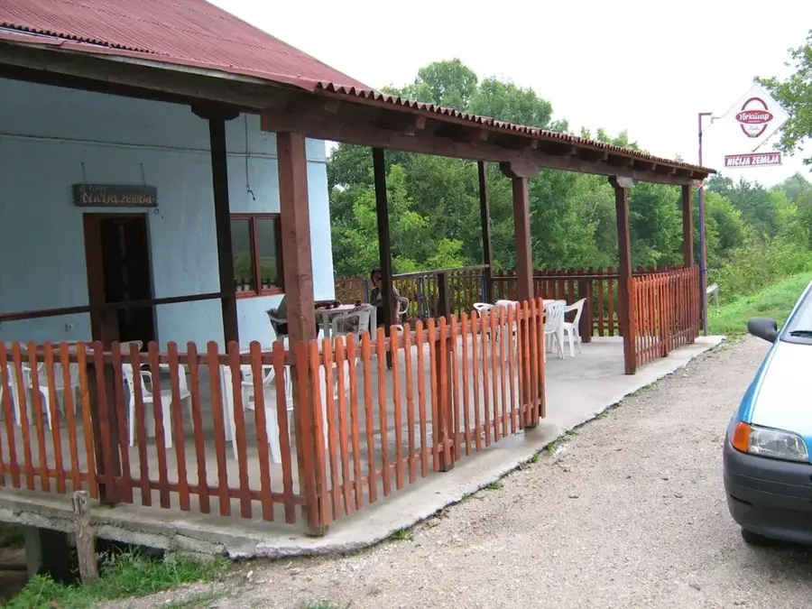
Sights in the town Todor (1)
Sights nearby
Frequently asked questions
Where is the Todor peak located?
How high is Todor?
Is the climb suitable for beginners?
When is the best time for hiking?
Are there mountain huts nearby?
Todor: where is it located?
Todor: when is the best time to visit?
Todor: why is it worth visiting?
Nearby cities