Plizio Visual Lab
Janj Islands
Weather…
Water temperature…
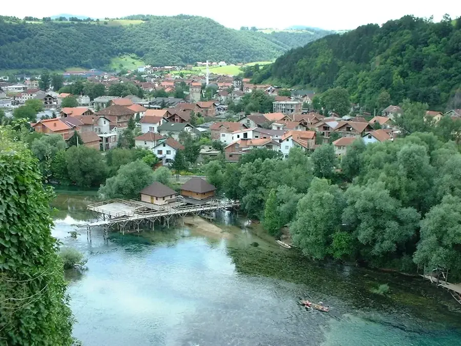
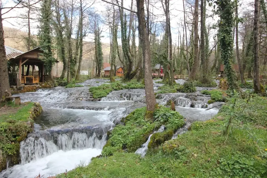
Janjske Otoke is a remarkable natural phenomenon located near Šipovo in western Bosnia and Herzegovina, where the Janj River creates a labyrinth of islands, cascades, and waterfalls. These limestone formations were shaped over millennia through the deposition of tufa, resulting in a unique riverine landscape characterized by lush vegetation and crystal-clear currents. Situated at an altitude of approximately 450 meters above sea level, the area is noted for its consistently cold water temperatures, which rarely exceed 10 degrees Celsius even during the height of summer. The surrounding forests of beech and alder, along with a rich moss flora, provide essential habitats for numerous rare insect species and diverse birdlife. Janjske Otoke serves as a significant destination for ecotourism and is strictly protected to preserve its ecological integrity and geological uniqueness. The area is also famous for its historic watermills, which have been used by local families for generations to grind grain, representing a vital part of the region's cultural and architectural heritage.
- Location: Bosnia and Herzegovina
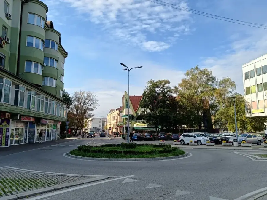
- Nearby: Šipovo (5 km)
Best time to visit & climate
The most pleasant time to visit is Jun–Aug.
| Jan | Feb | Mar | Apr | May | Jun | Jul | Aug | Sep | Oct | Nov | Dec | |
|---|---|---|---|---|---|---|---|---|---|---|---|---|
| Avg °C | -2 | -1 | 2 | 7 | 11 | 15 | 18 | 19 | 13 | 9 | 4 | 0 |
| Rain mm | 94 | 89 | 78 | 75 | 72 | 64 | 38 | 54 | 92 | 94 | 128 | 115 |
📋 Practical info
Geography
Facts
- The Janj River source is located at an elevation of 612 meters above sea level.
- The water temperature at Janjske Otoke stays consistently below 10 degrees Celsius year-round.
- Janjske Otoke is situated approximately 4 kilometers south of Šipovo town center.
- The network of cascades and islands extends over several hundred meters along the riverbed.
- The oxygen-rich waters support a diverse population of native brown trout.
- Several historic watermills in the area are still used today for traditional flour production.
Explore nearby
Notable places around
Route planner — Car & Motorhome
Where do you start? We build the route here, with stops and country notes along the way.
© OpenStreetMap contributors · OpenRouteService
Sights nearby
Frequently asked questions
What are the Janjske Otoke?
Where is this place located?
Can you eat there?
Are there camping facilities?
Is the water suitable for swimming?
Janj Islands: where is it located?
Janj Islands: when is the best time to visit?
Janj Islands: why is it worth visiting?
Nearby cities