Plizio Visual Lab
Drina

The Drina River is the longest tributary of the Sava, extending 346 kilometers and forming a significant part of the natural border between Bosnia and Herzegovina and Serbia. Formed by the confluence of the Tara and Piva rivers at Šćepan Polje, it carves its way through the rugged terrain of the Dinaric Alps. The river is celebrated for its deep gorges, with the Drina Canyon being among the deepest in Europe, reaching depths of up to 1,000 meters. Culturally, it is world-renowned through Ivo Andrić's Nobel Prize-winning novel 'The Bridge on the Drina', centered around the historic Mehmed Paša Sokolović Bridge in Višegrad. In modern times, the Drina has been harnessed for hydroelectric power, featuring three major dams at Višegrad, Bajina Bašta, and Zvornik that have created extensive reservoirs. Despite these industrial developments, the river remains a hotspot for adventure tourism, particularly rafting and fishing for the rare Danube salmon. Its upper course maintains a wild, turquoise-colored flow that attracts nature lovers from across the globe.
- Location: Bosnia and Herzegovina
- Top sights: Mehmed Paša Sokolović Bridge · Spomenik Mehmed-paši Sokoloviću · Ruševine hotela Bikavac
- Nearby: Goražde (28 km)
Best time to visit & climate
The most pleasant time to visit is Jun–Aug.
| Jan | Feb | Mar | Apr | May | Jun | Jul | Aug | Sep | Oct | Nov | Dec | |
|---|---|---|---|---|---|---|---|---|---|---|---|---|
| Avg °C | -2 | 0 | 4 | 9 | 14 | 17 | 20 | 20 | 15 | 10 | 5 | 0 |
| Rain mm | 61 | 62 | 70 | 67 | 98 | 108 | 76 | 65 | 74 | 69 | 70 | 69 |
📋 Practical info
Geography
Facts
- The total length of the Drina River is 346 kilometers.
- The river begins at the confluence of the Tara and Piva at Šćepan Polje.
- The Drina Canyon reaches a maximum depth of approximately 1,000 meters.
- The Mehmed Paša Sokolović Bridge in Višegrad was completed in 1577.
- The Bajina Bašta hydroelectric plant is the second largest in Serbia/BiH border.
- The Drina empties into the Sava River near the village of Sremska Rača.
Explore nearby
Notable places around
Route planner — Car & Motorhome
Where do you start? We build the route here, with stops and country notes along the way.
© OpenStreetMap contributors · OpenRouteService
Sights in the town Drina (7)
Pozorište
Theatre building in Višegrad, venue for cultural performances.
Andrićgrad
Village built by Emir Kusturica as a film set and tourist attraction in Višegrad.
Visegrad
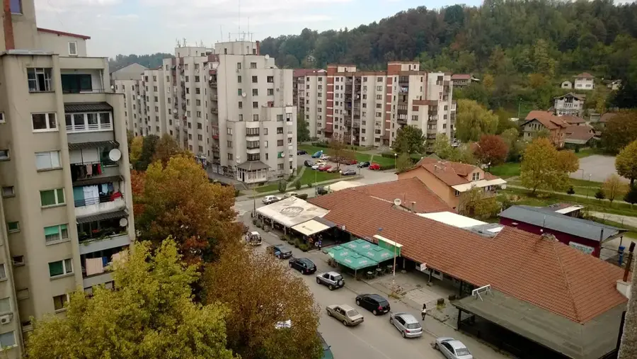
Town on the Drina river in Bosnia and Herzegovina, famous for its bridge.
Sights nearby
Frequently asked questions
Through which countries does the Drina flow?
What color is the water?
What is the Drina Regatta?
Are there canyons on the Drina?
What city is on the bank?
Drina: where is it located?
Drina: what is there to see?
Drina: when is the best time to visit?
Drina: why is it worth visiting?
Nearby cities