Plizio Visual Lab
Drina National Park
Weather…
Water temperature…
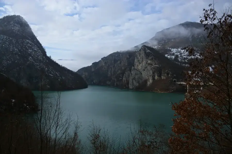
Drina National Park is the newest national park in Bosnia and Herzegovina, officially established in 2017. Located in the eastern part of the country within the Srebrenica municipality, it covers an area of about 63 square kilometers along the middle course of the Drina River. The park's primary feature is the spectacular Drina Canyon, which reaches depths of up to 1,000 meters, making it one of the deepest river canyons in the world. A significant botanical highlight is the endemic Serbian Spruce (Picea omorika), a rare Tertiary relict species found only in this border region between Bosnia and Serbia. The pristine wilderness provides a vital habitat for brown bears, chamois, and golden eagles. Geomorphologically, the area is defined by steep limestone cliffs and karst formations that tower over the emerald waters of the Drina. The park was established to protect the unique biodiversity and to promote sustainable tourism in this historically significant borderland.
- Location: Bosnia and Herzegovina
- Top sights: Klotijevac · Bilješka stena
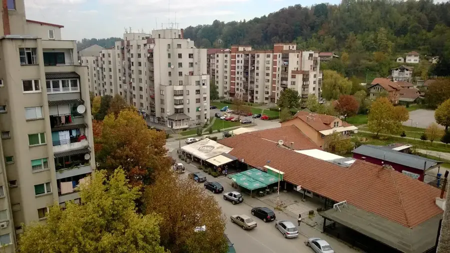
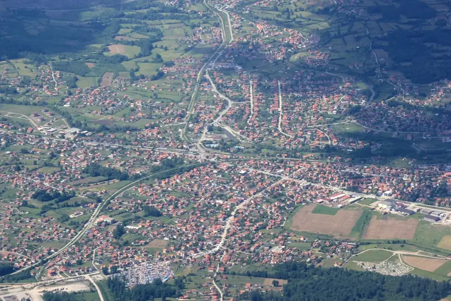
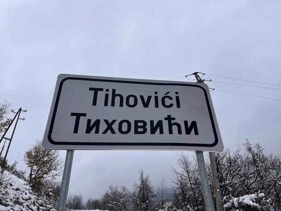
- Nearby: Srebrenica (13 km)
Best time to visit & climate
The most pleasant time to visit is Jun–Aug.
| Jan | Feb | Mar | Apr | May | Jun | Jul | Aug | Sep | Oct | Nov | Dec | |
|---|---|---|---|---|---|---|---|---|---|---|---|---|
| Avg °C | -2 | 0 | 4 | 9 | 14 | 17 | 20 | 20 | 15 | 10 | 5 | 0 |
| Rain mm | 61 | 62 | 70 | 67 | 98 | 108 | 76 | 65 | 74 | 69 | 70 | 69 |
📋 Practical info
Geography
Facts
- Year established: 2017
- Total area: 63 km²
- Canyon depth: Up to 1,000 m
- Endemic species: Serbian Spruce
- Location: Srebrenica municipality
- Wildlife: Habitat for brown bears
Explore nearby
Notable places around
Route planner — Car & Motorhome
Where do you start? We build the route here, with stops and country notes along the way.
© OpenStreetMap contributors · OpenRouteService
Sights in the town Drina National Park (2)
Sights nearby
Frequently asked questions
Where is Drina National Park located?
What is the rarest animal in the park?
Are boat tours available on the Drina?
What plant species is endemic here?
Is the park accessible all year round?
Drina National Park: where is it located?
Drina National Park: what is there to see?
Drina National Park: when is the best time to visit?
Drina National Park: why is it worth visiting?
Nearby cities