Plizio Visual Lab
Dinara (Troglav)
Weather…
Water temperature…
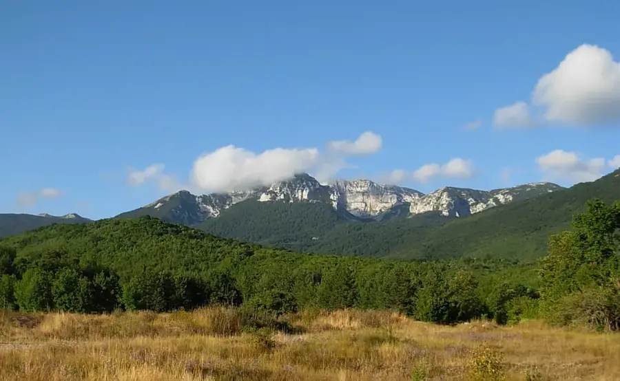
Troglav, at 1,913 meters, is the highest peak of the entire Dinara massif and is located entirely within the territory of Bosnia and Herzegovina, near the border with Croatia. This massif gave its name to the entire Dinaric Alps and stands as a prime example of the region's imposing karst geography. The ascent to Troglav leads through rugged, rocky landscapes characterized by deep dolines and prominent limestone ridges. Vegetation is sparse, consisting mainly of alpine grasses and endemic plants adapted to the extremely windy and volatile climate. From the summit, one can enjoy a spectacular panoramic view over Livanjsko Polje, one of the largest karst fields in the world, as well as the distant peaks of the Adriatic coast. Historically, the mountain range often served as a strategic barrier and was the site of numerous conflicts, as evidenced by the remains of military fortifications. For hikers, Troglav presents a significant challenge due to its remoteness and physical demands. The ecological importance of the area lies in its extensive underground water system, which is essential for the water supply of the surrounding regions.
- Location: Bosnia and Herzegovina
- Top sights: Troglav · Velika Duvjakuša · Mikurilja
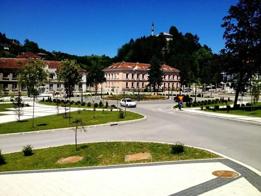
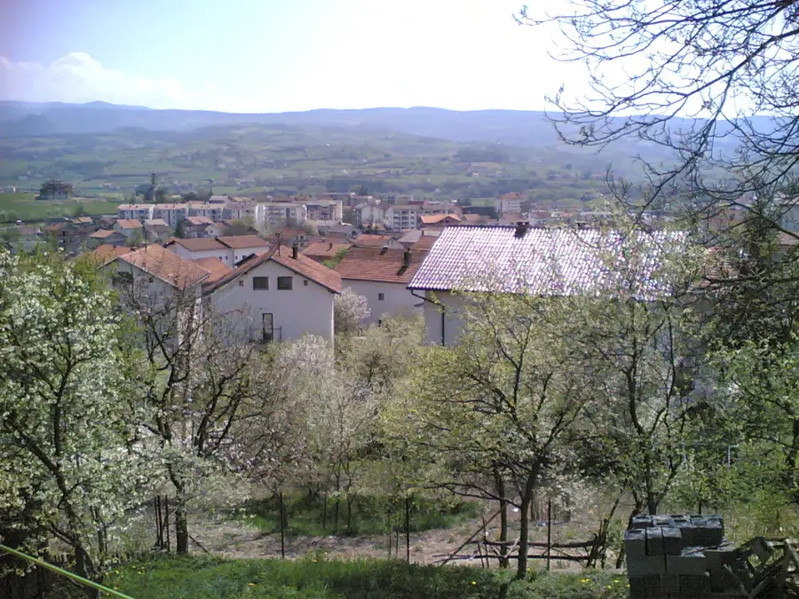
- Nearby: Glamoč (24 km)
Best time to visit & climate
The most pleasant time to visit is Jun–Aug.
| Jan | Feb | Mar | Apr | May | Jun | Jul | Aug | Sep | Oct | Nov | Dec | |
|---|---|---|---|---|---|---|---|---|---|---|---|---|
| Avg °C | 1 | 2 | 6 | 10 | 15 | 19 | 22 | 22 | 17 | 12 | 8 | 3 |
| Rain mm | 91 | 86 | 74 | 70 | 69 | 59 | 39 | 52 | 95 | 94 | 125 | 110 |
📋 Practical info
Geography
Facts
- Troglav is the highest peak of the Dinara massif at 1,913 meters.
- The mountain marks the natural border between Bosnia and Dalmatia.
- The name 'Troglav' translates to 'three-headed,' referring to its shape.
- Livanjsko Polje at the foot of the mountain covers about 400 km².
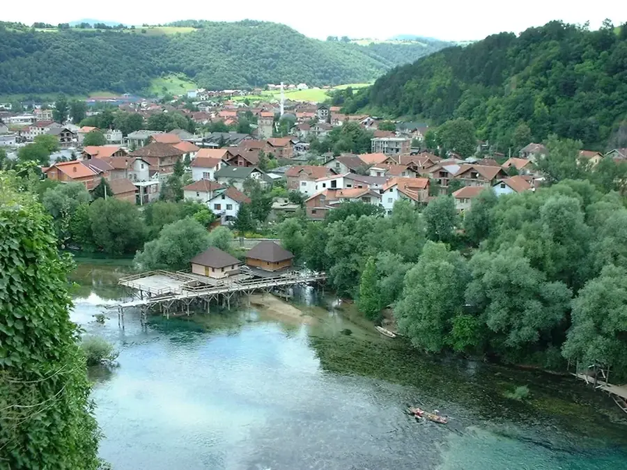
- The summit is located approximately 25 kilometers west of the town of Livno.
- Traces of prehistoric Illyrian settlements have been found in the region.
Explore nearby
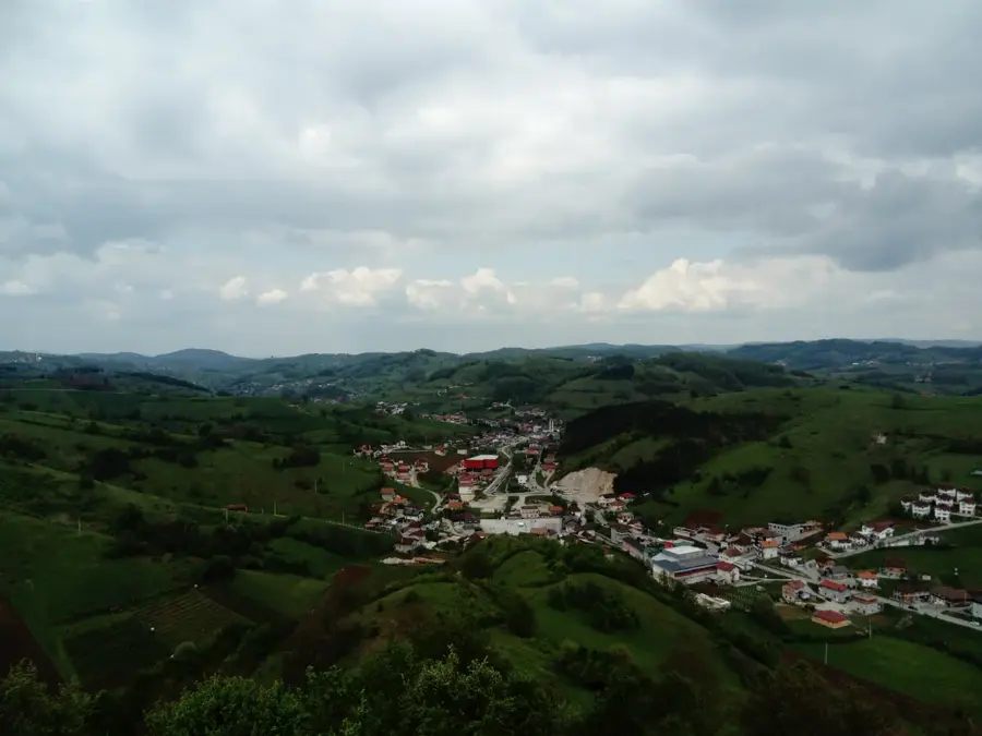
Notable places around
Route planner — Car & Motorhome
Where do you start? We build the route here, with stops and country notes along the way.
© OpenStreetMap contributors · OpenRouteService
Sights in the town Dinara (Troglav) (3)
Mikurilja
Mountain peak in Croatia, located in the southern part of the Dinara massif.
Sights nearby
Frequently asked questions
How high is the Troglav peak?
Where does the hike start from?
Is there drinking water on the mountain?
Is the trail marked?
When is the best time to visit?
Dinara (Troglav): where is it located?
Dinara (Troglav): what is there to see?
Dinara (Troglav): when is the best time to visit?
Dinara (Troglav): why is it worth visiting?
Nearby cities