Plizio Visual Lab
Svilaja
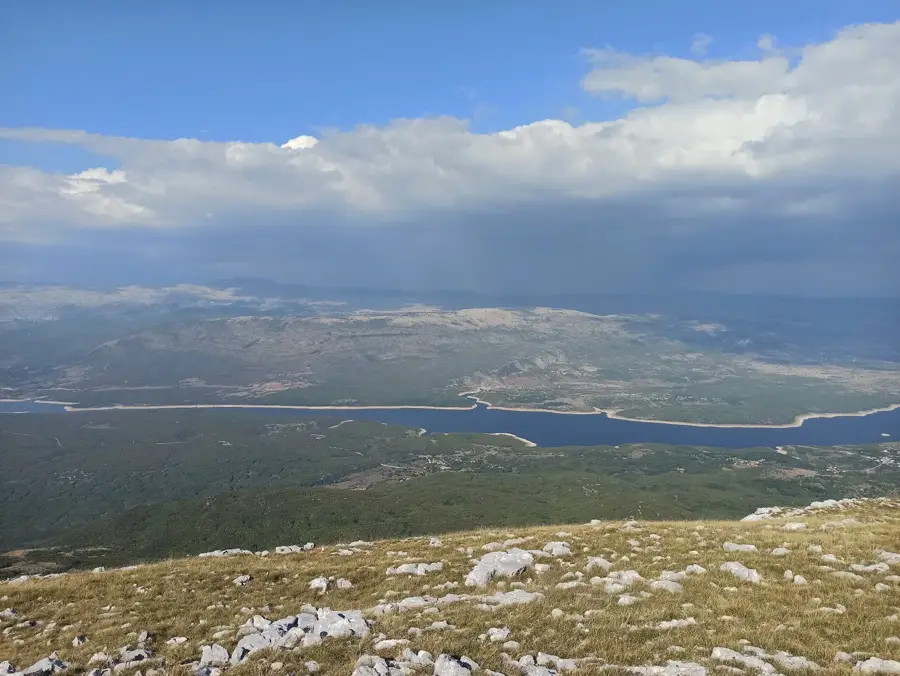
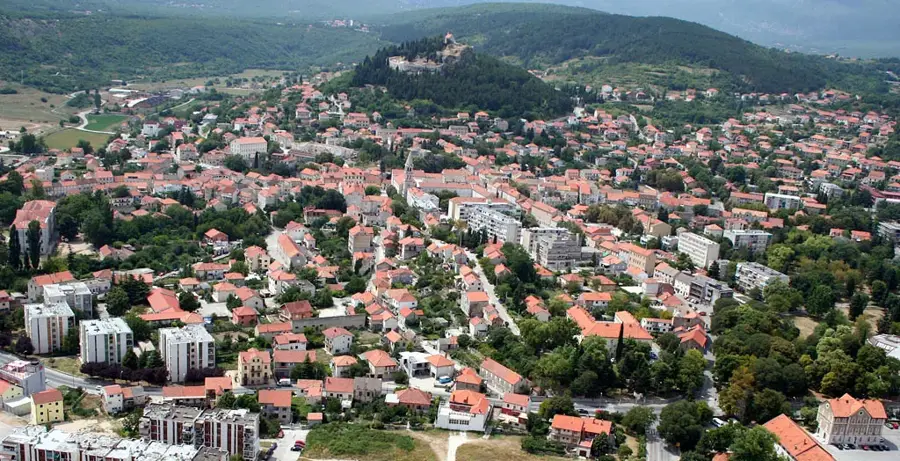
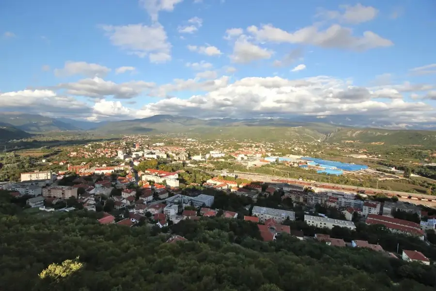
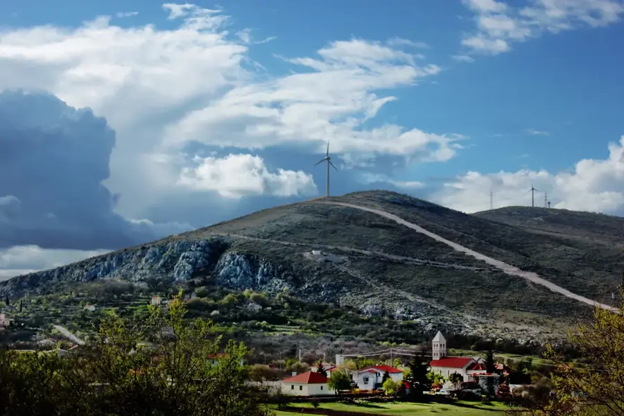
Svilaja is a mountain range in the Dalmatian hinterland, stretching parallel to the Dinara range and separating the Sinj field from the Drniš field. Its highest peak, also called Svilaja, reaches an elevation of 1,508 meters and is known for its vast, barren karst landscapes typical of the outer Dinaric Alps. Geologically, limestone dominates, leading to the formation of numerous deep pits and caves, many of which remain incompletely explored. The vegetation on the southern slopes is Mediterranean, while the northern side exhibits more continental features with beech and oak forests. Historically, the mountain was a vital site for transhumant pastoralism, with shepherds driving their herds to higher pastures during the summer months. During the Croatian War of Independence in the 1990s, Svilaja was a strategically important area, which is why hikers are advised to stick to marked trails today. Despite its past, the mountain is a destination for experienced hikers who appreciate the solitude and rugged beauty of the Dalmatian highlands. On clear days, the view from the summit extends to the Adriatic Sea and the offshore islands.
- Location: Croatia
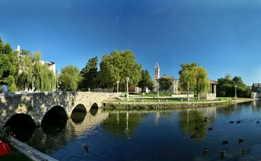
- Nearby: Podosoje (6 km)
Best time to visit & climate
The most pleasant time to visit is Jun–Aug.
| Jan | Feb | Mar | Apr | May | Jun | Jul | Aug | Sep | Oct | Nov | Dec | |
|---|---|---|---|---|---|---|---|---|---|---|---|---|
| Avg °C | 1 | 2 | 6 | 10 | 15 | 19 | 22 | 22 | 17 | 12 | 8 | 3 |
| Rain mm | 91 | 86 | 74 | 70 | 69 | 59 | 39 | 52 | 95 | 94 | 125 | 110 |
📋 Practical info
Geography
Facts
- Svilaja reaches a maximum height of 1,508 meters.
- The mountain range spans a length of approximately 30 kilometers.
- The summit offers a clear view of Lake Peruća in the Cetina valley.
- Geologically, Svilaja is composed of Mesozoic limestone and dolomite.
- Remnants of traditional shepherd huts, known as 'stanovi', can be found on its slopes.
- The area is part of the Natura 2000 ecological network for biodiversity protection.
Explore nearby
Notable places around
Route planner — Car & Motorhome
Where do you start? We build the route here, with stops and country notes along the way.
© OpenStreetMap contributors · OpenRouteService
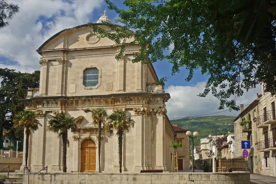
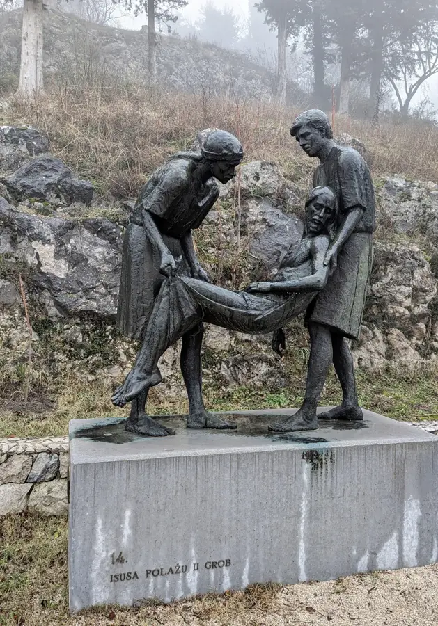
Sights in the town Svilaja (1)
Sights nearby
Frequently asked questions
Where is Svilaja mountain located?
How high is the highest peak?
Is there a danger of mines on Svilaja?
Is there accommodation for hikers?
What is special about the view?
Svilaja: where is it located?
Svilaja: when is the best time to visit?
Svilaja: why is it worth visiting?

Nearby cities