Plizio Visual Lab
Donga River

Weather…
Water temperature…
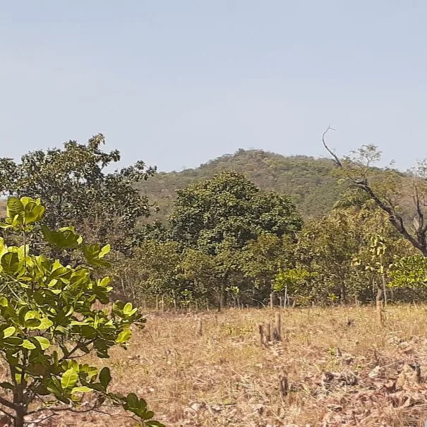
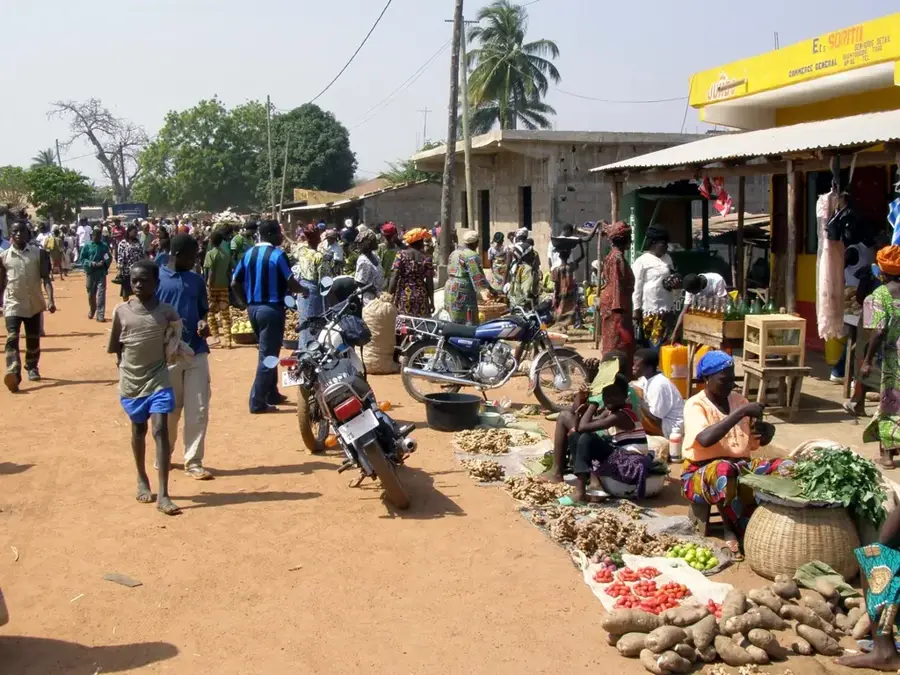
The Donga River is a key waterway in northwestern Benin, originating in the rugged Atakora Mountains. It flows primarily through the Donga Department, from which it derives its name, before ultimately joining the Mono River, which serves as the international border with Togo. The river is essential for the region's agricultural sector, providing crucial irrigation for crops in an otherwise arid savanna landscape. The Donga's banks are lined with gallery forests that offer vital habitats for a variety of bird species and small mammals. Historically, the river acted as a landmark for regional trade routes and a nucleus for the settlement of local ethnic groups. During the monsoon season, the Donga can transform into a fast-flowing torrent, while in the dry season, its flow diminishes significantly, occasionally drying up in some reaches. Protecting the Donga's watershed is fundamental for the health of the broader Mono River system and the water security of northwestern Benin.
Best time to visit & climate
The most pleasant time to visit is Jan, Nov, Dec.
| Jan | Feb | Mar | Apr | May | Jun | Jul | Aug | Sep | Oct | Nov | Dec | |
|---|---|---|---|---|---|---|---|---|---|---|---|---|
| Avg °C | 25 | 28 | 29 | 29 | 27 | 26 | 25 | 25 | 25 | 25 | 26 | 24 |
| Rain mm | 5 | 9 | 35 | 89 | 126 | 147 | 200 | 218 | 210 | 120 | 10 | 2 |
📋 Practical info
Geography
Facts
- The Donga originates in the Atakora range at an altitude of 500m.
- It is a primary tributary of the Mono River system.
- The river flows through the administrative areas of Djougou and Copargo.
- Gallery forests along the Donga host rare kingfisher species.
- The Donga River has an estimated total length of 150 kilometers.
- Large sections of the riverbed are characterized by sandy sediment deposits.
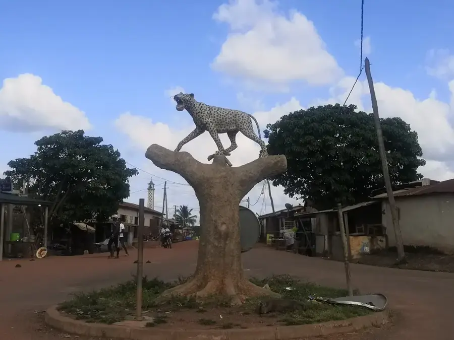
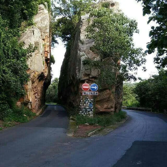
Explore nearby
Notable places around
Route planner — Car & Motorhome
Where do you start? We build the route here, with stops and country notes along the way.
© OpenStreetMap contributors · OpenRouteService
Sights nearby
Frequently asked questions
Where does the Donga River flow?
What role does the river play for the region?
Are there bridges over the Donga?
Can you go fishing in the river?
How does the river change in the dry season?
Donga River: where is it located?
Donga River: when is the best time to visit?
Donga River: why is it worth visiting?

Nearby cities


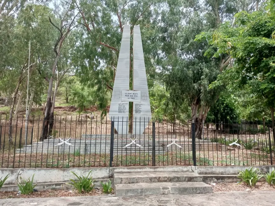
History & landmarks
Nature

More places