Plizio Visual Lab
Kambolé
ℹ️Practical info — Kambolé
▾
🌤 Weather — 5 days
📍 Nearby
Sights nearby
💡 Tips
- The traditional mud-brick architecture is fascinating; late afternoon sunlight provides the best lighting for photography.
- Being close to the Benin border, you might encounter different currencies, but CFA francs are the standard; keep cash on hand.
- Greet elders respectfully, as traditional hierarchies are highly valued in the local community.
- The roads in the Centrale Region can be dusty during the dry season, so protect your camera equipment.
🍽 Food
A staple dish of pounded yams with a flavorful broth, available at local chop bars.
A thick maize or millet porridge typically eaten with a savory sauce.
A regional delicacy, often prepared over open fires by street vendors.
🛍 Shopping · 🧘 Quiet spots
The town and surrounding areas are known for traditional pottery methods; look for local workshops.
Visit the market for fresh yams, maize, and regional spices directly from local farmers.
Take a quiet walk away from the town center to admire the traditional mud-brick houses blending into the landscape.
Find a large, old baobab tree just outside the bustling areas to sit and escape the midday sun.
Water temperature…
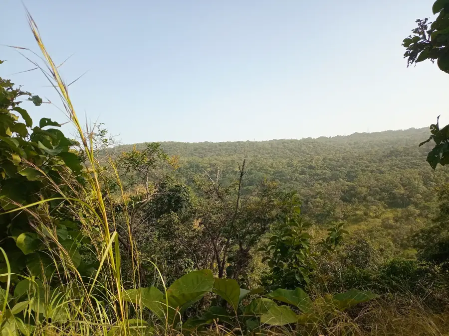
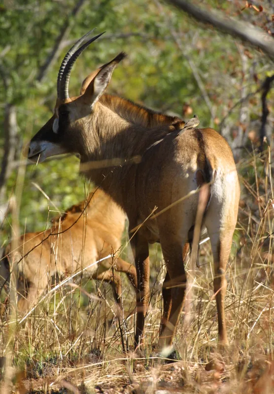
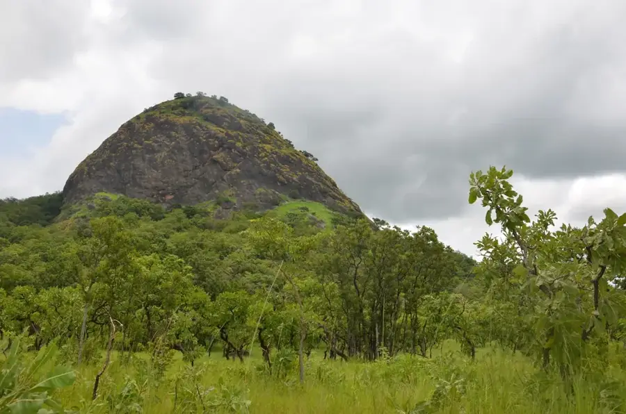
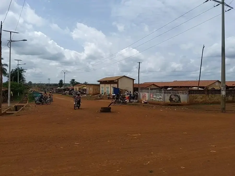
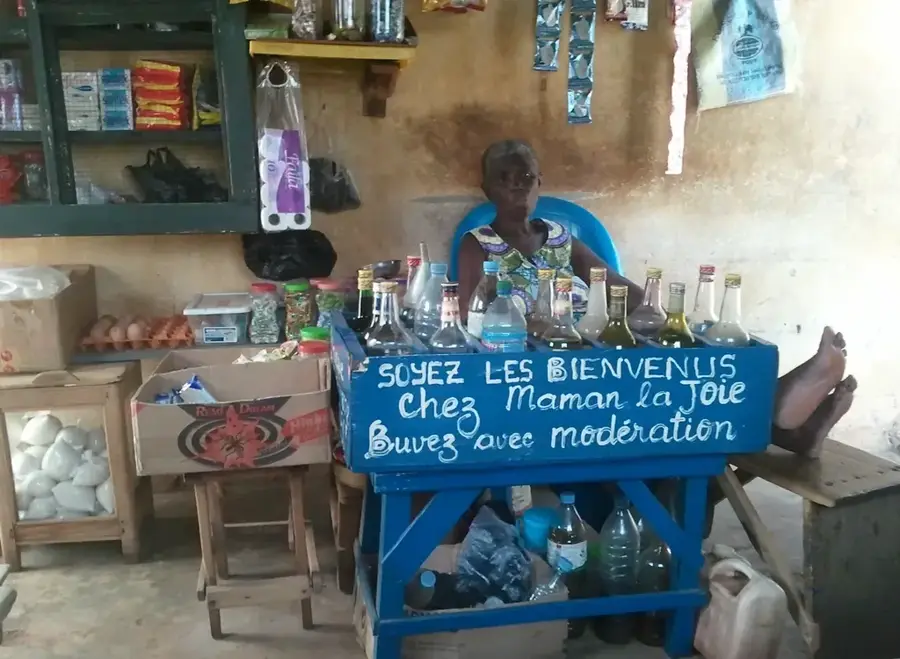
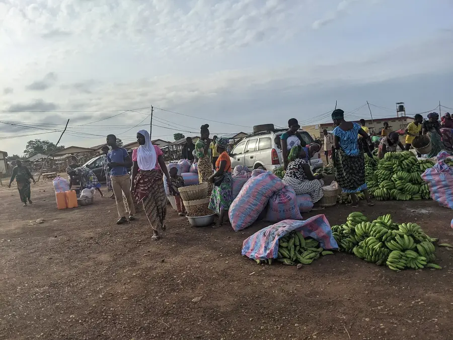
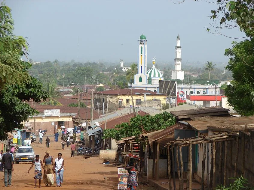
Kambolé lies in the eastern Centrale Region near the border with Benin and belongs to Tchamba Prefecture. The town is surrounded by a typical West African dry savanna landscape dotted with baobab and néré trees, whose fruits are gathered by the local population and turned into specialities such as soumbala (a fermented sauce). Architecturally, Kambolé is famous for its traditional mud-brick buildings, whose conical thatched roofs and intricately decorated walls give the town a unique charm. The population is predominantly Ana, a sub-group of the Yoruba, who preserve their language and deeply rooted religious customs. Religiously, Kambolé is marked by a blend of Islam, Christianity and traditional African religions. The regional economy is based on growing sorghum, millet, yams and groundnuts, as well as livestock raising. The weekly market also attracts traders from across the Beninese border.
- Location: Togo
- Nearby: Tchamba (18 km)
Best time to visit & climate
The most pleasant time to visit is Jan, Nov, Dec.
| Jan | Feb | Mar | Apr | May | Jun | Jul | Aug | Sep | Oct | Nov | Dec | |
|---|---|---|---|---|---|---|---|---|---|---|---|---|
| Avg °C | 25 | 28 | 29 | 28 | 27 | 26 | 25 | 24 | 25 | 25 | 26 | 25 |
| Rain mm | 7 | 12 | 43 | 98 | 133 | 162 | 219 | 217 | 228 | 129 | 13 | 3 |
Geography
Facts
- Home of the Ana people with Yoruban roots.
- Famous for the Kambolé dance, a UNESCO candidate.
- Located in the Tchamba Prefecture of the Central Region.
- Center for traditional spiritual ceremonies.
- Unique architecture of Ana homesteads.
- Important site for the preservation of rare West African dialects.
Explore nearby
Notable places around
Route planner — Car & Motorhome
Where do you start? We build the route here, with stops and country notes along the way.
© OpenStreetMap contributors · OpenRouteService
Frequently asked questions
Time for Kambolé?
When?
Arrival?
Food?
Children?
Kambolé: where is it located?
Kambolé: when is the best time to visit?
Kambolé: why is it worth visiting?

Nearby cities


History & landmarks
Nature
More places