Plizio Visual Lab
Lesse Valley
Weather…
Water temperature…
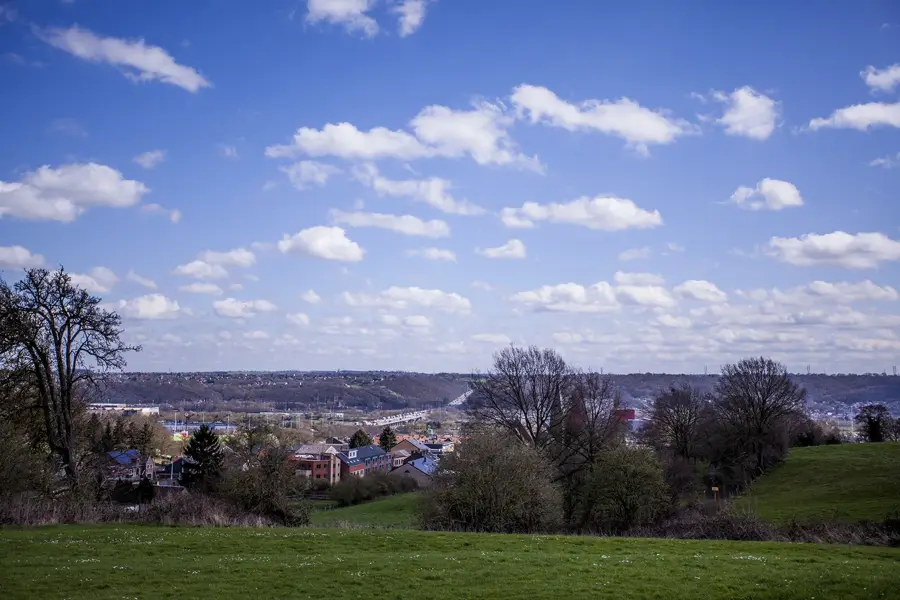
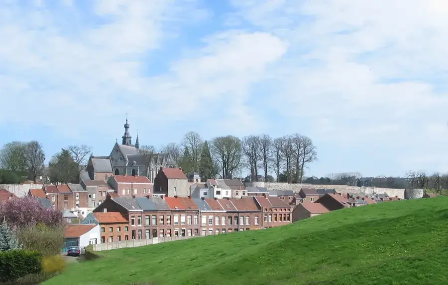
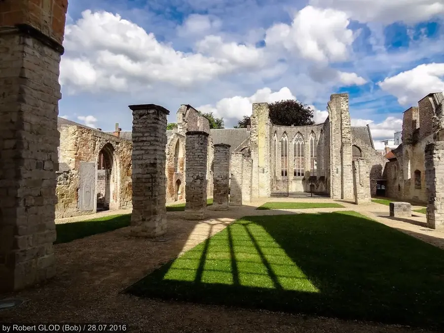
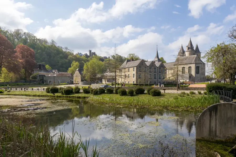
The Lesse Valley extends through southeastern Belgium in the provinces of Luxembourg and Namur, forming a significant part of the Meuse river basin. The Lesse river originates near Ochamps in the Ardennes and flows for approximately 89 kilometers before joining the Meuse at Anseremme. Geologically, the valley is renowned for its impressive limestone formations and extensive karst systems, with the Caves of Han-sur-Lesse being among the most prominent natural landmarks in Europe. A unique hydrological feature occurs at the Trou de Belvaux, where the river vanishes underground into a sinkhole, re-emerging on the other side of the limestone massif. The valley is currently a central component of the UNESCO Global Geopark Famenne-Ardenne and serves as a vital habitat for various protected bat species. Historically, the valley's numerous rock shelters and caves provided refuge for human settlements as far back as the Paleolithic era, as evidenced by archaeological excavations.
- Location: Belgium
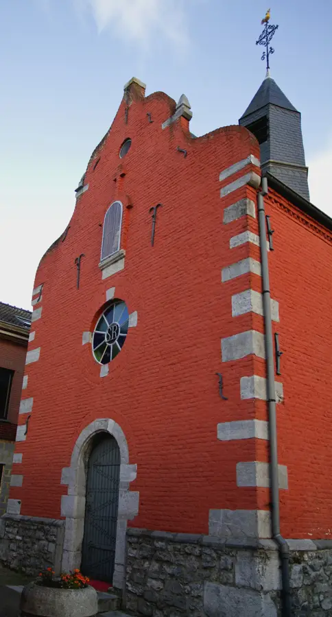
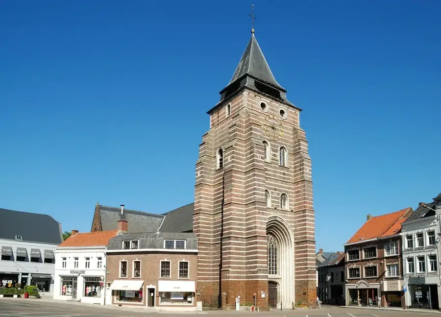
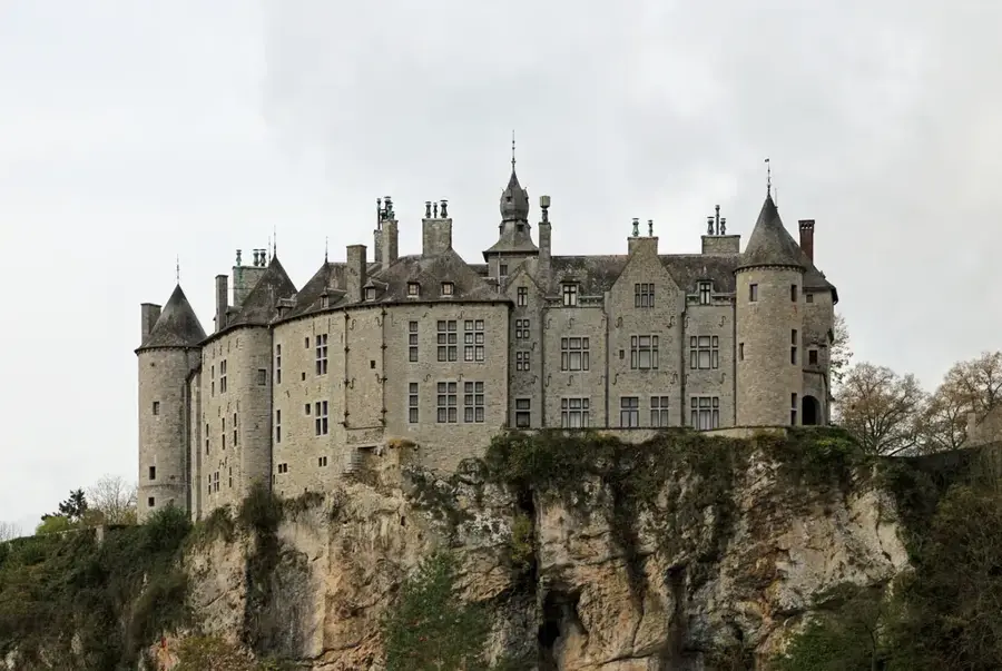
- Top sights: Château-Ferme de Custinne · Tilleul de Conjoux · Grotte de Lourdes
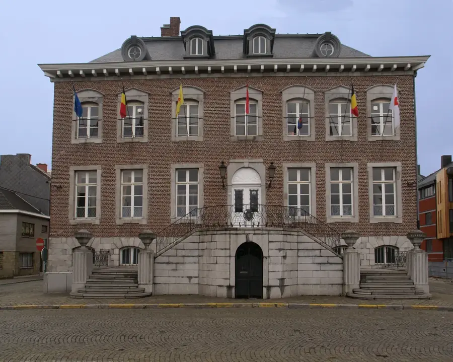
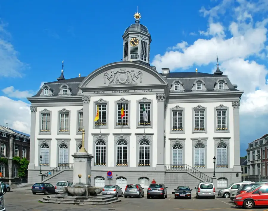
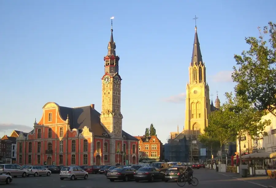
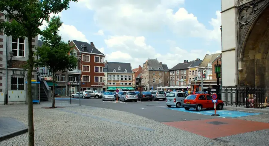
- Nearby: Ciney (9 km)
Best time to visit & climate
The most pleasant time to visit is Jun–Aug.
| Jan | Feb | Mar | Apr | May | Jun | Jul | Aug | Sep | Oct | Nov | Dec | |
|---|---|---|---|---|---|---|---|---|---|---|---|---|
| Avg °C | 1 | 1 | 5 | 9 | 12 | 16 | 18 | 18 | 14 | 10 | 5 | 2 |
| Rain mm | 83 | 71 | 67 | 51 | 72 | 73 | 74 | 83 | 56 | 69 | 77 | 92 |
📋 Practical info
Geography
Facts
- The Lesse river has a total length of approximately 89 kilometers.
- Trou de Belvaux is an active sinkhole where the Lesse disappears underground.
- The Caves of Han-sur-Lesse were the first natural site classified in Belgium in 1970.
- The valley is an integral part of the Famenne-Ardenne UNESCO Global Geopark.
- The confluence with the Meuse river occurs at an elevation of 95 meters.
- Archaeological findings in the valley's caves date back over 40,000 years.
Explore nearby
Notable places around
Route planner — Car & Motorhome
Where do you start? We build the route here, with stops and country notes along the way.
© OpenStreetMap contributors · OpenRouteService
Sights in the town Lesse Valley (5)
Château de Reux🏰 castle
Neo-traditional castle in Reux, Belgium.
Sights nearby
Frequently asked questions
What is the most popular activity in the Lesse Valley?
How long is the classic kayaking tour?
Are there caves in the valley?
Which castle is located in the Lesse Valley?
Can you also go hiking there?
Lesse Valley: where is it located?
Lesse Valley: what is there to see?
Lesse Valley: when is the best time to visit?
Lesse Valley: why is it worth visiting?

Nearby cities