Plizio Visual Lab
Deux Ourthes Natural Park
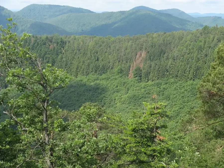
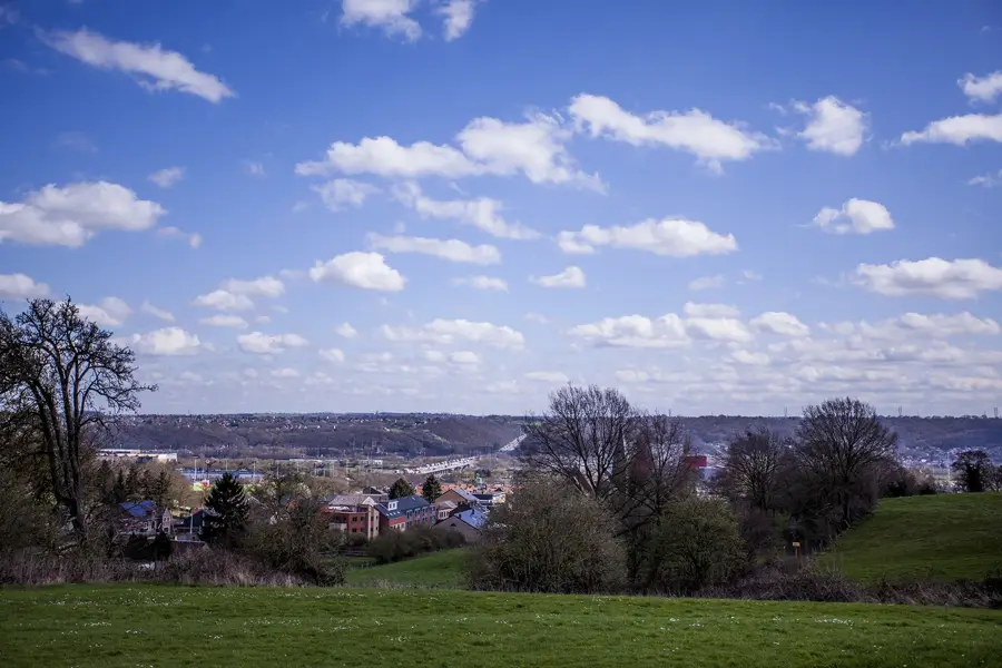
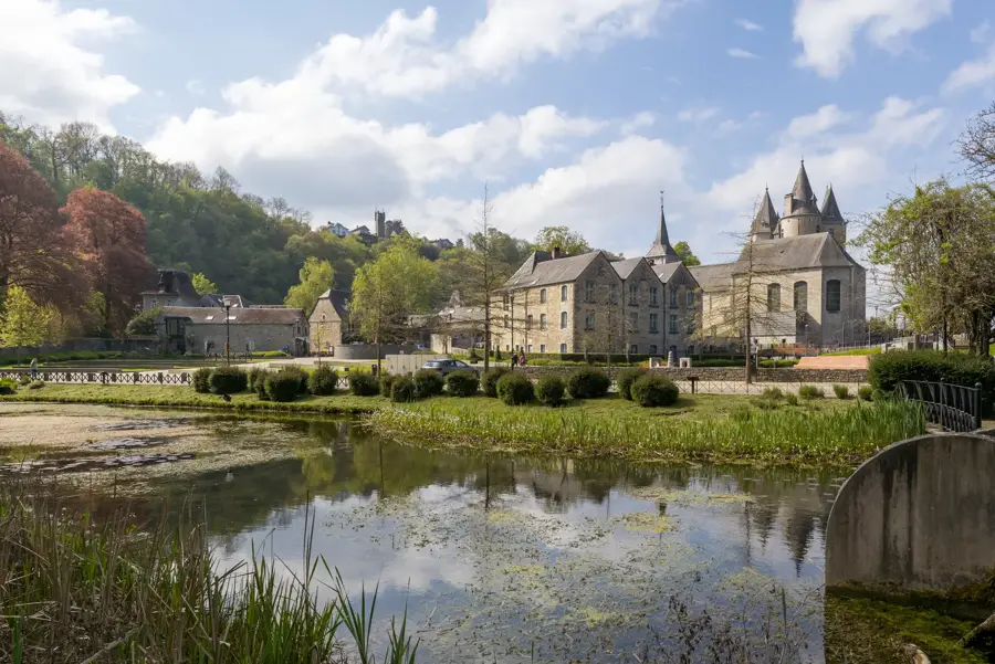
The Deux Ourthes (Two Ourthes) Natural Park, positioned deep within the rugged heart of the Belgian Ardennes, is a sprawling 76,000-hectare protected area dominated by the wild, meandering valleys of the Western and Eastern Ourthe rivers, which converge picturesquely near the town of Houffalize. The region is widely celebrated for its untamed topography, characterized by extremely steep, densely forested slopes, deeply carved ravines, and high, windswept agricultural plateaus. One of the park's most wide-open geological features is the Rock of Hérou (Le Rocher du Hérou), a massive, kilometer-long jagged rock face that plunges almost vertically into the rushing river below. Beyond its dramatic geology, the park acts as a vital sanctuary for diverse wildlife, including nesting black storks, European beavers, and kingfishers that hunt in the pristine waters of its reservoirs, notably the expansive Nisramont dam lake. An extensive network of challenging hiking trails, including sections of the famous Escapardenne Eislek Trail, makes it a premier destination for European outdoor enthusiasts.
- Location: Belgium
- Nearby: La Roche-en-Ardenne (12 km)
Best time to visit & climate
The most pleasant time to visit is Jun–Aug.
| Jan | Feb | Mar | Apr | May | Jun | Jul | Aug | Sep | Oct | Nov | Dec | |
|---|---|---|---|---|---|---|---|---|---|---|---|---|
| Avg °C | 0 | 1 | 4 | 8 | 12 | 16 | 18 | 17 | 13 | 9 | 5 | 1 |
| Rain mm | 84 | 73 | 69 | 52 | 76 | 76 | 76 | 85 | 60 | 72 | 79 | 93 |
📋 Practical info
Geography
Explore nearby
Notable places around
Route planner — Car & Motorhome
Where do you start? We build the route here, with stops and country notes along the way.
© OpenStreetMap contributors · OpenRouteService
Sights in the town Deux Ourthes Natural Park (1)
Sights nearby
Frequently asked questions
What does the name Deux Ourthes mean?
Where is this nature park located?
Can you go canoeing there?
Are there good viewpoints?
Is the park suitable for hiking?
Deux Ourthes Natural Park: where is it located?
Deux Ourthes Natural Park: when is the best time to visit?
Deux Ourthes Natural Park: why is it worth visiting?

Nearby cities